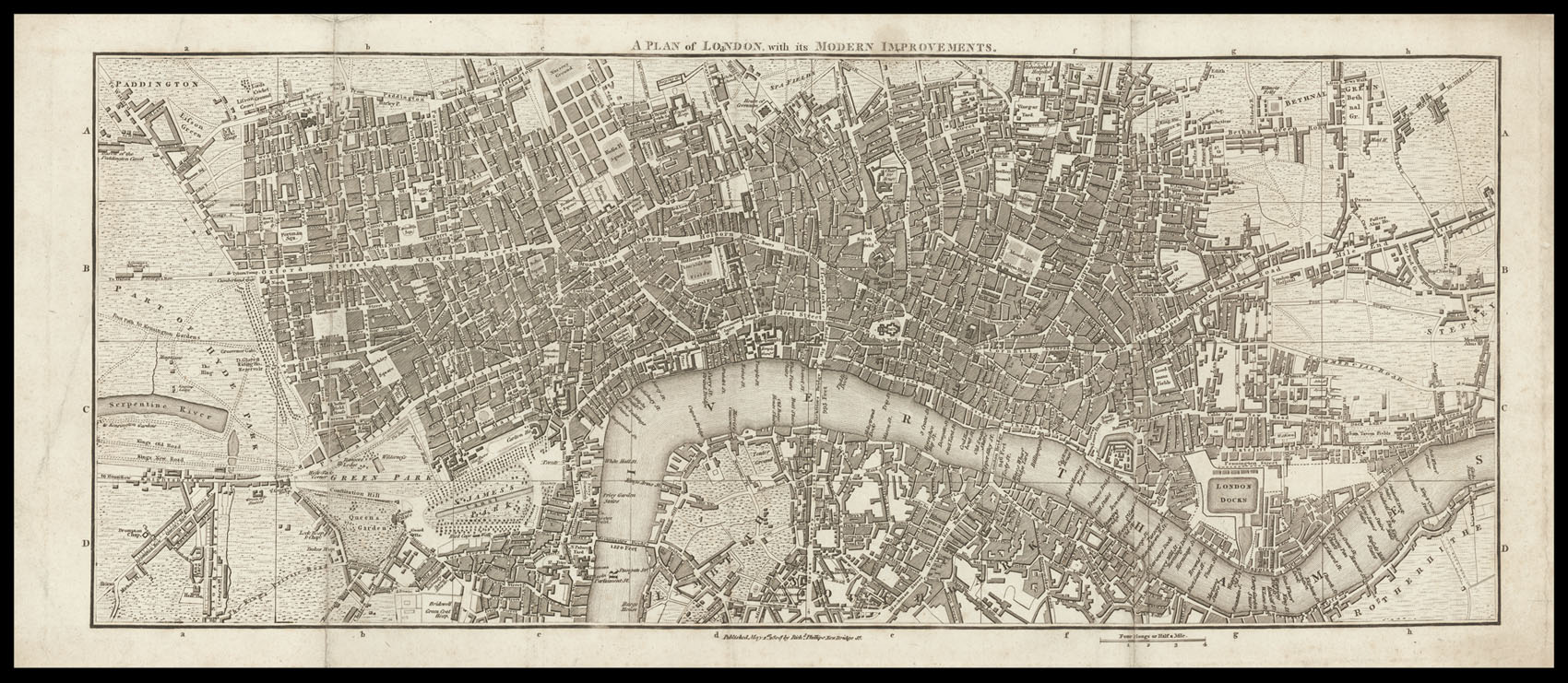
Published in a 'Picture of London for 1809... Printed for Richard Phillips'. According to Howgego this state of the map also appeared in the 1810, 1811, 1812 and 1813 editions of the 'Picture of London'.
Scale: approx. 3 1/2 inches to 1 statute mile.
...
Published in a 'Picture of London for 1809... Printed for Richard Phillips'. According to Howgego this state of the map also appeared in the 1810, 1811, 1812 and 1813 editions of the 'Picture of London'.