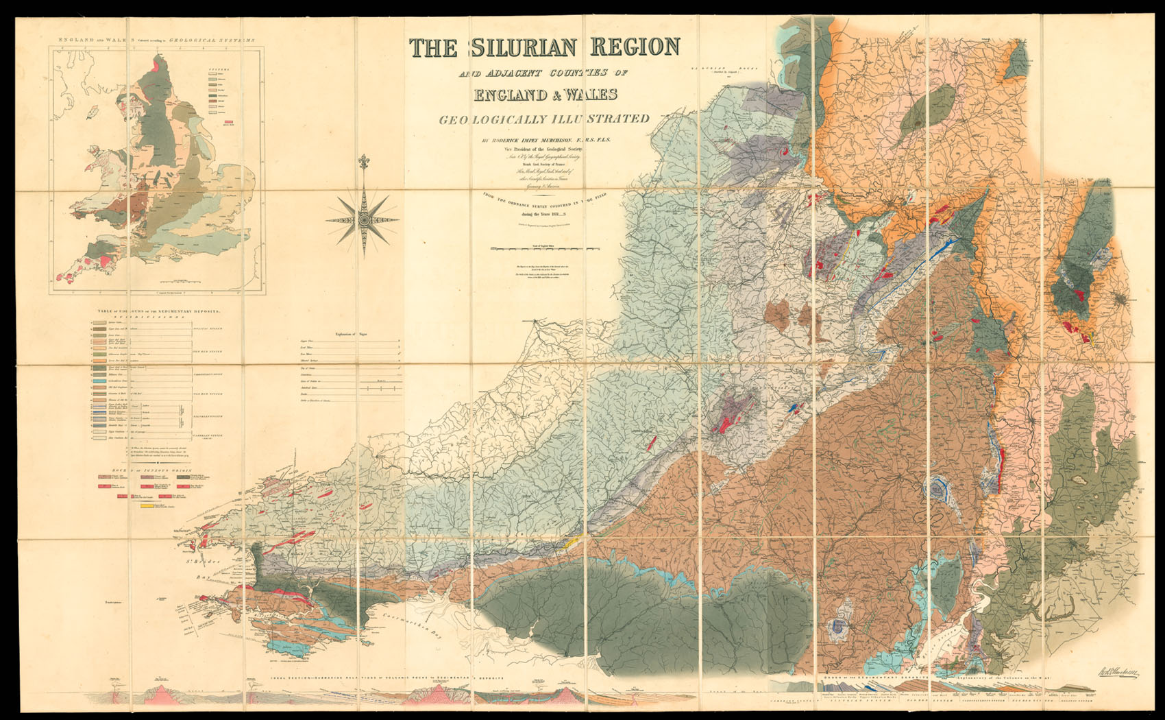
The Silurian Region
and Adjacent Counties of England and Wales. Geographically Illustrated By Roderick Impey Murchison F.R.S. F.L.S. Vice President of the Geological Society. Late V.P. of the Royal Geographical Society. Memb. Geol. Society France. Hon. Memb. Royal Irish Acad. and of other Scientific Societies in France, Germany and America. From the Ordnance Survey Coloured in the Field during the Years 1831-8. Drawn and Engraved by J. Gardner, Regent Street, London.
London,
[1839].
Large engraved map on three sheets, fine original hand-colour, dissected and mounted on linen, inset geological map of England and Wales.
920 by 1470mm (36.25 by 57.75 inches).
1925
notes:
In 1831 Murchison went to the border of England and Wales, to attempt to discover whether the greywacke rocks underlying the Old Red Sandstone could be grouped into a definite order of succession. The result was the establishment of the Silurian system under which were grouped, for the first time, a remarkable series of formations, each replete with distinctive organic remains other than and very different from those of the other rocks of England. These researches, together...
bibliography:
provenance:


