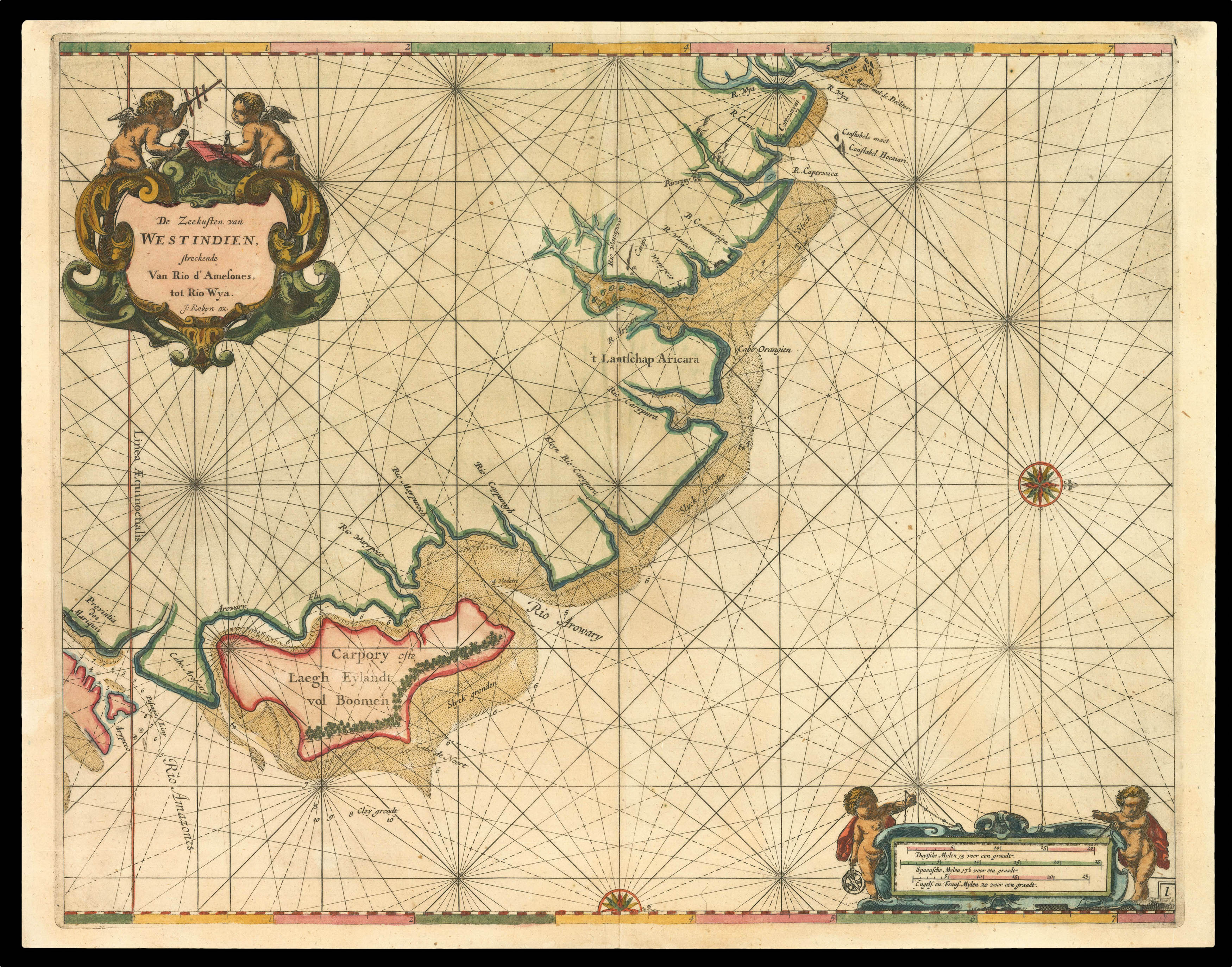
This first large scale printed chart of Brazil and the Amazon
De Zeekusten van Westindien
Amsterdam,
[c1680]
Double-page engraved chart with fine hand-colour in part and in outline.
430 by 535mm (17 by 21 inches).
2933
notes:
Roggeveen's rare large scale chart of the Amazonian delta - published in Roggeveen's exceedingly rare sea pilot 'Het Brandende Veen'.
This map shows the northern end of the Amazonian delta which empties out into the Atlantic to the lower leftmost corner, with the "Linea Aequinoetialis", or equator, clearly delineated. The coastal outline progresses into Brazil's northeastern coast in the Brazilian state of Amapa, whose River Oyapock (identified as "Rio Warypoco" ...
This map shows the northern end of the Amazonian delta which empties out into the Atlantic to the lower leftmost corner, with the "Linea Aequinoetialis", or equator, clearly delineated. The coastal outline progresses into Brazil's northeastern coast in the Brazilian state of Amapa, whose River Oyapock (identified as "Rio Warypoco" ...
bibliography:
provenance:


