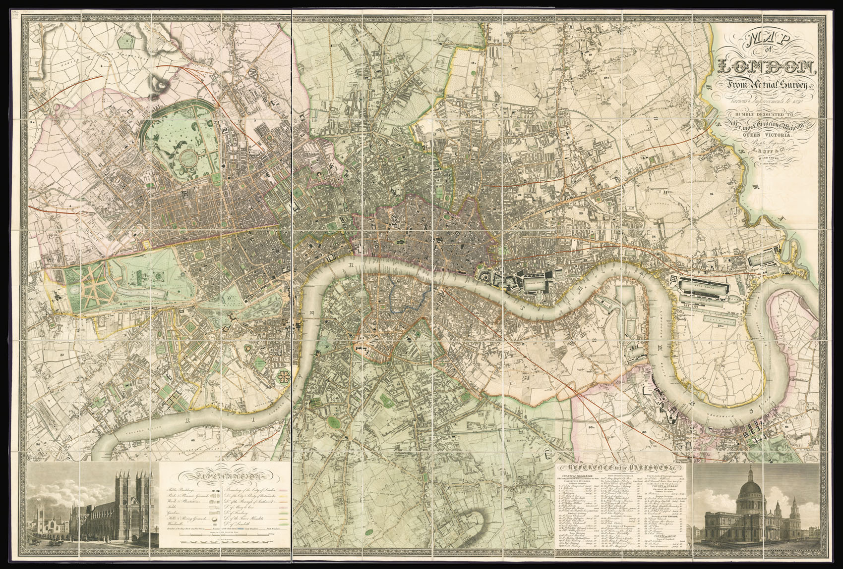
Map of London,
from an actual Survey made in the Years 1824.1825 & 1826. By C. and J. Greenwood.
London,
Published, By the Proprietors, Greenwood Co., Pall Mall,
August 31st, 1840.
Large engraved map on six sheets, fine original full wash hand-colour.
1290 by 1880mm. (50.75 by 74 inches).
11478
notes:
Christopher and John Greenwood state in the title that the plan was made from an "Actual Survey", which had taken three years. Plans at the time were often copied from older surveys, or re-issued with minor updating; so conducting a new survey was indeed something to boast about. The plan, which was finely engraved by James and Josiah Neele, is stylistically similar to the Ordnance Survey maps of the time, although it was engraved on a much larger scale of eight inches to t...
bibliography:
Howgego 309 (5).
provenance:


