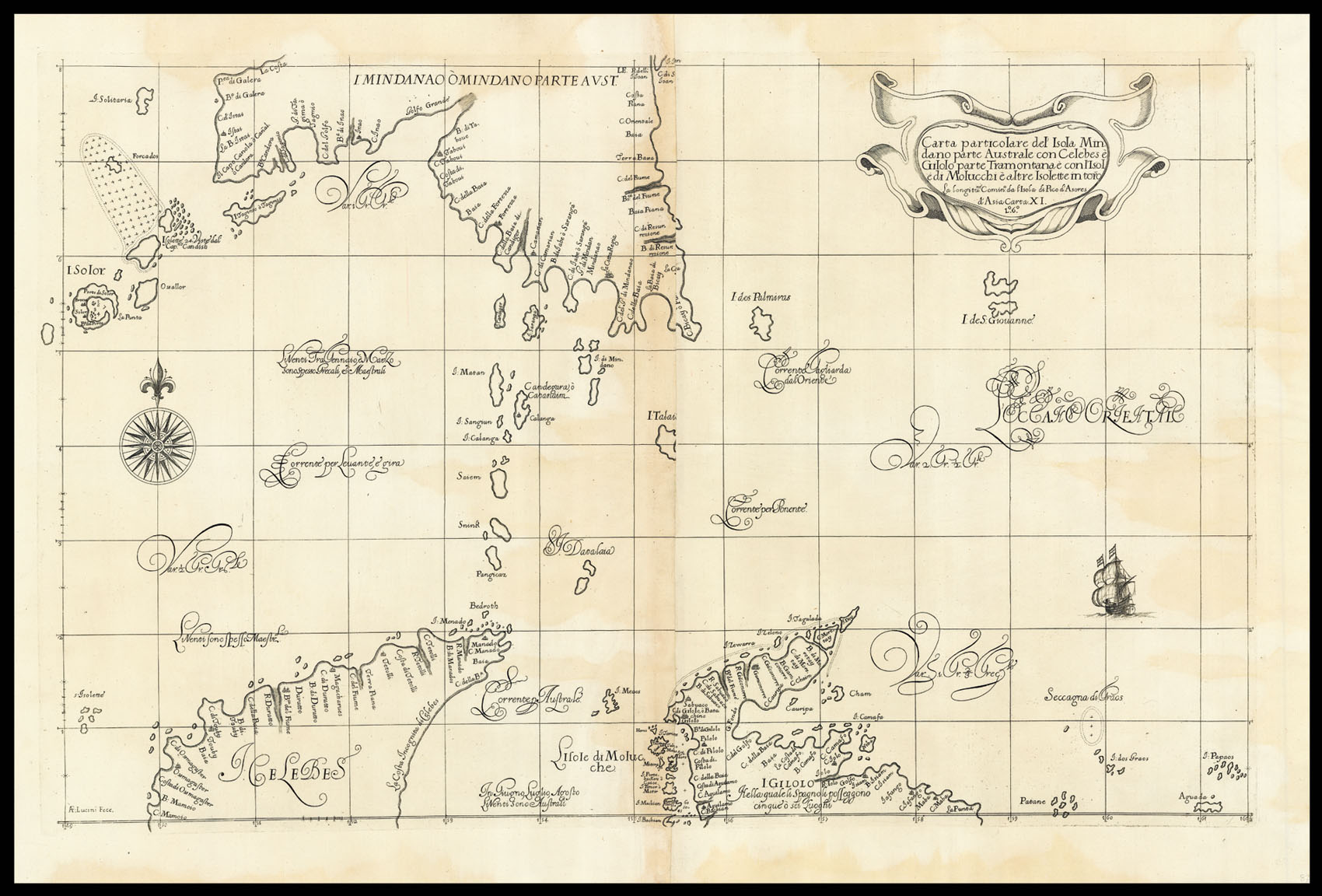
Carta particolare del'Isola Mindano parte Australe con Celebes e Gilolo parte Tramontana e con l'Isole di Molucchi e altre Isolette in toro
Florence,
Giuseppe Cocchini,
1661
Engraved map.
475 by 750mm. (18.75 by 29.5 inches).
11909
notes:
Map showing the islands in the Celebes Sea, including the southern Mindanao group of the Philippines, the Maluku Islands, and the northern coast of the island of Sulawesi in Indonesia.
From the 'Arcano del Mare', one the "greatest atlases of the world" (Wardington). First published in 1646 when its author, Robert Dudley, was 73, it was not only the first sea atlas of the world, but also the first to use Mercator's projection; the earliest to show magnetic deviati...
From the 'Arcano del Mare', one the "greatest atlases of the world" (Wardington). First published in 1646 when its author, Robert Dudley, was 73, it was not only the first sea atlas of the world, but also the first to use Mercator's projection; the earliest to show magnetic deviati...
bibliography:
Phillips, Atlases 457, 458 and 3428; cf. Shirley, BL, M.DUD-1a–1e.
provenance:


