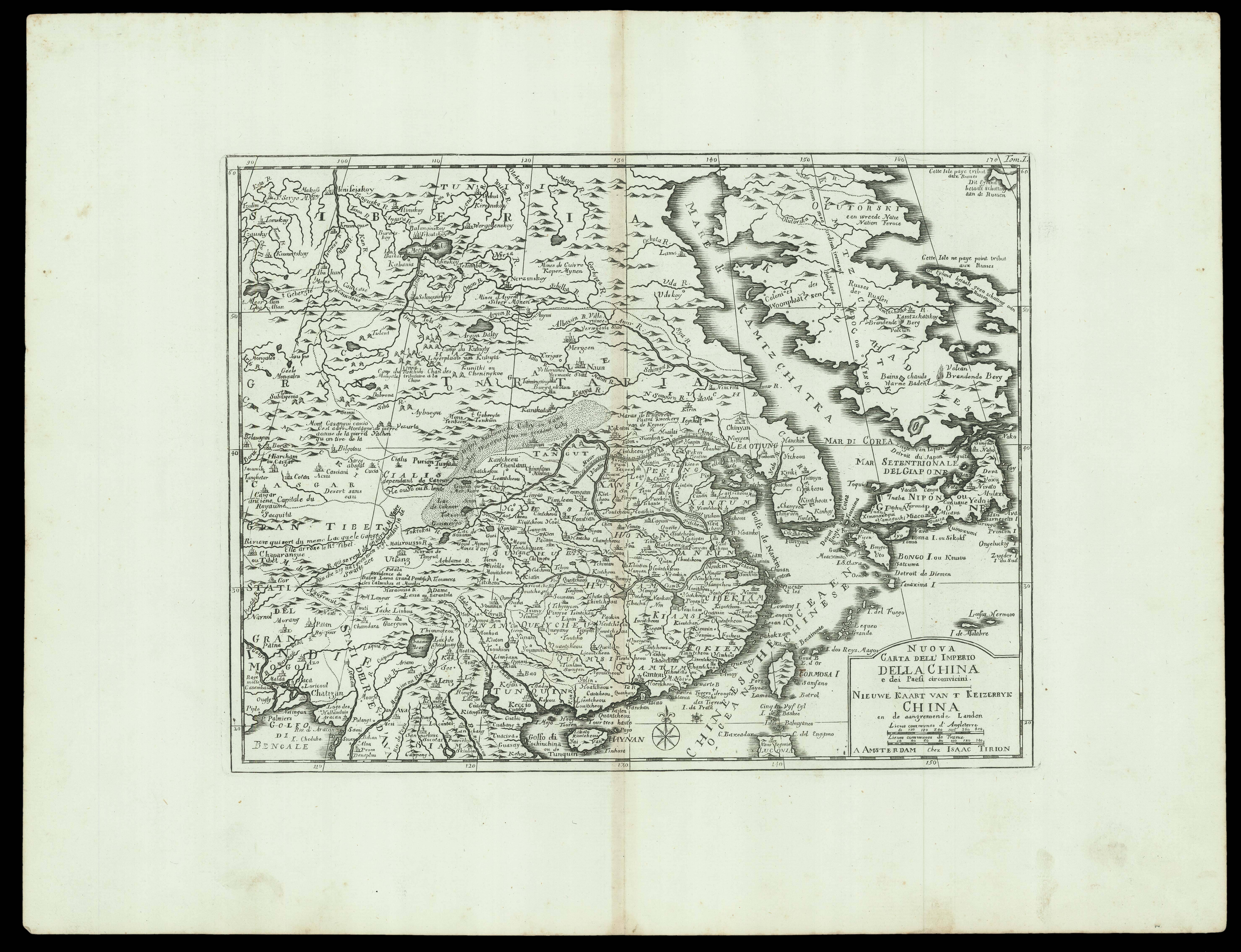
Nuova Carta dell' Imperio Della China e dei Paesi circonvicini;
Nieuwe Kaart van t Keizerryk China en de aangresende Landen
Amsterdam,
Isaac Tirion,
[c1740].
Engraved map.
372 by 485mm. (14.75 by 19 inches).
15843
notes:
A map of East Asia including China, Japan, and Korea, an Italian edition of the 'Nieuwe Hand-Atlas' by Tirion.
The map depicts the region from Tibet and India to Japan and from Siberia and the Kamchatka Peninsula to Thailand, Laos, and Vietnam. Based on a map originally created by Guillaume Delisle (1675-1726), the geographical features and places are marked in two languages French and Dutch, while the title is written in Italian and Dutch.
A few curi...
bibliography:
provenance:


