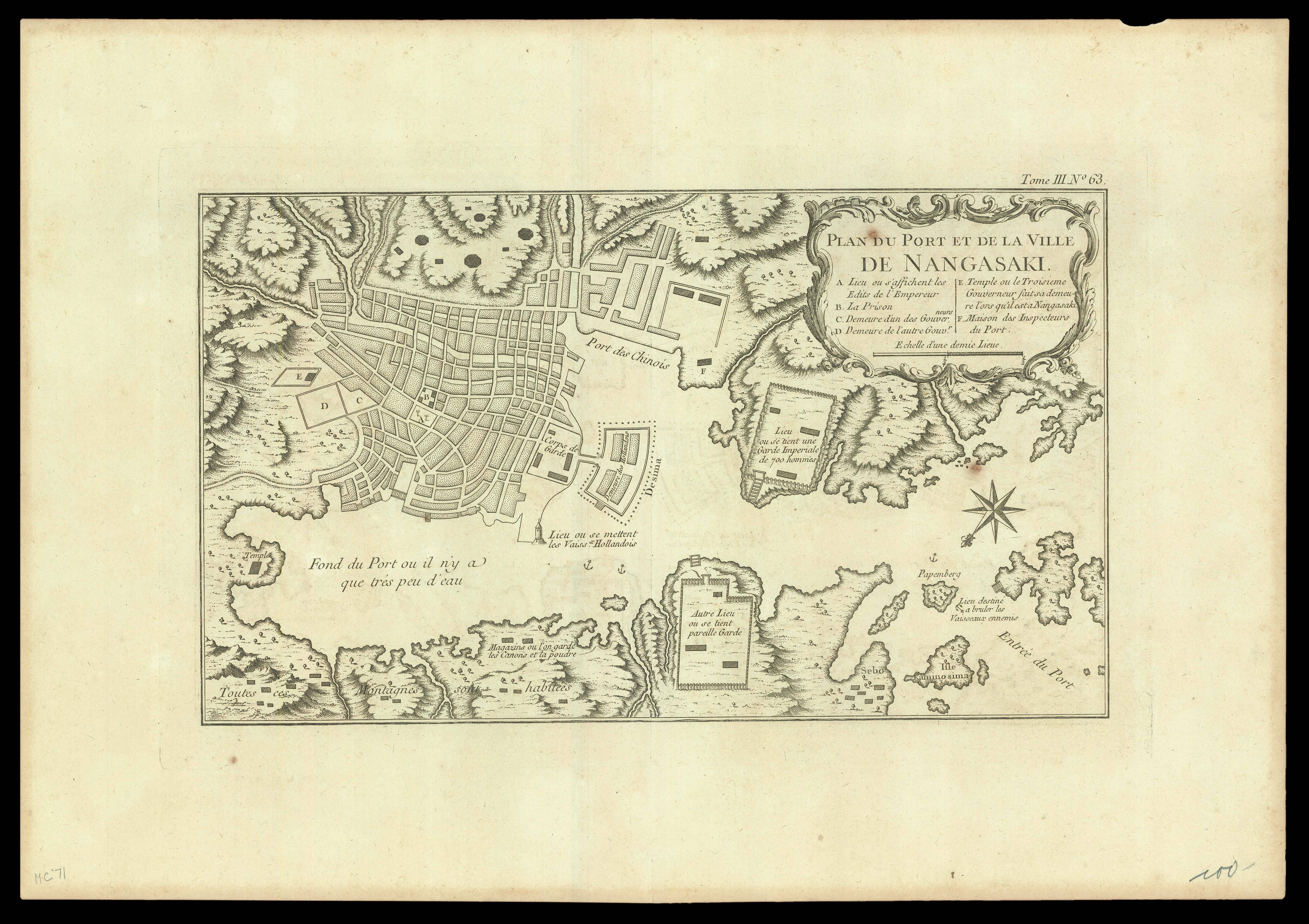
A plan of Nagasaki from Jacques Nicolas Bellin's 'Petit Atlas Maritime'. Bellin published 'Le Petit Atlas' to provide a smaller version of his larger works. This plan was first created for the 'Histoire Generale des Voyages', by the Abbé Prévost.
Jacques-Nicolas Bellin (1703–1772) joined the "Dépôt des Cartes et Plans de la Marine" in 1721, at the age of 18, one year after it had been established, as the first "Ingénieur hydrographe de la Marine", a post he held...
A plan of Nagasaki from Jacques Nicolas Bellin's 'Petit Atlas Maritime'. Bellin published 'Le Petit Atlas' to provide a smaller version of his larger works. This plan was first created for the 'Histoire Generale des Voyages', by the Abbé Prévost.
Jacques-Nicolas Bellin (1703–1772) joined the "Dépôt des Cartes et Plans de la Marine" in 1721, at the age of 18, one year after it had been established, as the first "Ingénieur hydrographe de la Marine", a post he held until his death in 1772.