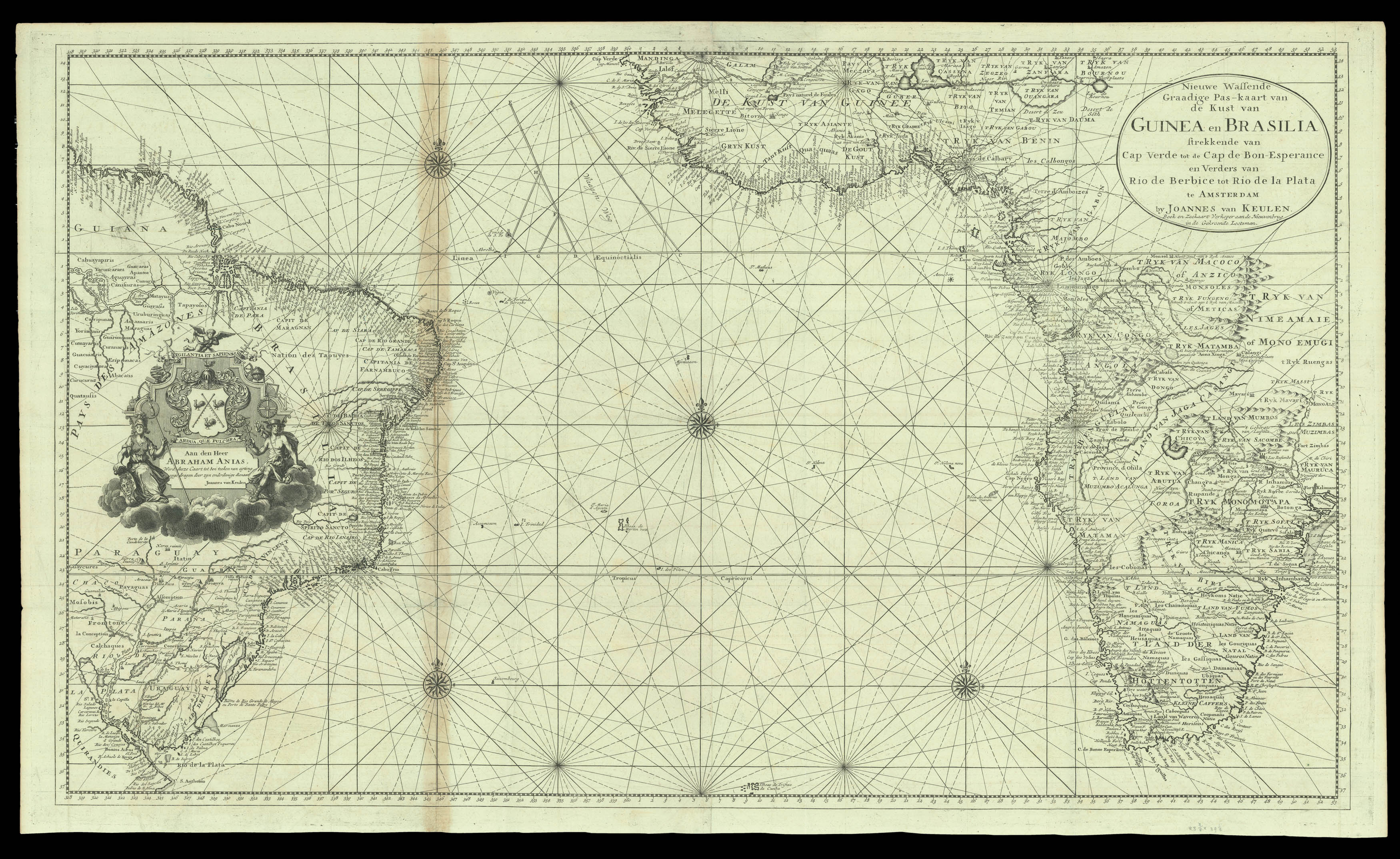
A chart of the Atlantic, Brazil and western Africa published by the van Keulen dynasty of chartmakers.
Johannes van Keulen was a successful chartmaker based in Amsterdam; after his death, his business was continued by his son Gerard and grandson Johannes II. Gerard and Johannes II acquired some charts from Johannes Loots at the beginning of the eighteenth century, of which this may be one. There are an unusual amount of inland details for a sea chart. The map car...
A chart of the Atlantic, Brazil and western Africa published by the van Keulen dynasty of chartmakers.
Johannes van Keulen was a successful chartmaker based in Amsterdam; after his death, his business was continued by his son Gerard and grandson Johannes II. Gerard and Johannes II acquired some charts from Johannes Loots at the beginning of the eighteenth century, of which this may be one. There are an unusual amount of inland details for a sea chart. The map carries a dedication to Abraham Anias, cartographer to the Dutch East Indies Company and stepson of Jacob Roggeveen, another well-known cartographer.