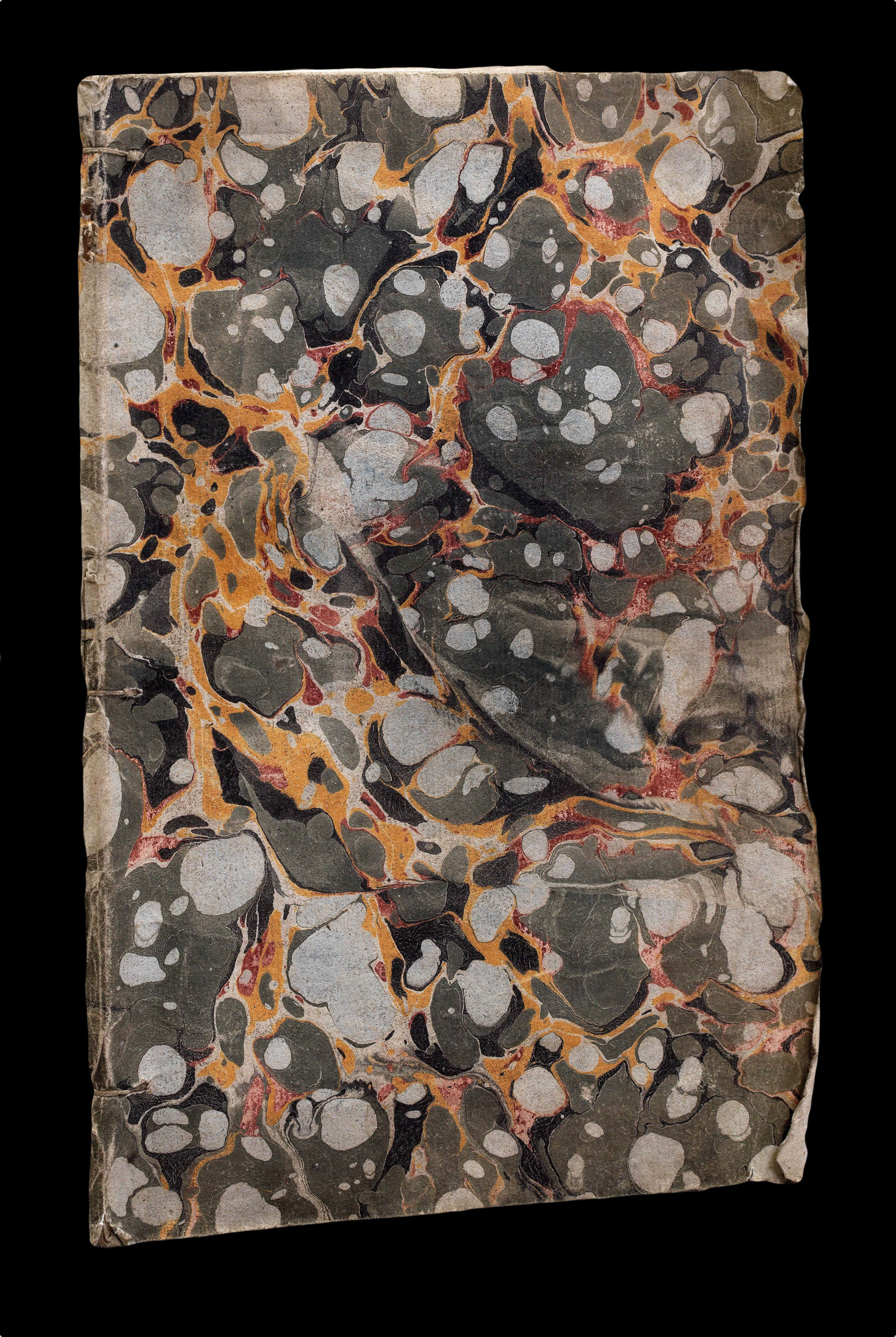
Catalogue des noms de villes, village, riviers,
provinces, nations, &c. Contents dans la carte de l'amerique septentrionale de Mitchel.
Paris,
Le Rouge,
1777
Quarto, title, advertisement, 36pp; original marbled paper wrappers, rubbed.
Collation: A-D4, E2.
Collation: A-D4, E2.
220 by 150mm. (8.75 by 6 inches).
17482
notes:
Rare index to accompany Le Rogue's copy of Mitchell's seminal map of America.
Mitchell's map is widely regarded as the most important map in American history. Prepared on the eve of the Seven Years' War (or French and Indian War), it was the second large format map of North America printed by the British (the first being Henry Popple's map of 1733), and included the most up to date information of the region: "the result of a uniquely successful solicitation of i...
Mitchell's map is widely regarded as the most important map in American history. Prepared on the eve of the Seven Years' War (or French and Indian War), it was the second large format map of North America printed by the British (the first being Henry Popple's map of 1733), and included the most up to date information of the region: "the result of a uniquely successful solicitation of i...
bibliography:
provenance:


