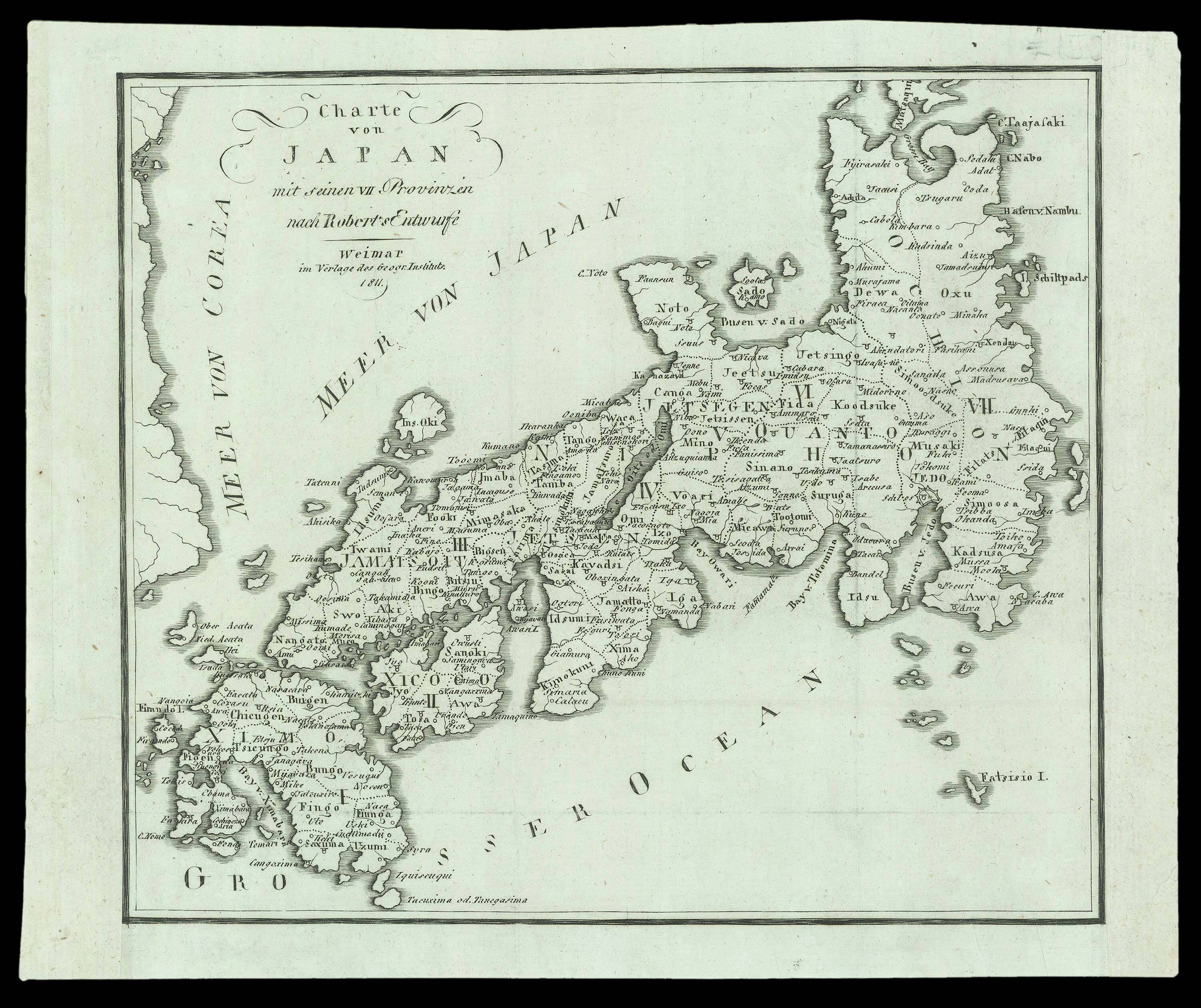
A map of Japan; a German reprint after Gilles Robert de Vaugondy, with the coast of Korea greatly simplified and an altered title cartouche. De Vaugondy's original was produced for the 'Atlas Universel'.
...
A map of Japan; a German reprint after Gilles Robert de Vaugondy, with the coast of Korea greatly simplified and an altered title cartouche. De Vaugondy's original was produced for the 'Atlas Universel'.