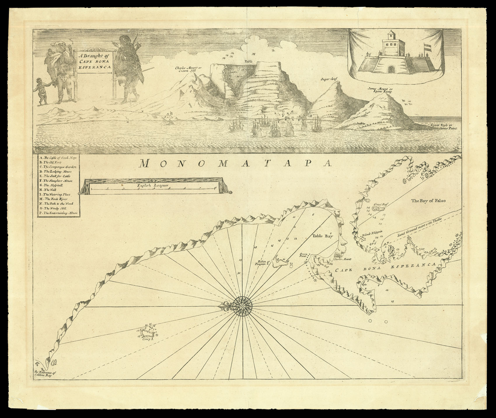
A Draught of Cape Bona Esperanca.
[London,
Samuel Thornton,
1734].
Engraved double-page engraved chart.
530 by 430mm. (20.75 by 17 inches).
12026
notes:
A rare milestone in the history of mapping of the Cape of Good Hope and its coastline. The chart was engraved by John Thornton and published in his 'English Pilot' up to 1711. In 1716, the pilot and the plates had been acquired by Thomas Mount and Richard Page who published the chart with little revision throughout the eighteenth century.
The prospect above the chart, of the early settlement, captures an important historical paradox: the English names of the mou...
The prospect above the chart, of the early settlement, captures an important historical paradox: the English names of the mou...
bibliography:
Tooley, p.101-4.
provenance:


