
Rare Maps

Rare Atlases

Rare Books

Rare Prints

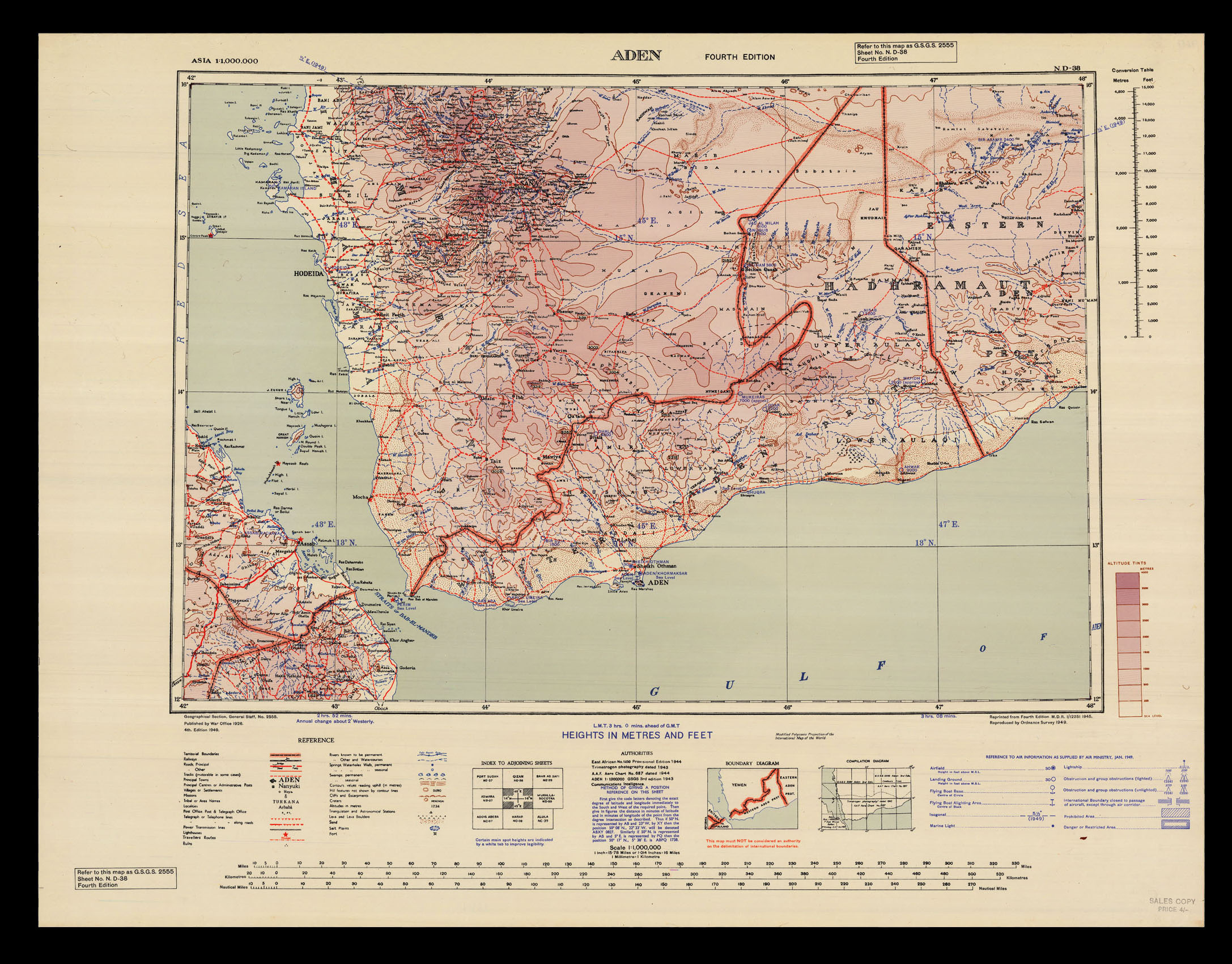
Colour printed lithographed map
notes:
Fourth edition, first printed by the War Office in 1946, based on previous maps, 'Aden' (1943) and 'East Africa' (1944) and aerial charts.
Lying at the southwestern corner of the Arabian Peninsula, the strategically important port of Aden controls the "choke point" between the Red Sea and the Indian Ocean. It was made a Crown Colony in its own right in 1937, and became the lynchpin of the of the Allied war effort in North Africa, which centred around which po...
bibliography:
provenance: