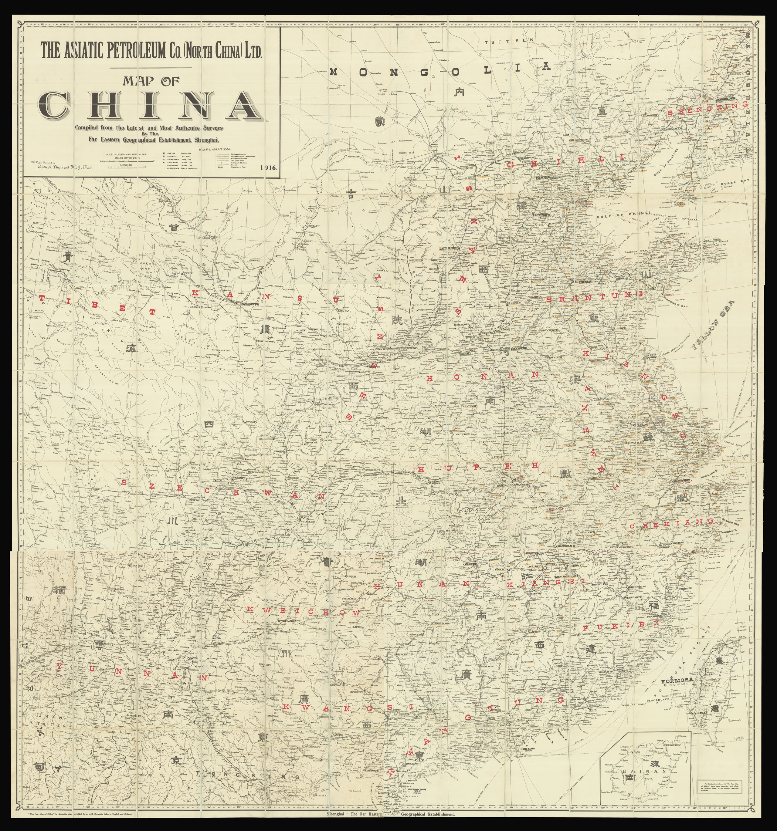
The Asiatic Petroleum Co. (North China), Ltd. Map of China
Compiled from the Latest and Most Authentic Surveys
Shanghai,
Far Eastern Geographical Establishment,
1916
Large folding map printed in black and red, six sections, each dissected into 18 (3 x 6) parts (560x790 mm), mounted on linen, enclosed in the original cloth case with printed title and paper label.
1700 by 1574mm. (67 by 62 inches).
16400
notes:
A rare and highly detailed commercial map of China, showing eleven provinces, covering north to south from Shenking (Shenyang) to Kwangtung (Guangdong), west to east from Tibet to Kiangsu (Jiangsu). Names of the provinces are labelled in both Chinese and English in black and red respectively.
1. Title
2. Shenking, Chihli (Zhili),
3. Tibet, Szechuen (Sichuan)
4. Shantung (Shandong), Kiangsu (Jiangsu), Chekiang (Zhejiang)
5. Kweichow (Guizhou)...
1. Title
2. Shenking, Chihli (Zhili),
3. Tibet, Szechuen (Sichuan)
4. Shantung (Shandong), Kiangsu (Jiangsu), Chekiang (Zhejiang)
5. Kweichow (Guizhou)...
bibliography:
provenance:


