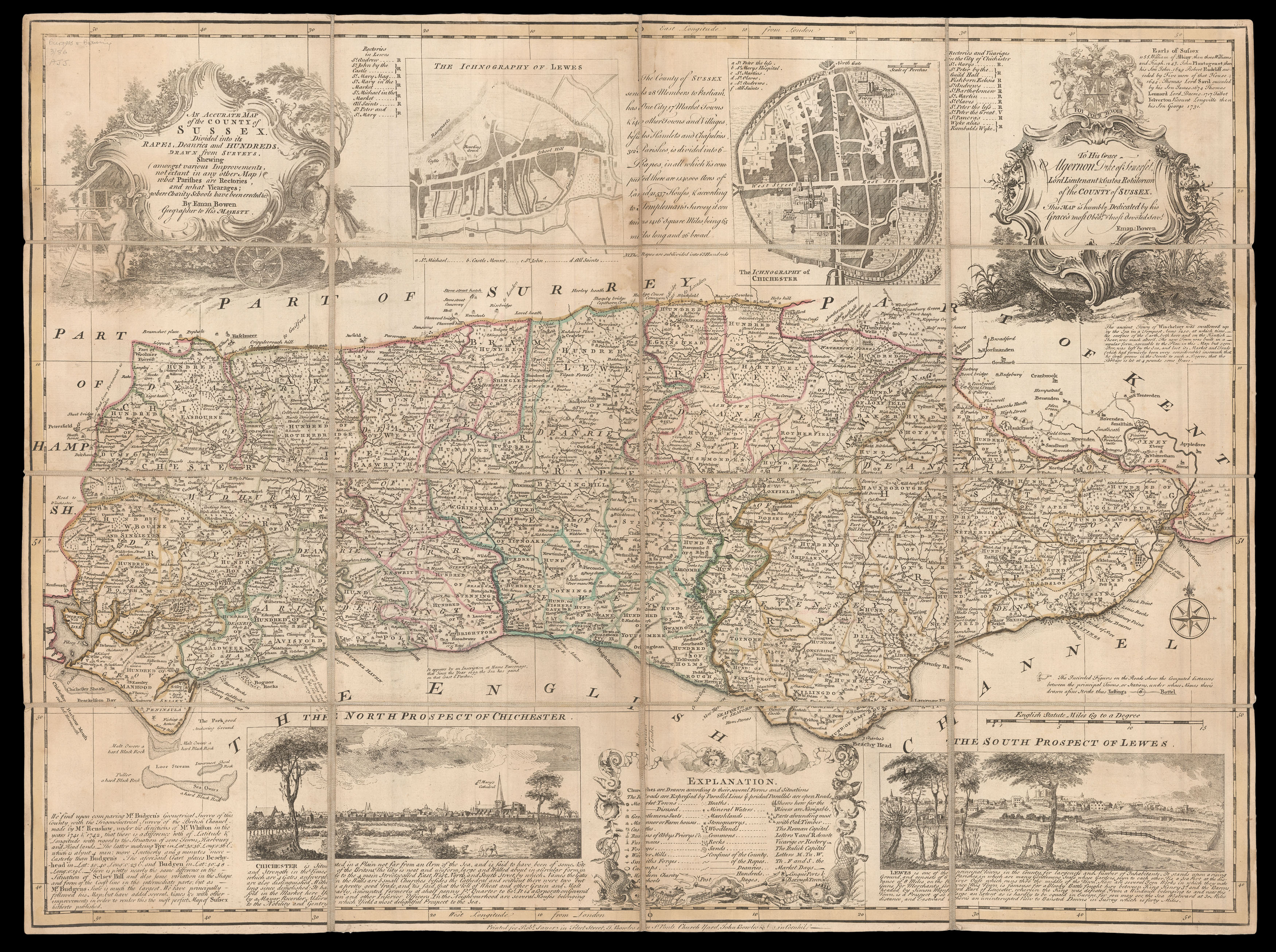
An Accurate Map of the County of Sussex.
Divided into its Rapes, Deaneries and Hundreds. Drawn from Surveys. Shewing (Amongst various Improvements, not extant in any other Map) what Parishes are Rectories and what Vicarages; where Charity Schools have been erected &c.
[London],
Printed for Rob.t Sayer in Fleet Street, T. Bowles in St. Pauls Church Yard, John Bowles in Cornhill,
[c1763]
Engraved map, hand-coloured in outline, dissected and mounted on linen, folding into original red marbled paper slipcase, with printed label.
520 by 710mm. (20.5 by 28 inches).
18103
notes:
Emanuel Bowen's (1694-1767) county map of Sussex is based on Philip Overton and Thomas Bowles's c1726 map of the County, in turn a reduction of Budgen's large-scale map first published in 1724 - the first large-scale map of the county. The current map was printed many times, including in 1749 by Robert Sayer and John Bowles, and again by Robert Sayer, Thomas Bowles & John Bowles, in about 1763. It includes three inset vignettes: 'The Iconography of Chichester', 'The North P...
bibliography:
provenance:


