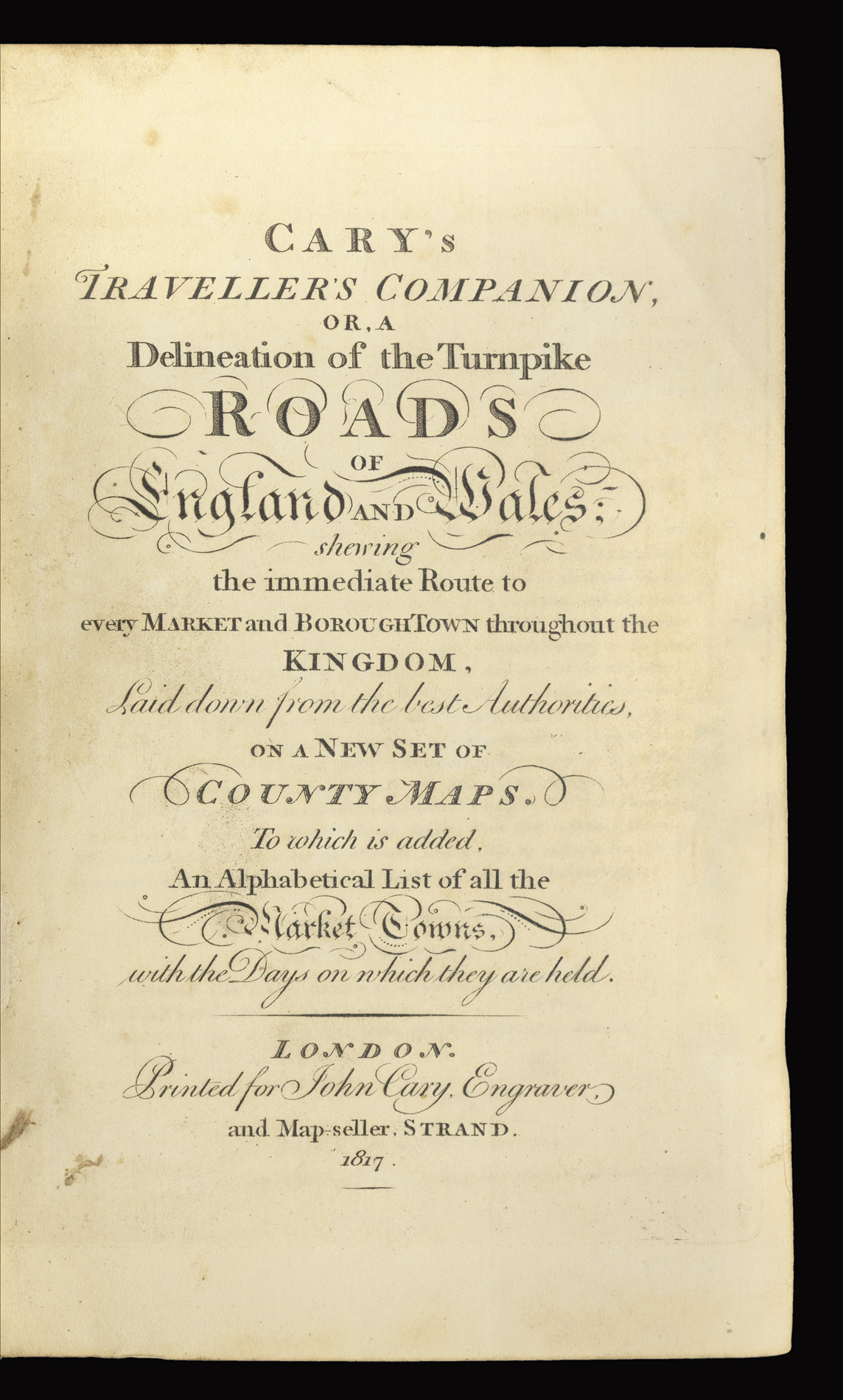
Printed for John Cary Engraver, and Map-seller Strand,
1817
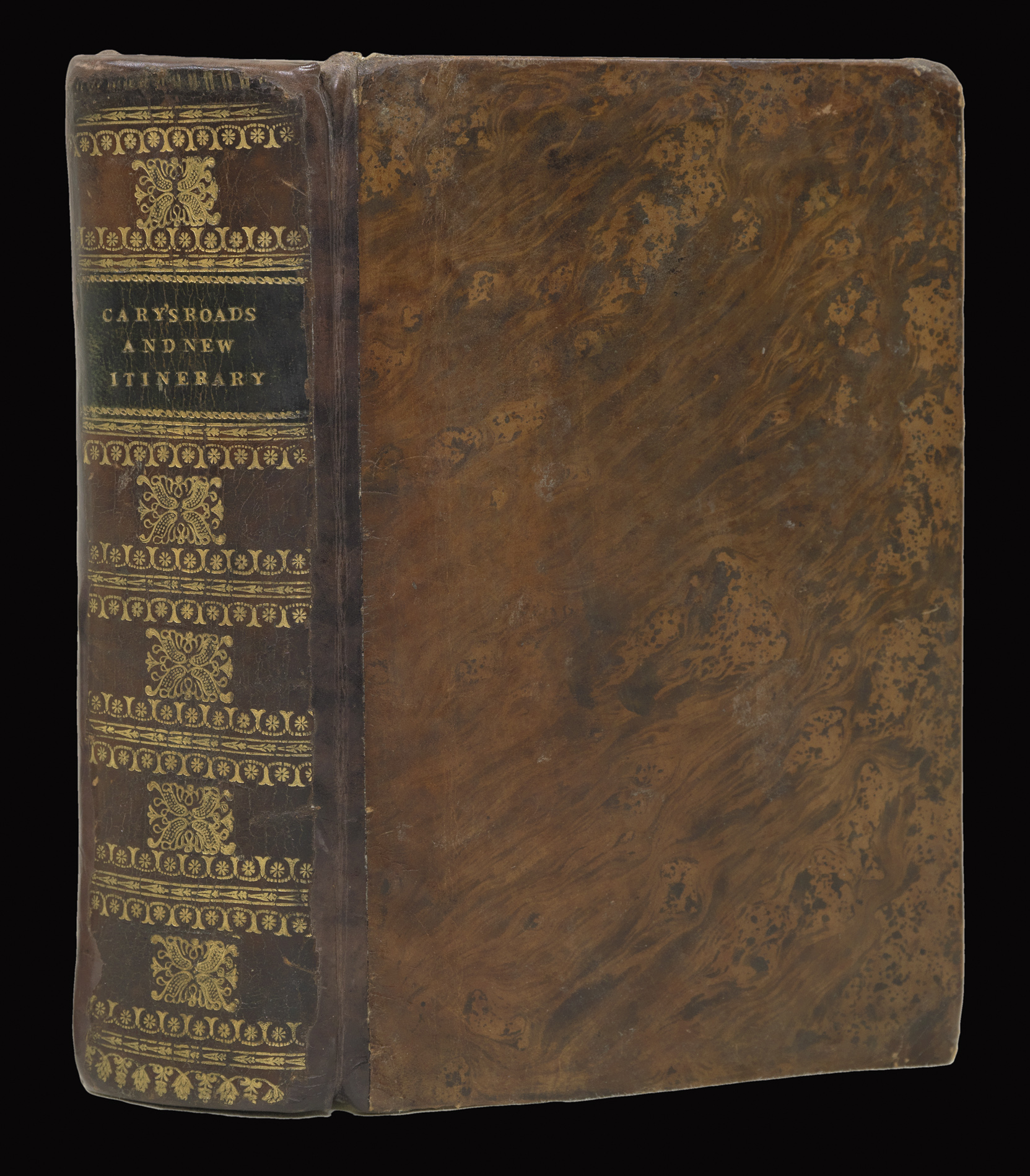
Small 4to (115 by 180mm), two works in one volume, title, 43 engraved maps (map of Yorkshire folding), original outline hand-colour [bound with] Seventh edition, title, folding map of the British Isles, three advertisement leaves, contents, 20 leaves of index, 123pp. distance tables, one leaf index of rivers, 6 leaves listing cross roads, 26 leaf "Coaching Directory", and six folding maps, 950pp. "Itinerary", table of postage rates, and two advertisement leaves at end, all with fine original hand-colour, map of England tightly bound with tear, contemporary tree calf, re-backed preserving original spine.
This is the smallest of the three county atlases produced by John Cary, and was described by him as being an abridgement of the 'New and Correct Atlas' of 1787. According to Chubb this is the seventh edition of the atlas, here bound together with the seventh edition of Cary's Itinerary.
...
This is the smallest of the three county atlases produced by John Cary, and was described by him as being an abridgement of the 'New and Correct Atlas' of 1787. According to Chubb this is the seventh edition of the atlas, here bound together with the seventh edition of Cary's Itinerary.