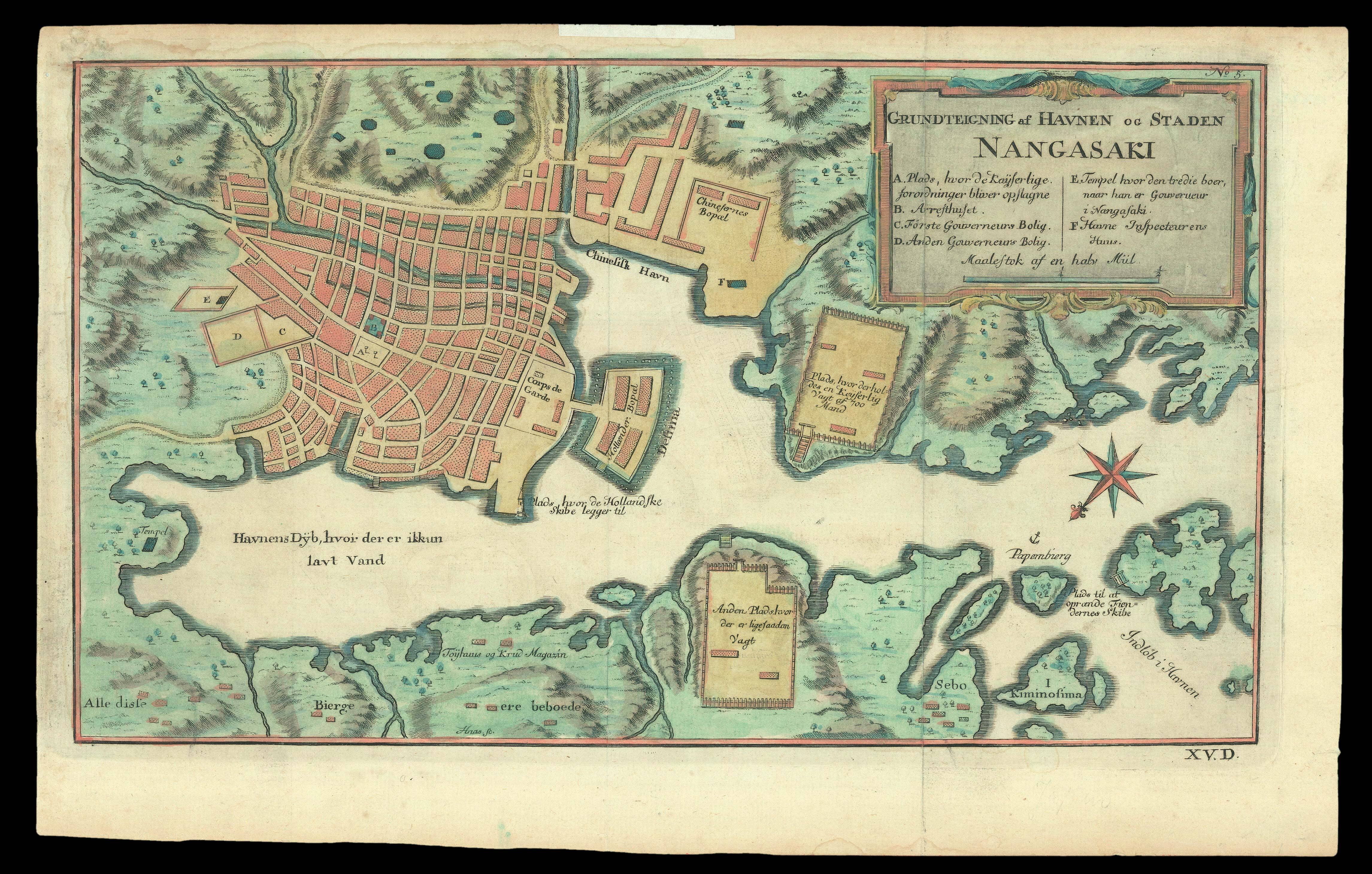
A plan of Nagasaki from a Danish edition of the Abbé Prévost's travel book, the 'Histoire Generale des Voyages'.
The maps for the 'Histoire' were produced by Jacques Nicolas Bellin. They were re-engraved for the Danish edition; this plan was possibly engraved by Jonas Haas, who also engraved the map of Japan.
...
A plan of Nagasaki from a Danish edition of the Abbé Prévost's travel book, the 'Histoire Generale des Voyages'.
The maps for the 'Histoire' were produced by Jacques Nicolas Bellin. They were re-engraved for the Danish edition; this plan was possibly engraved by Jonas Haas, who also engraved the map of Japan.