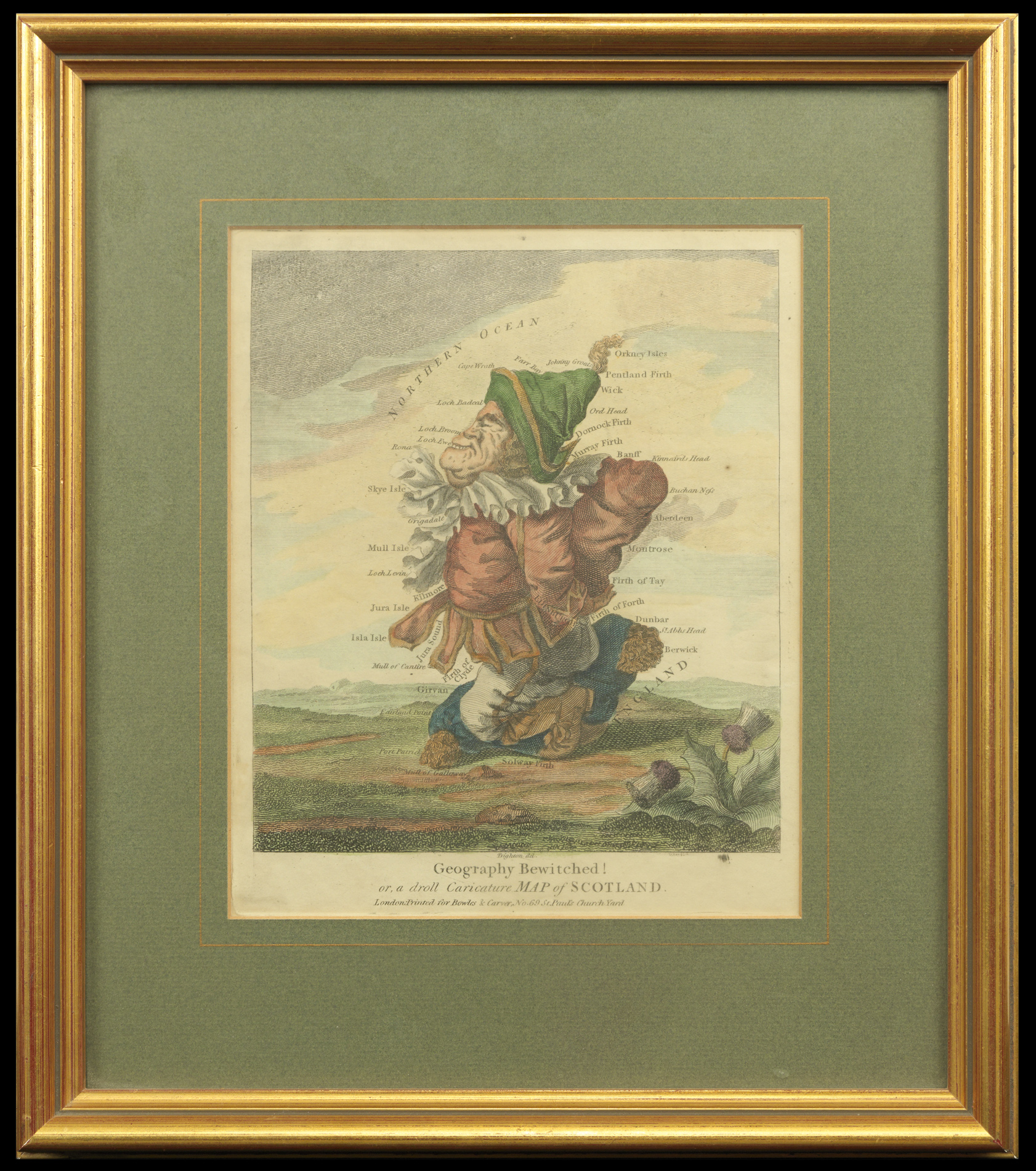
Geography Bewitched! Or a Droll caricature of Map of Scotland.
London,
Printed for Bowles & Carver, No.69 St. Paul's Church Yard,
[c1795].
Hand-coloured engraved caricature map.
170 by 210mm (6.75 by 8.25 inches).
1364
notes:
This humorous map is part of the series of cartographic caricatures - including England and Wales, and Ireland - which Robert Deighton produced in the late eighteenth century. It depicts Scotland as a merry gent, who sits on a wool sack carrying a tartan sack over his shoulder. To the bottom right is a thistle, the national symbol of Scotland.
The map like much of Dighton's caricatures would be published as a print by Carrington Bowles (fl.1752-1793). Carington...
The map like much of Dighton's caricatures would be published as a print by Carrington Bowles (fl.1752-1793). Carington...
bibliography:
provenance:


