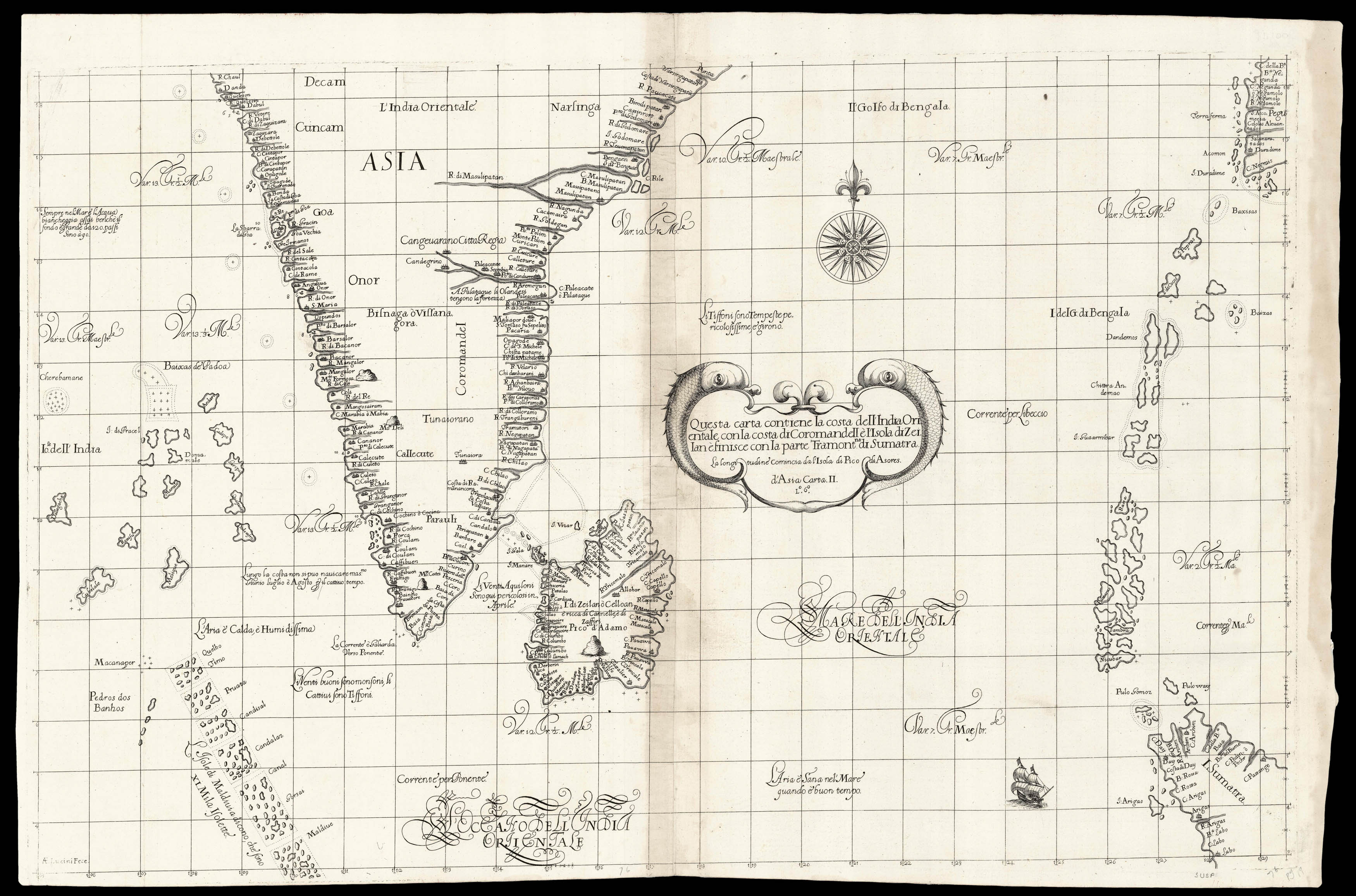
Questa carta contiene la costa dell' India Orientale
con La costa di Coromandell e L'Isola di Zeilan e finisce con la parte Tramontna di Sumatra
Florence,
Giuseppe Cocchini,
1661
Engraved chart.
515 by 785mm. (20.25 by 31 inches).
15796
notes:
A chart showing the southern coast of India and the island of Sri Lanka. The Maldives, the Andobar Islands and the Nicobar Islands all appear in the Indian Ocean. Sumatra and Myanmar are partially visible.
From the 'Arcano del Mare', one the "greatest atlases of the world" (Wardington). First published in 1646 when its author, Robert Dudley, was 73, it was not only the first sea atlas of the world, but also the first to use Mercator's projection; the earliest to ...
From the 'Arcano del Mare', one the "greatest atlases of the world" (Wardington). First published in 1646 when its author, Robert Dudley, was 73, it was not only the first sea atlas of the world, but also the first to use Mercator's projection; the earliest to ...
bibliography:
Lord Wardington, 'Sir Robert Dudley and the Arcano del Mare', The Book Collector 52 (2003), pp.199-211.
provenance:


