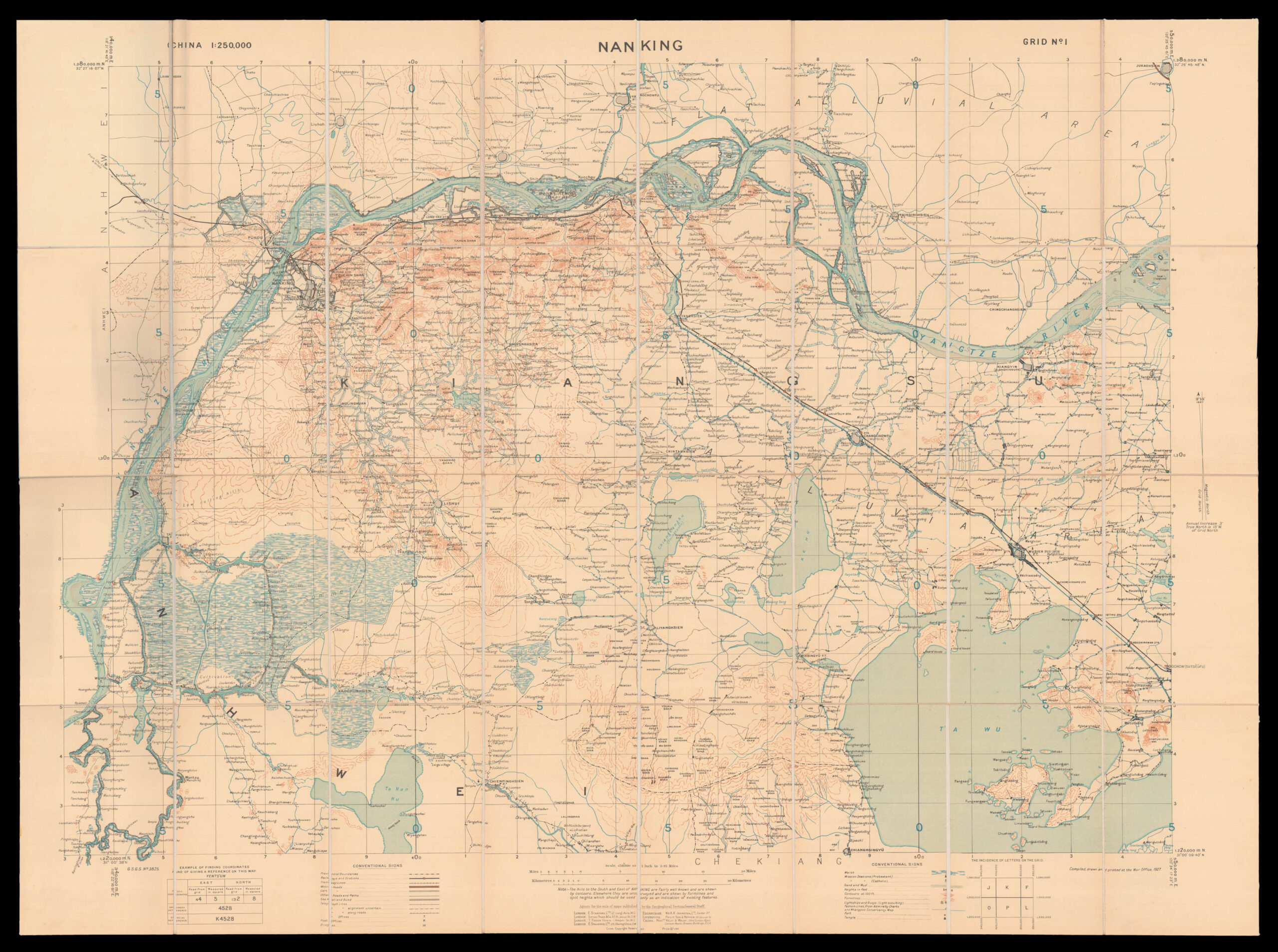
Nanking in 1927 was a treaty port located on the southern shores of the Yangtze River. Because the foreign interests in China were largely American and European, squadrons of foreign naval vessels were stationed along the Yangtze to protect their citizens doing business at the treaty ports. The British Royal Navy operated the China Station under Rear Admiral Sir Reginald Tyrwhitt and the United States Navy the Yangtze Patrol; both lasted for around 80 years until World War ...
Nanking in 1927 was a treaty port located on the southern shores of the Yangtze River. Because the foreign interests in China were largely American and European, squadrons of foreign naval vessels were stationed along the Yangtze to protect their citizens doing business at the treaty ports. The British Royal Navy operated the China Station under Rear Admiral Sir Reginald Tyrwhitt and the United States Navy the Yangtze Patrol; both lasted for around 80 years until World War II.