Published, By the Proprietors, Greenwood, Pringle and Co. 13, Regent Street, Pall Mall,
August 21st, 1827.
Large engraved map on six sheets, dissected and mounted on linen, fine original outline hand-colour, housed with green morocco pull-off slipcase, lettered in gilt to spine.
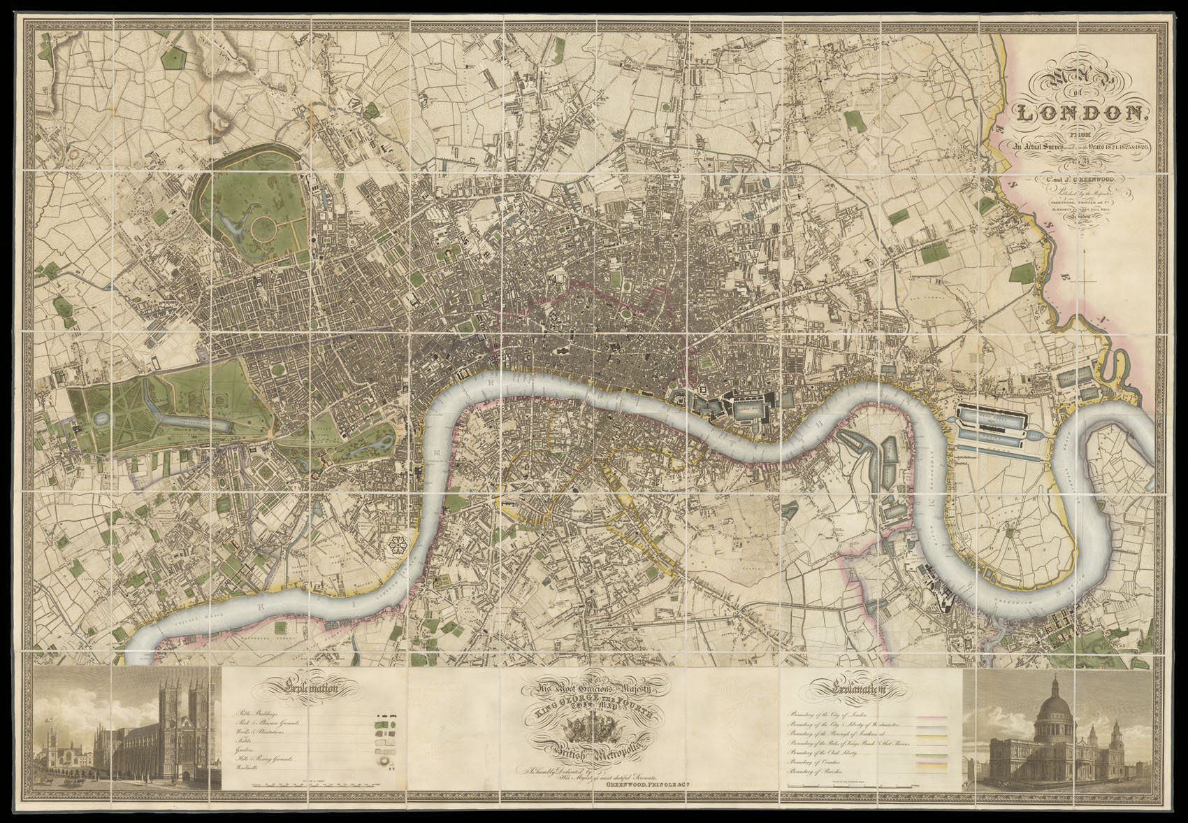
Christopher and John Greenwood state in the title that the plan was made from an "Actual Survey", which had taken three years. Plans at the time were often copied from older surveys, or re-issued with minor updating; so conducting a new survey was indeed something to boast about. The plan, which was finely engraved by James and Josiah Neele, is stylistically similar to the Ordnance Survey maps of the time, although it was engraved on a much larger scale of 8 inches to the m...
Christopher and John Greenwood state in the title that the plan was made from an "Actual Survey", which had taken three years. Plans at the time were often copied from older surveys, or re-issued with minor updating; so conducting a new survey was indeed something to boast about. The plan, which was finely engraved by James and Josiah Neele, is stylistically similar to the Ordnance Survey maps of the time, although it was engraved on a much larger scale of 8 inches to the mile, compared to the OS one inch to the mile. It includes detailed depictions of streets, houses, public buildings, parks, squares, woods, plantations, rivers, hills, windmills; also the marking of the boundaries of the City of London, Westminster, Southwark, Rules of the King's Bench & Fleet Prison, Clink Liberty, counties and parishes. Below the plan is a dedication to George IV, which is flanked by views of Westminster Abbey and St Paul's Cathedral.
 First edition
1 × £1,500
First edition
1 × £1,500![HOLLAR, W[enceslaus] [after Peter Paul RUBENS] Peter Paul Rubens](https://omega.crouchrarebooks.com/wp-content/uploads/2025/03/18246_1H.jpg) Rubens by Hollar
1 × £400
Rubens by Hollar
1 × £400![[HONDIUS, Colette] [Mercator Hondius Double Portrait] Gerardus Mercator natus Rupelmundae III non Martii anno CDDXII: visit ann. LXXXII. M. VIII. D. XXVI: denatus IV non. Decembris anno CDDXCIV. Iudocus Hondius natus in pago Flandriae dicto Wackene XVI Kalen Novembris anno CDDLXIII: vixit ann. XLVII. M. VII. D. XXIX: denatus XIV Kal. Martii anoo CDDCXII.](https://omega.crouchrarebooks.com/wp-content/uploads/2025/03/12525_1H.jpg) The celebrated double-portrait of Gerard Mercator and Jodocus Hondius
1 × £2,500
The celebrated double-portrait of Gerard Mercator and Jodocus Hondius
1 × £2,500 An innovative globe
1 × £3,000
An innovative globe
1 × £3,000![HOLLAR, W[enceslaus] [after] Ant[hony] van DYCK Carolus II DG Magna Brittania Fra et Hibernia Rex](https://omega.crouchrarebooks.com/wp-content/uploads/2025/03/18289_1H.jpg) The young Charles II
1 × £400
The young Charles II
1 × £400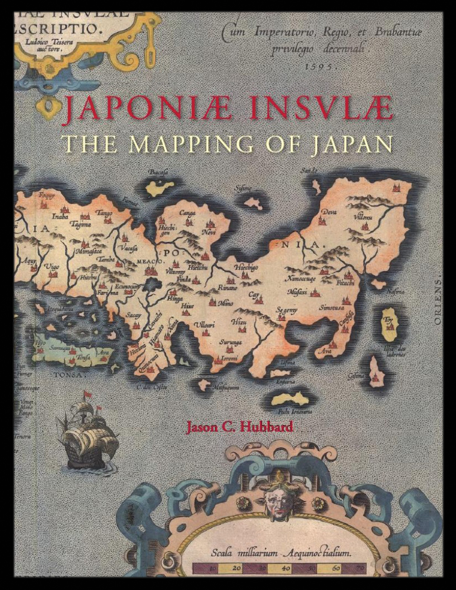 Hubbard's cartobibliography of Japan
1 × £159
Hubbard's cartobibliography of Japan
1 × £159![AUDINET, P[hilip] after COOPER, B. West View of Temple Bar](https://omega.crouchrarebooks.com/wp-content/uploads/2025/03/12369_1H.jpg) Temple Bar
1 × £450
Temple Bar
1 × £450