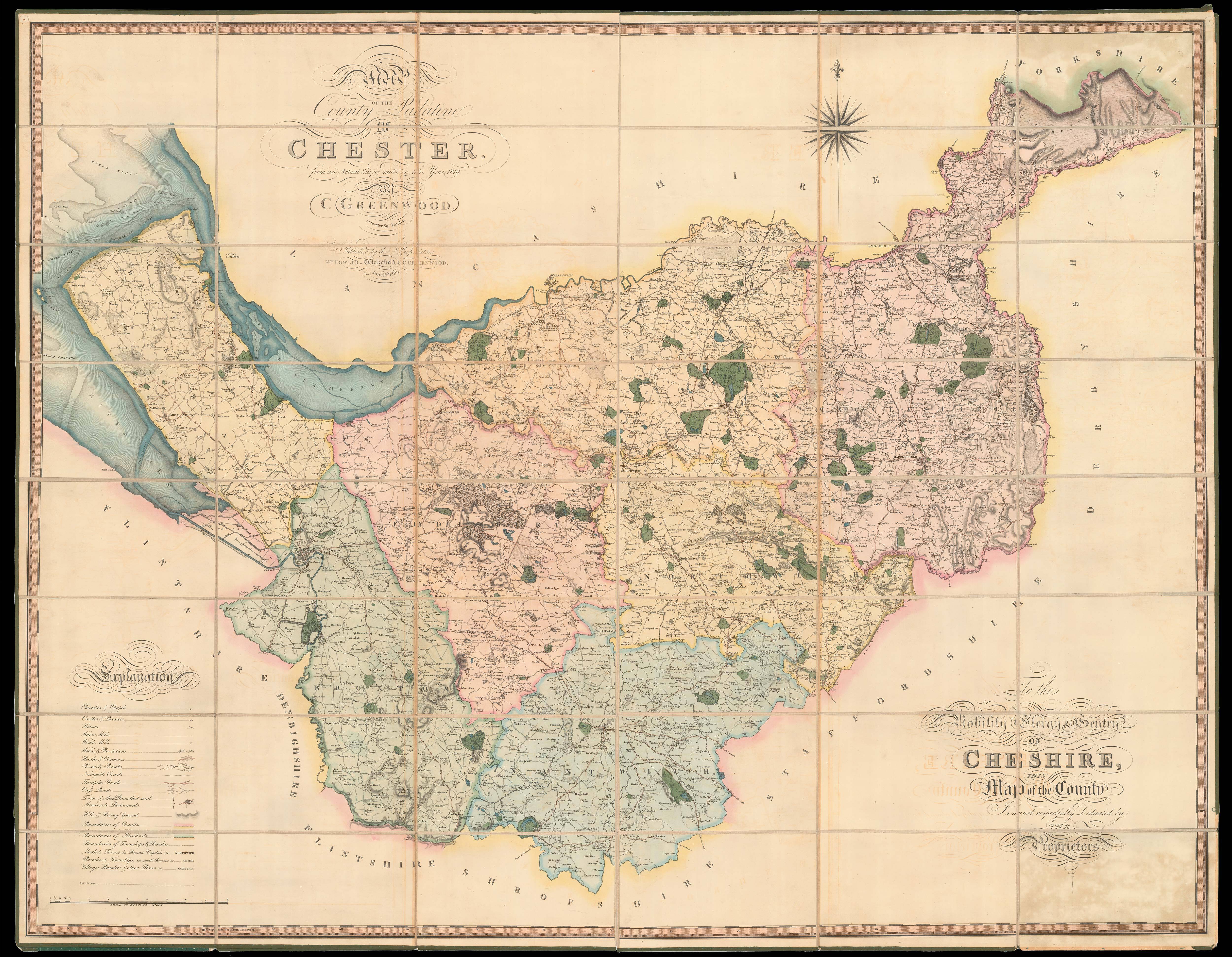
Map of the County Palatine of Chester
from an actual Survey made in 1819. By C. Greenwood, Leicester Square, London.
London,
W[illia]m Fowler & C. Greenwood,
June 15th, 1819.
Large engraved map on four sheets, dissected and mounted on linen, fine original full-wash colour, edged in green silk, housed in original blue pull-off slipcase.
1203 by 1550mm. (47.25 by 61 inches).
14822
notes:
The maps by Christopher and John Greenwood set new standards for large-scale surveys. Although they were unsuccessful in their stated aim to map all the counties of England and Wales it is probably no coincidence that of the ones they missed, Buckinghamshire, Cambridgeshire, Herefordshire, Hertfordshire, Norfolk and Oxfordshire, all except Cambridgeshire were mapped by Andrew Bryant in a similar style and at the same period. From a technical point of view the Greenwoods' pr...
bibliography:
provenance:


