This map of Palestine was based upon maps by Petrus Vesconte, published by Marino Sanuto in c.1320.
"The map is orientated to the east, and shows the whole of Palestine on both sides of the Jordan divided into the 12 Tribes. The shore line runs from Sidon to Gaza. South of a fantasy Carmel Mountain there is a big island, called the Castle of the Pilgrims (Atlit of today), and a similar but smaller island north of Jaffa called Assur. The Carmel Mountain is missha...
This map of Palestine was based upon maps by Petrus Vesconte, published by Marino Sanuto in c.1320.
"The map is orientated to the east, and shows the whole of Palestine on both sides of the Jordan divided into the 12 Tribes. The shore line runs from Sidon to Gaza. South of a fantasy Carmel Mountain there is a big island, called the Castle of the Pilgrims (Atlit of today), and a similar but smaller island north of Jaffa called Assur. The Carmel Mountain is misshapen. The Jordan River in its wide meanderings is shown as a thin line" (Laor).
The map was published in the first atlas printed outside Italy and the first atlas illustrated with woodcut maps.
In 1482 Lienhart Holle in Ulm published a revised edition of Ptolemy's Geographia with the reworking of the Ptolemaic corpus by the cartographer Nicolaus Germanus Donis. The atlas included five additional "modern" maps: Italy, Spain, France, Scandinavia, and the Holy Land. The atlas would be the first book printed by Lienhart Holle, however, it would appear that the venture proved ruinously expensive and his business would go bankrupt shortly after publication. The remaining sheets, the woodblocks and the types passed to Johann Reger in Ulm, who reissued the work in 1486.
As well as the modern maps the atlas bears some other notable first. It was the first time that maps were signed by the artist responsible for the woodcutting; in this case Johannes of Armsheim, who signed the world map, and incorporated a backwards N into the woodcut text on each map. It is also the first to print the accompanying text on the verso of the map to which it refers. Another important feature of the Ulm editions is the introduction of the publisher's colouring upon the maps. Maps from 1482 usually have a rich blue colour in the sea which was replaced with a soft brown colour in 1486.
bibliography:
bibliography:
Camptell, T., 'Earliest Printed Maps', p. 179-210; Schreiber 5032; Skelton, R.A., Bibliographical note prefixed to the facsimile of the 1482 Ulm Ptolemy; Laor 603.
![[ANONYMOUS after GEELKERCKEN, Nicoalas van] Orbis Terrarum Tipus de Integro Multis in Locis Emendatus](https://omega.crouchrarebooks.com/wp-content/uploads/2025/02/20587_1H-scaled.jpg) An Italian Pirate
1 × £55,000
An Italian Pirate
1 × £55,000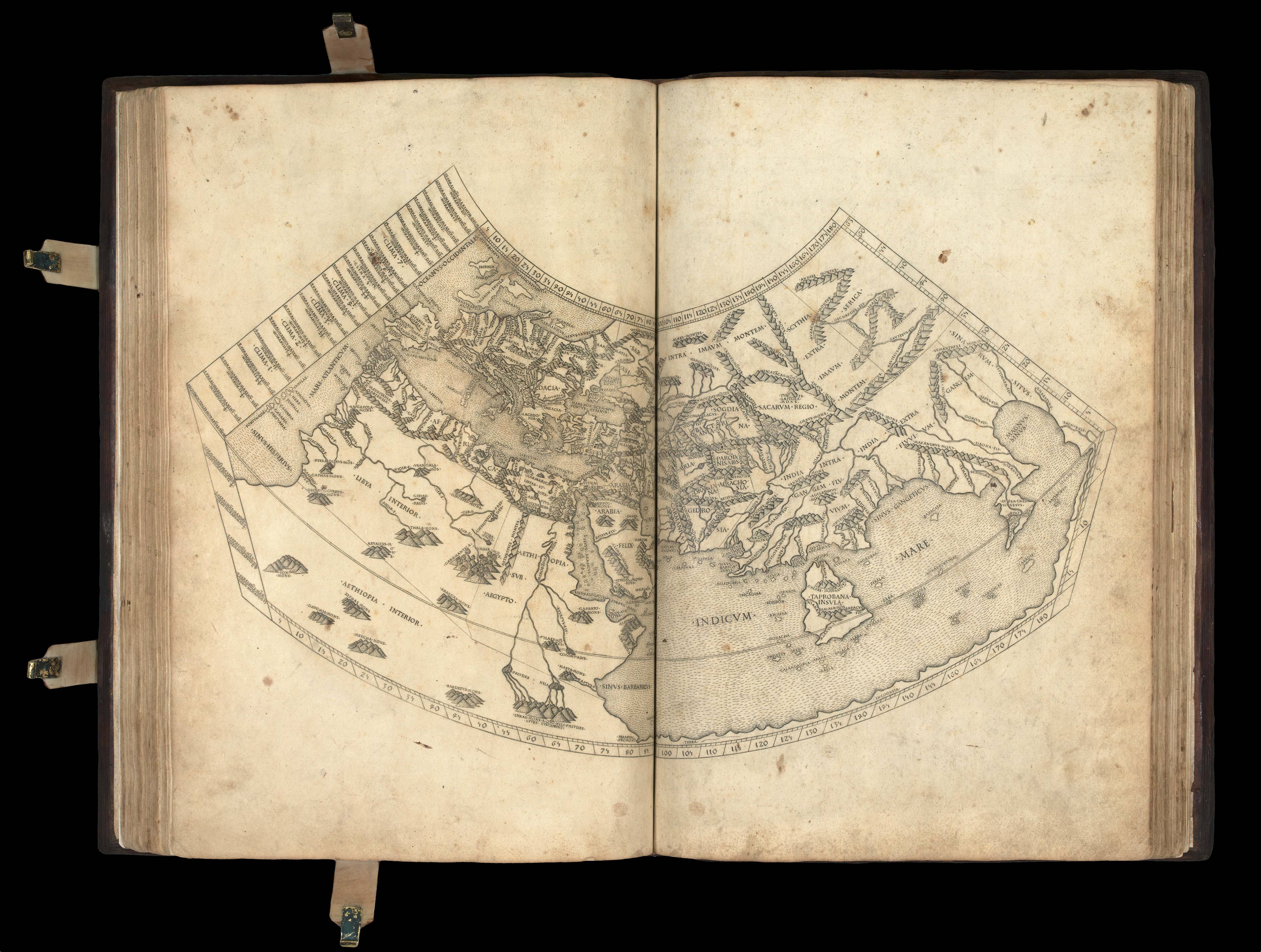 Ptolemy's first projection, with the "finest Ptolemaic plates produced until Gerard Mercator"
1 × £300,000
Ptolemy's first projection, with the "finest Ptolemaic plates produced until Gerard Mercator"
1 × £300,000 The first sea pilot printed in English
1 × £195,000
The first sea pilot printed in English
1 × £195,000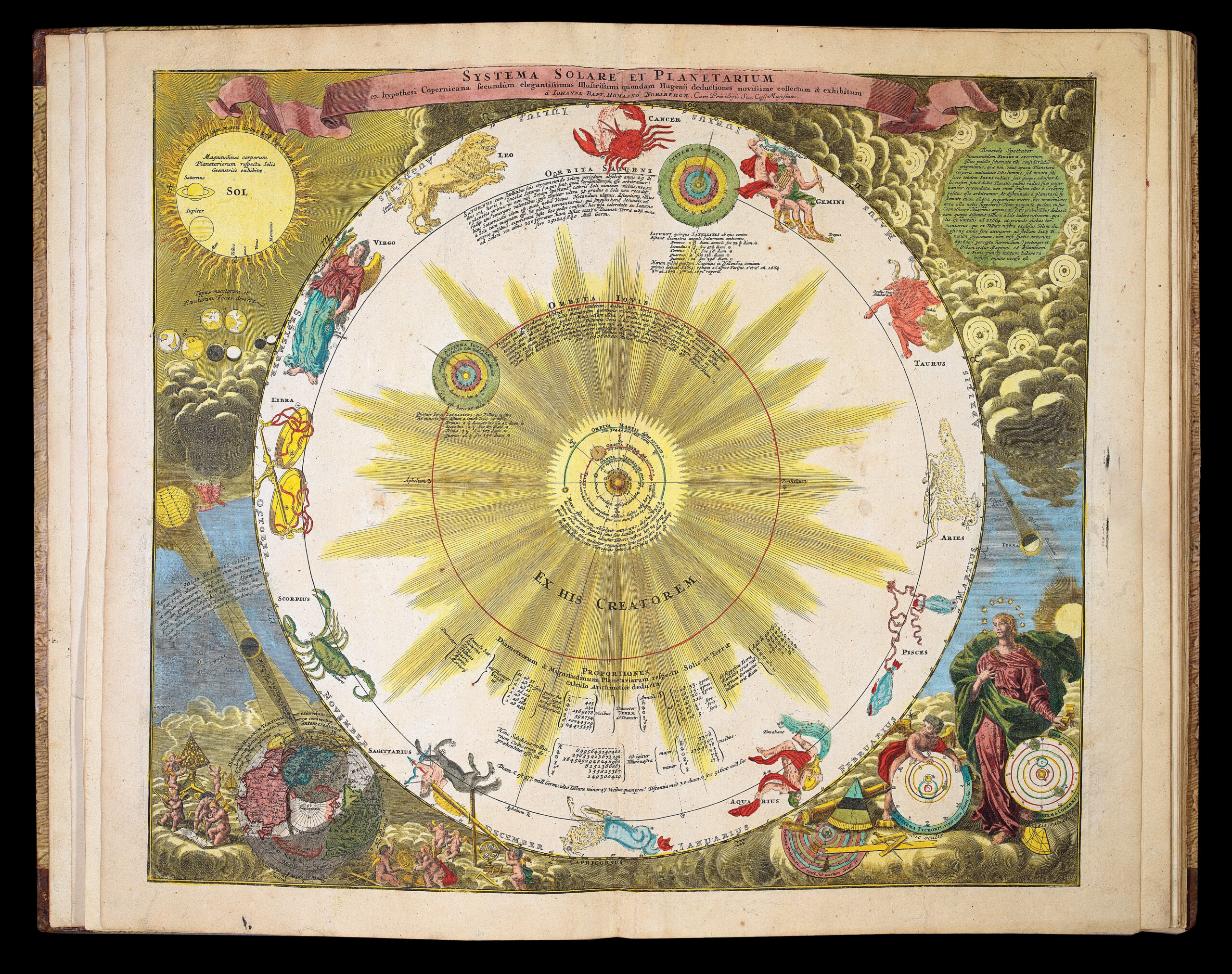 An encyclopedic atlas of everything astronomical
1 × £32,000
An encyclopedic atlas of everything astronomical
1 × £32,000


![PTOLEMAEUS, Claudius [translated by ANGELUS, Jacobus, edited by GERMANUS, Nicolaus] Tabula Moderna Terre Sancte.](https://omega.crouchrarebooks.com/wp-content/uploads/2025/03/2095_1H.jpg)