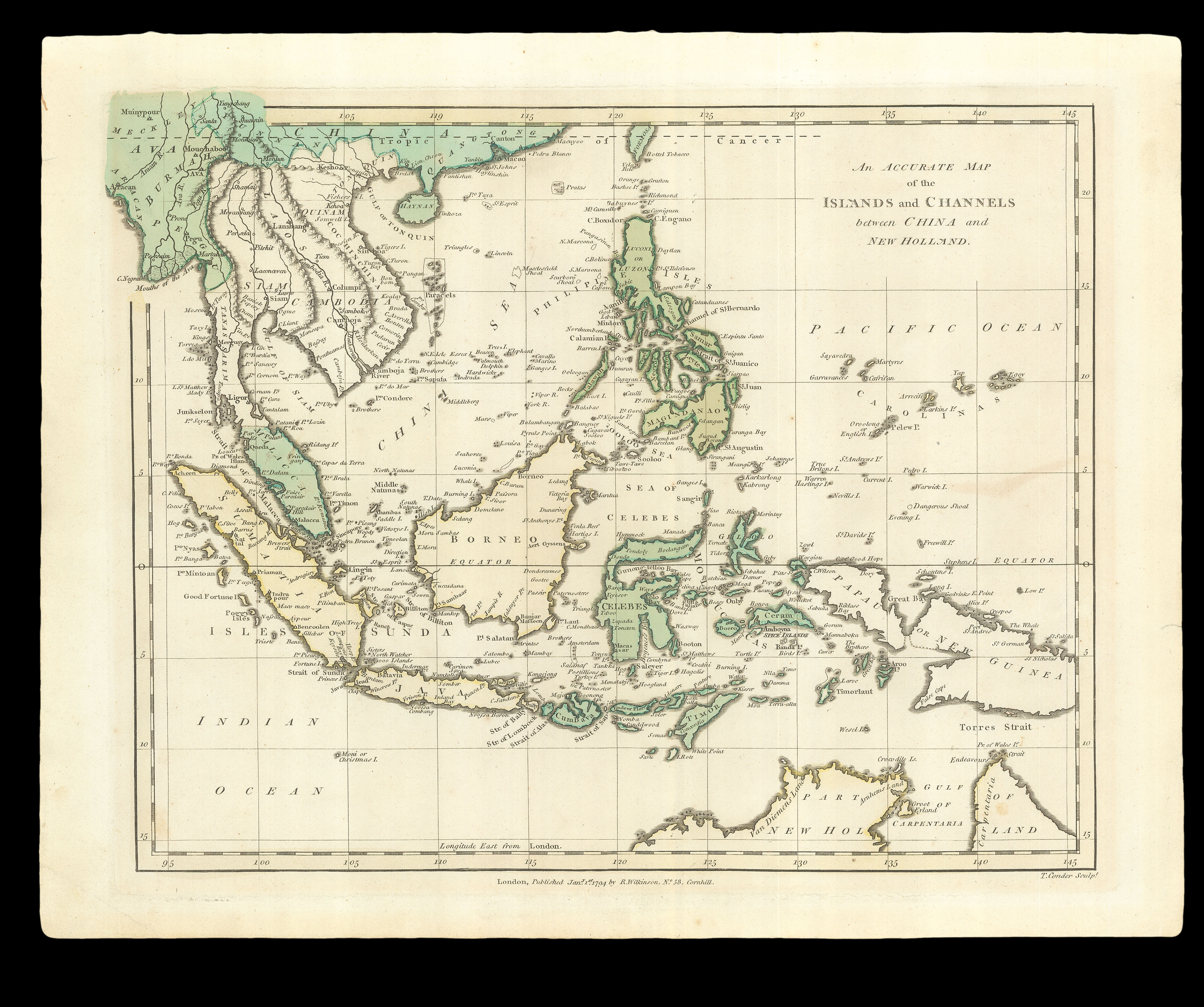
A relatively accurate map of Southeast Asia, including the Malay Peninsula, Cambodia, the Philippines, all of Indonesia, and the Spice Islands, with part of the northern coastline of Australia.
The mapmaker Robert Wilkinson (c1768-1825) was successor to the Bowles firm, and published his own 'Atlas classica' in 1797, containing 46 maps of countries and regions discussed in ancient literature, both scriptural and secular. Wilkinson published a range of maps b...
A relatively accurate map of Southeast Asia, including the Malay Peninsula, Cambodia, the Philippines, all of Indonesia, and the Spice Islands, with part of the northern coastline of Australia.
The mapmaker Robert Wilkinson (c1768-1825) was successor to the Bowles firm, and published his own 'Atlas classica' in 1797, containing 46 maps of countries and regions discussed in ancient literature, both scriptural and secular. Wilkinson published a range of maps by his predecessors, being content to reuse the existing plate stock with little interest in improving it.