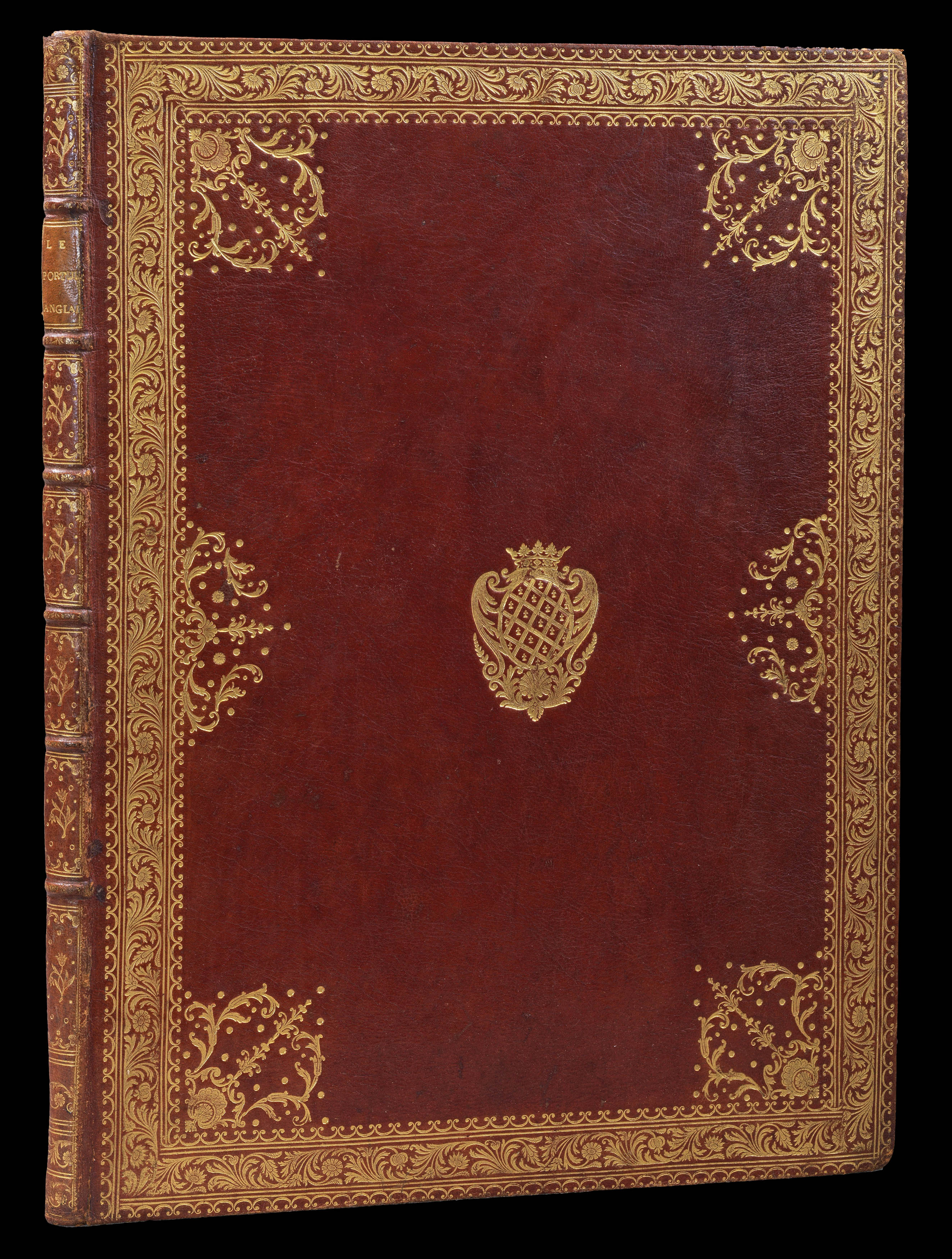
Folio (492 by 360mm), letterpress title and contents list, and nineteen engraved charts (all but one double-page), full red morocco, gilt fillet border, coat-of-arms of The Neuville family, spine in six compartments separated by raised bands, lavishly gilt, title lettered in gilt to spine.
Greenville Collins' work was not only the first systematic survey of British coastal waters, but also the first marine atlas of these waters engraved and printed in London from original surveys. Prior to its appearance, English sailors relied on often out-dated Dutch materials. The survey was carried out between 1681 and 1688, beginning with the south coast, and covering all of the British coasts except western Ireland and western Scotland. Although the complete atlas appea...
Greenville Collins' work was not only the first systematic survey of British coastal waters, but also the first marine atlas of these waters engraved and printed in London from original surveys. Prior to its appearance, English sailors relied on often out-dated Dutch materials. The survey was carried out between 1681 and 1688, beginning with the south coast, and covering all of the British coasts except western Ireland and western Scotland. Although the complete atlas appeared in 1693, some charts had been available for sale as separate sheets sometime between 1689 and 1693.
Whilst the atlas proved popular, a subsequent edition was not published until 1723, by which time the plates and text had been acquired by the firm of Mount and Page. The firm would go onto publish some 20 editions between 1723 and 1793, with little or no revision to the charts.
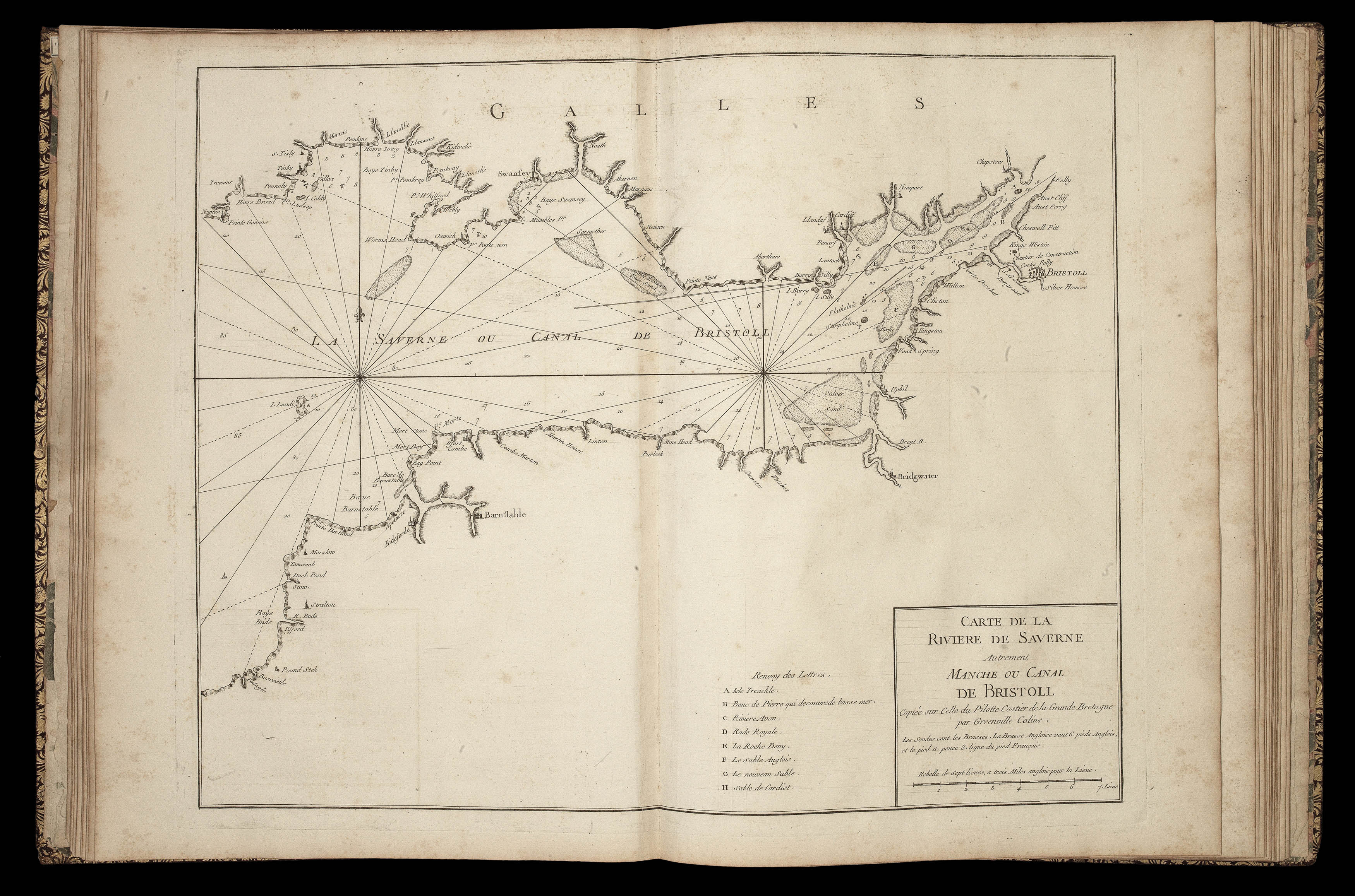
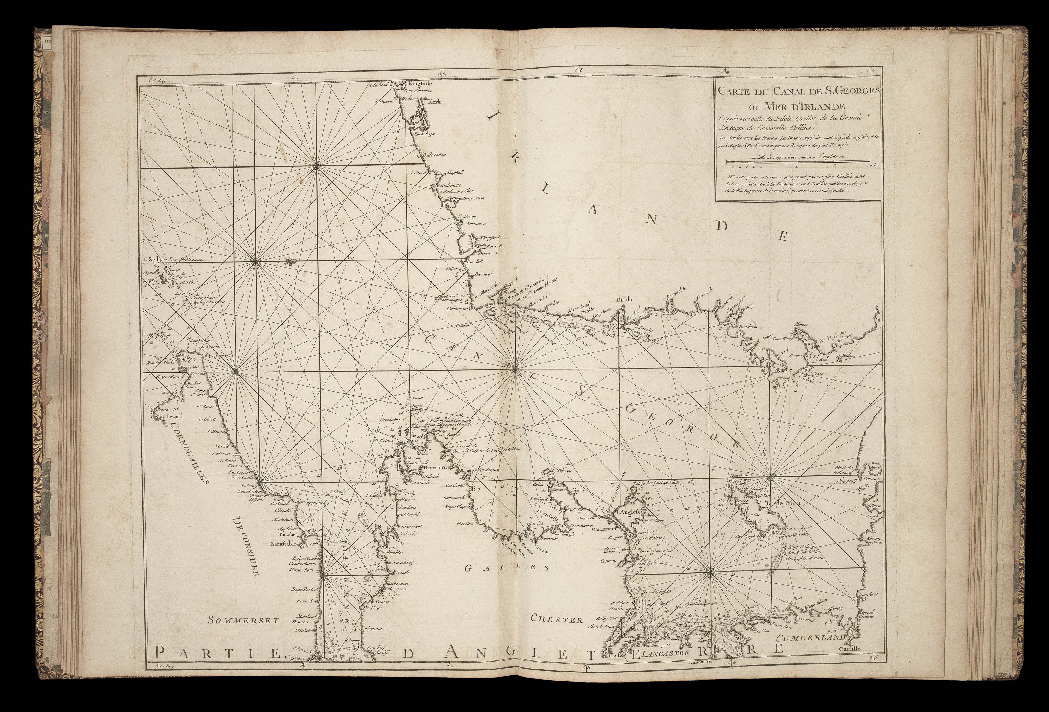
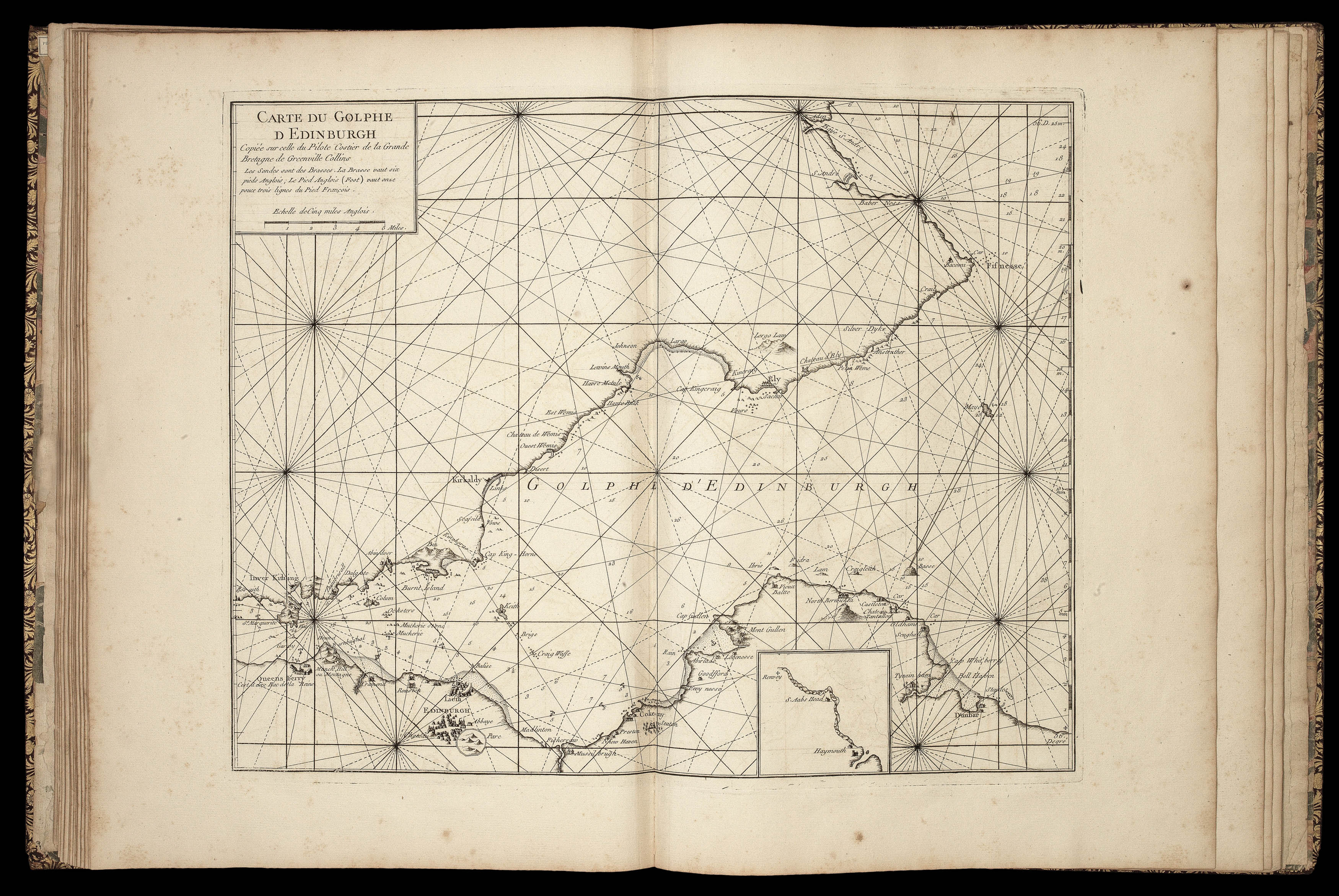
Even though the charts were some 60 years old by the middle of the eighteenth century, they were still highly regarded enough for the hydrographer to the French king, Jacques Nicolas Bellin, to publish a French edition of the pilot in 1757. The work was based upon the 1723 edition, with Bellin copying 19 of the charts, which cover the major ports of the south coast; Bristol; several ports in Wales, and Ireland including Cork; and the approaches to Edinburgh.
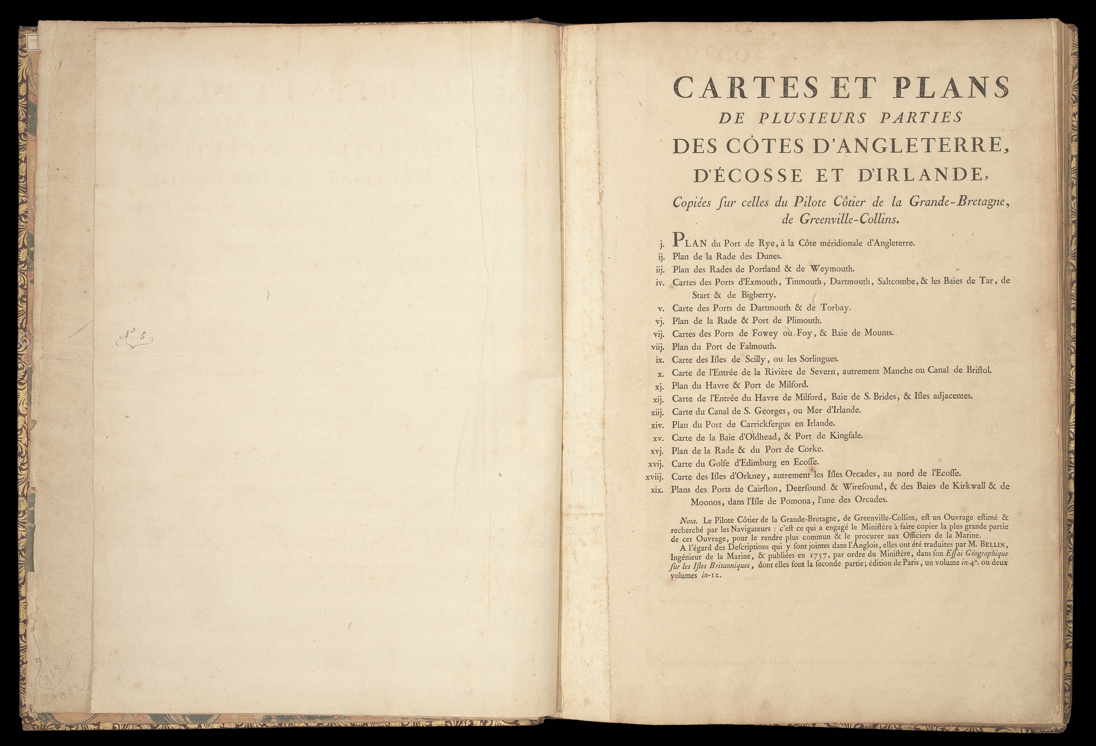
In a note at the foot of the title-page, the reasons are given for the publication of the atlas:
"Note. The Great Britain Coasting Pilot, by Greenville Collins is a work much sought by esteemed Navigators: this is why the Ministry has decided to copy a great deal of the work, in order to make it available for the use of the Officers of the Navy."
The note concludes with a word about the text:
"As regards the English text that accompanies the charts, it has been translated by M. Bellin, Hydrographer to the Navy, and published in 1757 in Paris, under the title Essai Geographique sur les Isles Britanniques; available in one volume quarto or two volumes duodecimo."
The real reason behind the publication, however, was almost certainly to assist with France's planned invasion of Great Britain during the Seven Years War. The invasion was conceived by the Duc de Choiseul, who became French foreign minister in December 1758 and effectively served as Prime Minister during the period of the mooted invasion. He wanted to launch a bold initiative that would knock Britain out of the war with one stroke. He perceived that Britain's strength was its naval power and thought that if a large French force managed to cross the channel without being intercepted, it could triumph over the relatively weak British land forces. Choiseul initially ignored perceived wisdom that any invasion would have to involve French warships, and believed that a massive fleet of flat-bottomed transport craft would carry an army of 100,000 troops across the channel where they would be landed on the coast of southern England. This, perhaps, explains why the atlas only covers the relevant southern portion of the British coastline. The Duc de Choiseul's plan received official approval in 1759, but was abandoned shortly after following naval defeats at the Battle of Lagos and the Battle of Quiberon Bay.
Rare. We were only able to trace seven institutional examples.
1. The Neuville family, of Normandy, arms on boards are possibly those of Philippe de Neuville (d. 1781), Minister of the Marine, or Jean Nicolas Buache de Neuville (1741-1825), who in 1782 replaced d'Anville as Premier Geographe du Roi and in 1794 and was appointed by Napoleon as Chef du Depot de la Marine, a post he held until his death
2. Anatole Delorme, signature;
3. Pierre Beres, ticket on front pastedown.
4. Lord Wardington (1924-2005) sold at the Wardington Sale Sotheby's 2005.