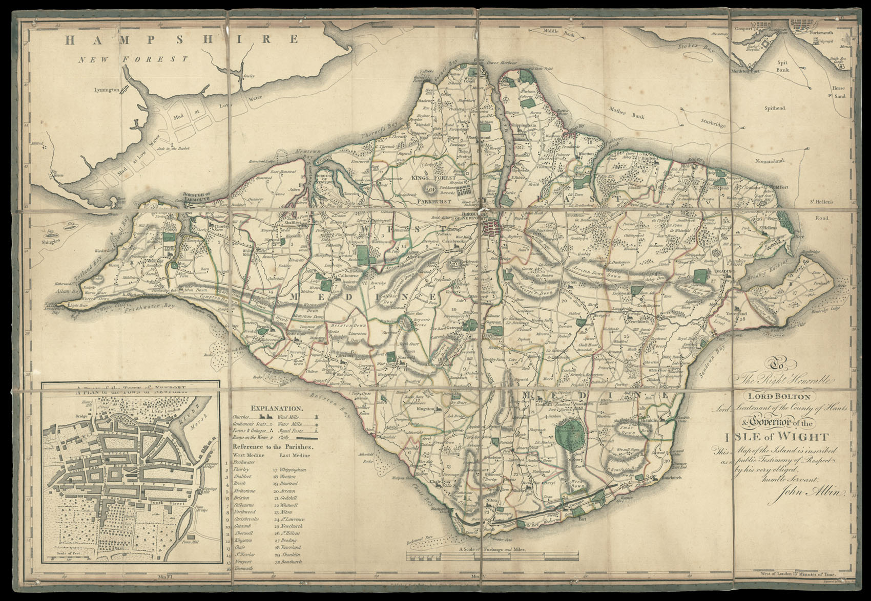
The map gives information on parishes, churches, gentlemen's seats, farms and cottages, buoys on the water, wind mills, water mills, signal posts, cliffs, rivers, roads, sandbanks, rocks. John Albin was a publisher and cartographer living and working in Newport. He is best known for 'A new, correct, and much improved-history of the Isle of Wight' (1795).
Scale: 1 inch to 1 statute mile.
...
The map gives information on parishes, churches, gentlemen's seats, farms and cottages, buoys on the water, wind mills, water mills, signal posts, cliffs, rivers, roads, sandbanks, rocks. John Albin was a publisher and cartographer living and working in Newport. He is best known for 'A new, correct, and much improved-history of the Isle of Wight' (1795).