Rare Maps

Rare Atlases

Rare Books

Rare Prints

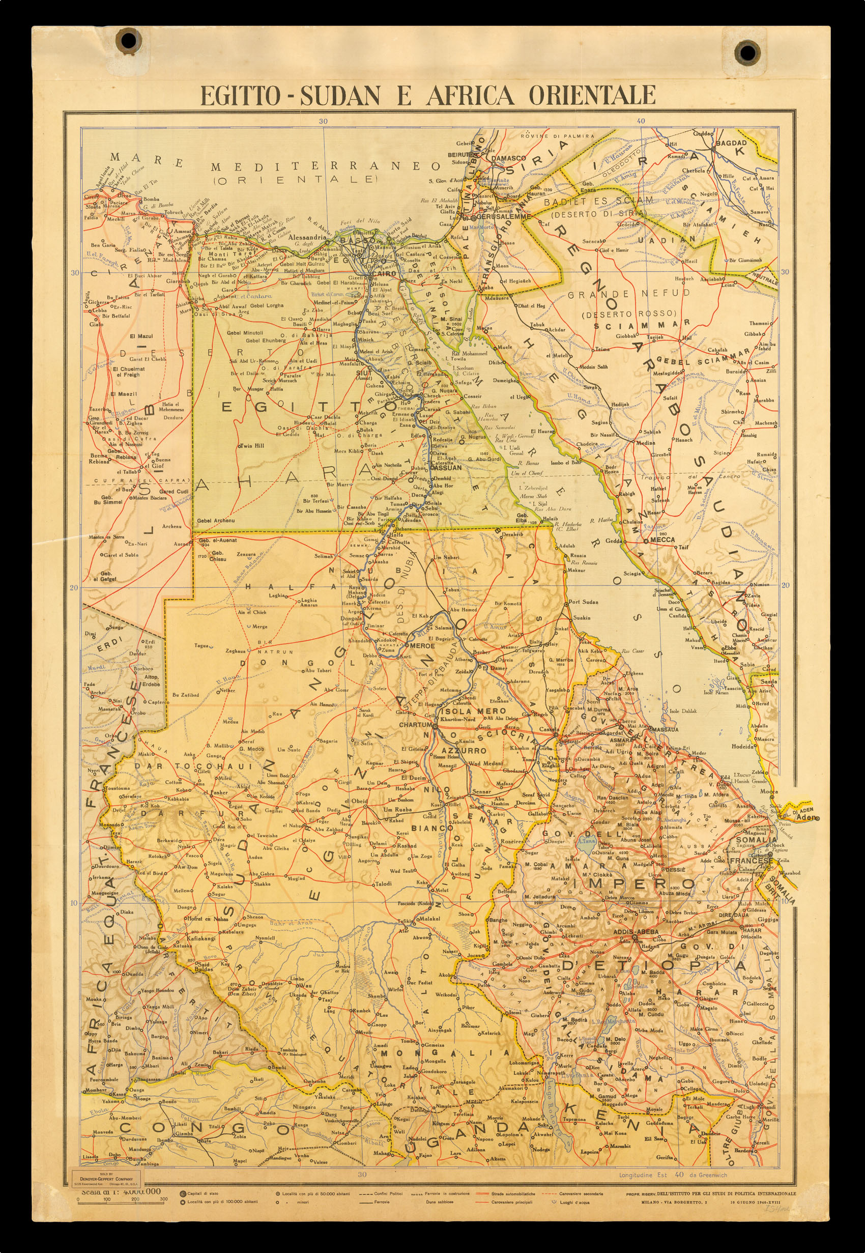
Colour printed lithographed map, eyelets at each top corner
notes:
Map of northeast Africa during WWII, showing the Italian colony of Africa Orientale Italiana, or, Italian East Africa, which combined Ethiopia, Eritrea and Italian Somaliland, with its administrative capital at Adis Abada. It was established by Decree in June 1, 1936, following the annexation on May 9 by Italy of Abyssinia and the proclamation of the King of Italy as Emperor of Ethiopia.
Founded in 1934, the Dell'Istituto per gli Studi de Politica Internazion...
bibliography:
provenance: