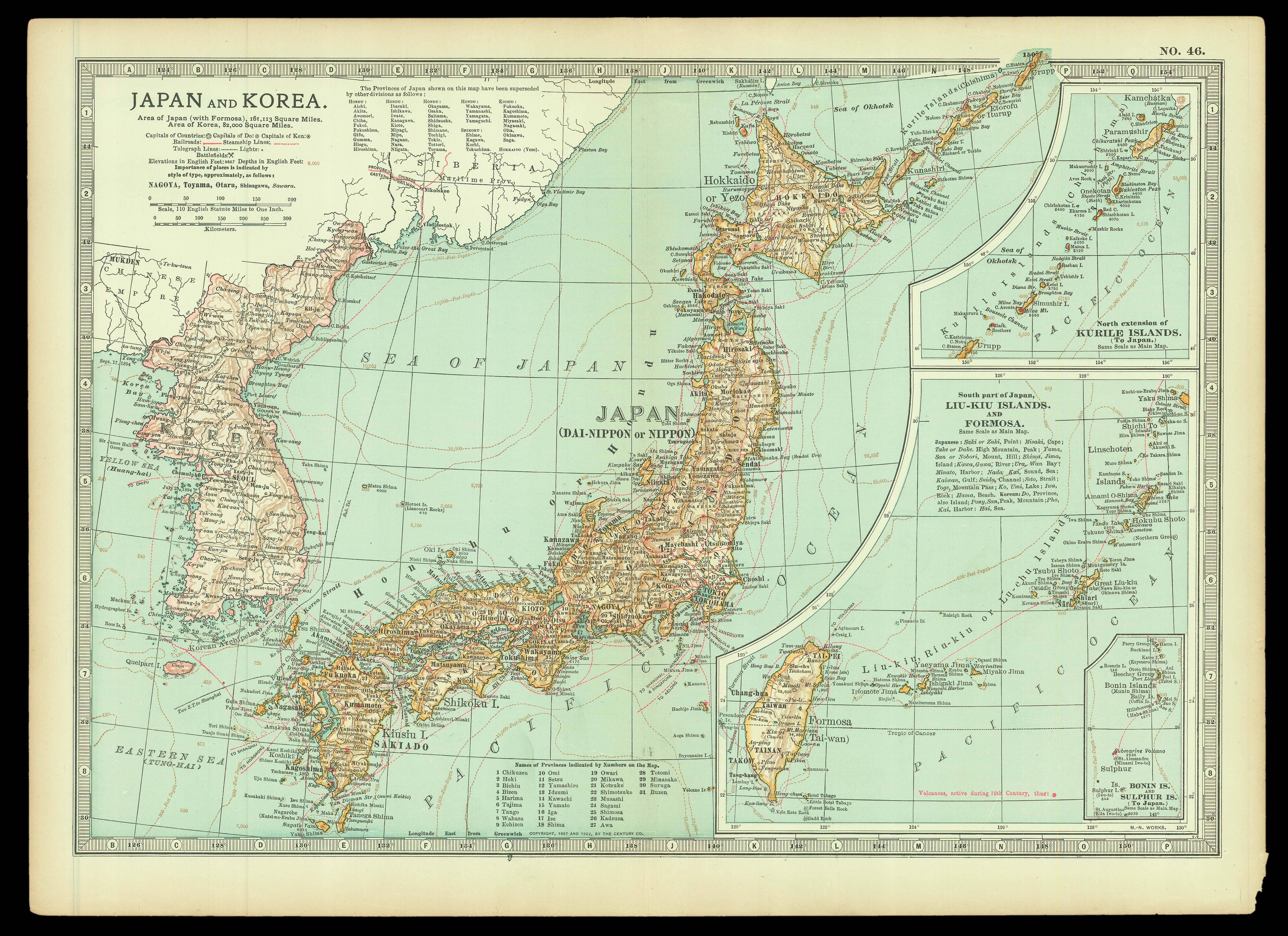
Railway lines marked with a red line; steamship routes with a red dotted lines; volcanoes active during the nineteenth century marked by a red dot; telegraph lines marked with a blue dashed line. Railway line shown extending to Aomori completed in 1905.
...
Published in the Encyclopaedia Britannica.
Railway lines marked with a red line; steamship routes with a red dotted lines; volcanoes active during the nineteenth century marked by a red dot; telegraph lines marked with a blue dashed line. Railway line shown extending to Aomori completed in 1905.