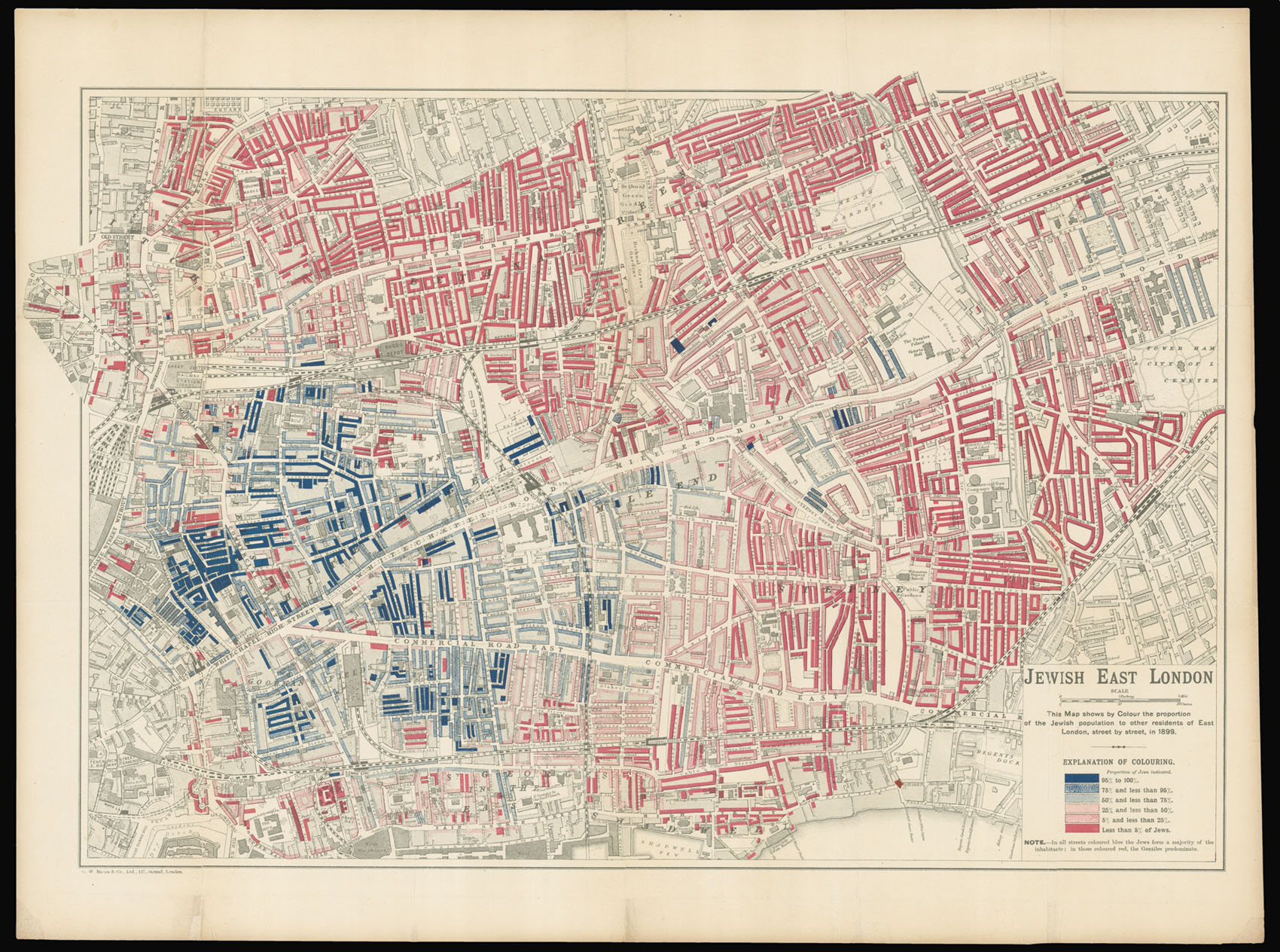
Detailed map of Jewish immigration in late Victorian London.
The map was the work of George Arkell, who was responsible for Booth's seminal maps of London poverty, and like them, the information was taken from School Board visitors' statistics. The map stretches north to south from the Hackney Road to the Tower of London, and west to east from Fenchurch Street Station to Tower Hamlets, City of London Cemetery.
The Tsarist persecution of the Jewish pop...
Detailed map of Jewish immigration in late Victorian London.
The map was the work of George Arkell, who was responsible for Booth's seminal maps of London poverty, and like them, the information was taken from School Board visitors' statistics. The map stretches north to south from the Hackney Road to the Tower of London, and west to east from Fenchurch Street Station to Tower Hamlets, City of London Cemetery.
The Tsarist persecution of the Jewish population in Russia and Poland in the latter half of the nineteenth century caused many to emigrate, and those that moved to London often sought refuge in the East End. It is estimated that some 7,000 Jews a year arrived from 1881 to 1900. Their arrival - like most emigrants or refugees - bred a great deal of resentment among the indigenous population. Although the work that accompanied the map attempts to give an balanced account of the Jewish present in the East End, to the casual observer it might give the impression of an East End dominated by the new arrivals. It is a sea of red and blue: red denotes a concentration of less than 5% of Jews; and dark blue denotes an area between 95-100% Jewish. Arkell used the same colour scheme as the Booth poverty maps, where dark blue was used to denote areas verging on "vicious, semi-criminal poverty".
Arkell's map may, therefore, have inadvertently "fuelled the racism that let to the passing of the 1905 Aliens Act aimed at reducing Jewish immigration to a trickle. In fact, at the time the overall Jewish presence in Stepney was only 18% and it never seems to have exceeded that percentage" (Barber).
The map was produced for inclusion in 'The Jew in London', a study of the Jewish population in the city by Charles Russell and Harry S. Lewis, commissioned by Toynbee Hall, an East End settlement house.
George Edward Arkell (1857-1926) was born in Pimlico, the son of a London cab driver. There can be few better basic qualifications for mapping London. He worked originally in publishing, but by this period was employed as a private secretary. He conducted numerous interviews for Booth – speaking to tailors, hatters, boot-makers, wood-workers and others – and toured the poorer streets (escorted by policemen) to make notes.
bibliography:
bibliography:
Peter Barber, London: A History in Maps (London: British Library and London Topographical Society, 2012), p.236.
![WESTERMAYER, C[onrad] [after] CLESS, [Jean Henri] Jean. Domin. Cassini.](https://omega.crouchrarebooks.com/wp-content/uploads/2025/03/17731_1H.jpg) Jean Dominique Cassini II
1 × £300
Jean Dominique Cassini II
1 × £300![[ANONYMOUS] Dr Maskelyne F.R.S. Astronomer Royal.](https://omega.crouchrarebooks.com/wp-content/uploads/2025/03/18150_1H.jpg) Dr Nevil Maskelyne
1 × £200
Dr Nevil Maskelyne
1 × £200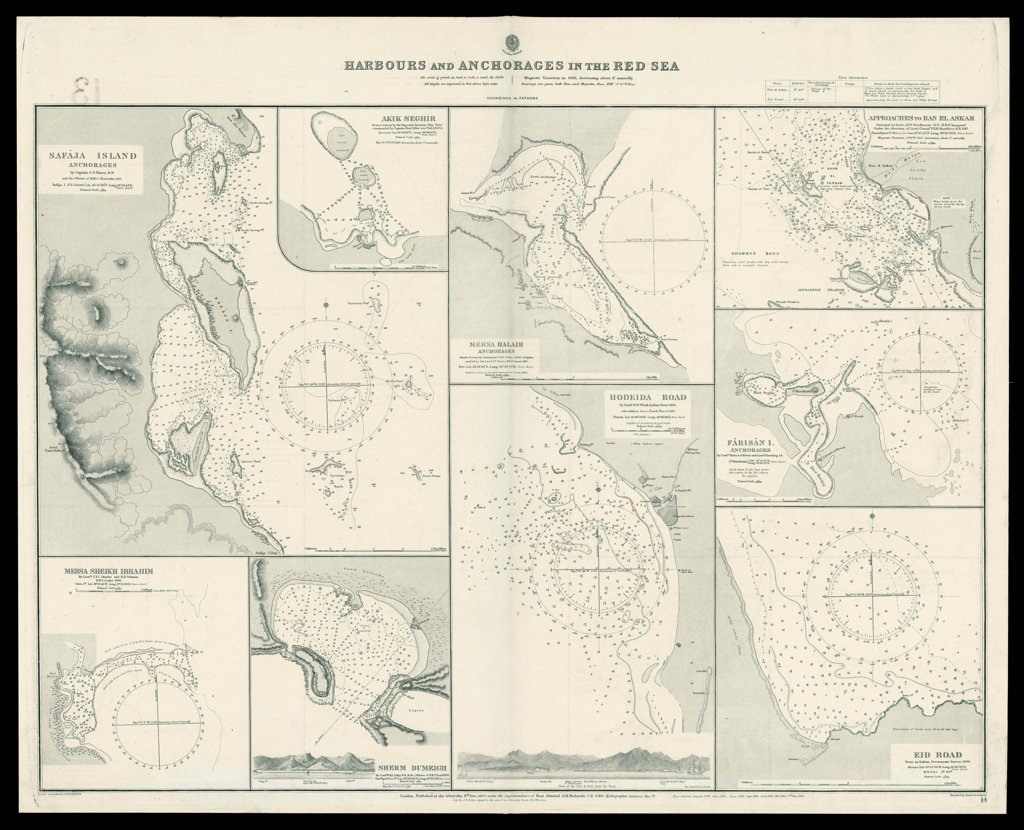 Admiralty chart of the harbour's and Anchorages in the Red Sea
1 × £700
Admiralty chart of the harbour's and Anchorages in the Red Sea
1 × £700![CHAFRION, J[osé] Carta de la Rivera de Genova](https://omega.crouchrarebooks.com/wp-content/uploads/2025/03/18194_1H.jpg) Wall map of Liguria
1 × £15,000
Wall map of Liguria
1 × £15,000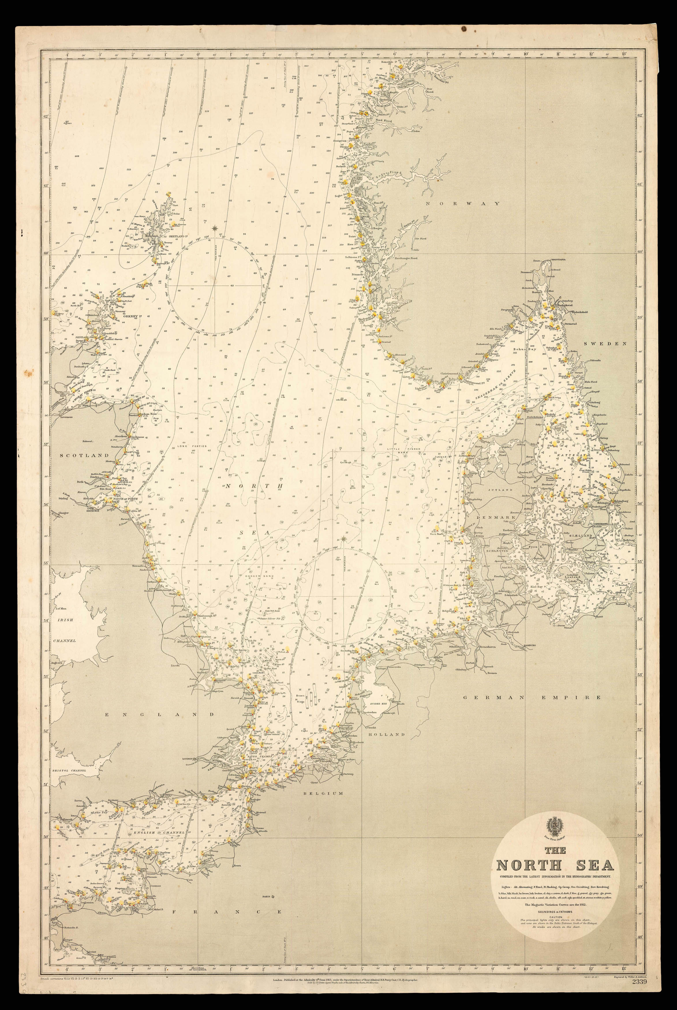 Admiralty Chart of the North Sea
1 × £750
Admiralty Chart of the North Sea
1 × £750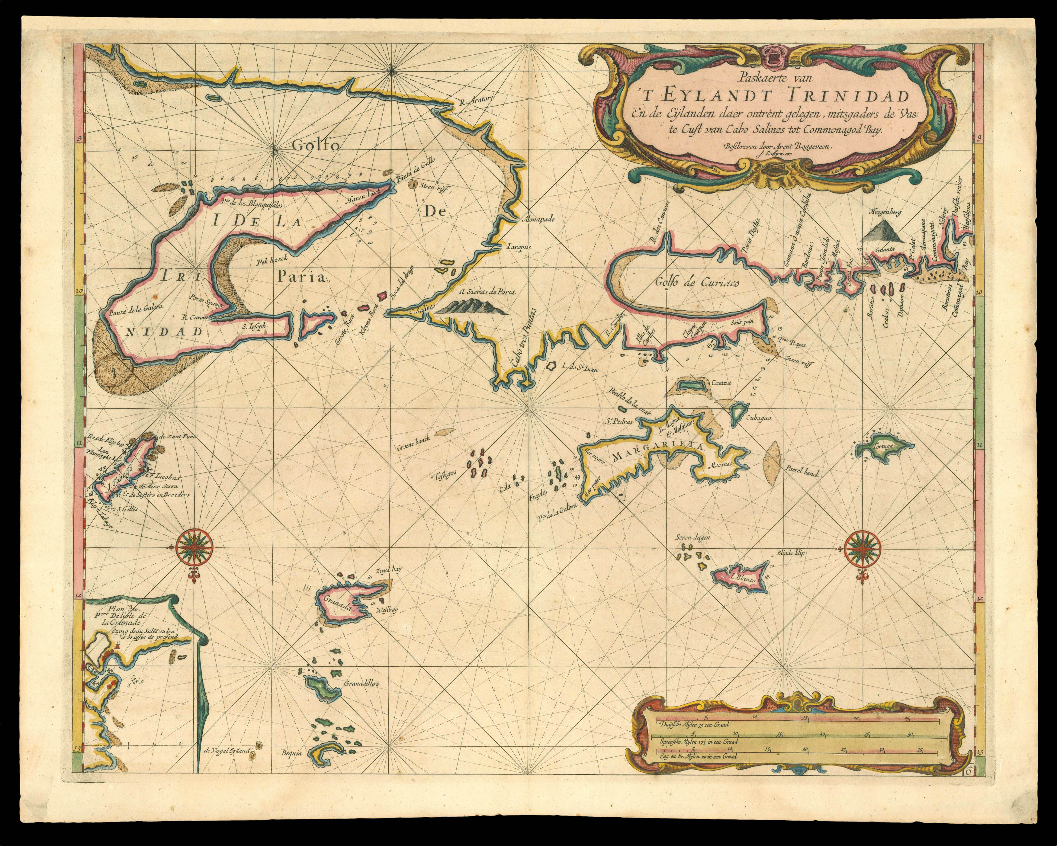 Trinidad
1 × £4,000
Trinidad
1 × £4,000![LABELYE, Charles [Kent] A Mapp of the Downes](https://omega.crouchrarebooks.com/wp-content/uploads/2025/03/11318_1H.jpg) Rare survey of Sandwich in Kent
1 × £1,000
Rare survey of Sandwich in Kent
1 × £1,000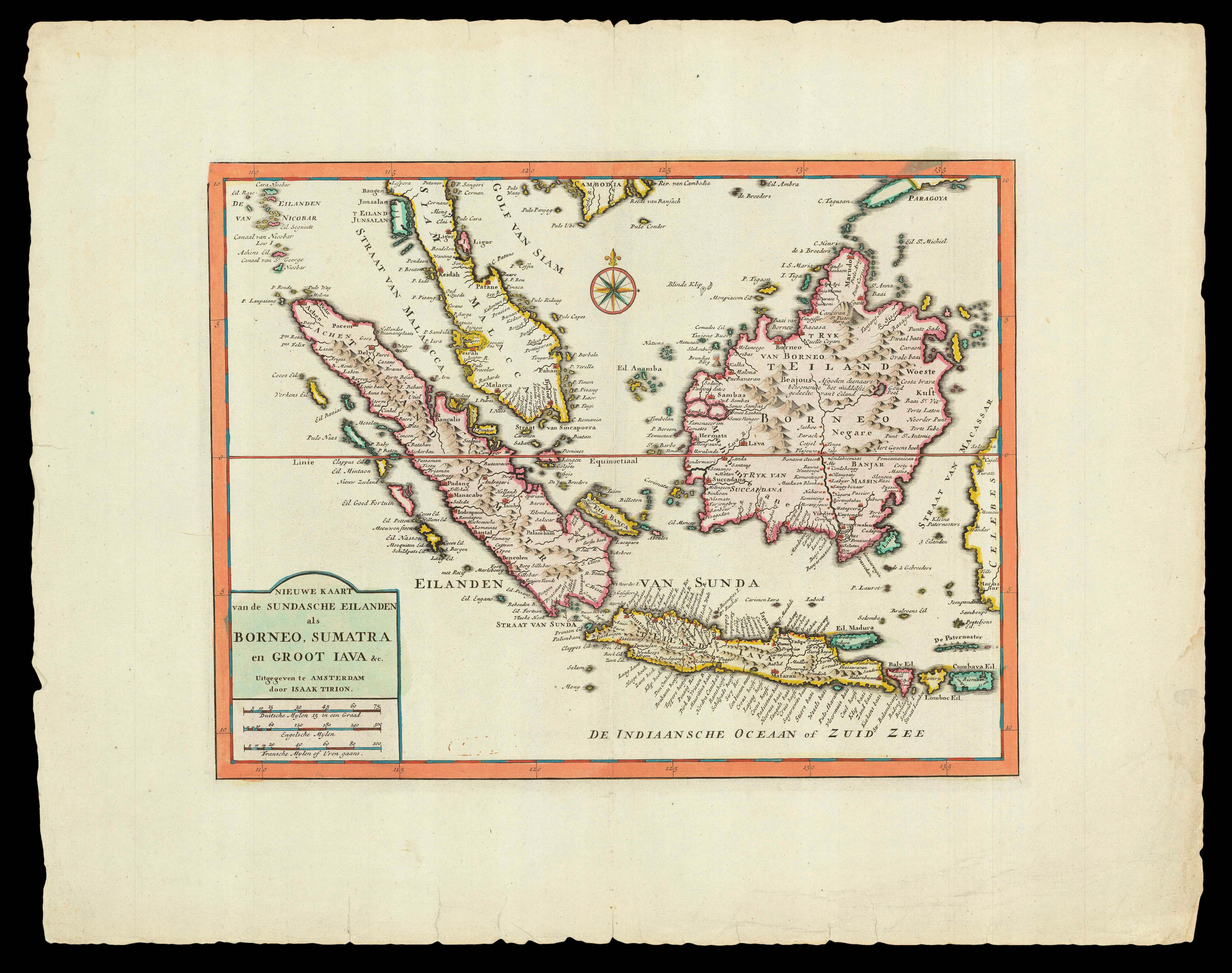 Trion's map of southwest Southeast Asia
1 × £470
Trion's map of southwest Southeast Asia
1 × £470![HOLLAR, W[enceslaus] [Twelve Months of the Year with Signs of the Zodiac]](https://omega.crouchrarebooks.com/wp-content/uploads/2025/03/18313_1H.jpg) The twelve months
1 × £12,000
The twelve months
1 × £12,000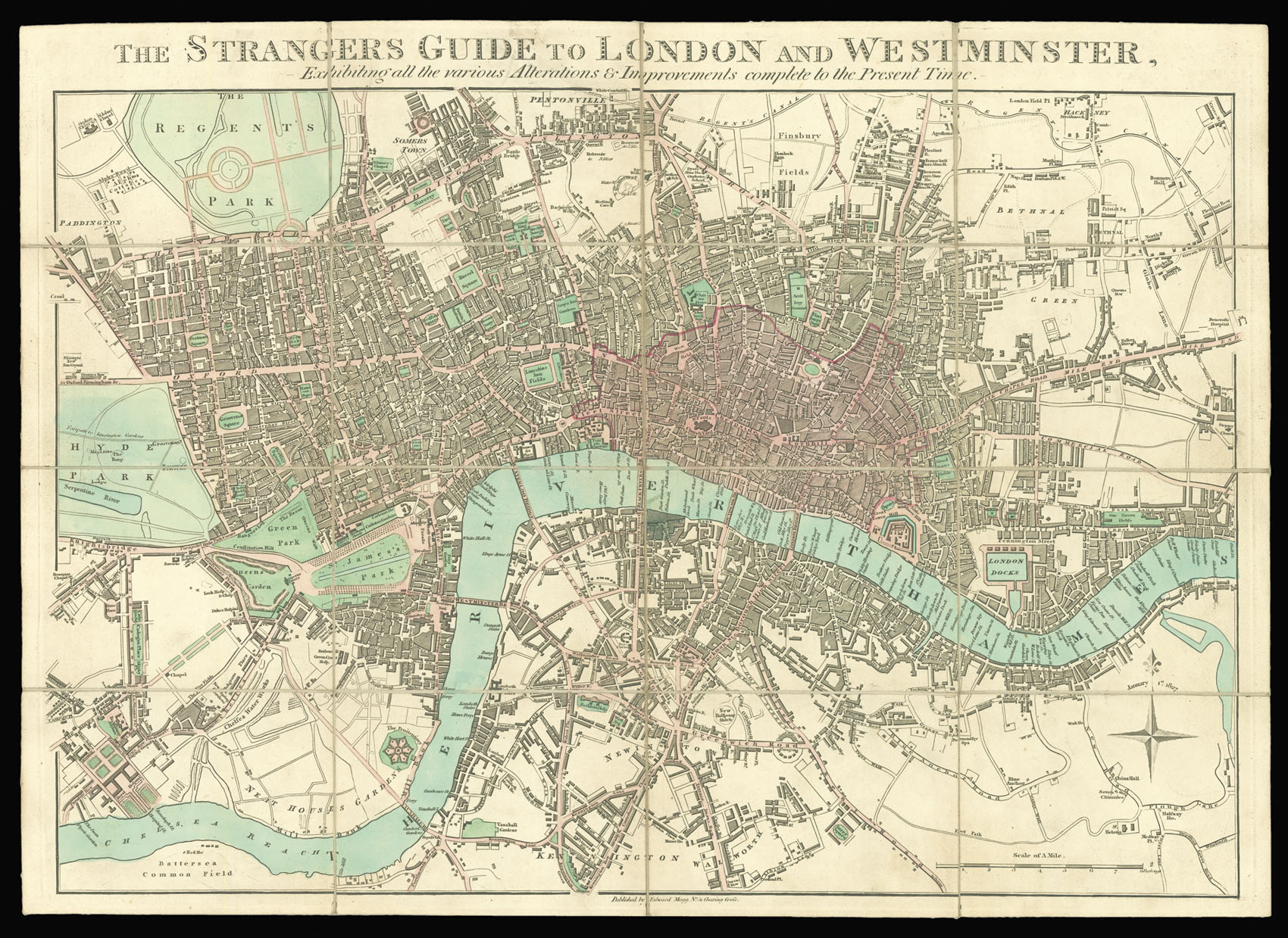 For the Stranger to late Georgian London
1 × £900
For the Stranger to late Georgian London
1 × £900![MARTIN, Benjamin; R. PAGE [Benjamin Martin]](https://omega.crouchrarebooks.com/wp-content/uploads/2025/03/17792_1H.jpg) Benjamin Martin
1 × £150
Benjamin Martin
1 × £150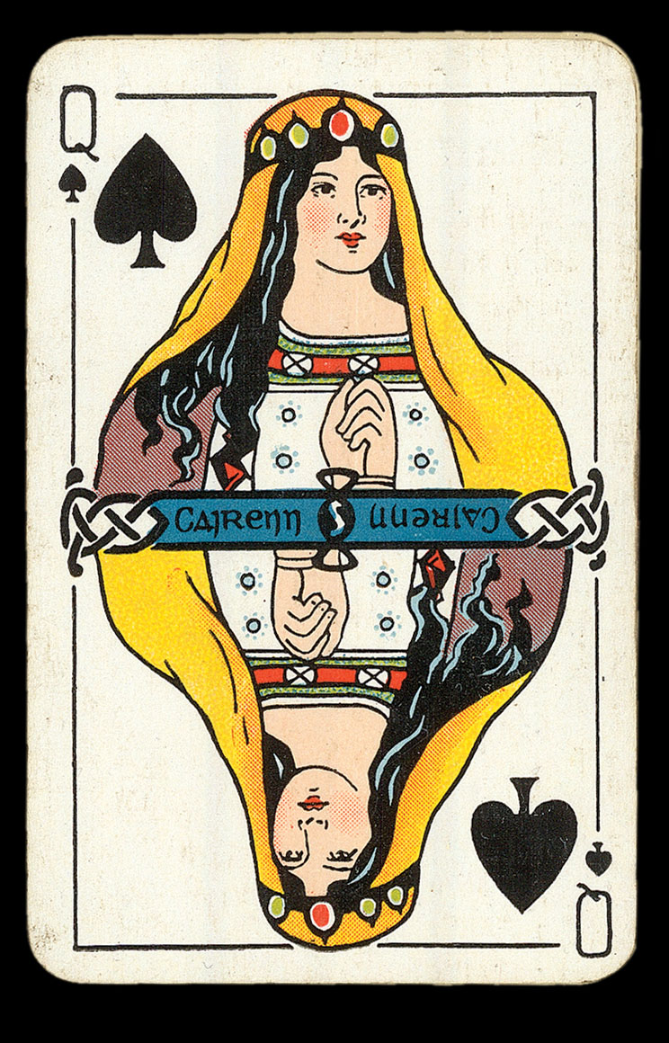 Luck of the Irish
1 × £800
Luck of the Irish
1 × £800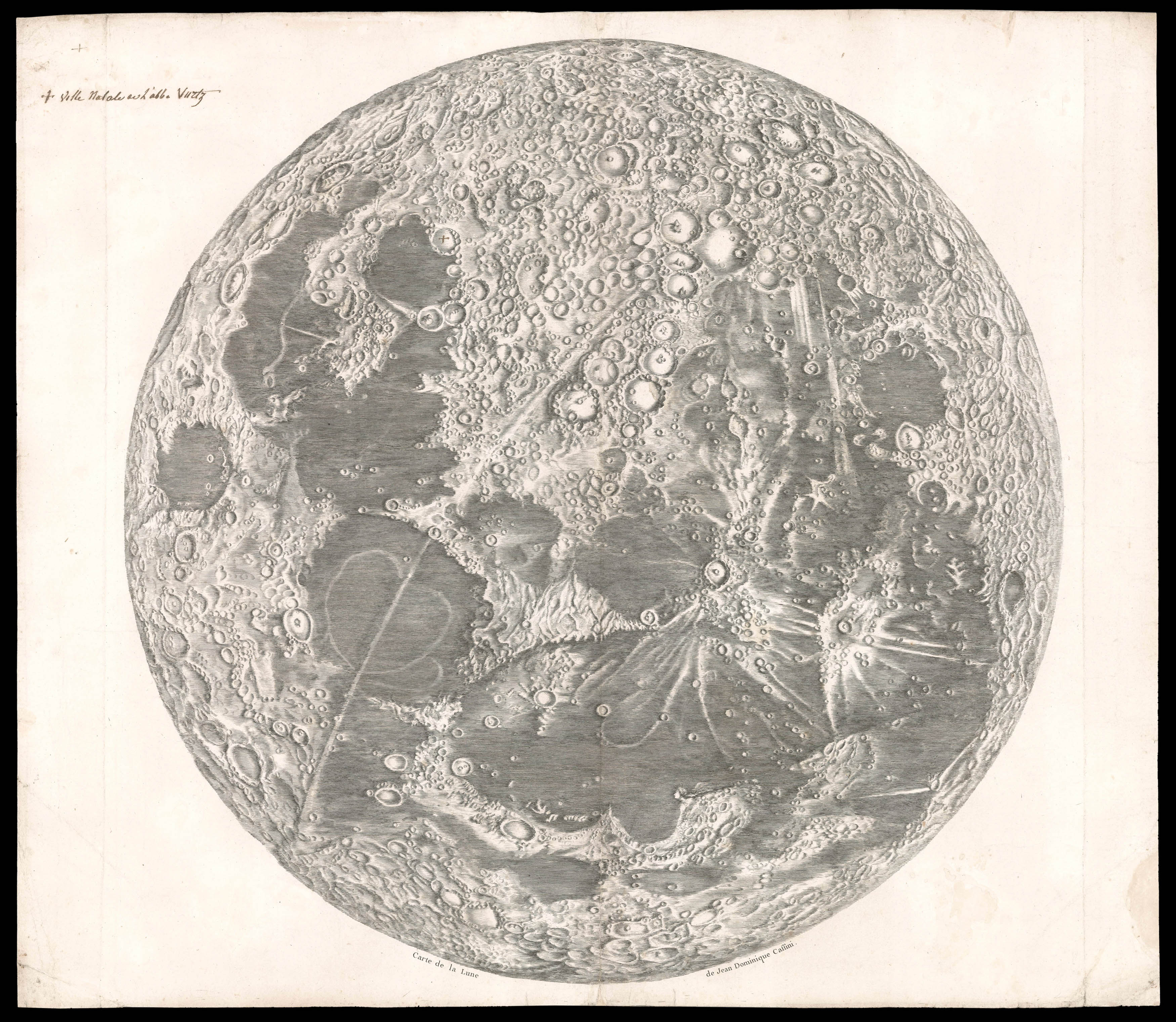 Cassini's seminal Lunar Map
1 × £50,000
Cassini's seminal Lunar Map
1 × £50,000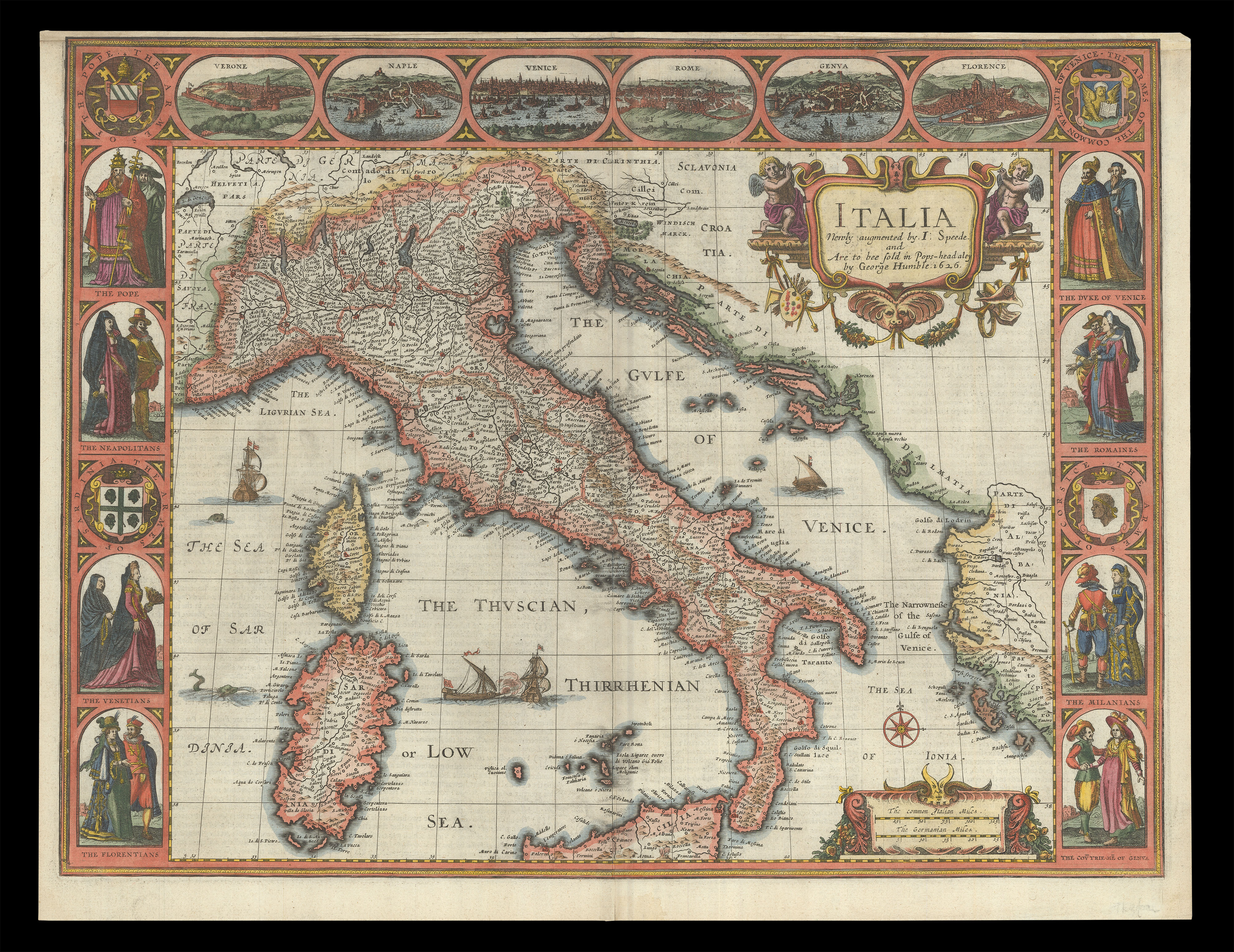 Speed's map of Italy
1 × £2,500
Speed's map of Italy
1 × £2,500![GÖBL, Andreas Benedict Baierische Hochzeit [Bavarian Wedding]](https://omega.crouchrarebooks.com/wp-content/uploads/2025/03/20704_1H.jpg) A royal wedding
1 × £20,000
A royal wedding
1 × £20,000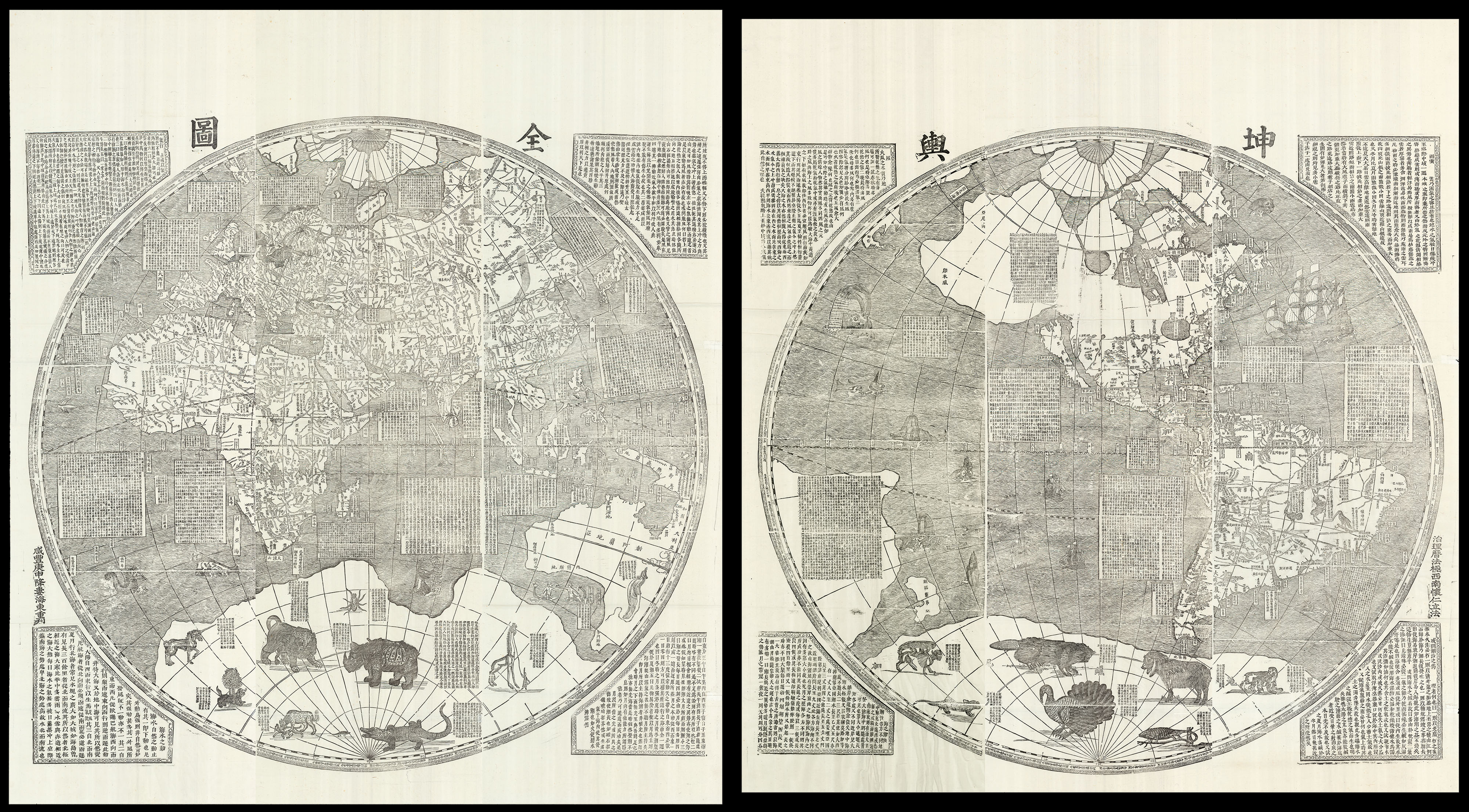 One of the largest world maps ever printed
1 × £180,000
One of the largest world maps ever printed
1 × £180,000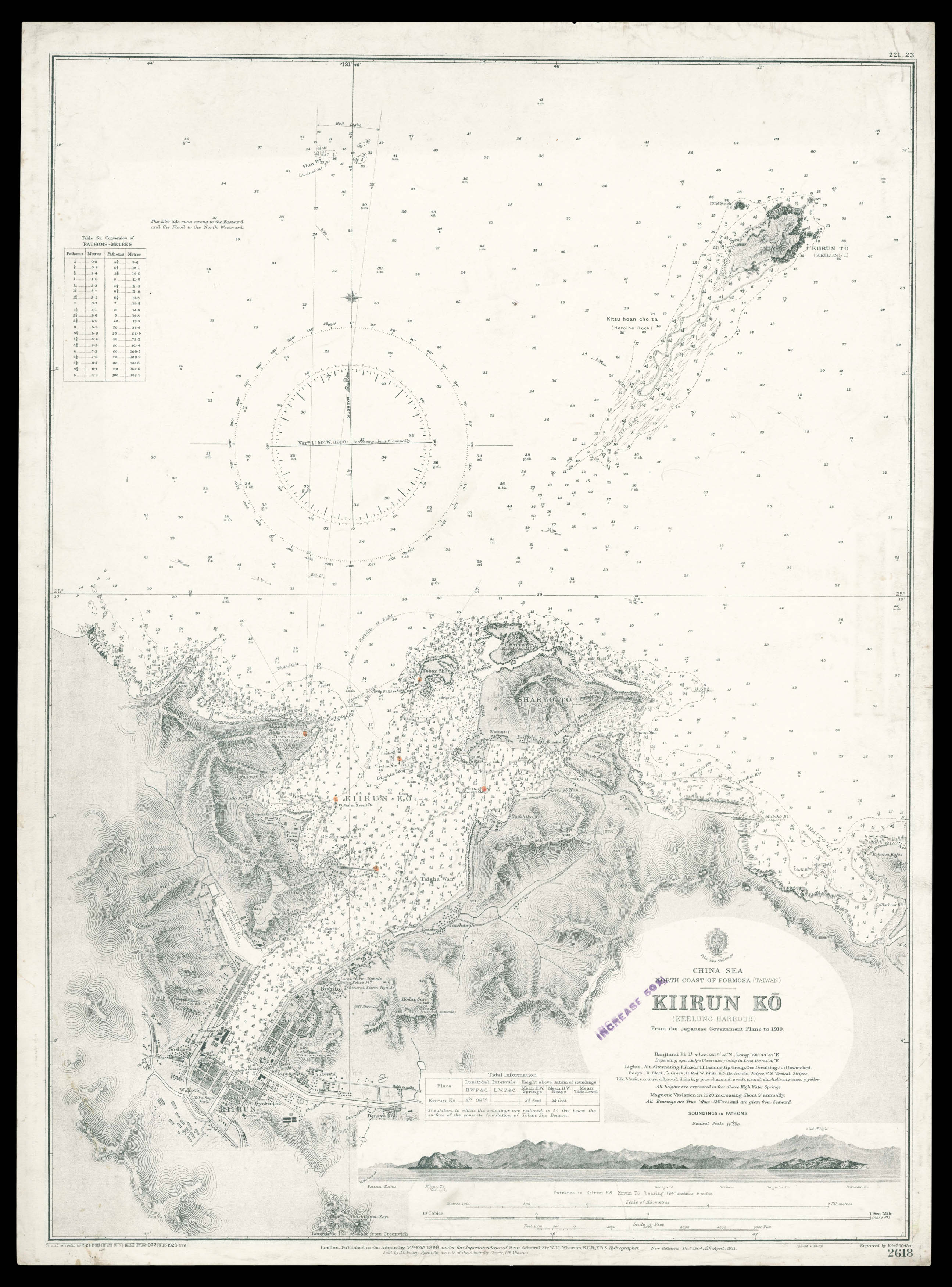 Admiralty chart of northern Taiwan
1 × £950
Admiralty chart of northern Taiwan
1 × £950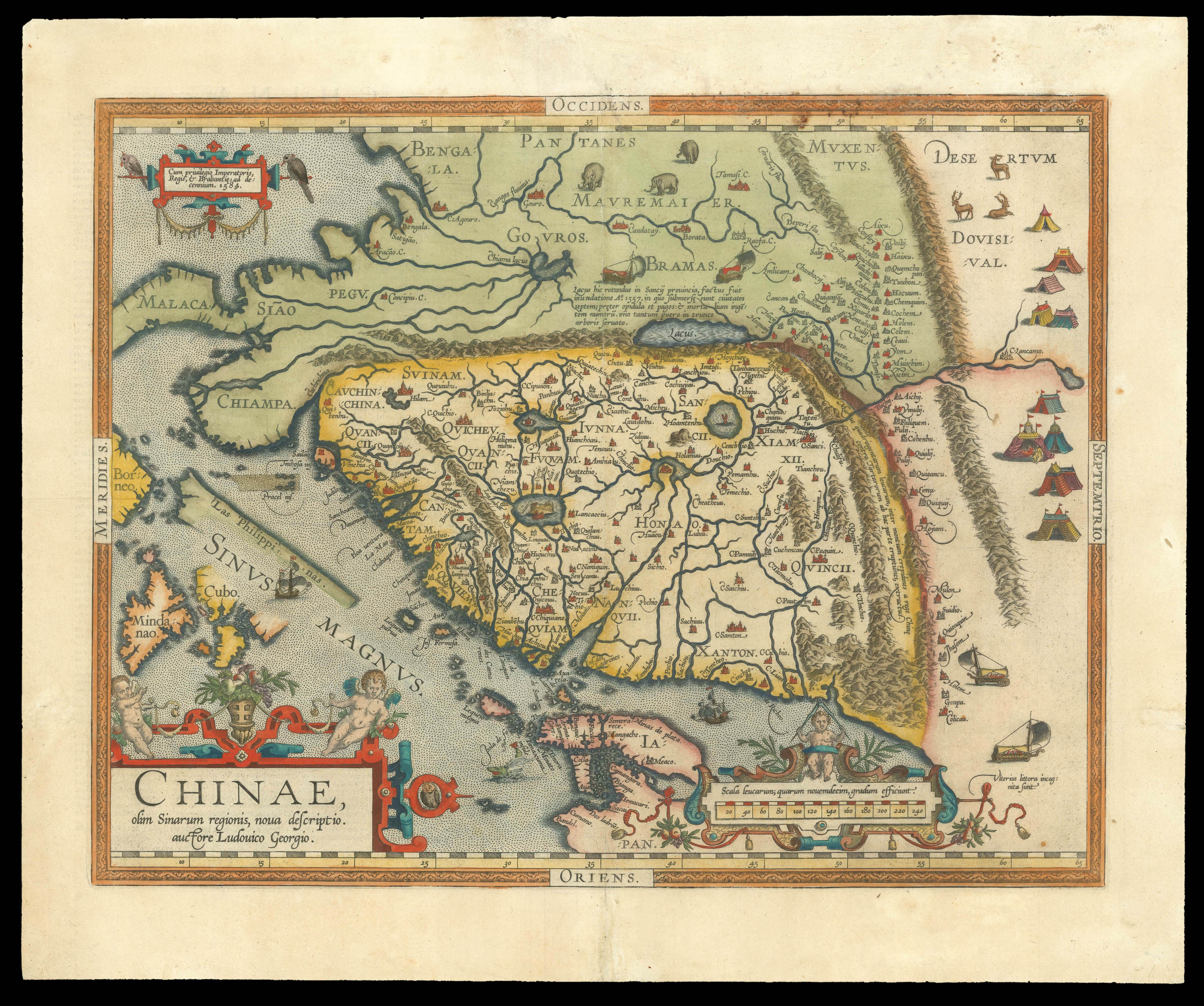 The earliest printed map to focus on China
1 × £4,500
The earliest printed map to focus on China
1 × £4,500![[ANDREES, Richard] Japan.](https://omega.crouchrarebooks.com/wp-content/uploads/2025/03/15809_1H.jpg) From the fourth edition of 'Andrees Allgemeiner Handatlas
1 × £40
From the fourth edition of 'Andrees Allgemeiner Handatlas
1 × £40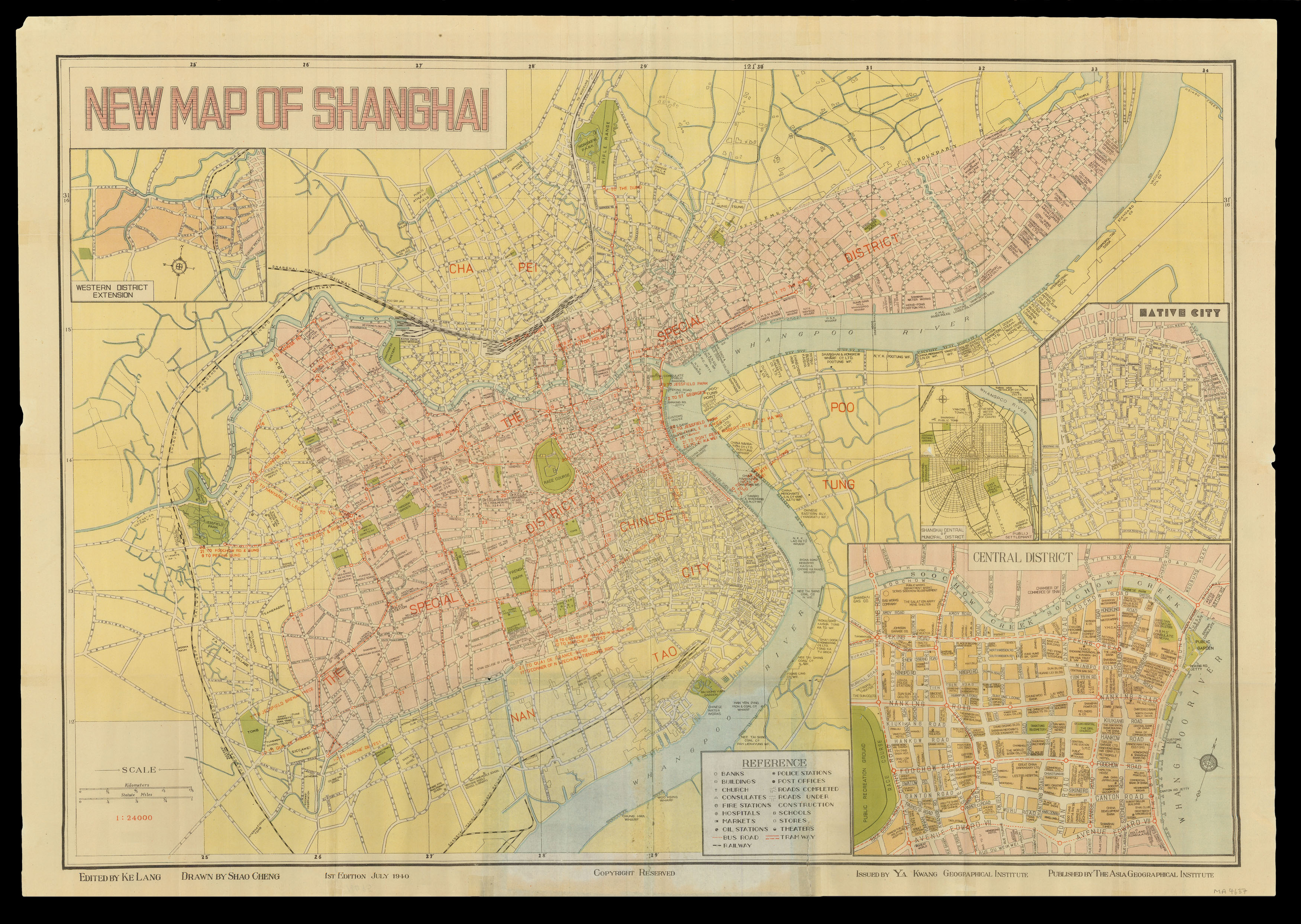 1940 Plan of Shanghai
1 × £1,500
1940 Plan of Shanghai
1 × £1,500![ROBERTSON, Archibald; and Paul SANDBY Arch[ibal]d Robertson, Print-Seller and Drawing-Master, in Savill Row Passage, adjoining Squib's Auction Room](https://omega.crouchrarebooks.com/wp-content/uploads/2025/03/18427_1H.jpg) D is for Drawing Master
1 × £1,050
D is for Drawing Master
1 × £1,050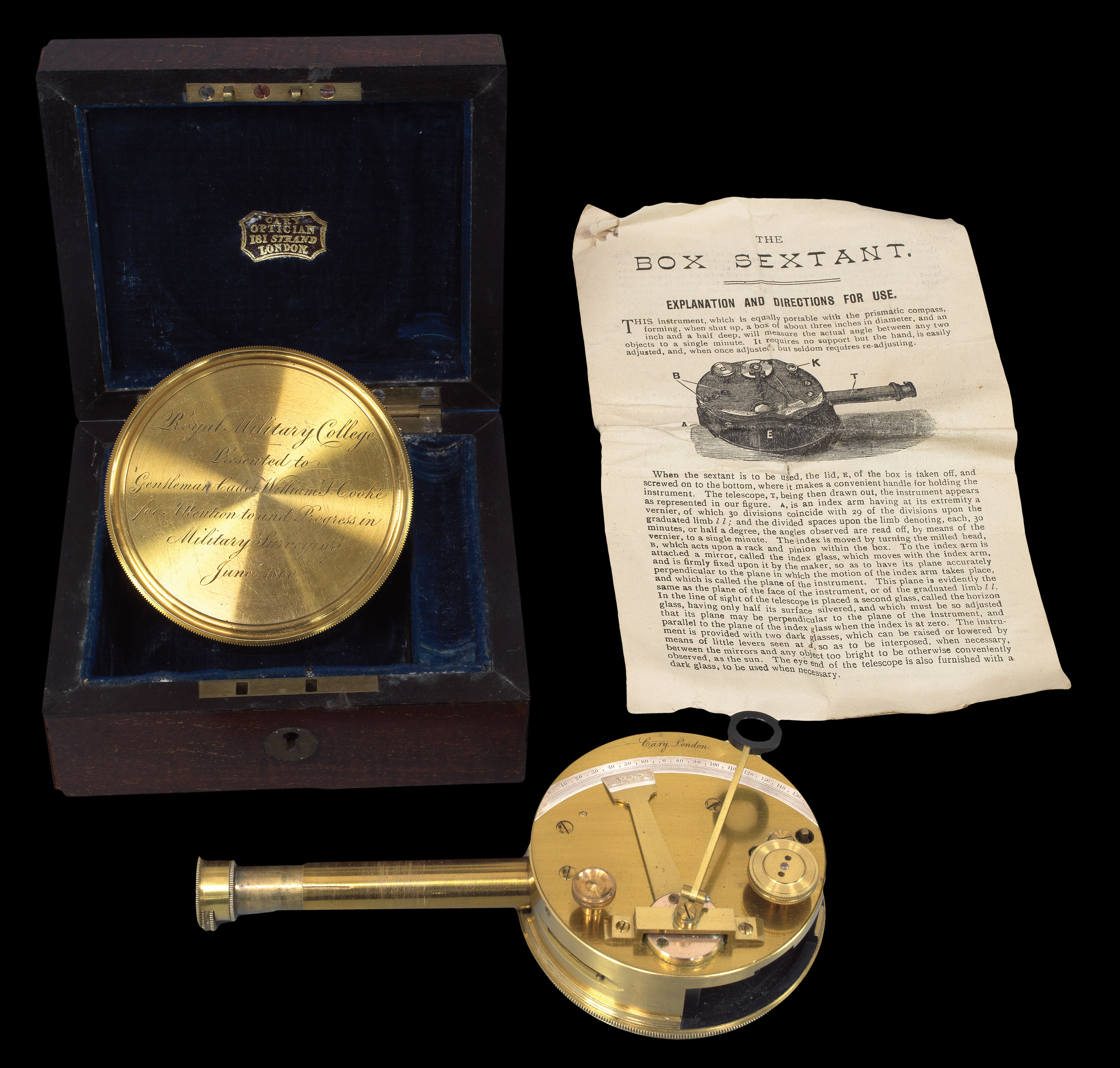 Rare Pocket Sextant
1 × £1,500
Rare Pocket Sextant
1 × £1,500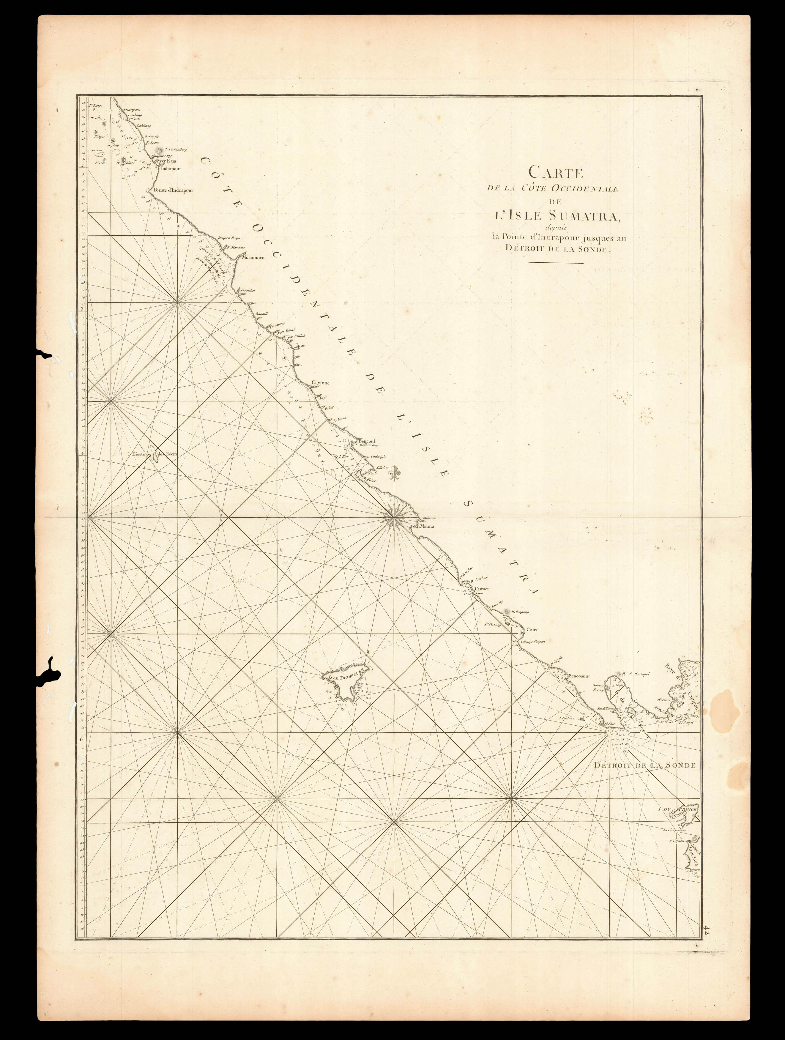 Southern entrance to the Sunda Strait
1 × £220
Southern entrance to the Sunda Strait
1 × £220![HUANG, Qianren [Complete Geographical Map of the Everlasting Unified Qing Empire].](https://omega.crouchrarebooks.com/wp-content/uploads/2025/03/20129_1H.jpg) The "Blue Map" of the World
1 × £400,000
The "Blue Map" of the World
1 × £400,000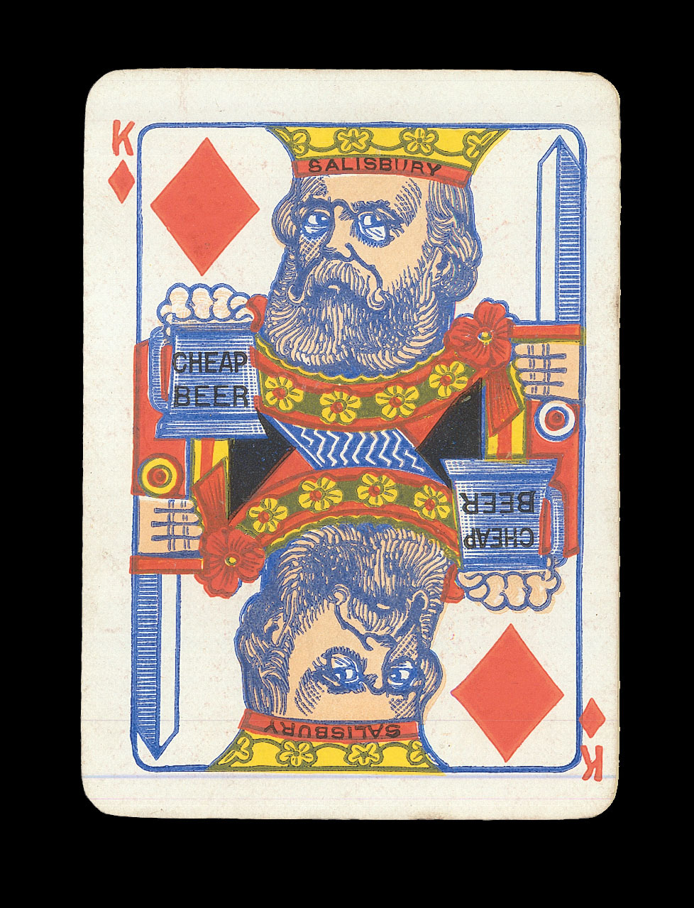 Playing Politics
1 × £1,200
Playing Politics
1 × £1,200