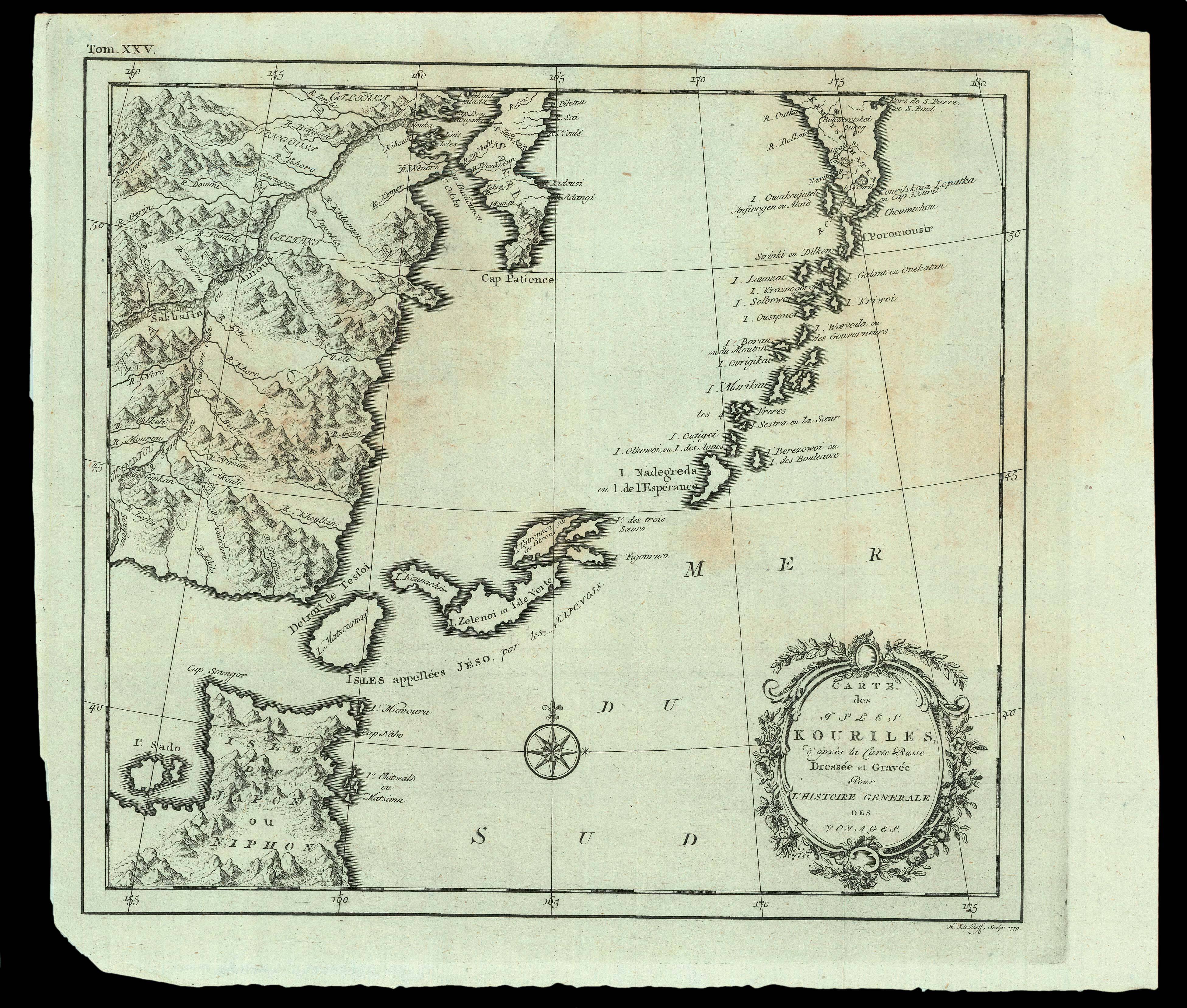
A map of the Kuril Islands by Hendrik Klockhoff (fl.1777-1798), a Dutch engraver active in Amsterdam.
Klockhoff has re-engraved a map prepared by Jacques Nicolas Bellin for the Abbé Prévost's 'Histoire des Voyages', which was in turn based on a larger Dutch map of Russia.
...
A map of the Kuril Islands by Hendrik Klockhoff (fl.1777-1798), a Dutch engraver active in Amsterdam.
Klockhoff has re-engraved a map prepared by Jacques Nicolas Bellin for the Abbé Prévost's 'Histoire des Voyages', which was in turn based on a larger Dutch map of Russia.