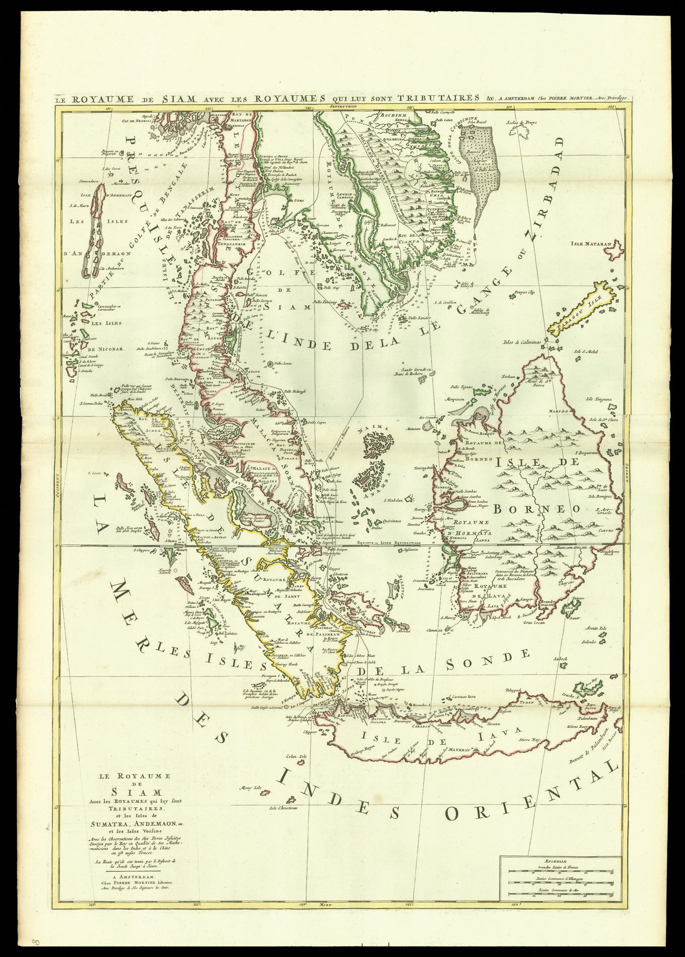
A chart of the southeast Asia, covering the Malay Peninsula and Indonesia. It includes the geographical discoveries made by Jesuit expeditions in the area.
The chart was first published in Pierre Mortier's issue of Hubert Jaillot's "Atlas Nouveau", and later in Mortier's maritime atlas, the "Neptune Francois".
...
A chart of the southeast Asia, covering the Malay Peninsula and Indonesia. It includes the geographical discoveries made by Jesuit expeditions in the area.
The chart was first published in Pierre Mortier's issue of Hubert Jaillot's "Atlas Nouveau", and later in Mortier's maritime atlas, the "Neptune Francois".