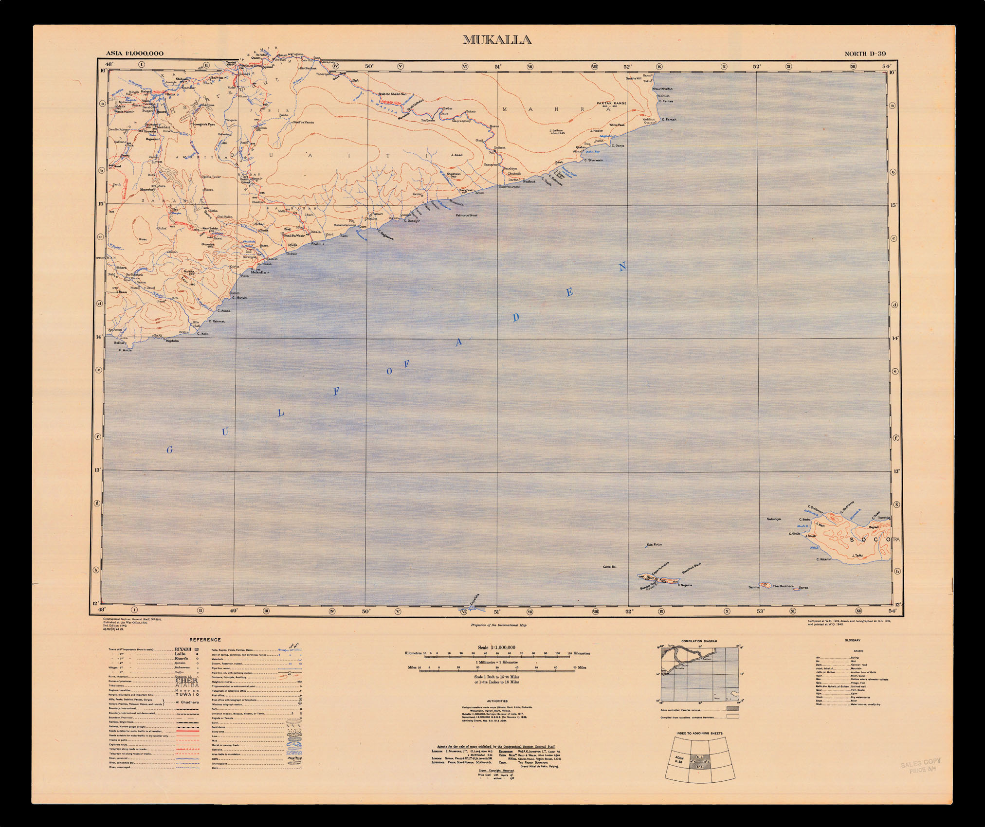
Mukalla, a strategic southeastern port in the Yemen on the Gulf of Aden, part of the British Aden Protectorate from 1882-1967. First published by the War Office in 1926, this second edition is based on"various travellers route maps", including H. St. John Philby, and Freya Stark, who travelled there in search of an ancient silk route in 1934-35, and published her account of the regions in 'The Southern Gates of Arabia' (1936). During WWII, Stark "joined the Ministry of I...
Mukalla, a strategic southeastern port in the Yemen on the Gulf of Aden, part of the British Aden Protectorate from 1882-1967. First published by the War Office in 1926, this second edition is based on"various travellers route maps", including H. St. John Philby, and Freya Stark, who travelled there in search of an ancient silk route in 1934-35, and published her account of the regions in 'The Southern Gates of Arabia' (1936). During WWII, Stark "joined the Ministry of Information as an expert on south Arabia, and worked as a propagandist in Aden, Yemen, and Egypt, where she became friends with General Archibald Wavell. Her main effort at propaganda, which she styled persuasion, was founding the Brotherhood of Freedom, an organization that attempted to build support for democracy and cadres of pro-British sympathizers through clandestine tea parties" (Peter H. Hansen for DNB).