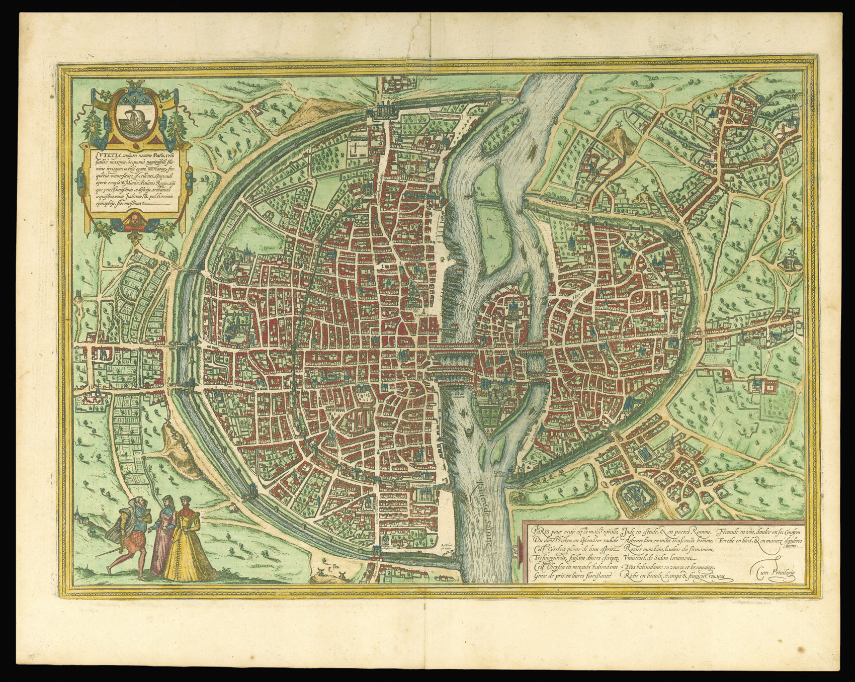
Lutetia, Vulgari Nomine Paris, Urbs Galliae Maxima...
Cologne,
1572
Double-page engraved map, fine original hand-colour.
340 by 480mm (13.5 by 19 inches).
2848
notes:
A fine example of the first state of Braun and Hogenberg's plan of Paris.
Paris is shown from a bird's-eye perspective. In the 16th century, under Henry IV, the city was transformed into a splendid capital; in the present engraving, however, this process has not yet begun. The urban layout within the city walls is illustrated very clearly, as is the Seine flowing around the àŽle de la Cité with the Sainte-Chapelle, the palace chapel. During the reign of Philip IV...
Paris is shown from a bird's-eye perspective. In the 16th century, under Henry IV, the city was transformed into a splendid capital; in the present engraving, however, this process has not yet begun. The urban layout within the city walls is illustrated very clearly, as is the Seine flowing around the àŽle de la Cité with the Sainte-Chapelle, the palace chapel. During the reign of Philip IV...
bibliography:
Van der Krogt 3298 state 1.
provenance:


