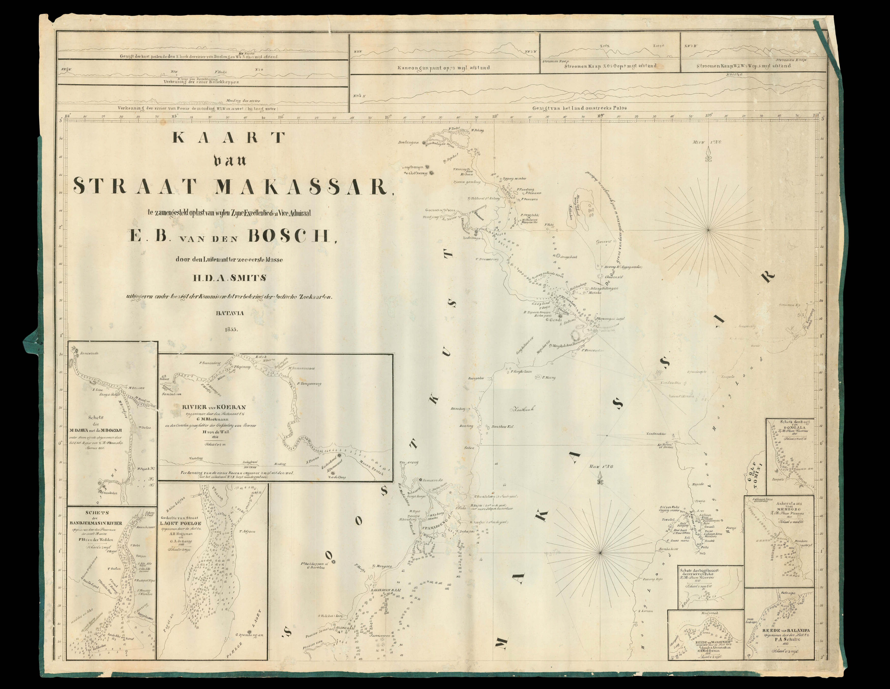
A detailed chart of the Makassar Strait between Borneo and Sulawesi, surrounded by numerous insets and coastal profiles, at a time when the Dutch were in firm control of the area, although the British had interest in the northern part of Borneo.
The chart is dedicated to Engelbertus Batavus Van Den Bosch (1789-1751), Colonial Secretary and Commander of the Navy in the Dutch East Indies. Smits created a number of charts of the area, but this is only known in one o...
A detailed chart of the Makassar Strait between Borneo and Sulawesi, surrounded by numerous insets and coastal profiles, at a time when the Dutch were in firm control of the area, although the British had interest in the northern part of Borneo.
The chart is dedicated to Engelbertus Batavus Van Den Bosch (1789-1751), Colonial Secretary and Commander of the Navy in the Dutch East Indies. Smits created a number of charts of the area, but this is only known in one other example, at the University of Leiden.