A large-scale and beautifully decorated chart of the Mediterranean. To the upper left, is an elaborate title-cartouche with Neptune riding two white horses together with other personifications of the sea, above which is the coat-of-arms of Jean-Frédéric Phélypeaux, Count of Maurepas, head of the French navy and to whom the chart is dedicated.
Below the title are French, Dutch, Spanish, and Italian scale bars, repeated in the second (Eastern) sheet, within an ela...
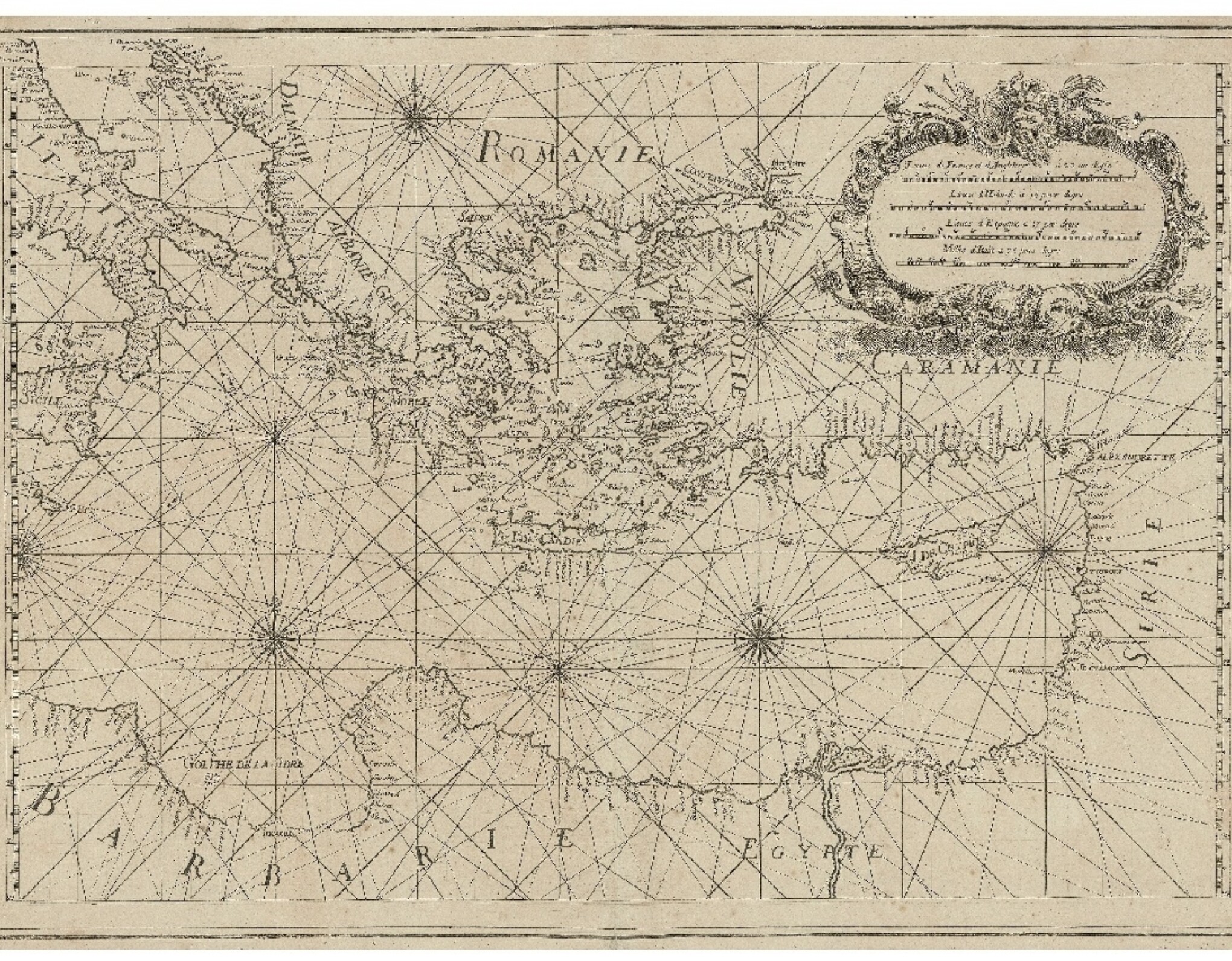
A large-scale and beautifully decorated chart of the Mediterranean. To the upper left, is an elaborate title-cartouche with Neptune riding two white horses together with other personifications of the sea, above which is the coat-of-arms of Jean-Frédéric Phélypeaux, Count of Maurepas, head of the French navy and to whom the chart is dedicated.
Below the title are French, Dutch, Spanish, and Italian scale bars, repeated in the second (Eastern) sheet, within an elaborate cartouche.
Little is known of François Olivier (fl.1746-1782), however, he must have been a fine seaman as the present chart gives him the title of Vice-Admiral of the Toulon region ("Vice-Amiral au Departement de Toulon"). By the middle of the eighteenth century Toulon had become one of France's most important naval bases, from where she operated her large Mediterranean fleet.
Rare. We are only able to trace three institutional examples: in the British Library; The National Maritme Museum; and the Bibliotheque Nationale de France.


![OLIVIER, F[rançois] Nouvelle Carte de la Mer Mediterranee](https://omega.crouchrarebooks.com/wp-content/uploads/2025/03/1303_1H.jpg)
![OLIVIER, F[rançois] Nouvelle Carte de la Mer Mediterranee](https://omega.crouchrarebooks.com/wp-content/uploads/2025/03/1303_2H.jpg)