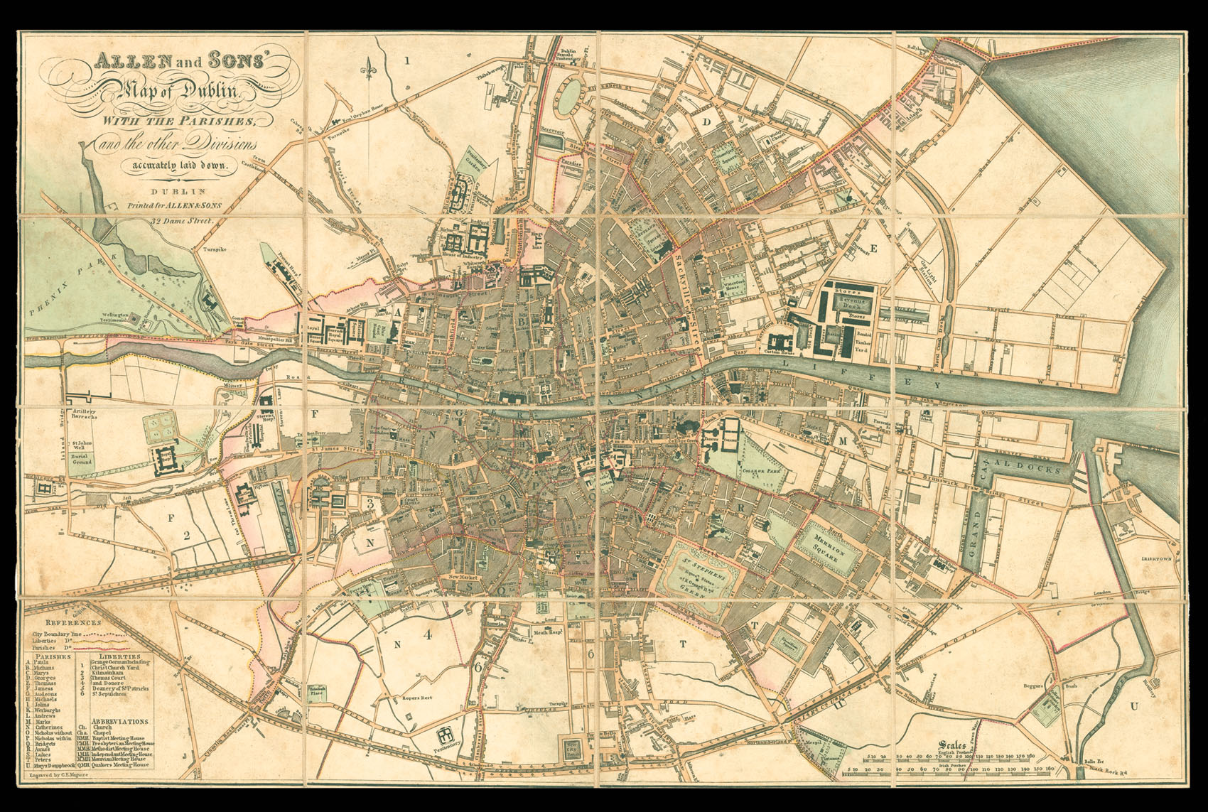
Allen and Sons' Map of Dublin.
With the Parishes, and the other Divisions accurately laid down.
Dublin,
Printed by Allen & Sons, 32 Dame Street,
[c.1824].
Engraved plan, original hand colour, dissected and mounted on linen, folding into original publisher's slipcase, with label pasted on.
325 by 520mm. (12.75 by 20.5 inches).
10821
notes:
Rare late Georgian plan of Dublin.
The plan marks all major public buildings, including Trinity College, the Royal Hospital, the Custom's House, Prisons, and the Castle; also shown are squares, roads, canals, and reservoirs. The City boundary line is marked pink, the Liberties yellow, and the Parishes red. To the lower left of the plan is a table of the Parishes and Liberties, and list of the abbreviations; these include churches, chapels, and Meeting Houses for ...
The plan marks all major public buildings, including Trinity College, the Royal Hospital, the Custom's House, Prisons, and the Castle; also shown are squares, roads, canals, and reservoirs. The City boundary line is marked pink, the Liberties yellow, and the Parishes red. To the lower left of the plan is a table of the Parishes and Liberties, and list of the abbreviations; these include churches, chapels, and Meeting Houses for ...
bibliography:
provenance:


