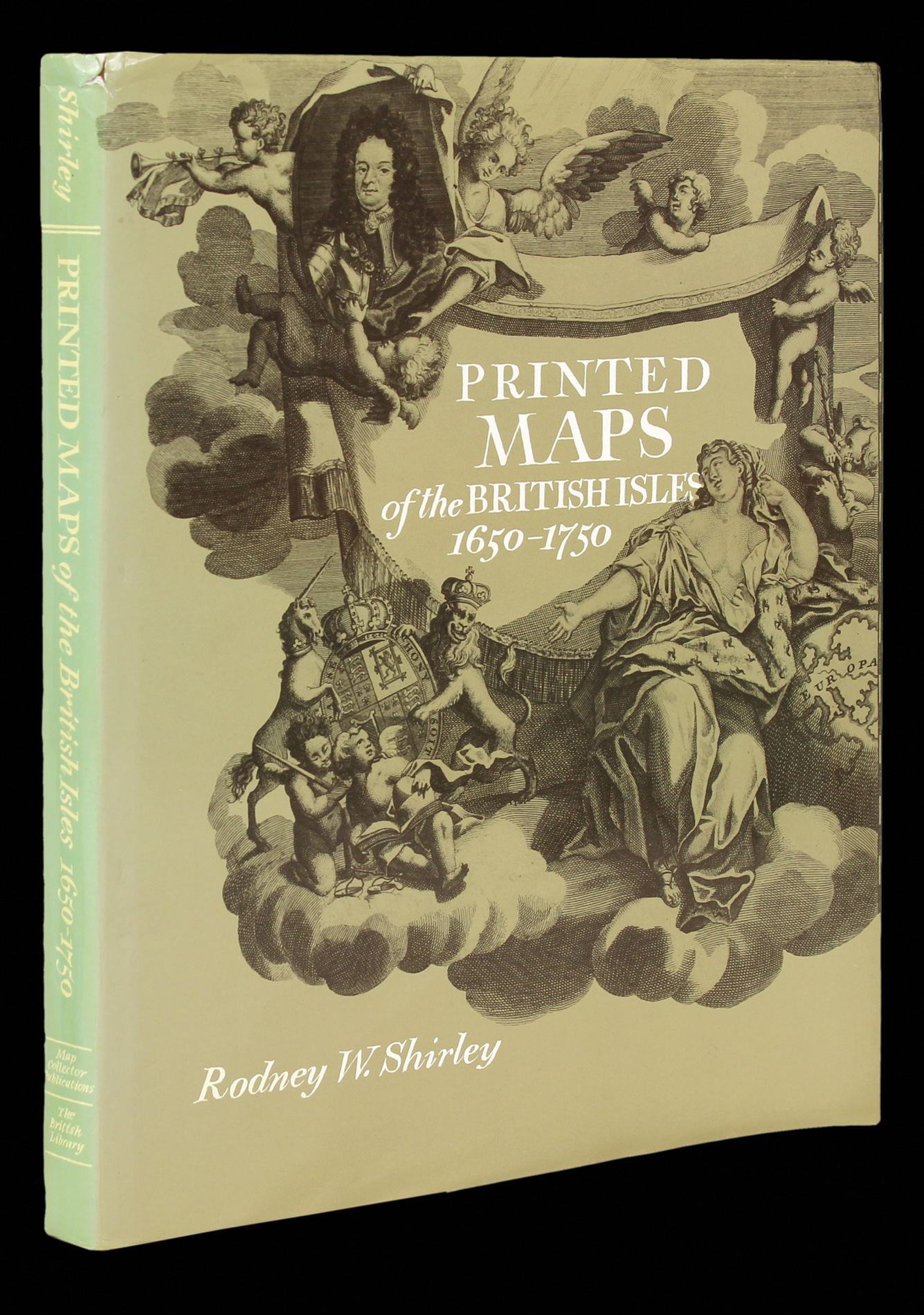
Printed Maps of the British Isles, 1650-1750
Tring, Hertfordshire
Map Collector Publications Ltd.,
1988.
Hardcover, 168 pages.
2046
notes:
A bibliographical study of over 280 general maps of the British Isles printed between 1650-1760, including antecedents, makers and engravers, topographical and decorative features, and successor states of each map.
...
bibliography:
provenance:


