This striking map depicts the Southeast Asia as envisaged by the second century A.D, cartographer Claudius Ptolemaeus, and is one of the earliest obtainable prints maps of the area. The map is labelled "India Extra Gangem" (India Beyond the Ganges). To the east of the Ganges Ptolemy marks the "Aurea regio" the kingdom of gold. Further down we come to the "Sinus Sabaricus" which is most probably the Gulf of Martban, whose eastern shores begin the Malay peninsular. The Malay ...
This striking map depicts the Southeast Asia as envisaged by the second century A.D, cartographer Claudius Ptolemaeus, and is one of the earliest obtainable prints maps of the area. The map is labelled "India Extra Gangem" (India Beyond the Ganges). To the east of the Ganges Ptolemy marks the "Aurea regio" the kingdom of gold. Further down we come to the "Sinus Sabaricus" which is most probably the Gulf of Martban, whose eastern shores begin the Malay peninsular. The Malay Peninsular would then be the small promontory marked "Curracherson", with the "Sinus Permimulicus" the Gulf of Siam. Although some have suggested that Curracherson is Sumatra. China is place to the east of the map "Sina Regio", and forms a eastern shore to a landlocked Indian Sea.
The map was published in the first atlas printed outside Italy and the first atlas illustrated with woodcut maps.
In 1482 Lienhart Holle in Ulm published a revised edition of Ptolemy's Geographia with the reworking of the Ptolemaic corpus by the cartographer Nicolaus Germanus Donis. The atlas included five additional "modern" maps: Italy, Spain, France, Scandinavia, and the Holy Land. The atlas would be the first book printed by Lienhart Holle, however, it would appear that the venture proved ruinously expensive and his business would go bankrupt shortly after publication. The remaining sheets, the woodblocks and the types passed to Johann Reger in Ulm, who reissued the work in 1486.
As well as the modern maps the atlas bears some other notable first. It was the first time that maps were signed by the artist responsible for the woodcutting; in this case Johannes of Armsheim, who signed the world map, and incorporated a backwards N into the woodcut text on each map. It is also the first to print the accompanying text on the verso of the map to which it refers. Another important feature of the Ulm editions is the introduction of the publisher's colouring upon the maps. Maps from 1482 usually have a rich blue colour in the sea which was replaced with a soft brown colour in 1486.
bibliography:
bibliography:
Camptell, T., 'Earliest Printed Maps', p. 179-210; Schreiber 5032; Skelton, R.A., Bibliographical note prefixed to the facsimile of the 1482 Ulm Ptolemy
 Trade card of Thomas Jefferys map and printseller
 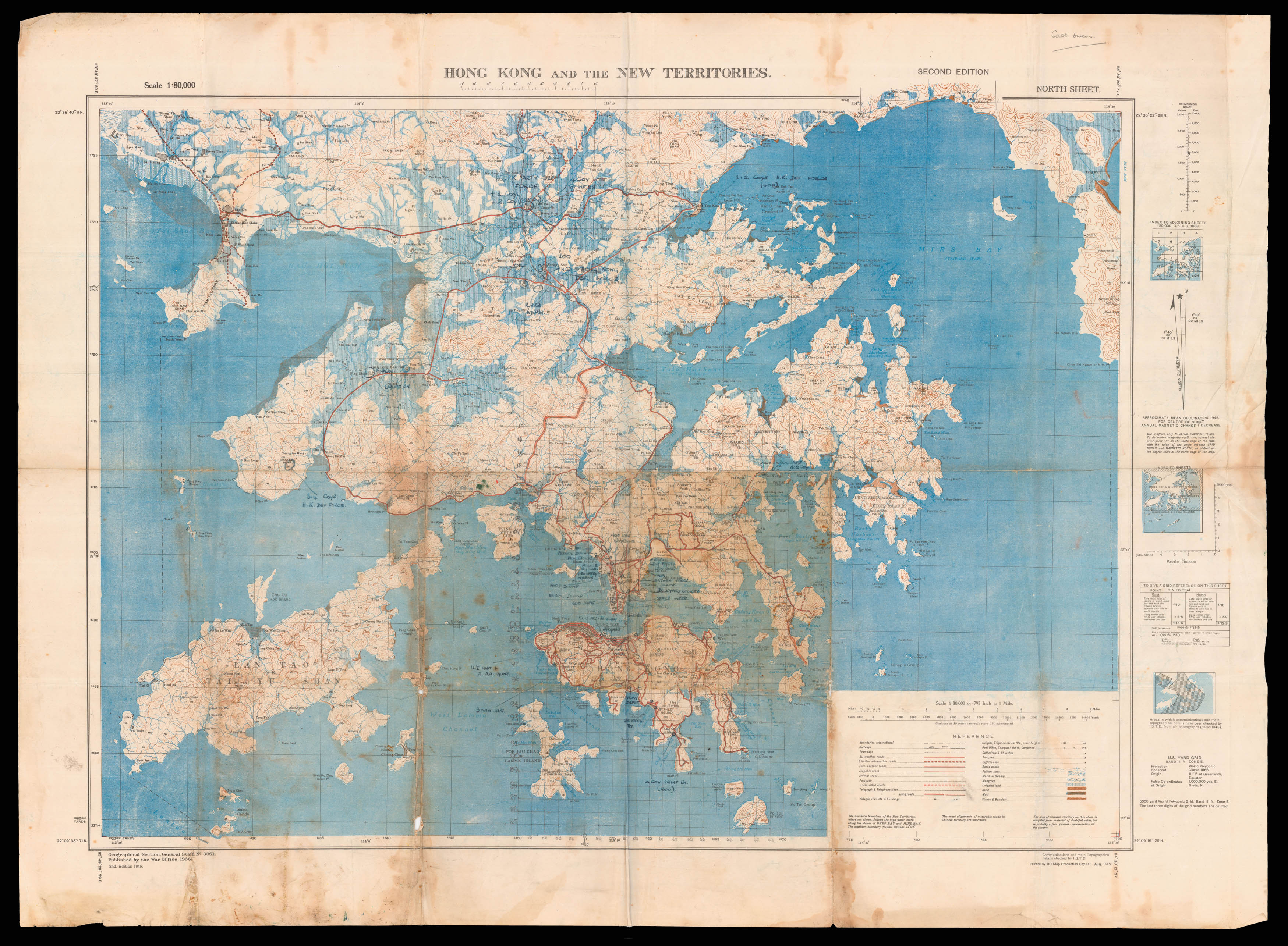 The liberation of Hong Kong from Japanese Occupation


![PTOLEMAEUS, Claudius [translated by ANGELUS, Jacobus, edited by GERMANUS, Nicolaus] Undecima Asie Tabula.](https://omega.crouchrarebooks.com/wp-content/uploads/2025/03/3114_1H.jpg)