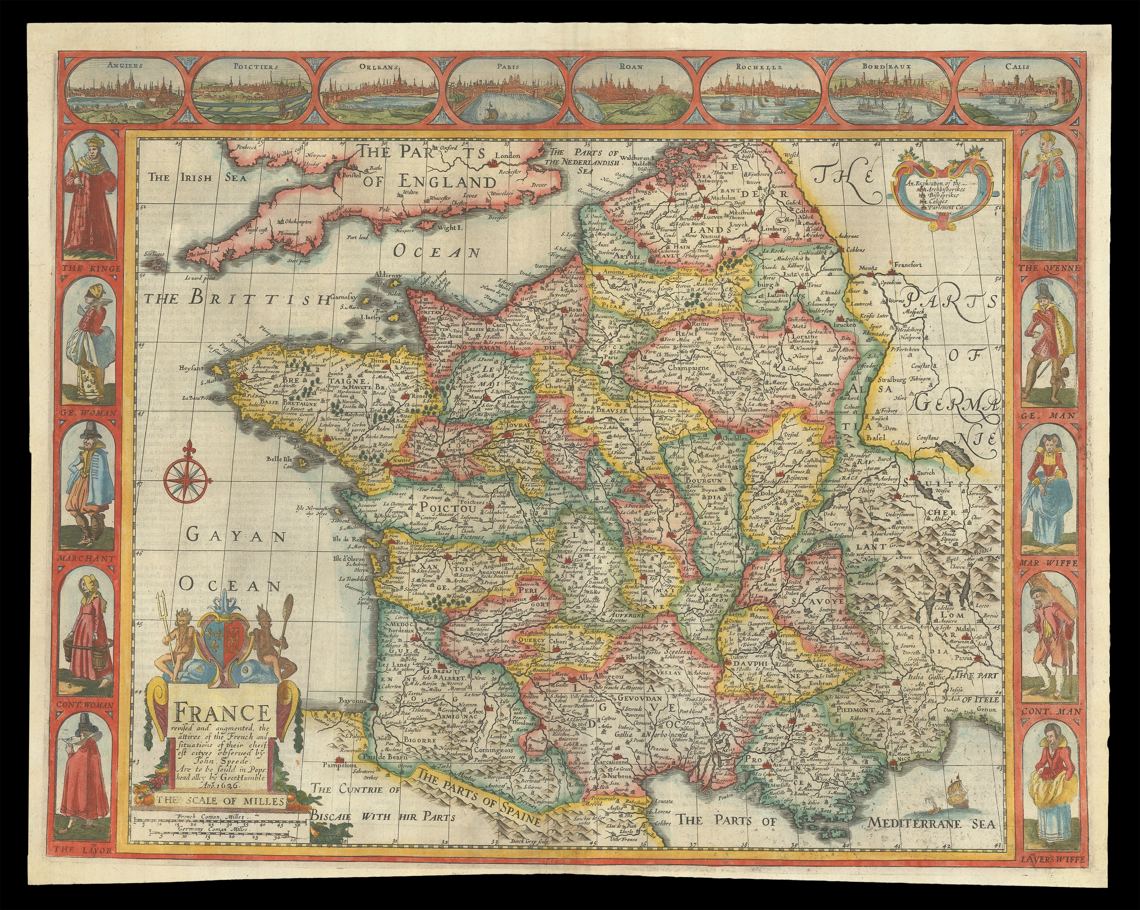
A map of France from the first atlas compiled and published by an Englishman, Speed's 'Prospect'. A decorative border along the top of the map depicts views of principal cities, among them Orleans, Paris, and Bordeaux. Along each side of the map are illustrated people of different classes: the King and Queen; a gentleman and gentlewoman; a merchant and his 'wiffe'; a countryman and countrywoman; and a labourer and his 'wiffe'.
Accompanying text in English, 'T...
A map of France from the first atlas compiled and published by an Englishman, Speed's 'Prospect'. A decorative border along the top of the map depicts views of principal cities, among them Orleans, Paris, and Bordeaux. Along each side of the map are illustrated people of different classes: the King and Queen; a gentleman and gentlewoman; a merchant and his 'wiffe'; a countryman and countrywoman; and a labourer and his 'wiffe'.
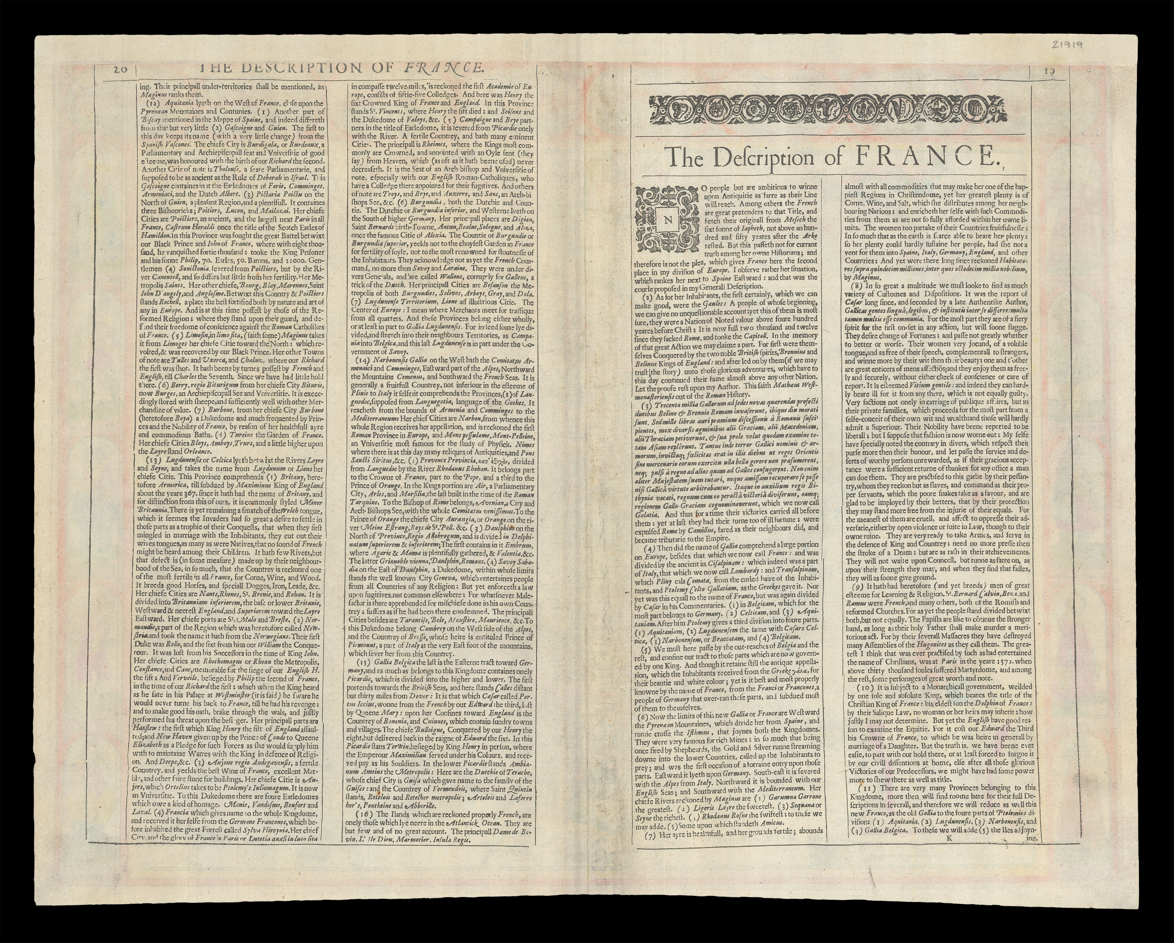
Accompanying text in English, 'The Description of France', is printed on the reverse.
John Speed (1552-1629) was the outstanding cartographer of his age. By trade a merchant tailor, but by proclivity a historian, it was the patronage of Sir Fulke Greville, poet and statesman, that allowed him to pursue this interest in earnest. His 'Theatre of Great Britain', first published in 1611 or 1612, was the first large-scale printed atlas of the British Isles. The 'Prospect of the Most Famous Parts of the World', from which the present work is drawn, appeared in 1627, bound with the 'Theatre', and is the first world atlas compiled by an Englishman to be published in England. Engraved in Amsterdam, many of the maps are anglicized versions of works by Dutch makers in distinctive carte-à-figure style, featuring borders with figures in local costume and city views.