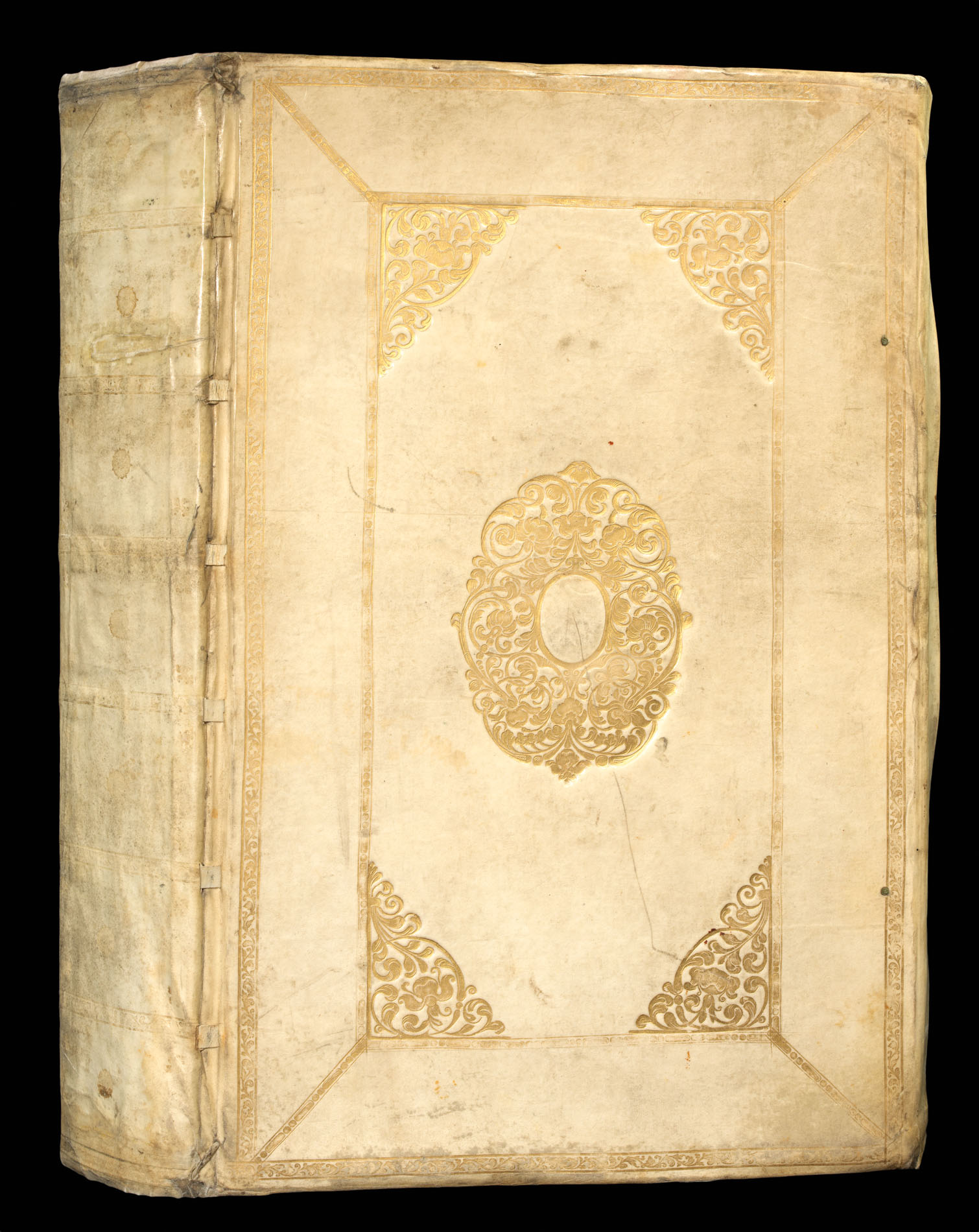
Folio atlas (510 by 330mm), title, German text, 64 double page engraved maps (extra illustrated with eight extra maps), all with fine original hand-colour in outline, publisher's vellum gilt with yapp fore-edges, covers panelled with stylised foliate roll, and large centre and corner arabesques, gilt edges, spine divided into seven compartments by horizontal rolls, decorated with fleur-de-lys corner pieces around a central rose tool.
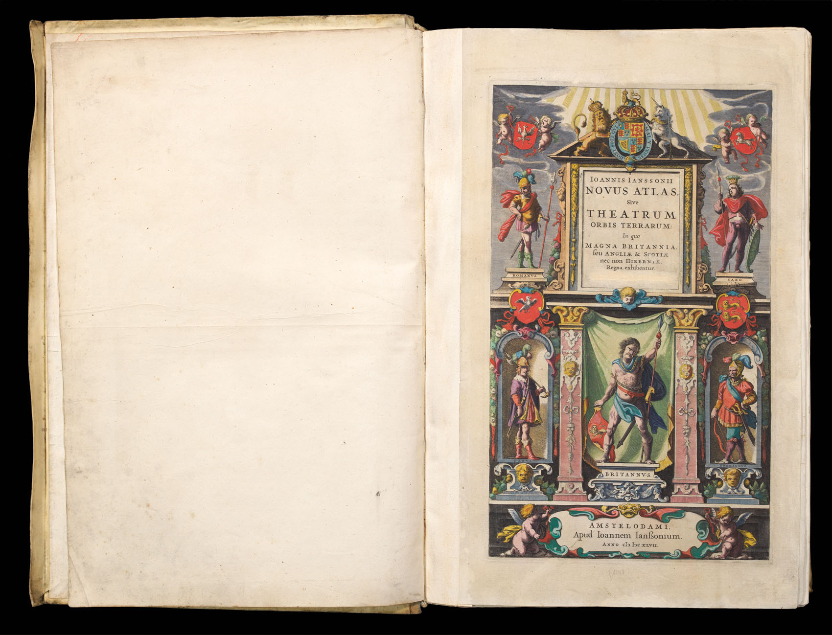
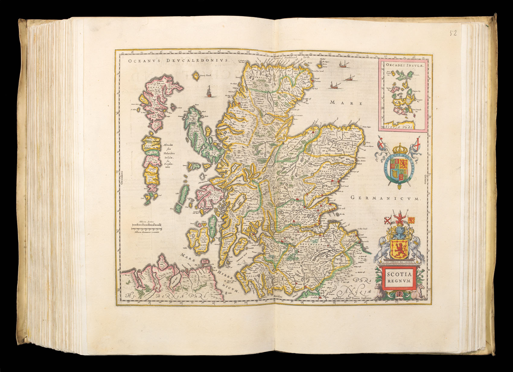
In 1646 Janssonius published his atlas of the British Isles, in response to his great rival Joan Blaeu publishing his atlas of England and Wales in the previous year. The work consisted of 48 maps of England and Wales together with three maps of Scotland, and five of Ireland. Jansson began work on the atlas in around 1640, for which he already had some 18 plates available. In 1644 he published 11 new English county maps in a Dutch appendix to the Atlas: but in spite of this...
In 1646 Janssonius published his atlas of the British Isles, in response to his great rival Joan Blaeu publishing his atlas of England and Wales in the previous year. The work consisted of 48 maps of England and Wales together with three maps of Scotland, and five of Ireland. Jansson began work on the atlas in around 1640, for which he already had some 18 plates available. In 1644 he published 11 new English county maps in a Dutch appendix to the Atlas: but in spite of this lead his volume was not ready when Blaeu's appeared in 1645 (without however any maps of Scotland or Ireland).
The majority of the maps in the atlas are based upon John Speed with ten copied from Joan Blaeu. The cartographic features are generally as in Speed's maps; with hundreds but no roads; Speed's town plans and symbols for battles are omitted.
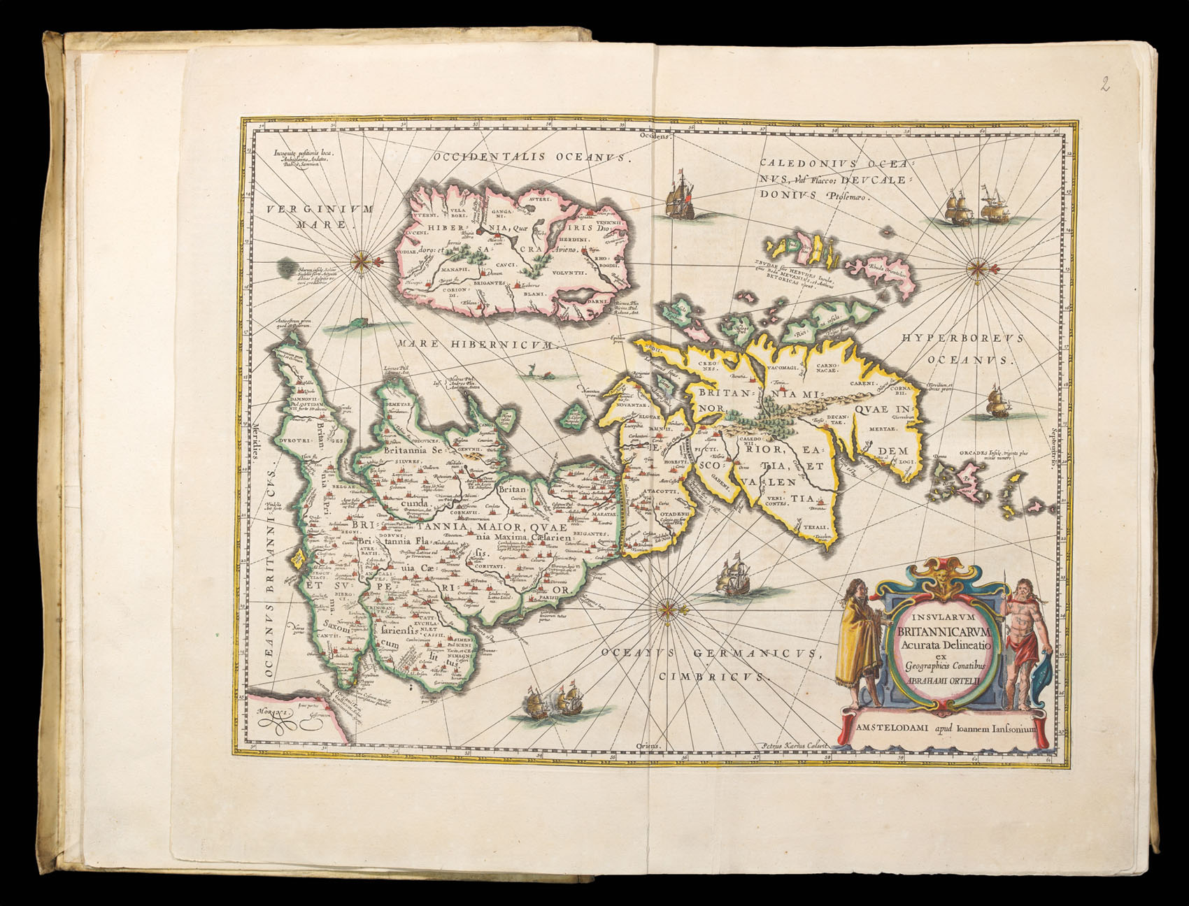
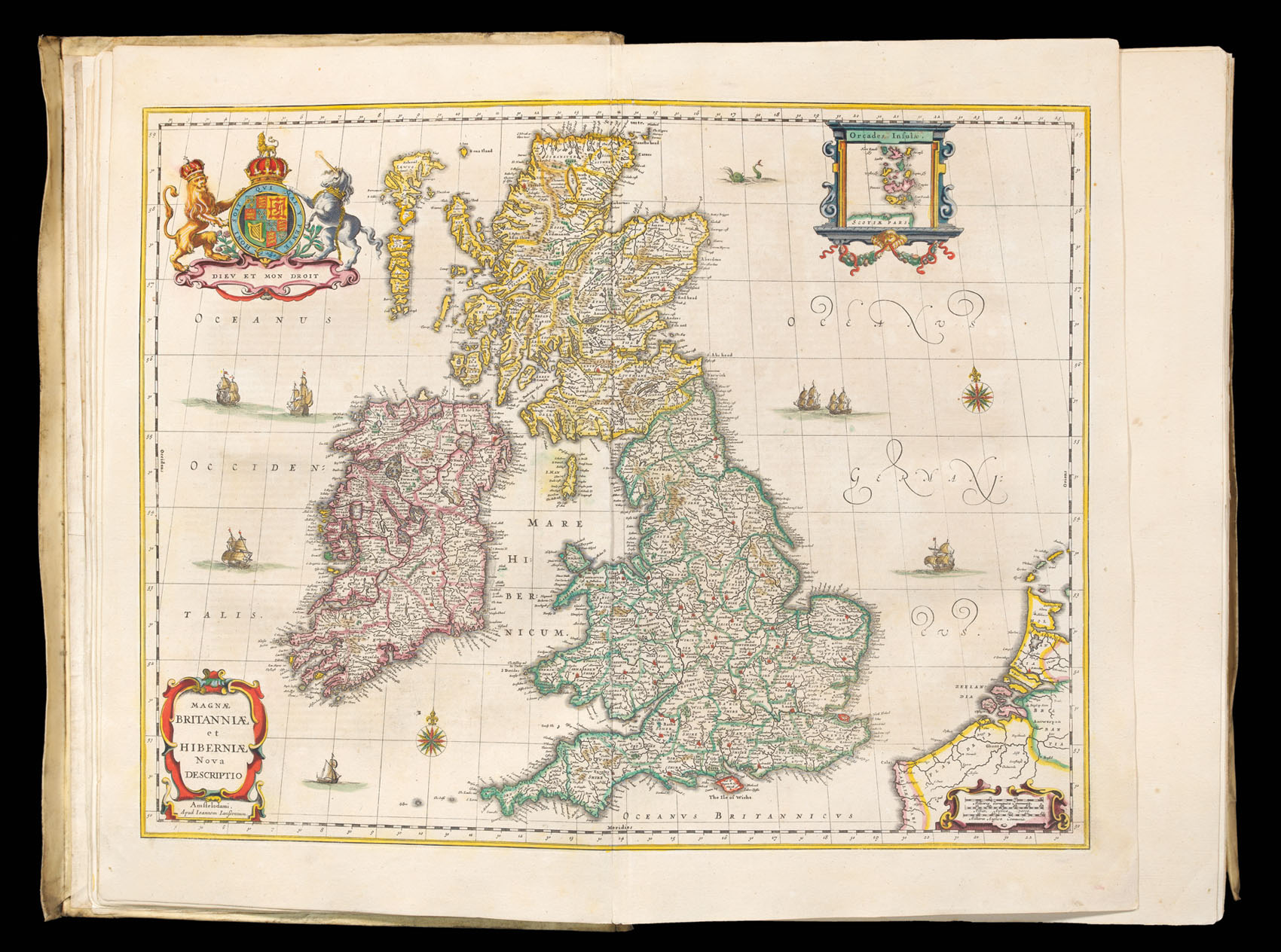
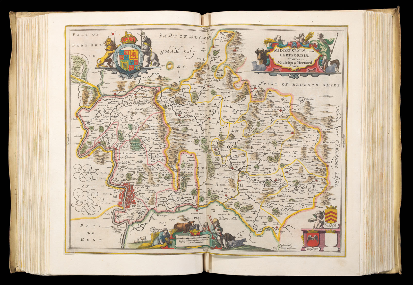
The present example bears German text, and is extra illustrated with eight additional maps; a map of Middlesex and Hertfordshire; Yorkshire; and six maps of Scotland and her Islands. The six maps of Scotland (all of which are blank on the verso), were incorporated into Dutch and German examples published in 1659. The last edition of the atlas published before Janssonius' death in 1664.
List of extra maps
1. Midldelsexiae cum Hertfordiae comitatu, Midlesex & Hertford Shire. 2. Ducatus Eboracensis. Anglice Yorkshire. 3. [Scotland] Scotiae Provintiae; Inter taurn fluvium et sptentrionales oras Angliae. 4. [Scotland] Scotiae Provinciae intra Flumen Taum... 5. [Scotland] Extimae Scotiae pars Septentrionalis, in qua Provinciae... 6. [Scotland] Lorna, Knapdalia, Cantire, Iura, Ila, Glota et Buthe Insulae. 7. [Scotland] Tabula Leogi et Haraiae ac Skiae vel Skianae Insularum. 8. [Scotland] Lochabria omnesq, Insulae versus Occidentem sitae ut Visto Mussa alicaeque.
bibliography:
bibliography:
Van der Krogt, 1:427C (6); Skelton County Atlases 66.