A map showing Paris and the surrounding area under its jurisdiction, based on the work of the French cartographer Guillaume Delisle (1675-1726), the leading mapmaker of his time. France and Britain had recently signed a truce after the end of the War of the Spanish Succession, sealed by the Treaty of Utrecht in 1713. France was still under the absolute rule of Louis XIV, the 'Sun King'; he would die in 1715, two years after this map was published. Visible to the left of Par...
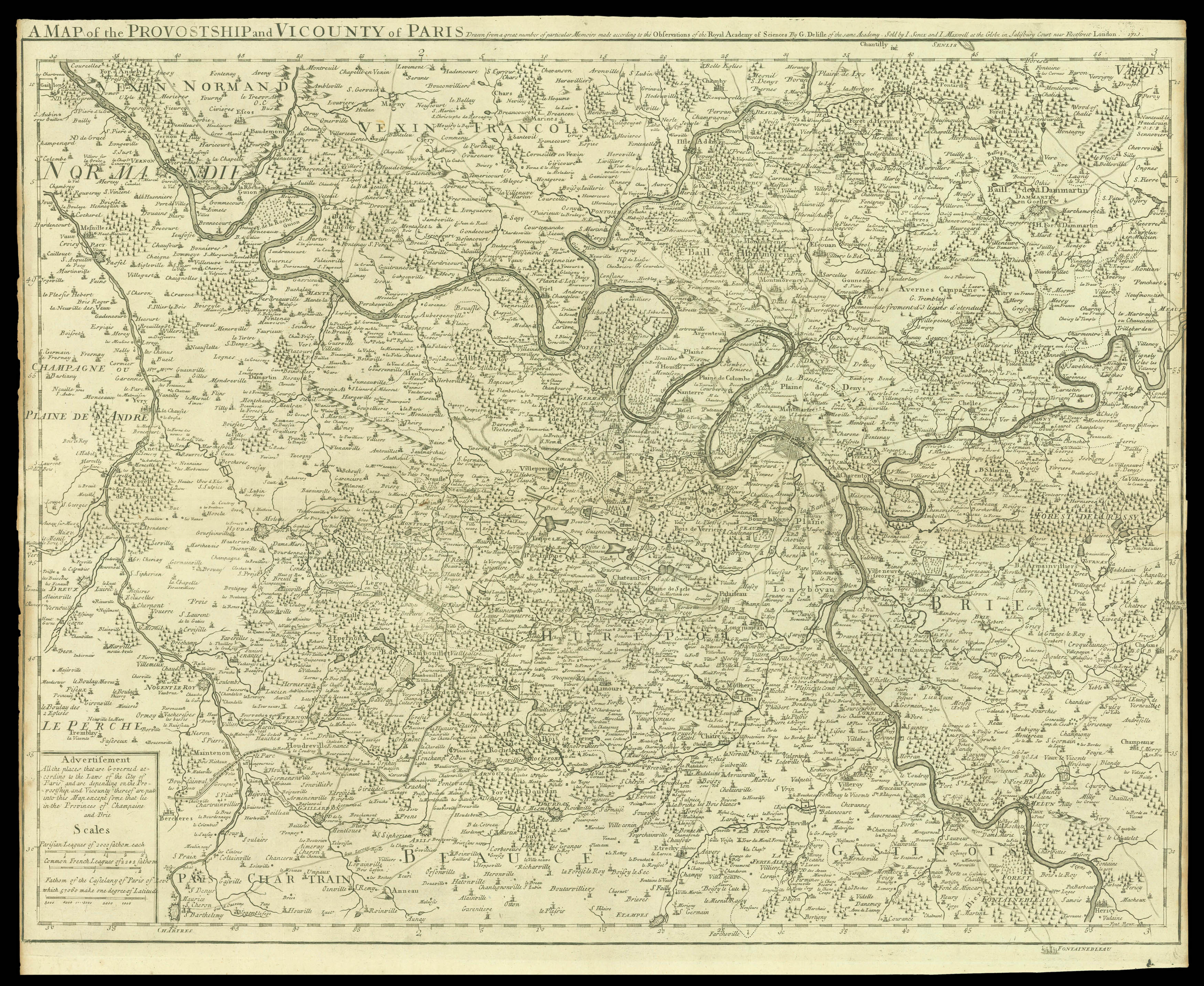
A map showing Paris and the surrounding area under its jurisdiction, based on the work of the French cartographer Guillaume Delisle (1675-1726), the leading mapmaker of his time. France and Britain had recently signed a truce after the end of the War of the Spanish Succession, sealed by the Treaty of Utrecht in 1713. France was still under the absolute rule of Louis XIV, the 'Sun King'; he would die in 1715, two years after this map was published. Visible to the left of Paris are the enormous cruciform canals created as part of the ornamental gardens at Versailles, the chateau Louis began building in 1682 which moved the seat of royal power outside Paris for the next century.