-
×
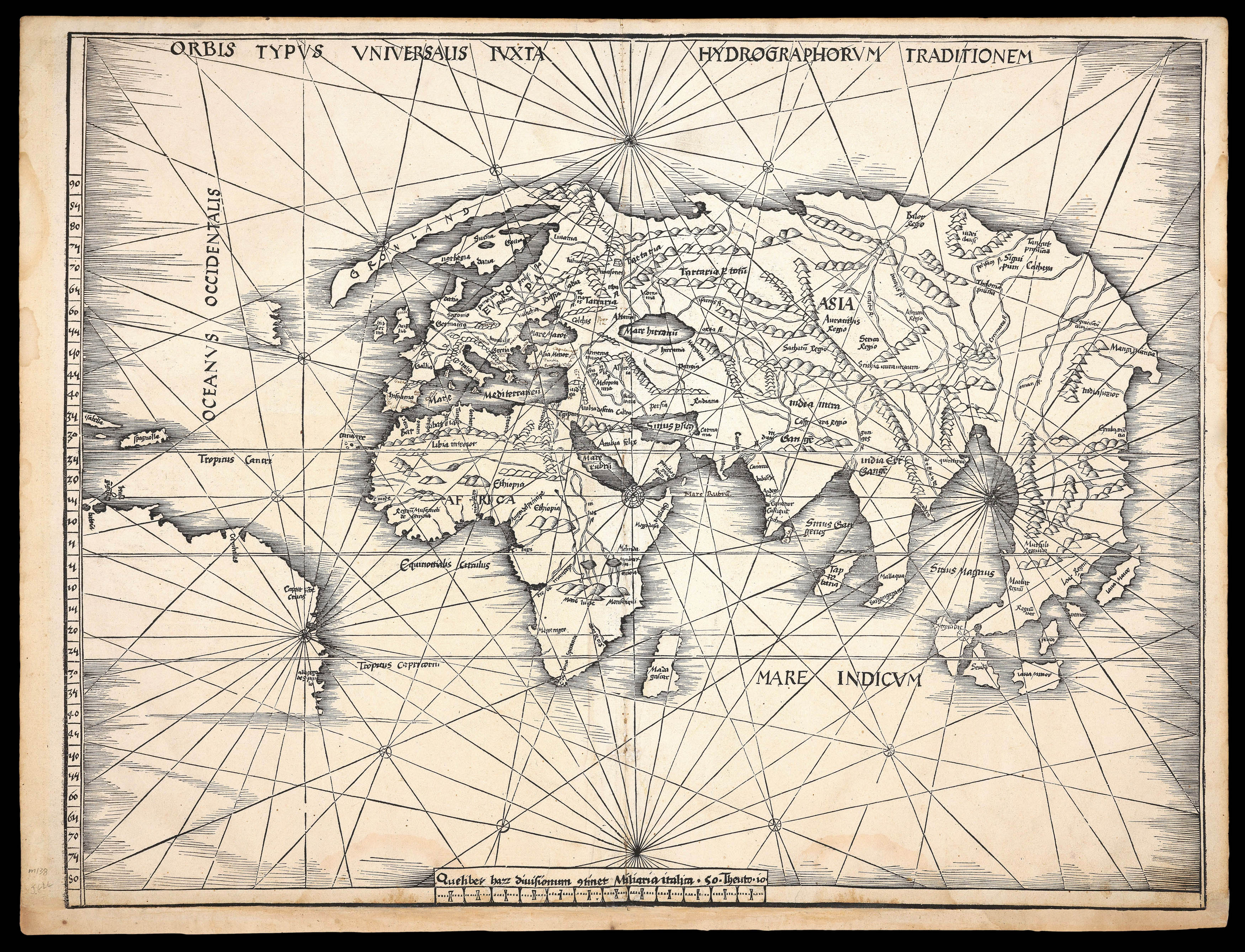 The Admiral's map
1 × £80,000
The Admiral's map
1 × £80,000 -
×
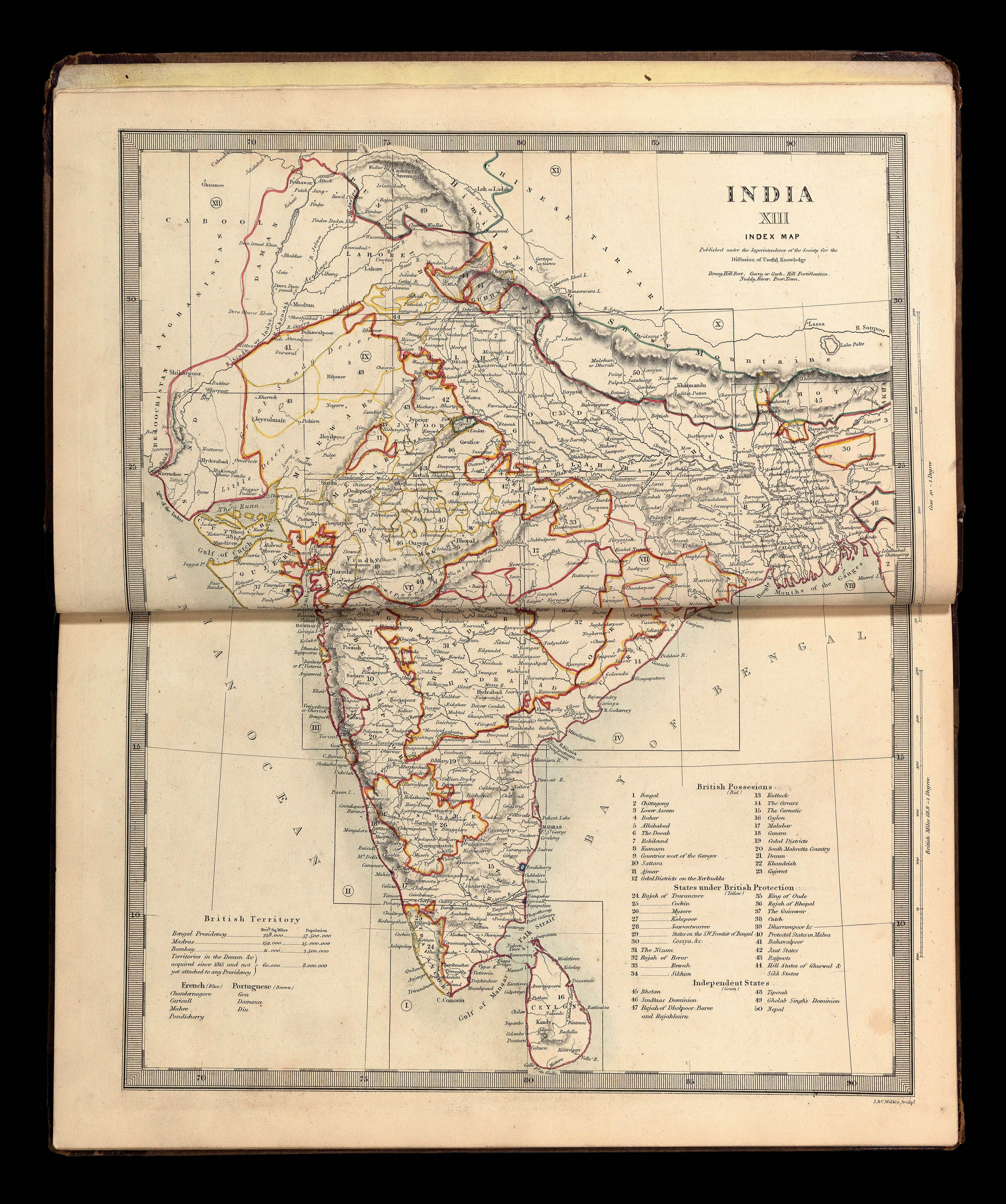 Rare atlas of India and the Far East
1 × £3,000
Rare atlas of India and the Far East
1 × £3,000

Rare Maps

Rare Atlases

Rare Books

Rare Prints

