Wenceslaus Hollar's plan of "London before the fire in 1666" extends from Westminster eastwards to Stepney and from St George's Fields in the south up to Clerkenwell in the north. The central city is packed with buildings that would soon be destroyed in the Great Fire, as shown on many of Hollar's other maps, plans and views. Here they all remain intact and many are identified by either the alphabetical key on the left (a-z) or the numerical key on the right (1-45). The pr...
Wenceslaus Hollar's plan of "London before the fire in 1666" extends from Westminster eastwards to Stepney and from St George's Fields in the south up to Clerkenwell in the north. The central city is packed with buildings that would soon be destroyed in the Great Fire, as shown on many of Hollar's other maps, plans and views. Here they all remain intact and many are identified by either the alphabetical key on the left (a-z) or the numerical key on the right (1-45). The present example is the fourth state, which was included as an illustration in Blome's 'Britannia' (1673) and is bordered by sixteen coats of arms of the City companies, which were not etched by Hollar. Interestingly, it has also been re-titled in French.
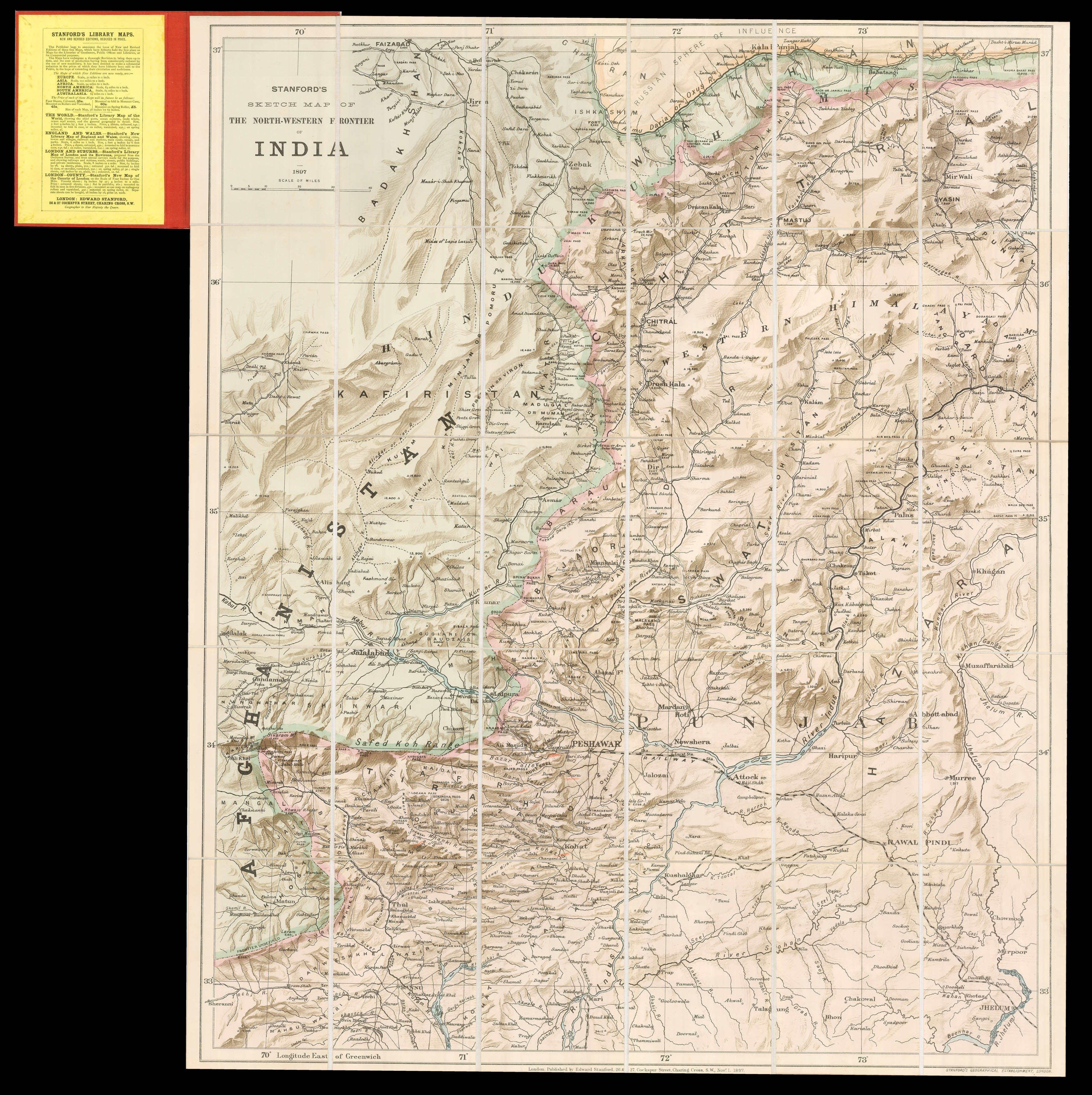 Stanford's map of North West India
1 × £1,200
Stanford's map of North West India
1 × £1,200


![HOLLAR, W[enceslaus] Plan de Londres tel quil etoi avant l'incendie de 1666 grave par Hollar](https://omega.crouchrarebooks.com/wp-content/uploads/2025/03/18351_1H.jpg)