|
× |
![ANONYMOUS 東國輿誌 [동국여지 - Geographical depiction of the Eastern country - Korea]](https://omega.crouchrarebooks.com/wp-content/uploads/2025/03/19466_1H.jpg) |
Manuscript map of Korea showing Dokdo
1 x
£50,000
|
£50,000 |
|
£50,000 |
|
× |
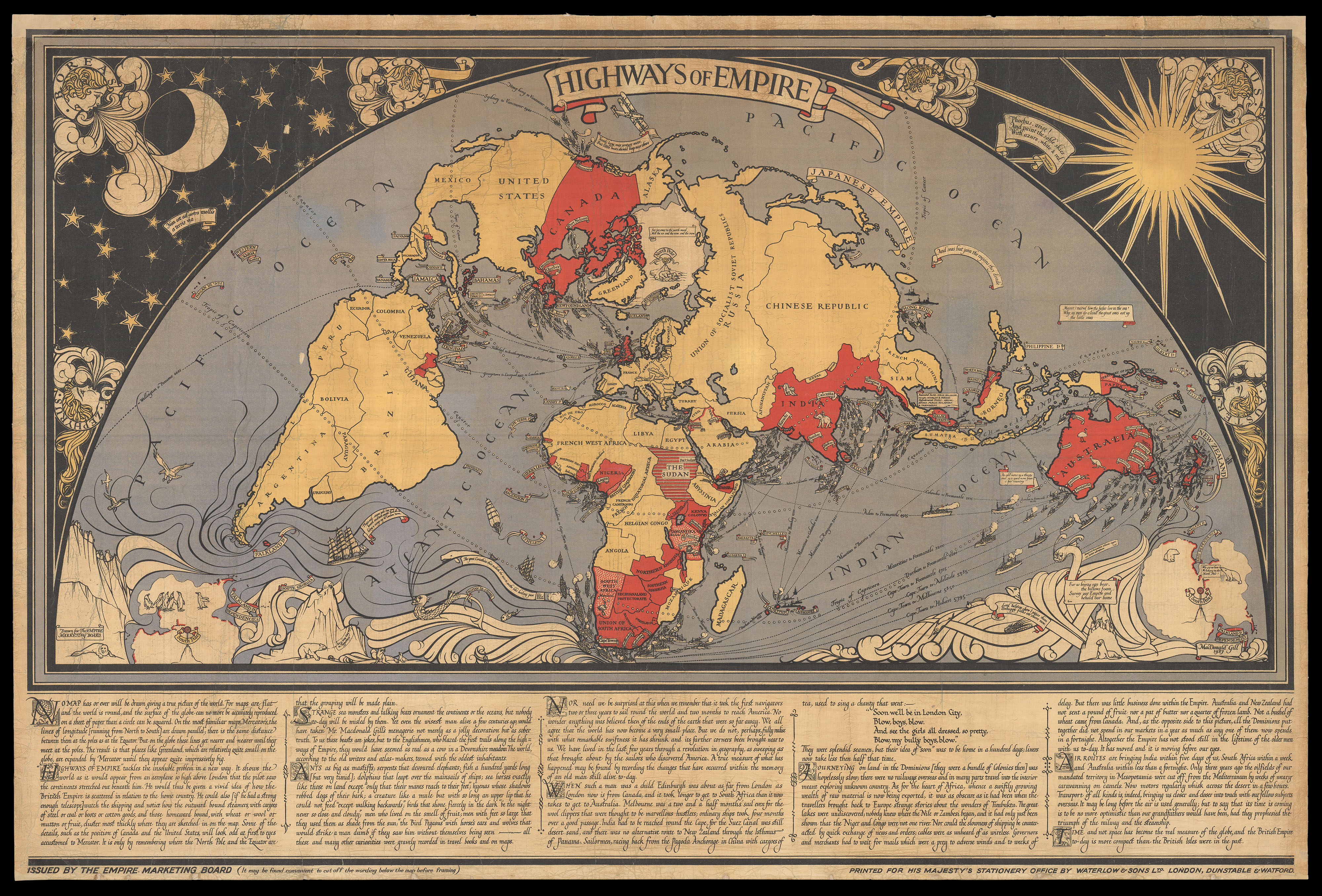 |
So striking "as to cause congestion of the highways of London"
1 x
£10,000
|
£10,000 |
|
£10,000 |
|
× |
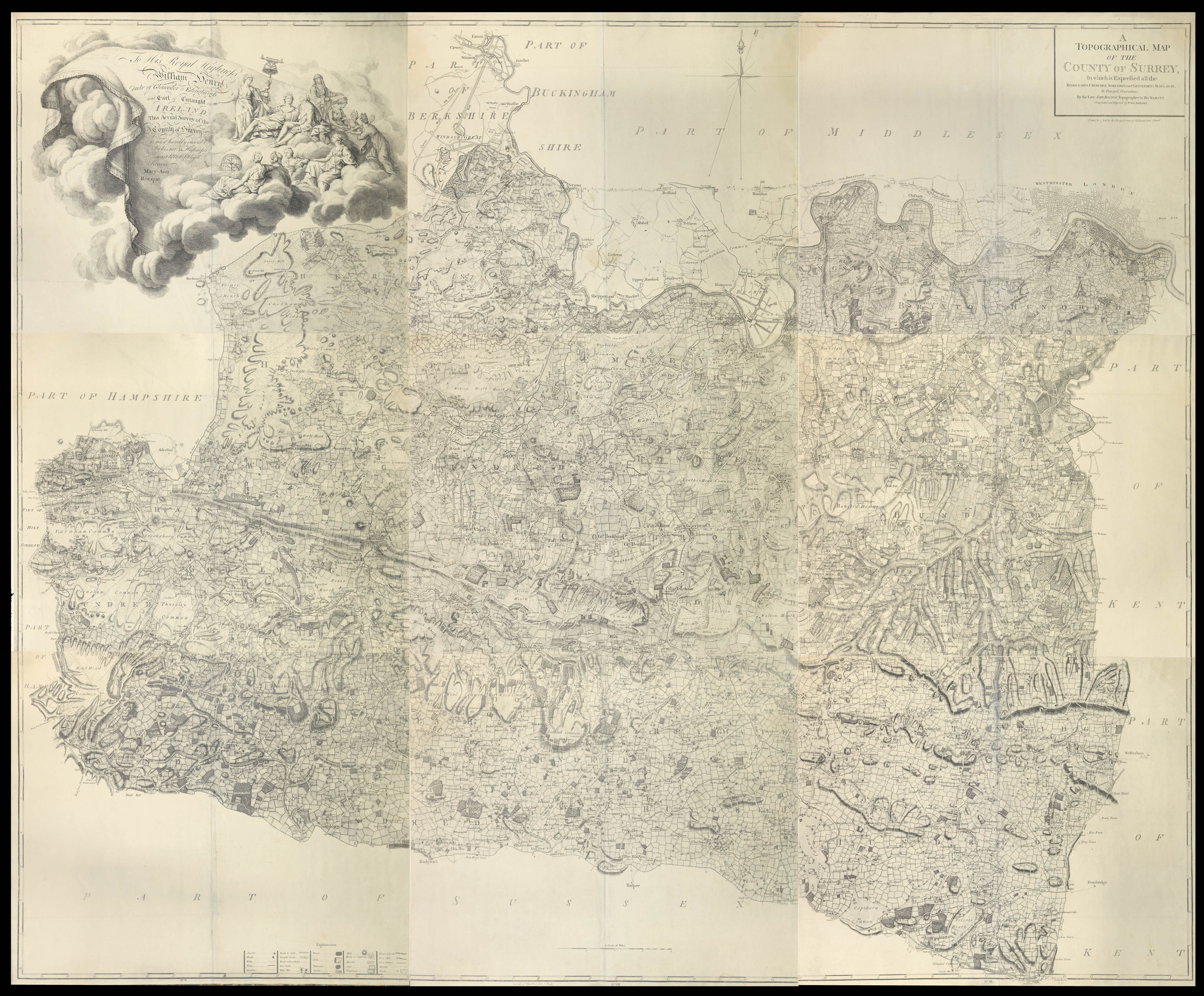 |
Surrey - The first large-scale survey of Surrey
1 x
£4,500
|
£4,500 |
|
£4,500 |
|
× |
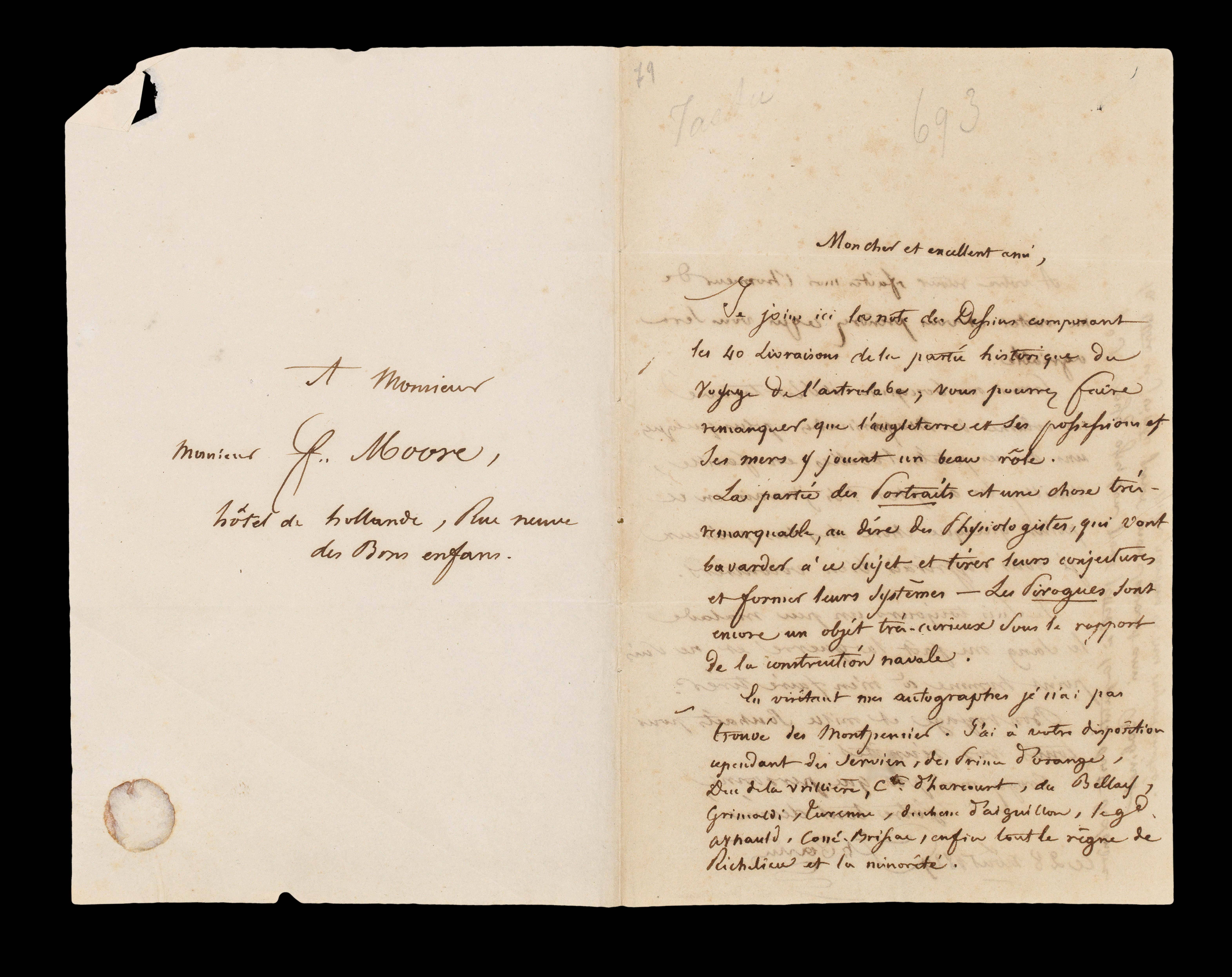 |
The distribution of Dumont d'Urville's Astrolabe voyage
1 x
£7,500
|
£7,500 |
|
£7,500 |
|
× |
![HAGHE, L[ouis] Fishmongers' Hall, London.](https://omega.crouchrarebooks.com/wp-content/uploads/2025/03/12345_1H.jpg) |
Fishmonger's Hall
1 x
£1,200
|
£1,200 |
|
£1,200 |
|
× |
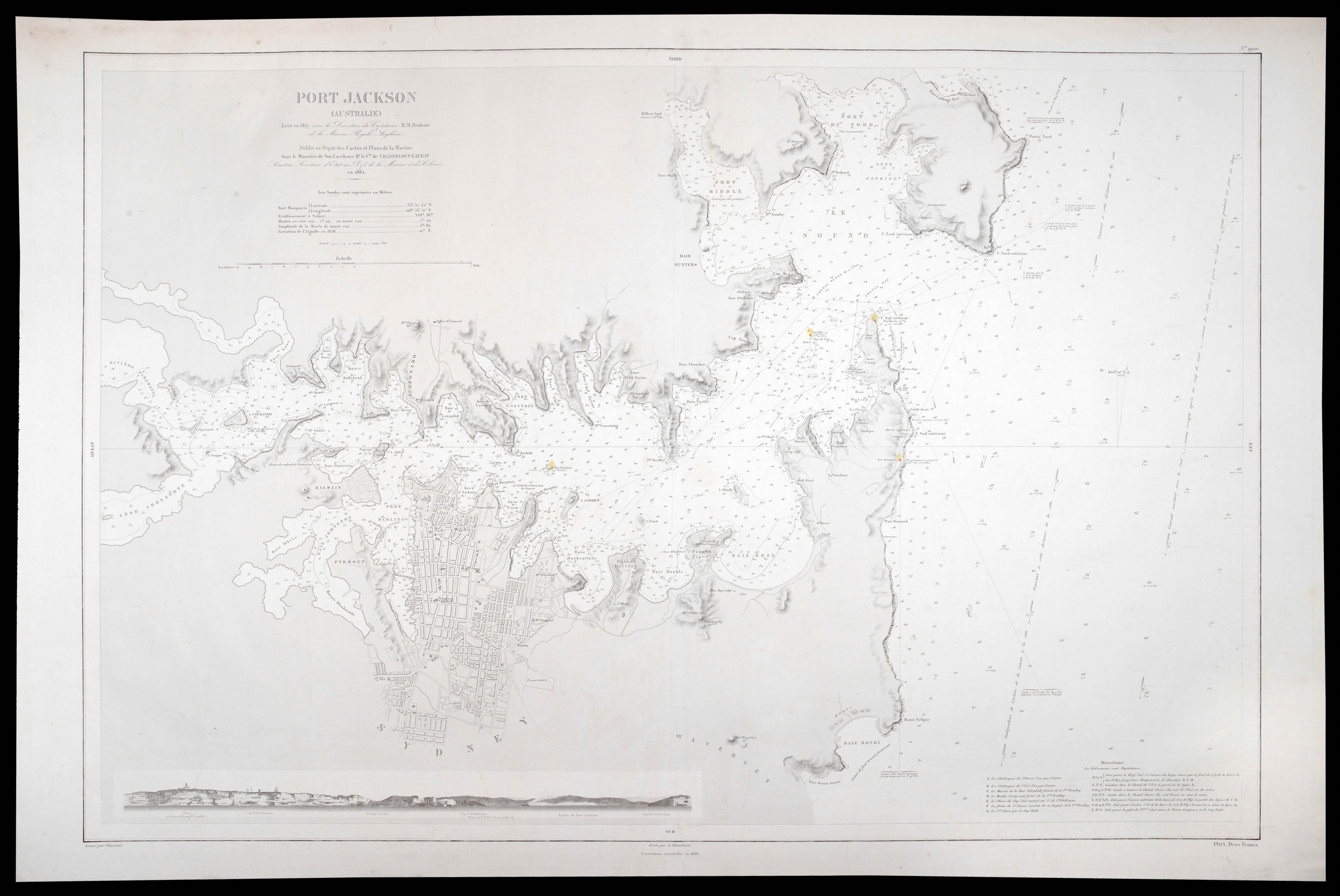 |
Sydney Harbour during the Gold Rush
1 x
£7,000
|
£7,000 |
|
£7,000 |
|
× |
 |
Precipitous prospectus for Lewis and Clark's monumental work,... a whole seven years before it was finally published
1 x
£2,500
|
£2,500 |
|
£2,500 |
|
× |
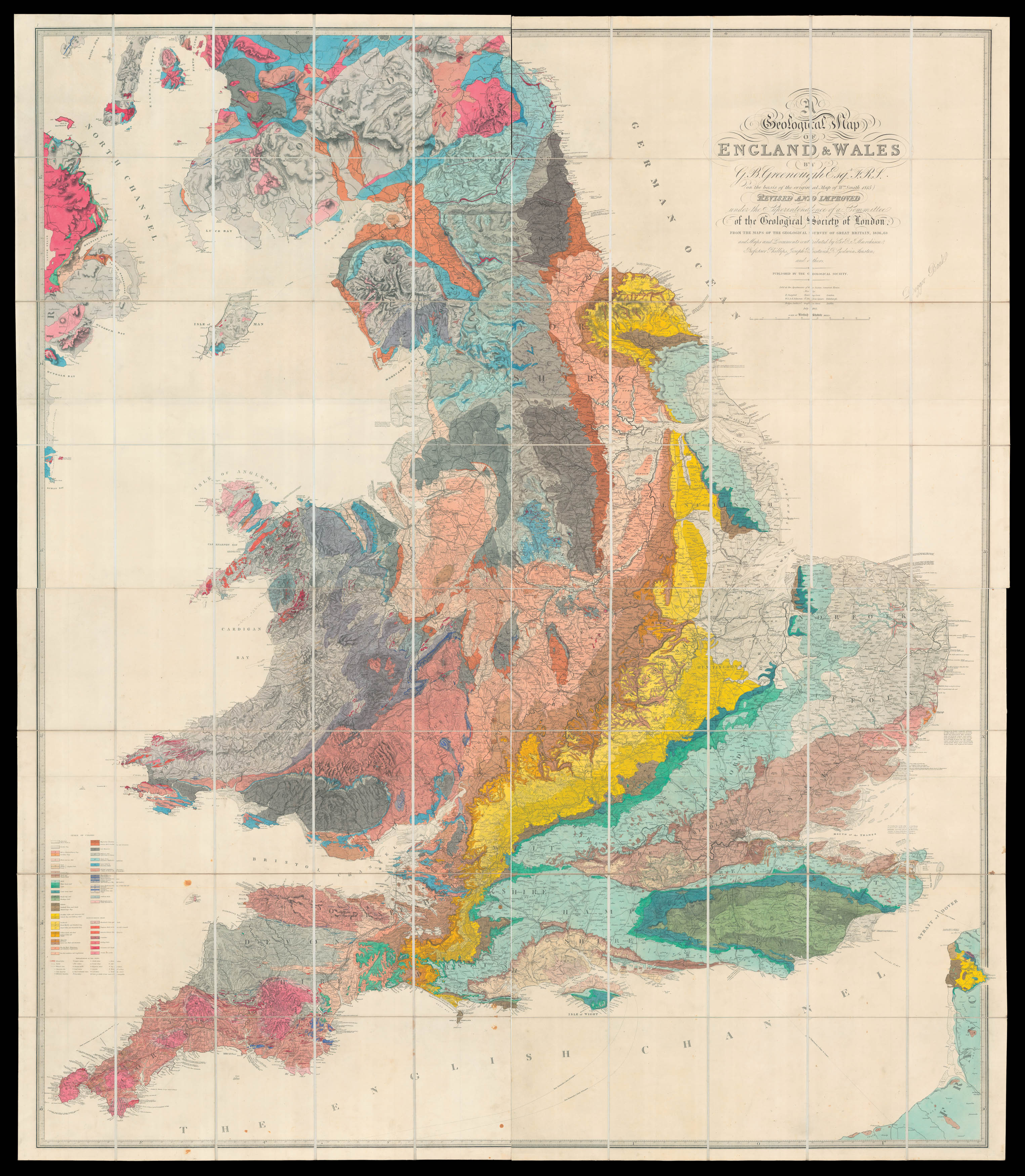 |
Greenough recognises his debt to William Smith
1 x
£18,500
|
£18,500 |
|
£18,500 |
|
× |
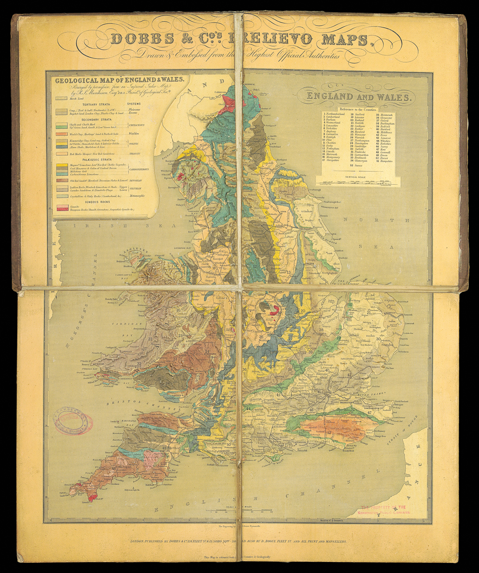 |
Rare Embossed Geological map of England and Wales
1 x
£4,000
|
£4,000 |
|
£4,000 |
|
× |
![KEELY, Patrick Cokayne Indie Moet Vrij! [The Indies Shall Be Freed!]](https://omega.crouchrarebooks.com/wp-content/uploads/2025/03/2528_1H.jpg) |
The Indies Shall Be Freed!
1 x
£2,500
|
£2,500 |
|
£2,500 |
|
× |
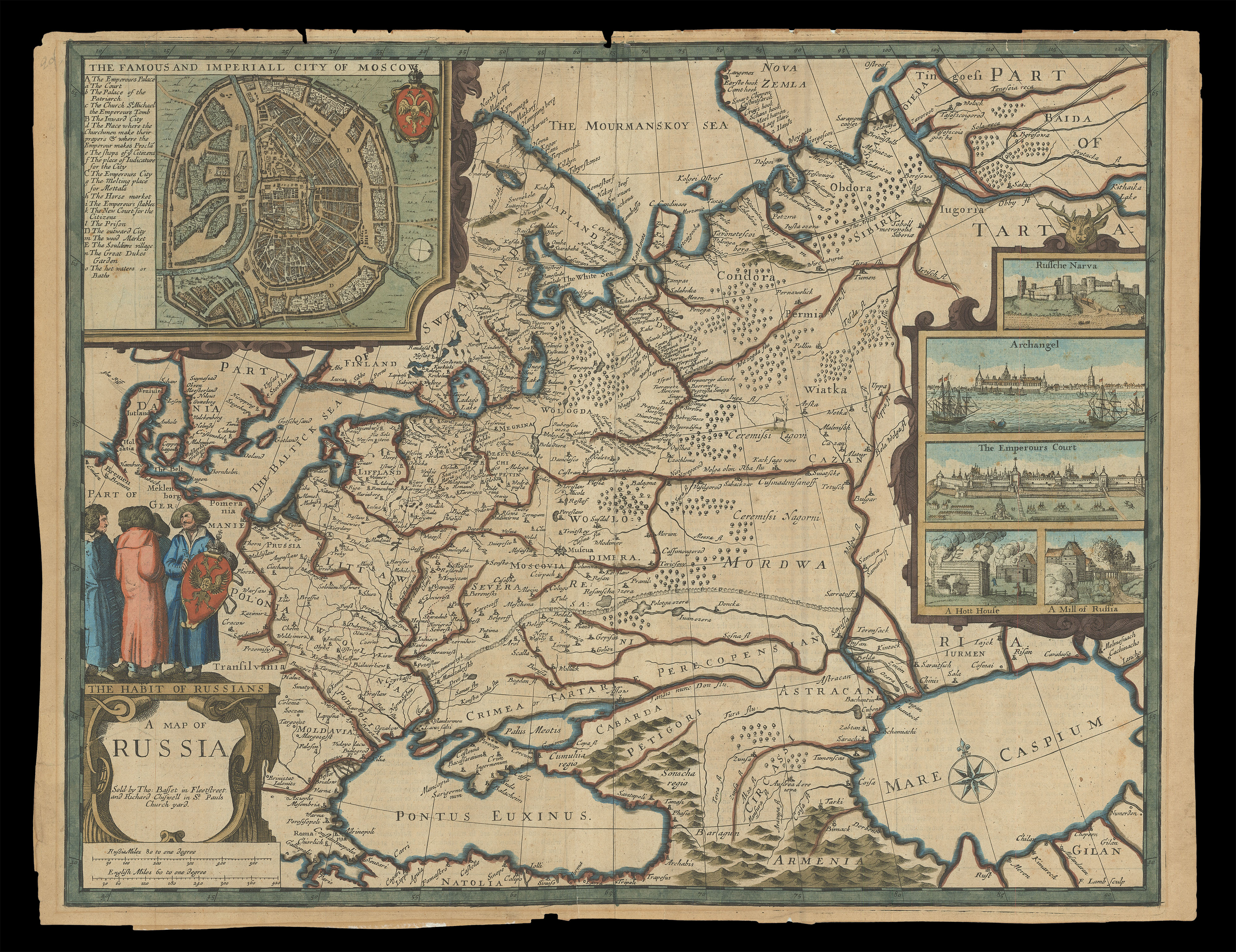 |
Speed's map of Russia
1 x
£2,000
|
£2,000 |
|
£2,000 |
|
× |
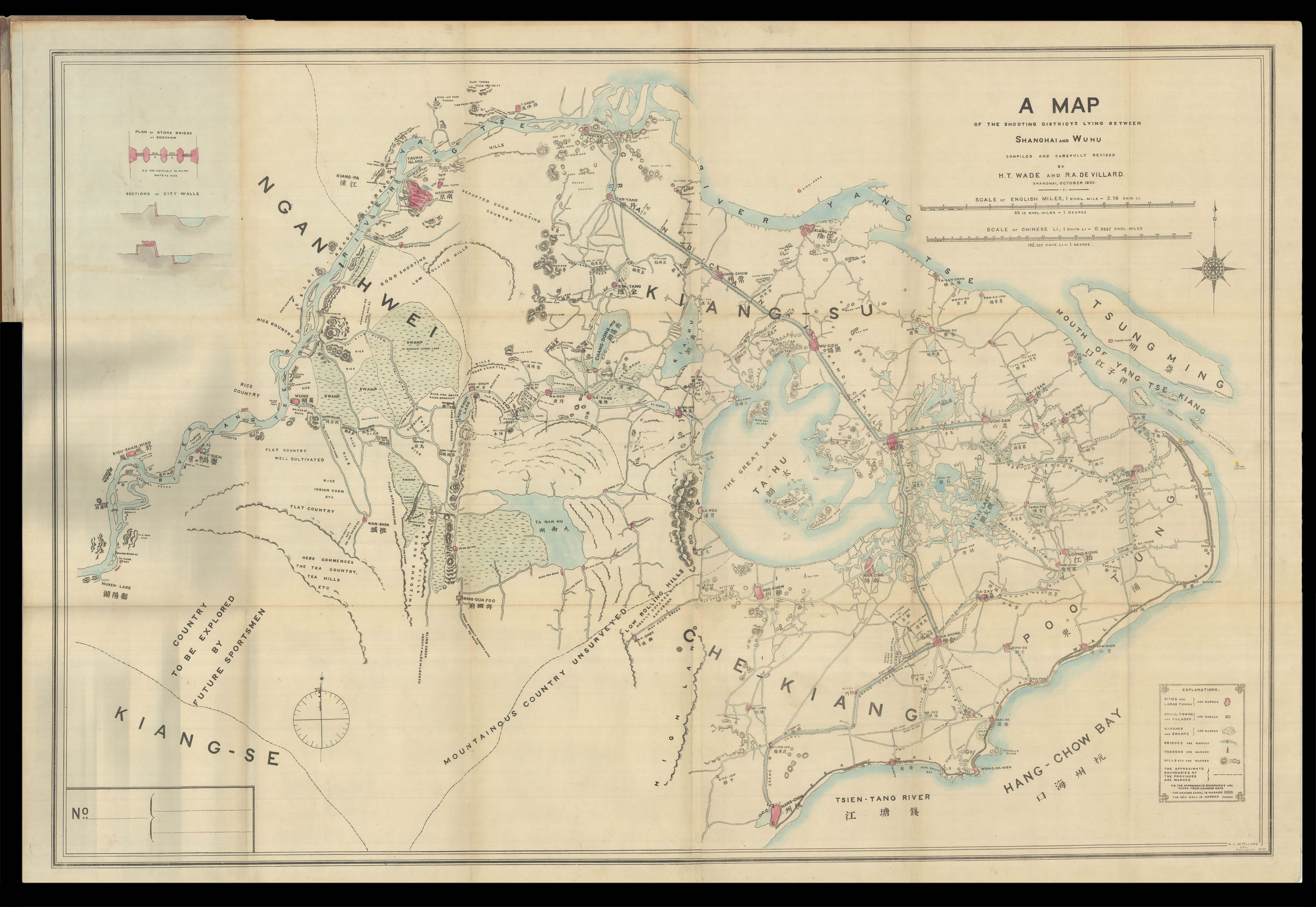 |
The author's copy of the plan of Shanghai
1 x
£5,500
|
£5,500 |
|
£5,500 |
|
× |
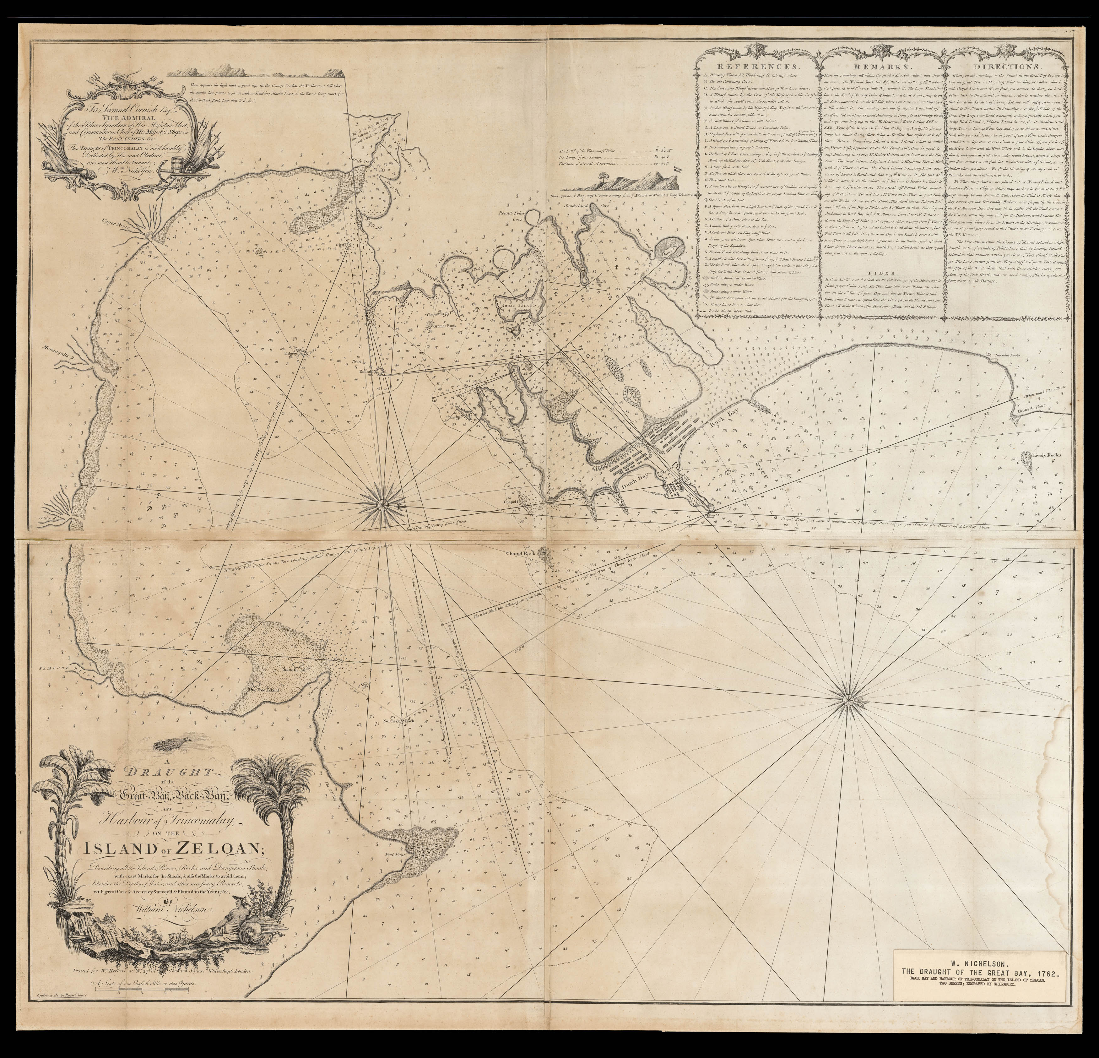 |
Rare eighteenth-century chart of Northeastern Sri Lanka
1 x
£2,500
|
£2,500 |
|
£2,500 |
|
× |
![?[CHAMPANTE AND WHITROW] [Jigsaw map of the world]](https://omega.crouchrarebooks.com/wp-content/uploads/2025/03/15004_1H-3.jpg) |
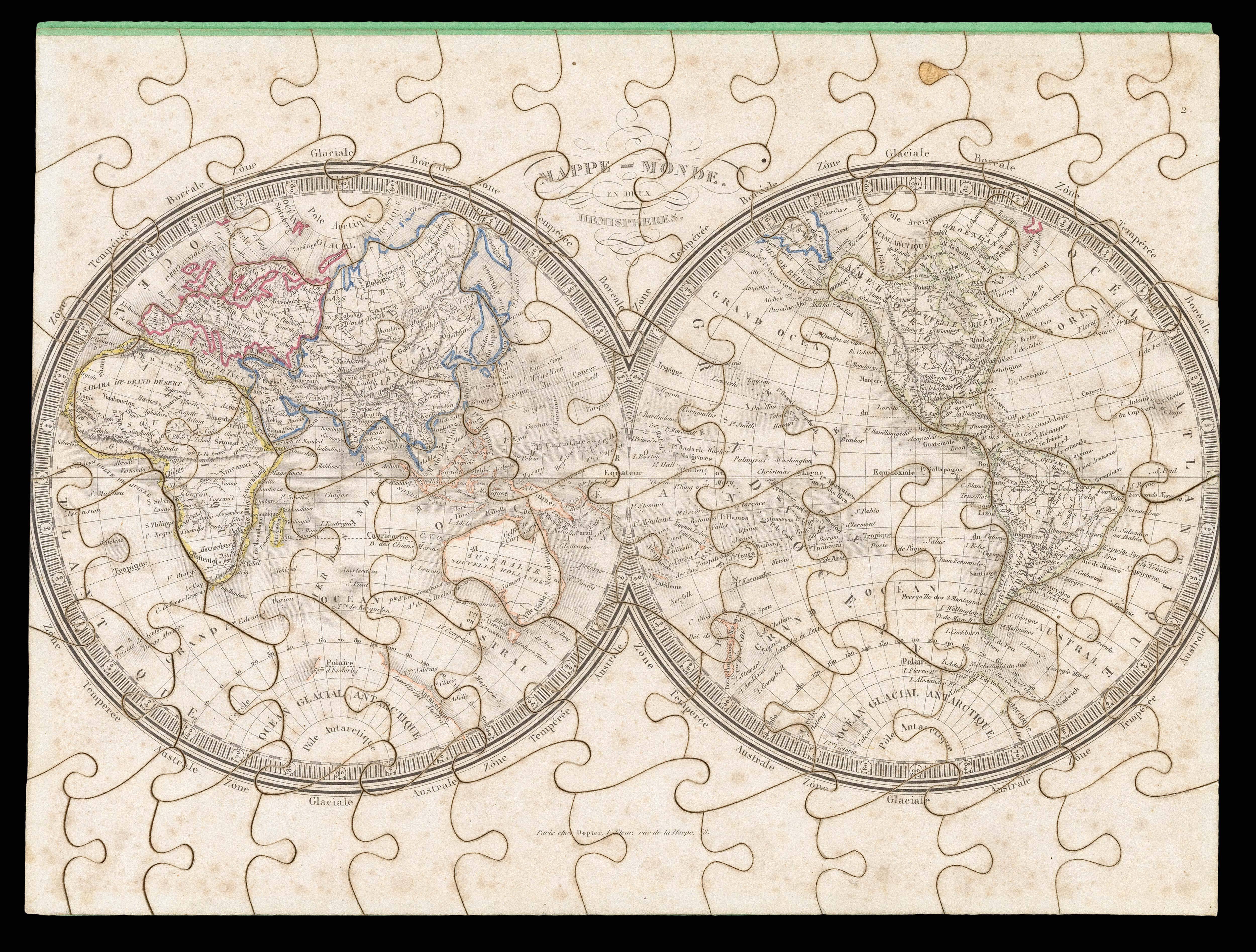
Double hemisphere puzzle map
1 x
£1,000
|
£1,000 |
|
£1,000 |
|
× |
![GEOLOGICAL SURVEY OF KOREA [and] GEOLOGICAL SOCIETY OF KOREA Geologic Map of Korea](https://omega.crouchrarebooks.com/wp-content/uploads/2025/03/22166_1H.jpg) |
The first Geological Map of Korea produced by Koreans
1 x
£3,000
|
£3,000 |
|
£3,000 |
|
× |
 |
Janssonius' new miniature edition of the Mercator-Hondius atlas
1 x
£350
|
£350 |
|
£350 |
|
× |
![WORSLEY, Lieut[enant James White] Plan of the Islands of Malta and Gozo](https://omega.crouchrarebooks.com/wp-content/uploads/2025/03/18384_1H.jpg) |
Early map of British Malta
1 x
£1,500
|
£1,500 |
|
£1,500 |
|
× |
 |
A puzzling gift
1 x
£5,000
|
£5,000 |
|
£5,000 |
|
× |
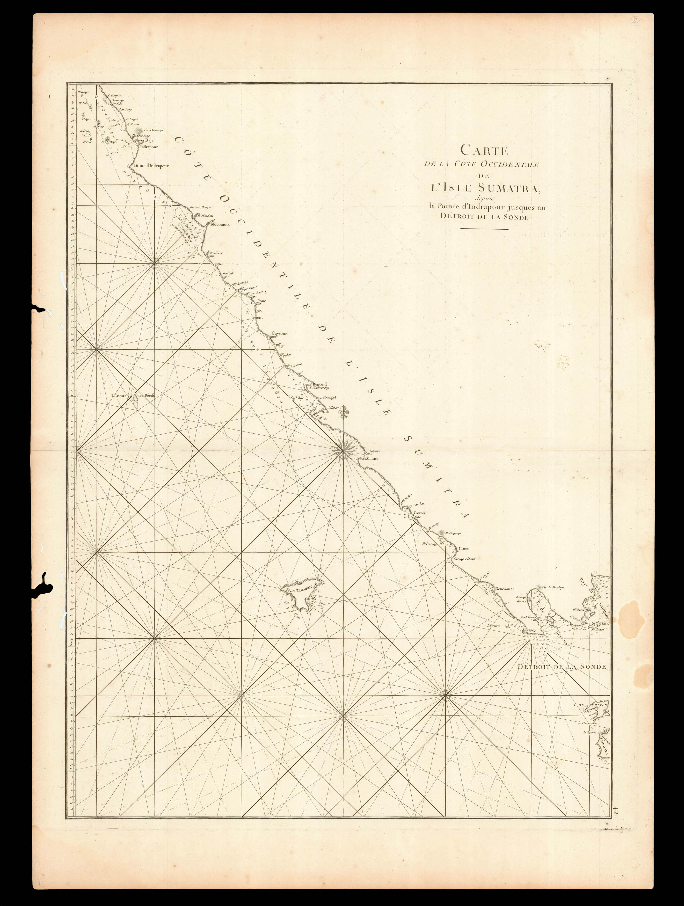 |
Southern entrance to the Sunda Strait
1 x
£220
|
£220 |
|
£220 |
|
× |
![WHITEWOOD, T[homas]. Drawings, Prints and Pieces of Needle-work, framed and glazed in the neatest Manner;](https://omega.crouchrarebooks.com/wp-content/uploads/2025/03/17756_1H.jpg) |
A Portsmouth bookseller
1 x
£300
|
£300 |
|
£300 |
|
× |
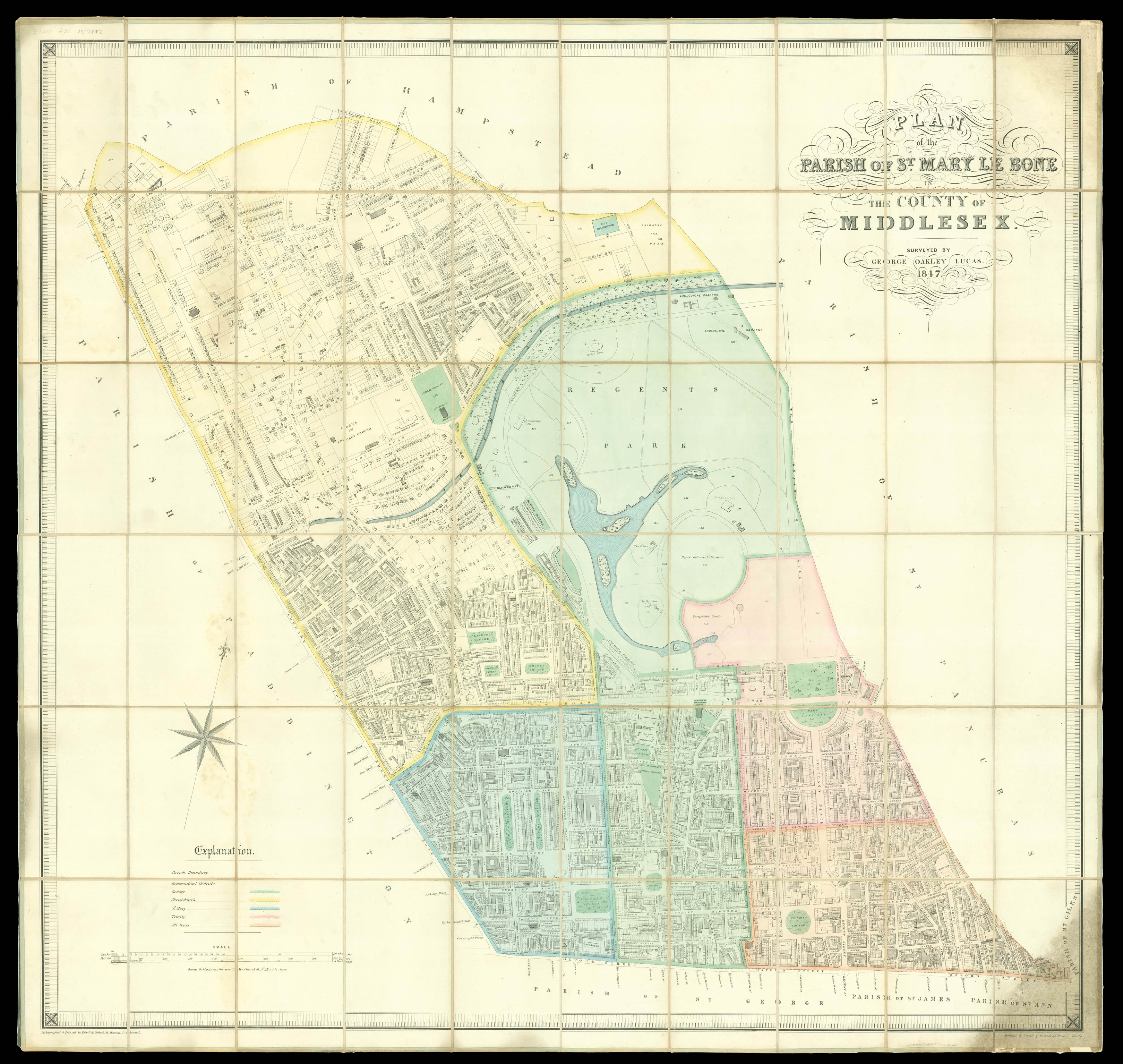 |
Marylebone
1 x
£4,000
|
£4,000 |
|
£4,000 |
|
× |
![HORSBURGH, James and INGLIS Sir Hugh [Two autograph letters concerning the East India Company and the War of 1812].](https://omega.crouchrarebooks.com/wp-content/uploads/2025/03/18376_1H.jpg) |
"more knowledge of the Eastern Seas than perhaps any other man"
1 x
£3,000
|
£3,000 |
|
£3,000 |
|
× |
![[?BOAZIO, Giovanni Battista] S. Iacob.](https://omega.crouchrarebooks.com/wp-content/uploads/2025/03/15989_1H.jpg) |
The first printed view of Santiago, Cape Verde
1 x
£12,000
|
£12,000 |
|
£12,000 |
|
× |
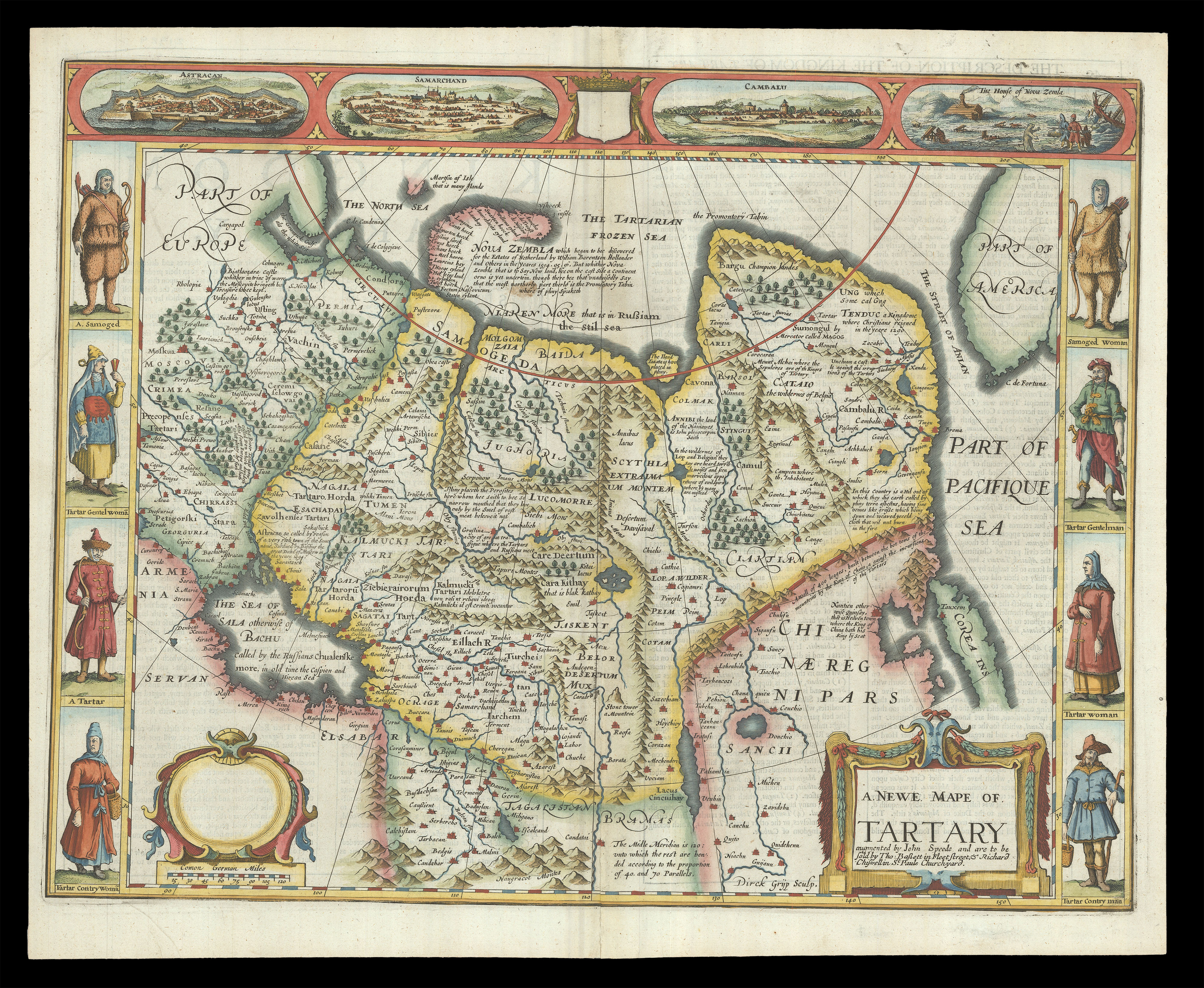 |
Speed's map of 'Tartary'
1 x
£2,200
|
£2,200 |
|
£2,200 |
|
× |
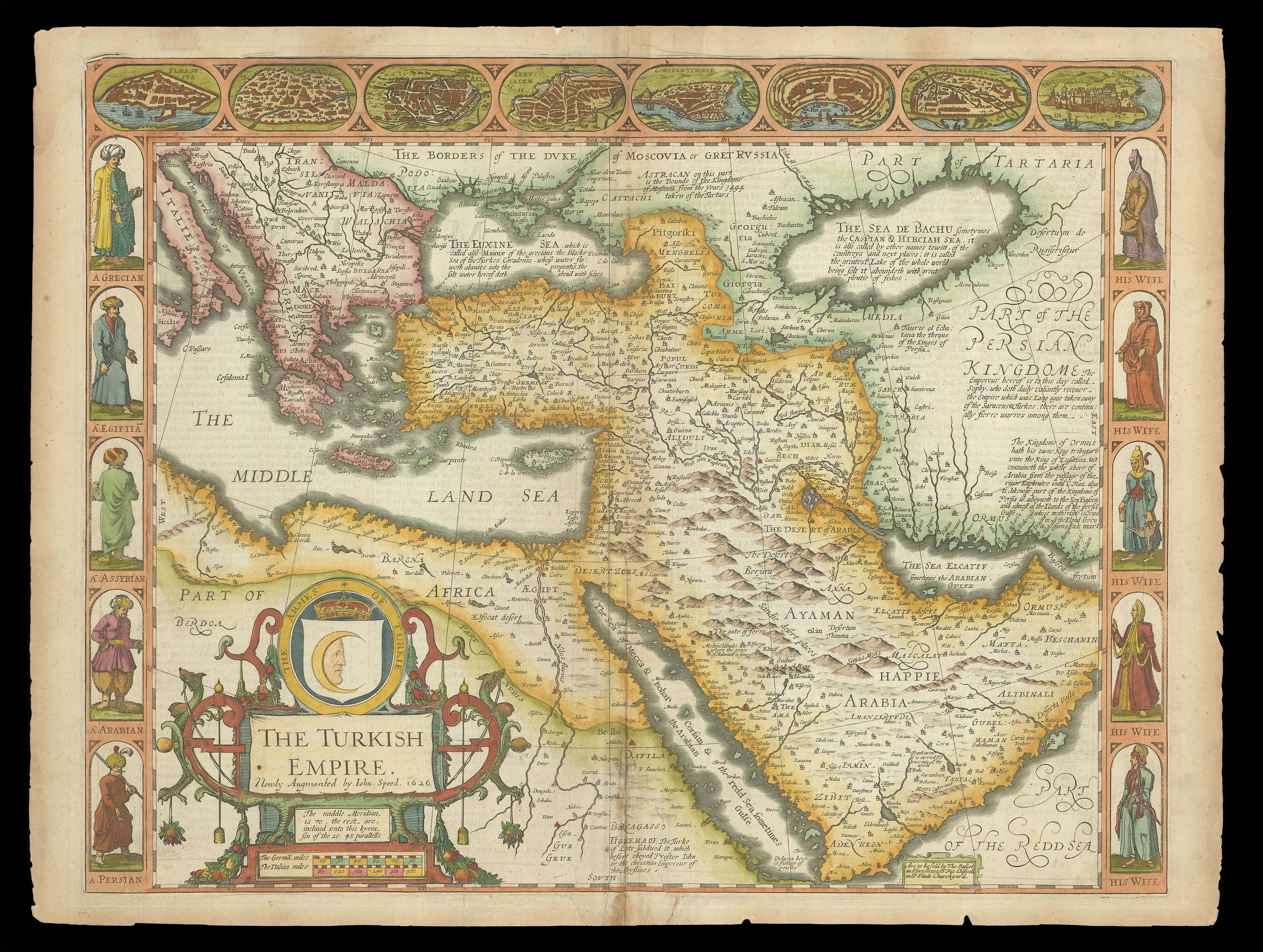 |
Speed's map of the Ottoman Empire
1 x
£2,000
|
£2,000 |
|
£2,000 |
|
× |
![[HOLLAR, Wenceslaus] Carte de l'Angleterre et d'une partie d'Ecosse Gravée par le celebre Hollar.](https://omega.crouchrarebooks.com/wp-content/uploads/2025/03/18623_1H.jpg) |
The map that lasted 100 years
1 x
£3,500
|
£3,500 |
|
£3,500 |
|
× |
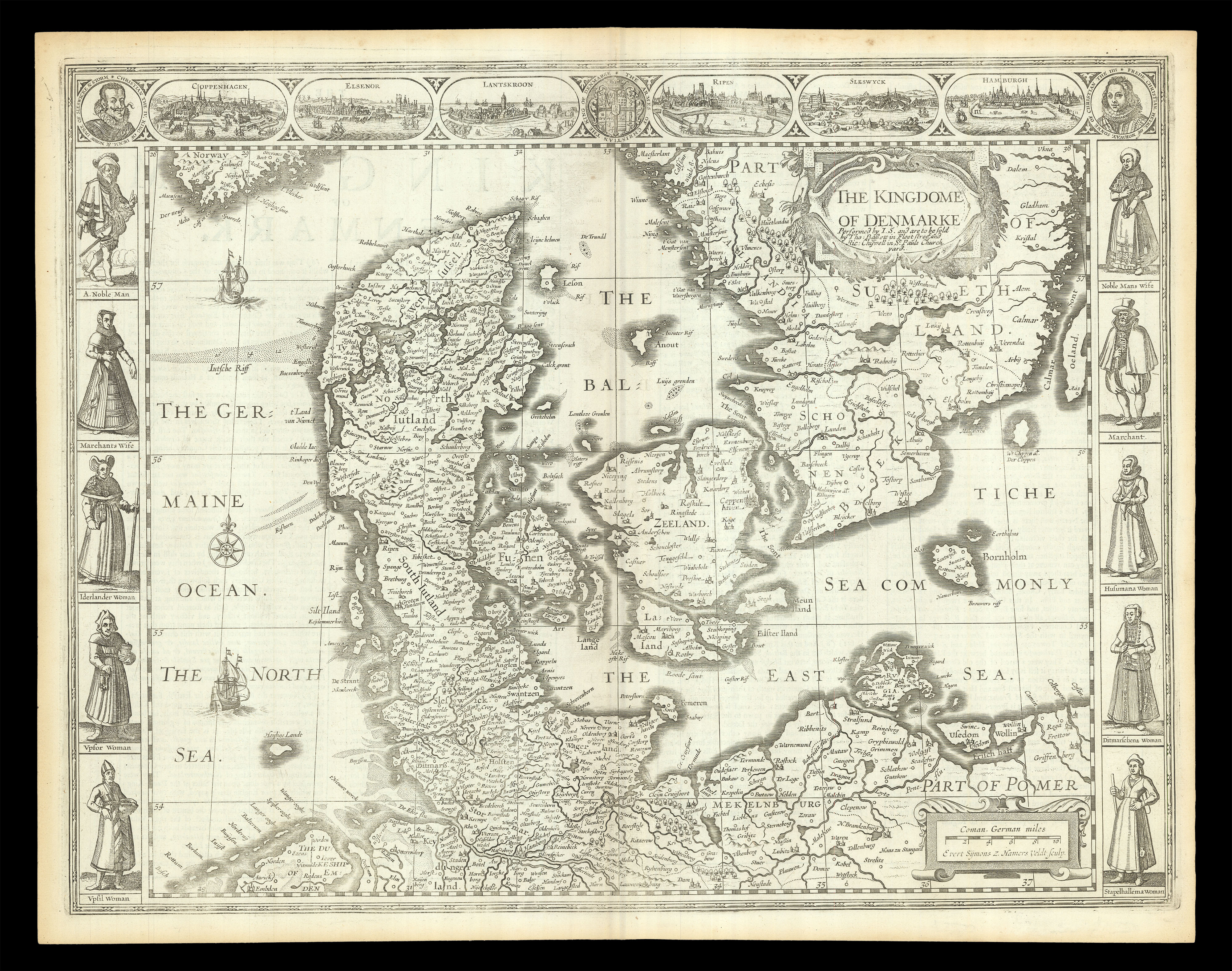 |
Speed's map of Denmark
1 x
£900
|
£900 |
|
£900 |
|
× |
![CAMPBELL, Lieutenant [Robert] A New and Correct Map of Scotland or North Britain.](https://omega.crouchrarebooks.com/wp-content/uploads/2025/03/16491_1H.jpg) |
Campbell's map of Scotland
1 x
£2,500
|
£2,500 |
|
£2,500 |
|
× |
 |
Plan of London showing troop dispositions
1 x
£1,500
|
£1,500 |
|
£1,500 |
|
× |
![BAILLEUL, N[icolas, Le Jeune] L'Asie divisé suivant l'etendue des Empires et Royaumes qui la partagent](https://omega.crouchrarebooks.com/wp-content/uploads/2025/03/12876_1H.jpg) |
A rare map of Asia showing the Sea of Korea
1 x
£6,000
|
£6,000 |
|
£6,000 |
|
× |
![SPEED, John [Lancashire] The Countie Pallatine of Lancaster Described and Divided into Hundreds](https://omega.crouchrarebooks.com/wp-content/uploads/2025/03/1785_1H.jpg) |
Rare Roger Rea edition of Speed's map of Lancashire
1 x
£1,800
|
£1,800 |
|
£1,800 |
|
× |
![BARFOOT, J[ames] R[ichard] L'Orient or the Indian Travellers, A Geographical Historical Game.](https://omega.crouchrarebooks.com/wp-content/uploads/2025/03/20539_1H.jpg) |
Cartographic game board celebrating the British Empire in India
1 x
£6,000
|
£6,000 |
|
£6,000 |
|
× |
 |
Presentation copy of Jules Marcou's geological map of the United States to Auguste Trecul
1 x
£4,000
|
£4,000 |
|
£4,000 |
|
× |
 |
Book supplier to the King of Italy
1 x
£1,200
|
£1,200 |
|
£1,200 |
|
|


