-
×
![WESTERMAYER, C[onrad] [after] CLESS, [Jean Henri] Jean. Domin. Cassini.](https://omega.crouchrarebooks.com/wp-content/uploads/2025/03/17731_1H.jpg) Jean Dominique Cassini II
1 × £300
Jean Dominique Cassini II
1 × £300 -
×
![[ANONYMOUS] Dr Maskelyne F.R.S. Astronomer Royal.](https://omega.crouchrarebooks.com/wp-content/uploads/2025/03/18150_1H.jpg) Dr Nevil Maskelyne
1 × £200
Dr Nevil Maskelyne
1 × £200 -
×
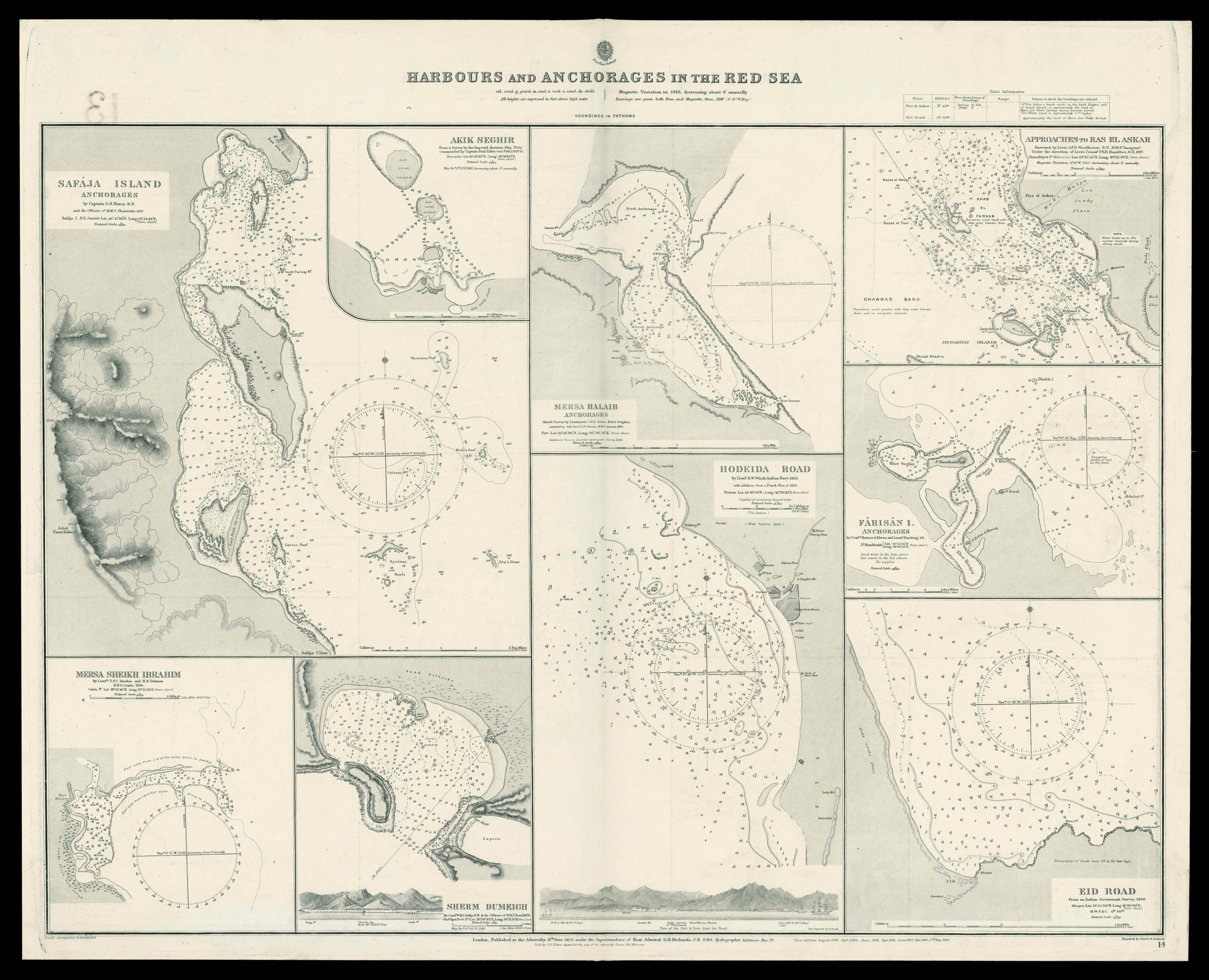 Admiralty chart of the harbour's and Anchorages in the Red Sea
1 × £700
Admiralty chart of the harbour's and Anchorages in the Red Sea
1 × £700 -
×
![CHAFRION, J[osé] Carta de la Rivera de Genova](https://omega.crouchrarebooks.com/wp-content/uploads/2025/03/18194_1H.jpg) Wall map of Liguria
1 × £15,000
Wall map of Liguria
1 × £15,000 -
×
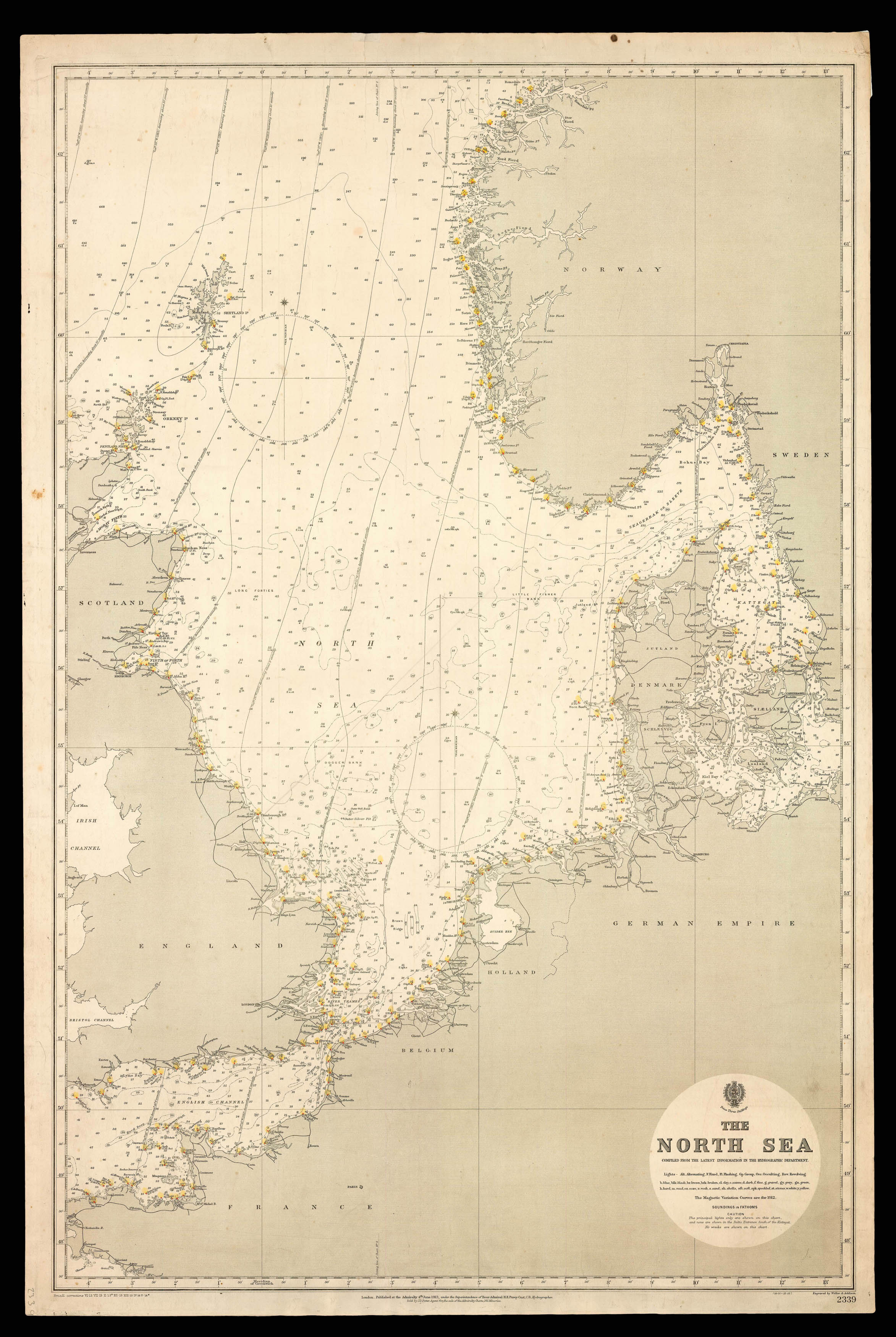 Admiralty Chart of the North Sea
1 × £750
Admiralty Chart of the North Sea
1 × £750 -
×
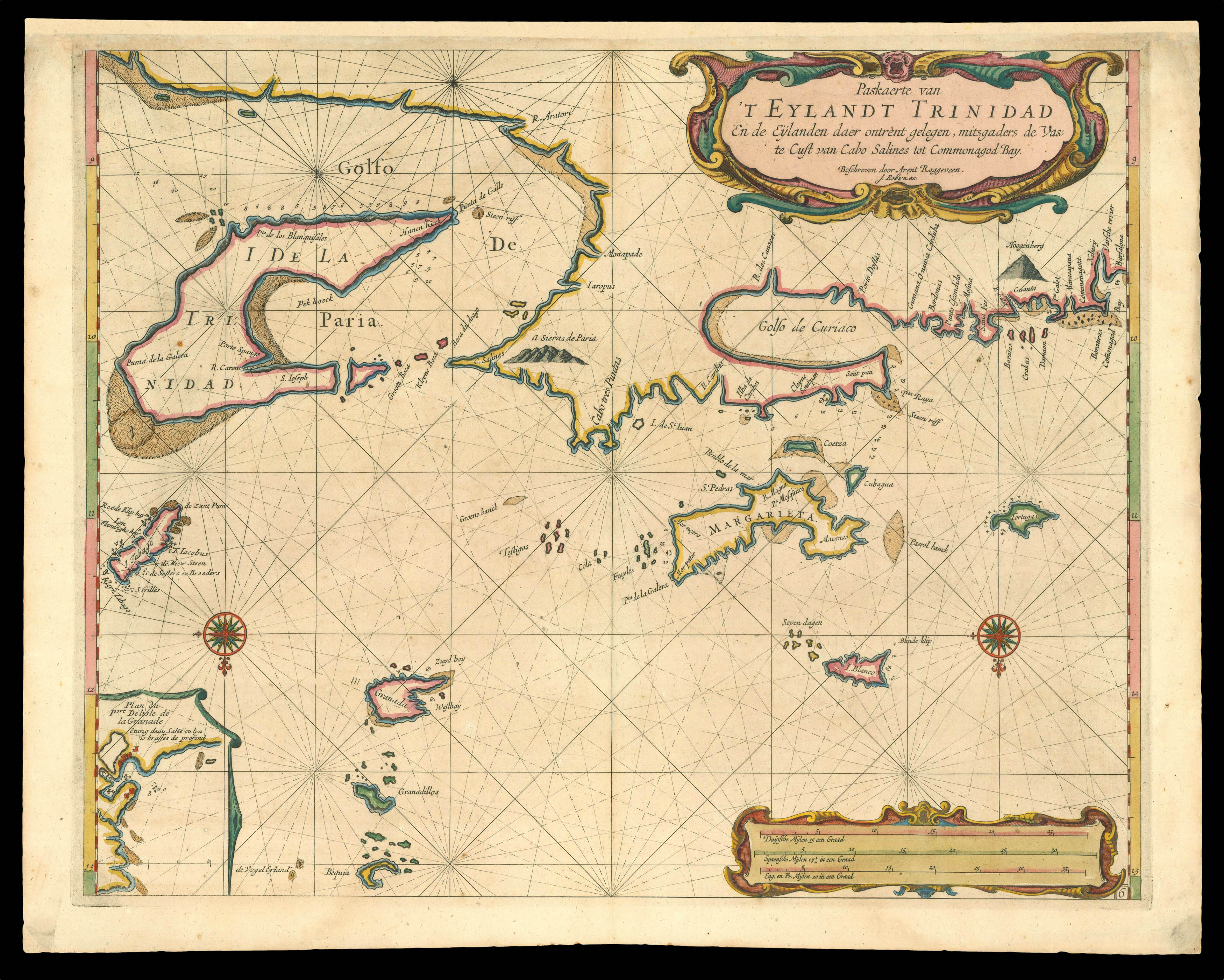 Trinidad
1 × £4,000
Trinidad
1 × £4,000 -
×
![LABELYE, Charles [Kent] A Mapp of the Downes](https://omega.crouchrarebooks.com/wp-content/uploads/2025/03/11318_1H.jpg) Rare survey of Sandwich in Kent
1 × £1,000
Rare survey of Sandwich in Kent
1 × £1,000 -
×
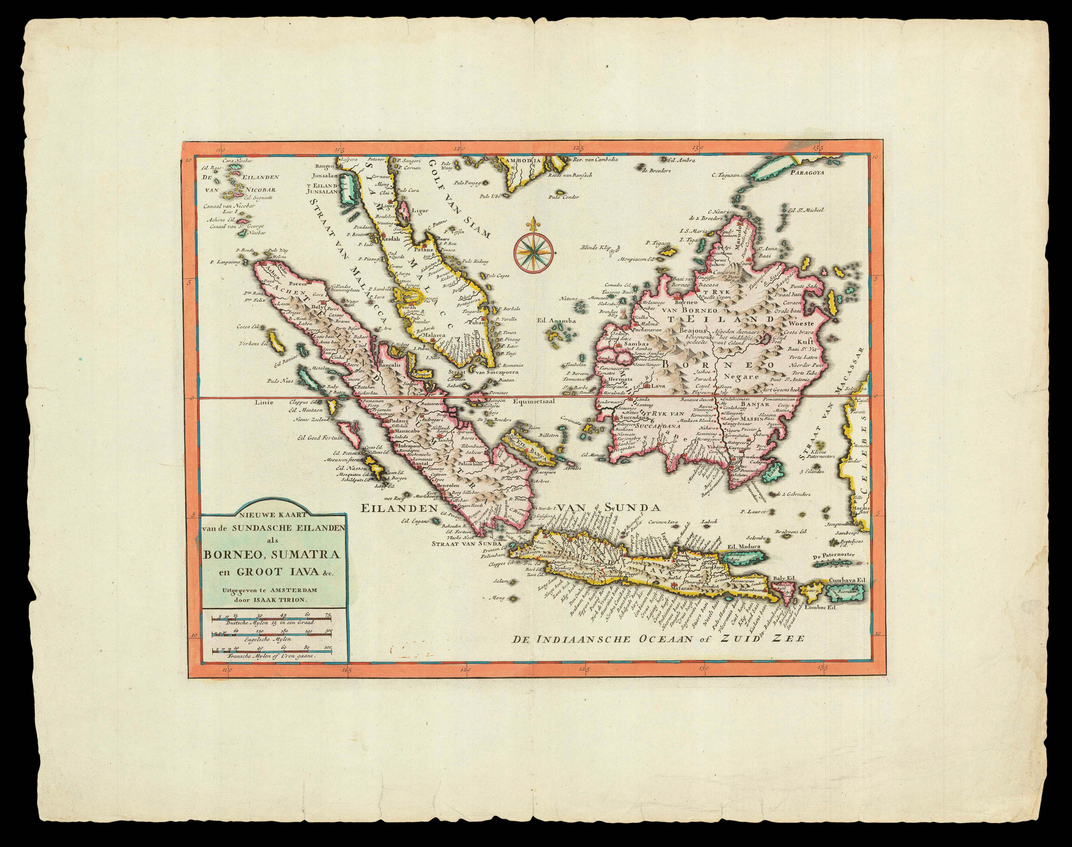 Trion's map of southwest Southeast Asia
1 × £470
Trion's map of southwest Southeast Asia
1 × £470 -
×
![HOLLAR, W[enceslaus] [Twelve Months of the Year with Signs of the Zodiac]](https://omega.crouchrarebooks.com/wp-content/uploads/2025/03/18313_1H.jpg) The twelve months
1 × £12,000
The twelve months
1 × £12,000 -
×
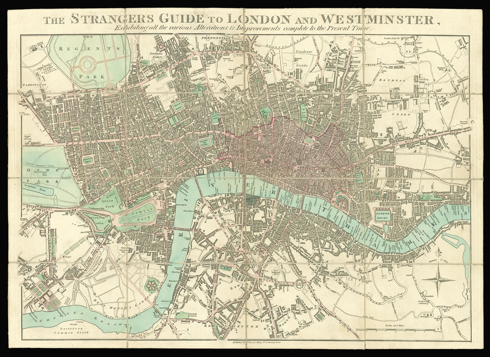 For the Stranger to late Georgian London
1 × £900
For the Stranger to late Georgian London
1 × £900 -
×
![MARTIN, Benjamin; R. PAGE [Benjamin Martin]](https://omega.crouchrarebooks.com/wp-content/uploads/2025/03/17792_1H.jpg) Benjamin Martin
1 × £150
Benjamin Martin
1 × £150 -
×
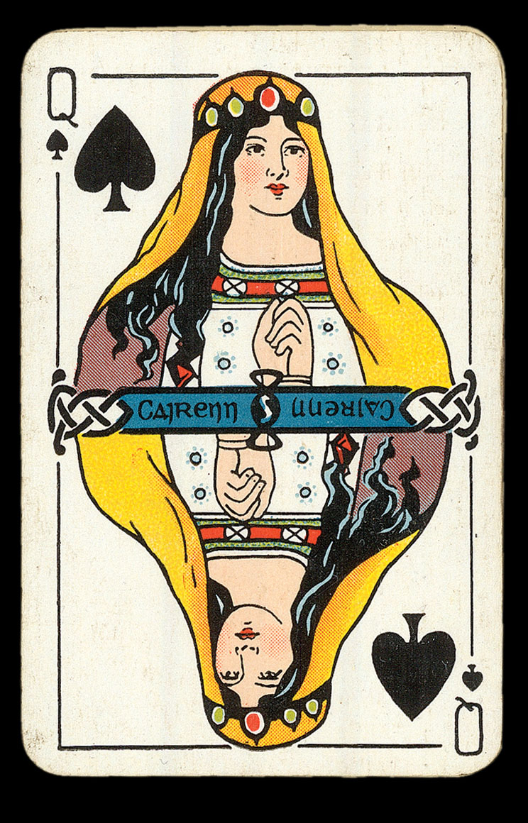 Luck of the Irish
1 × £800
Luck of the Irish
1 × £800 -
×
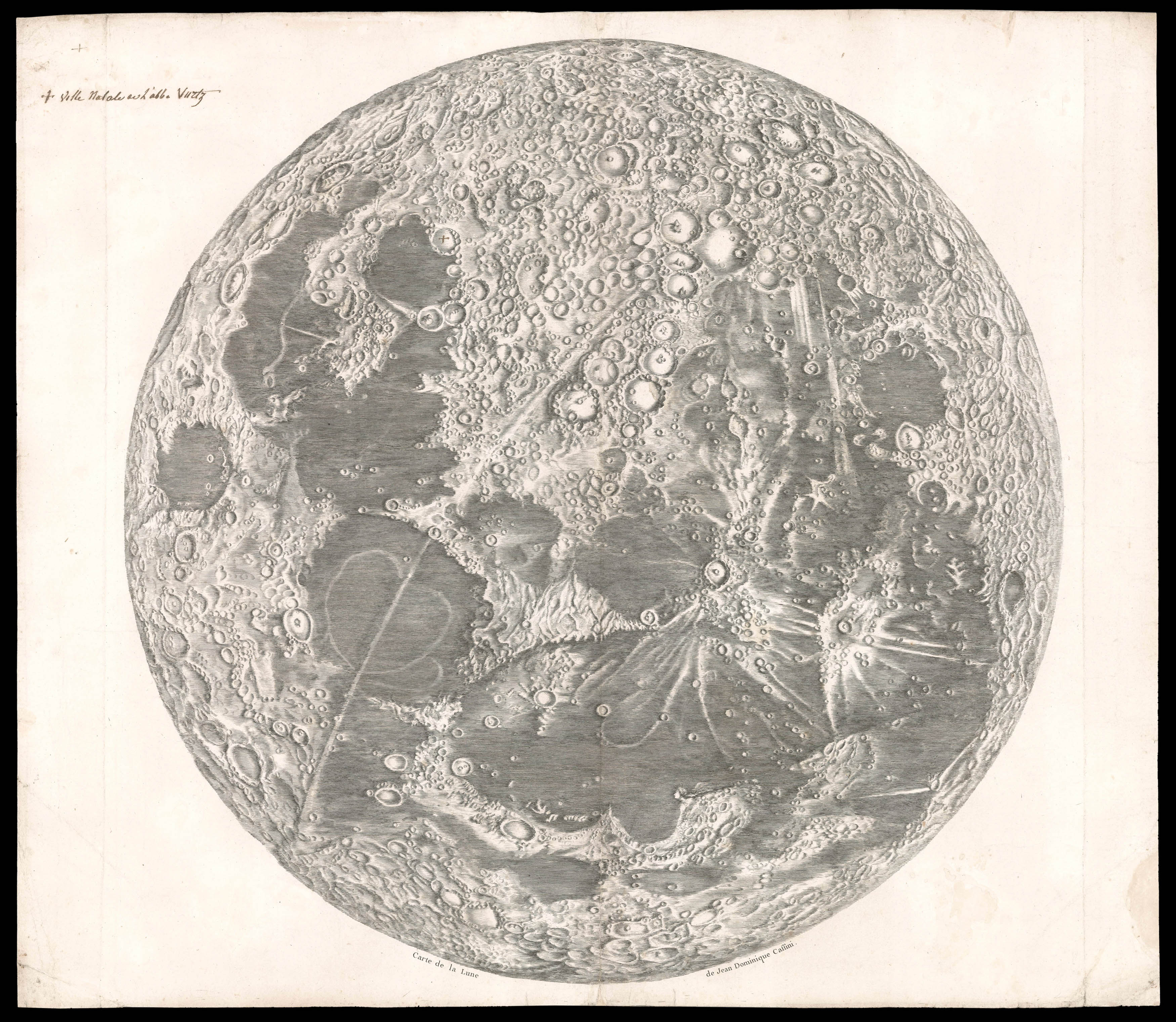 Cassini's seminal Lunar Map
1 × £50,000
Cassini's seminal Lunar Map
1 × £50,000 -
×
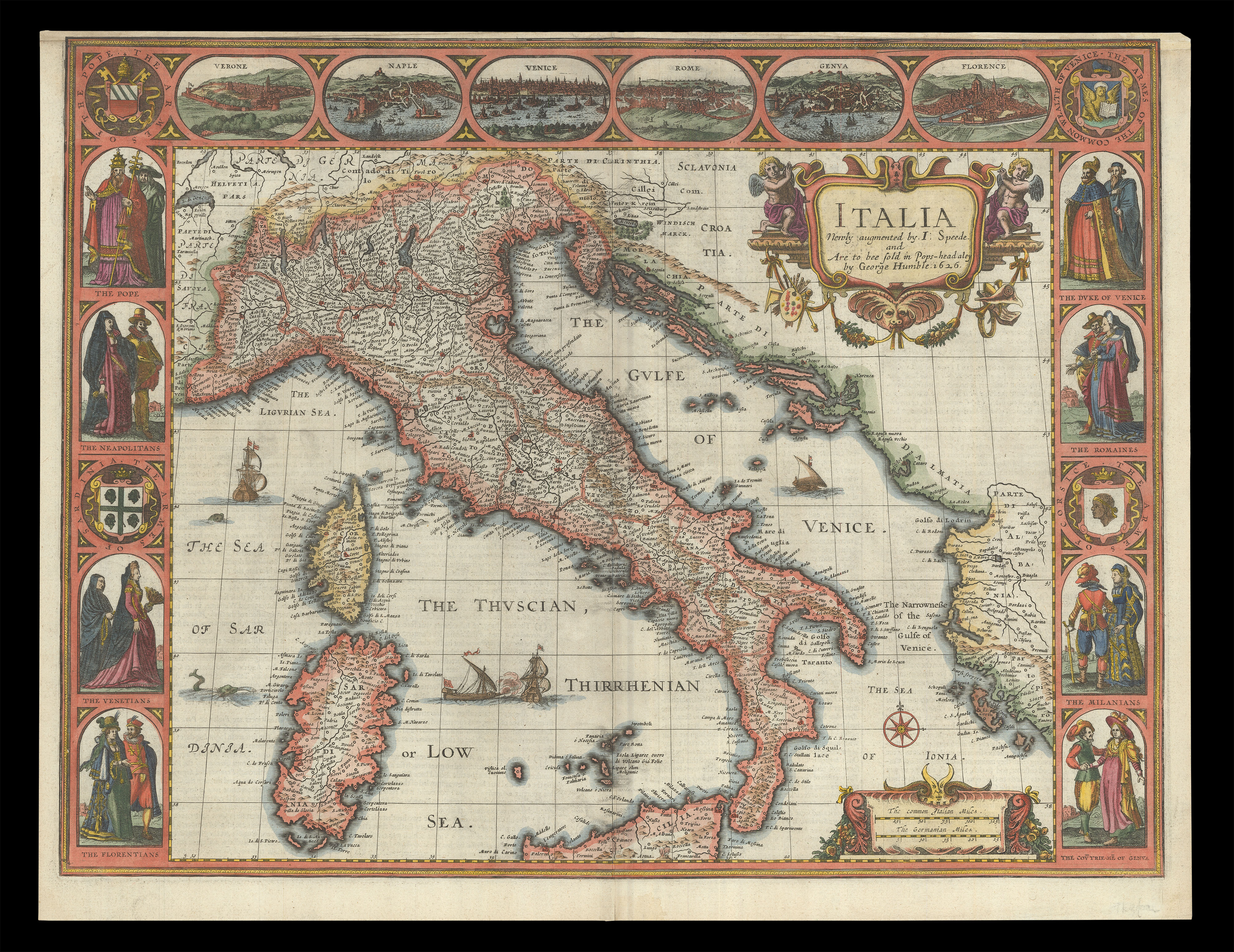 Speed's map of Italy
1 × £2,500
Speed's map of Italy
1 × £2,500 -
×
![GÖBL, Andreas Benedict Baierische Hochzeit [Bavarian Wedding]](https://omega.crouchrarebooks.com/wp-content/uploads/2025/03/20704_1H.jpg) A royal wedding
1 × £20,000
A royal wedding
1 × £20,000 -
×
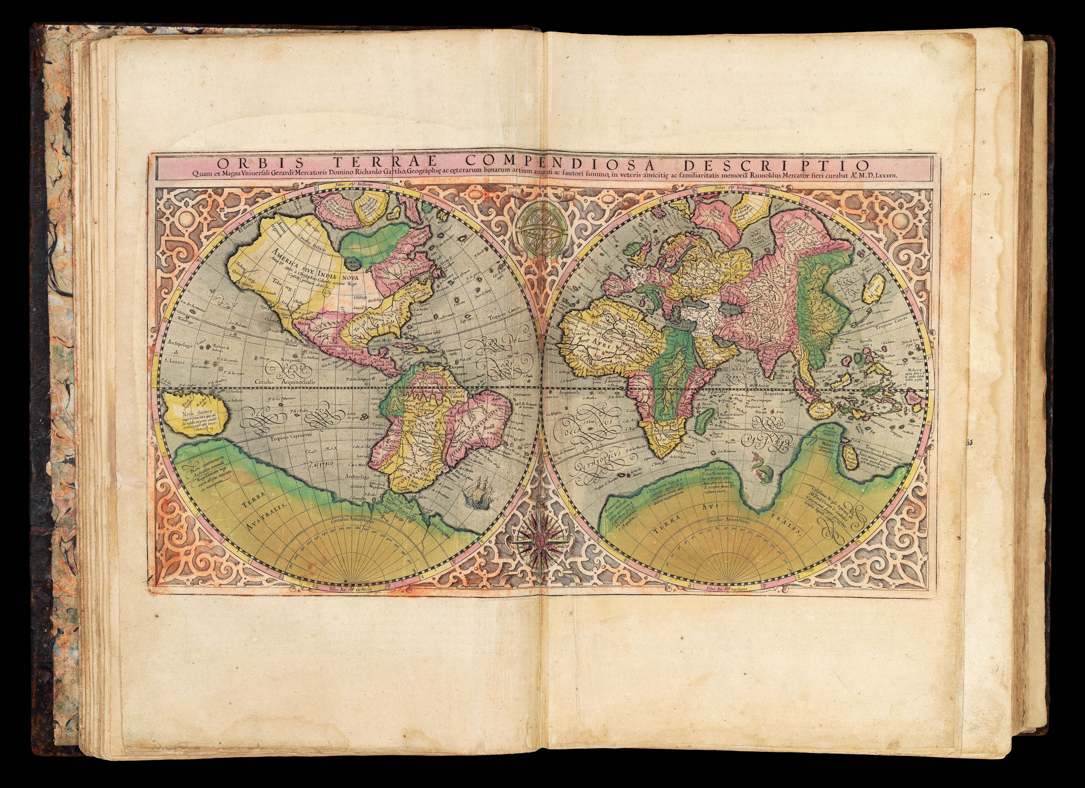
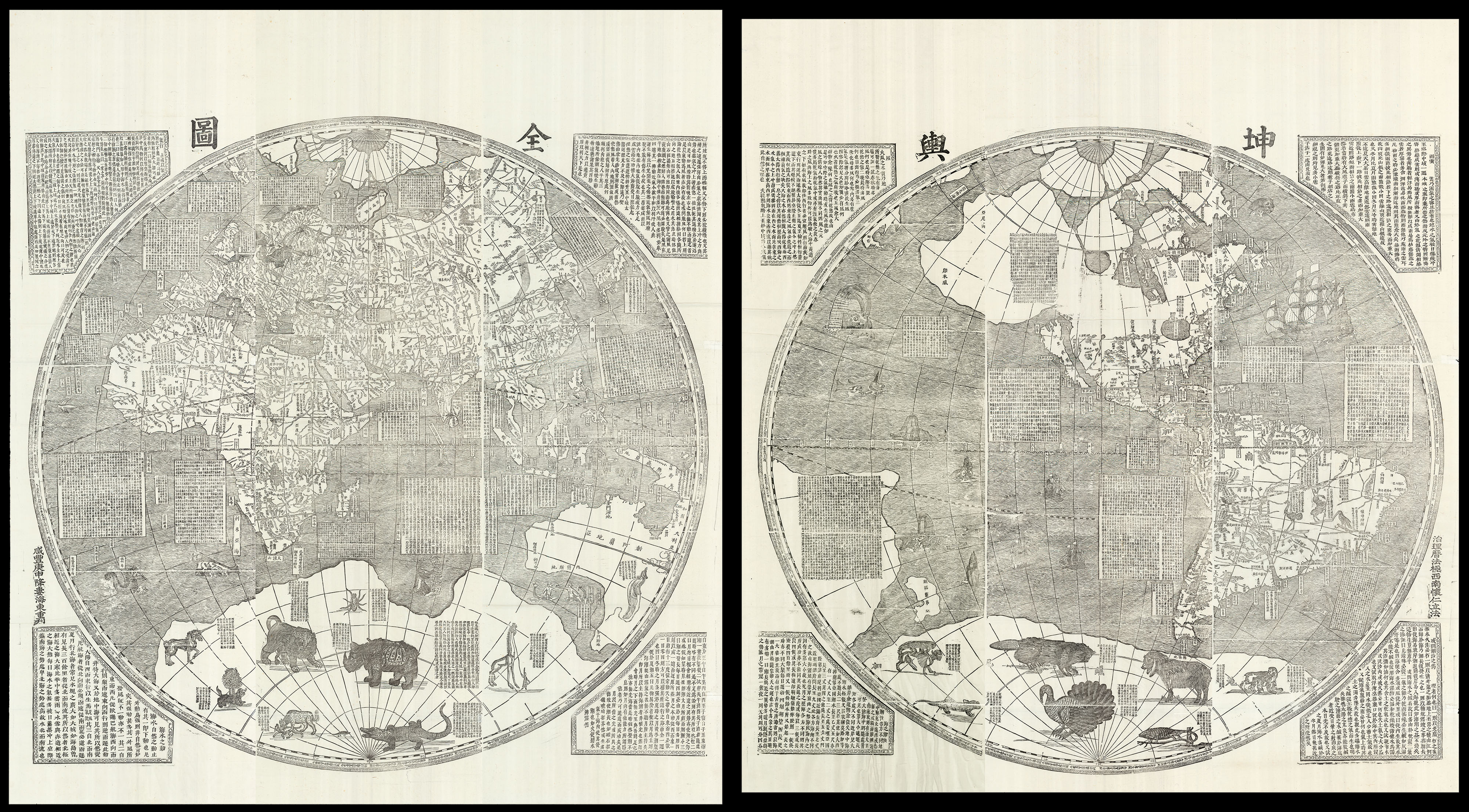 One of the largest world maps ever printed
1 × £180,000
One of the largest world maps ever printed
1 × £180,000 -
×
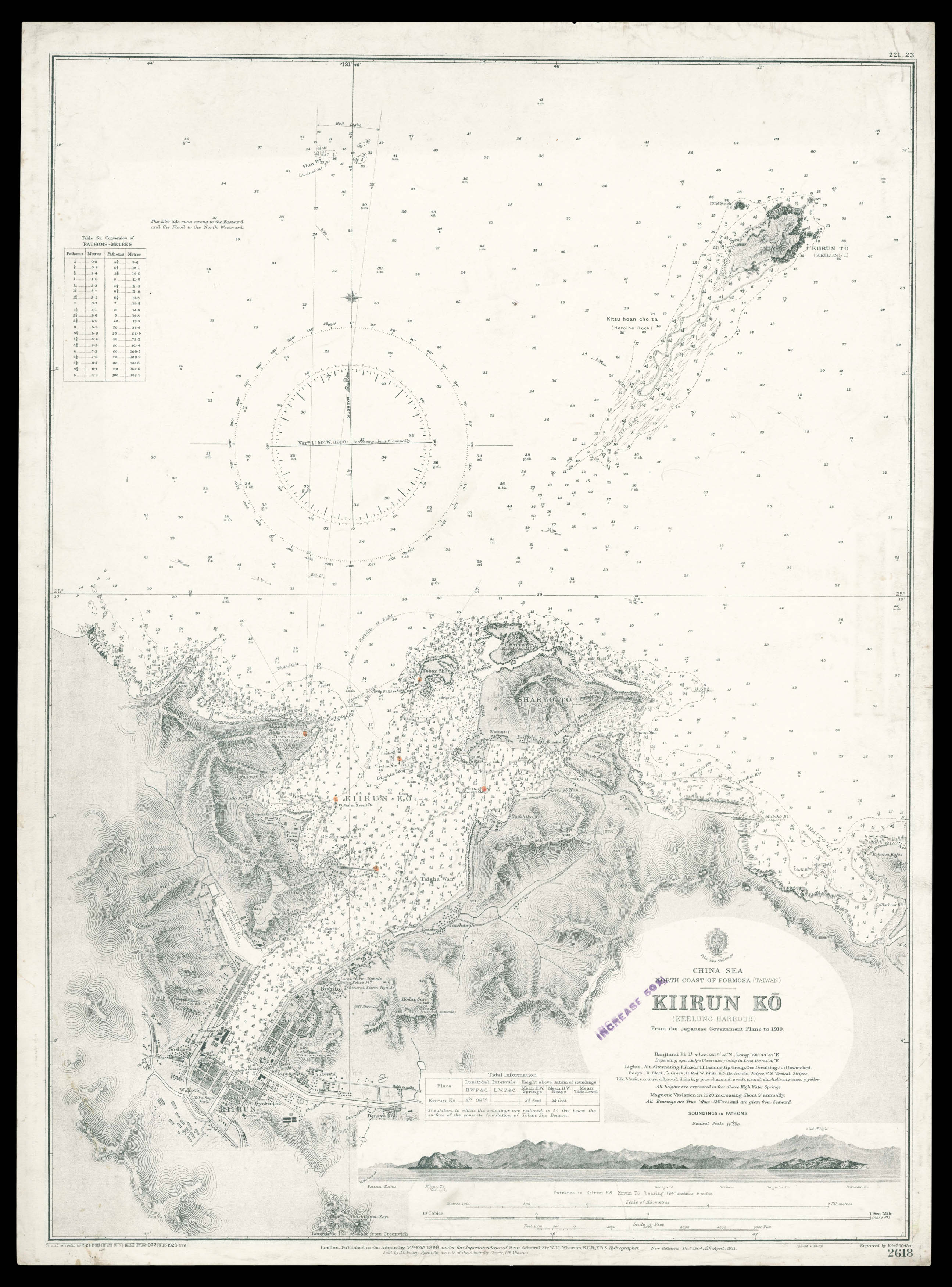 Admiralty chart of northern Taiwan
1 × £950
Admiralty chart of northern Taiwan
1 × £950 -
×
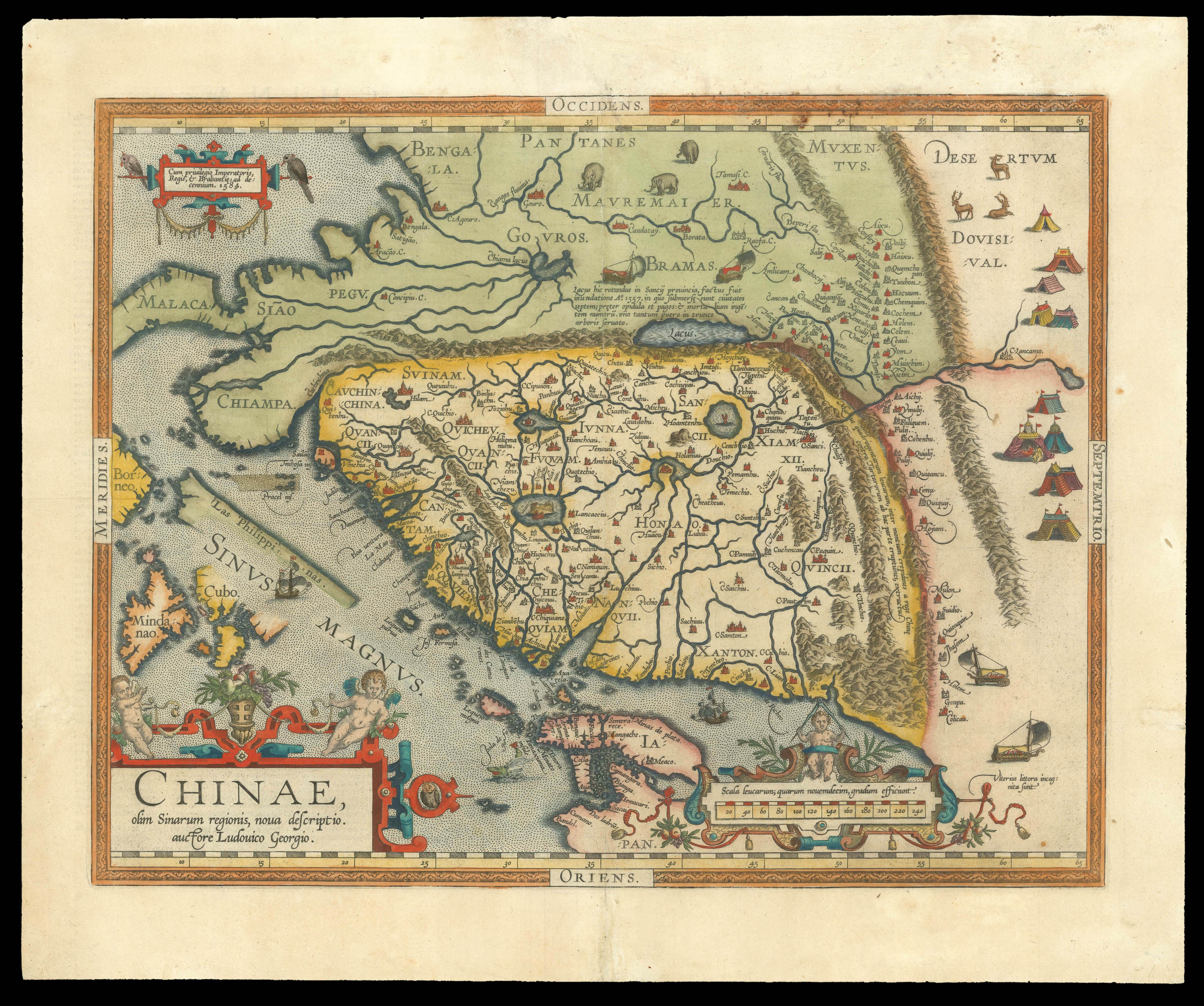 The earliest printed map to focus on China
1 × £4,500
The earliest printed map to focus on China
1 × £4,500

Rare Maps

Rare Atlases

Rare Books

Rare Prints