|
× |
![HOLLAR, W[enceslaus] [Twelve Months of the Year with Signs of the Zodiac]](https://omega.crouchrarebooks.com/wp-content/uploads/2025/03/18313_1H.jpg) |
The twelve months
1 x
£12,000
|
£12,000 |
|
£12,000 |
|
× |
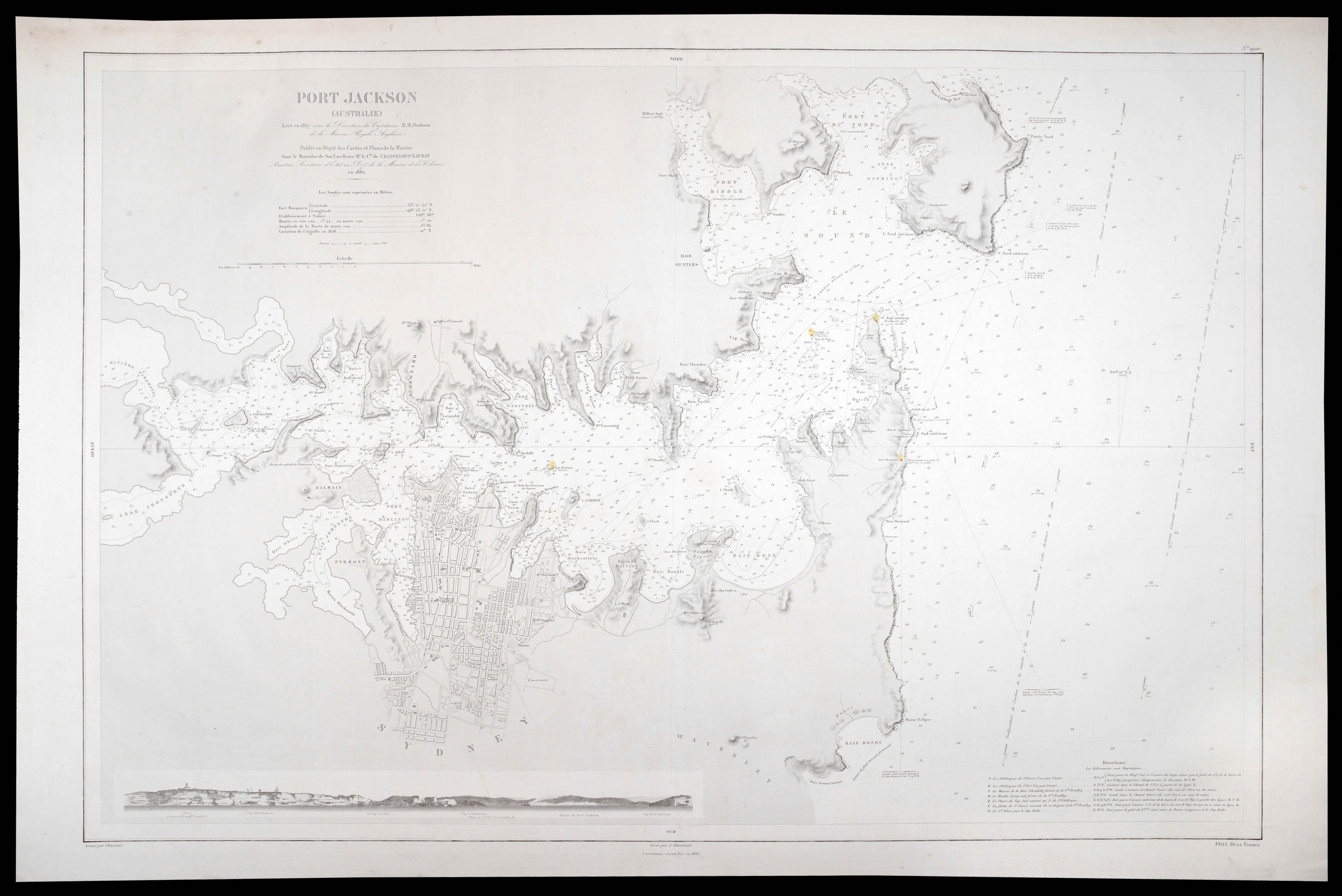 |
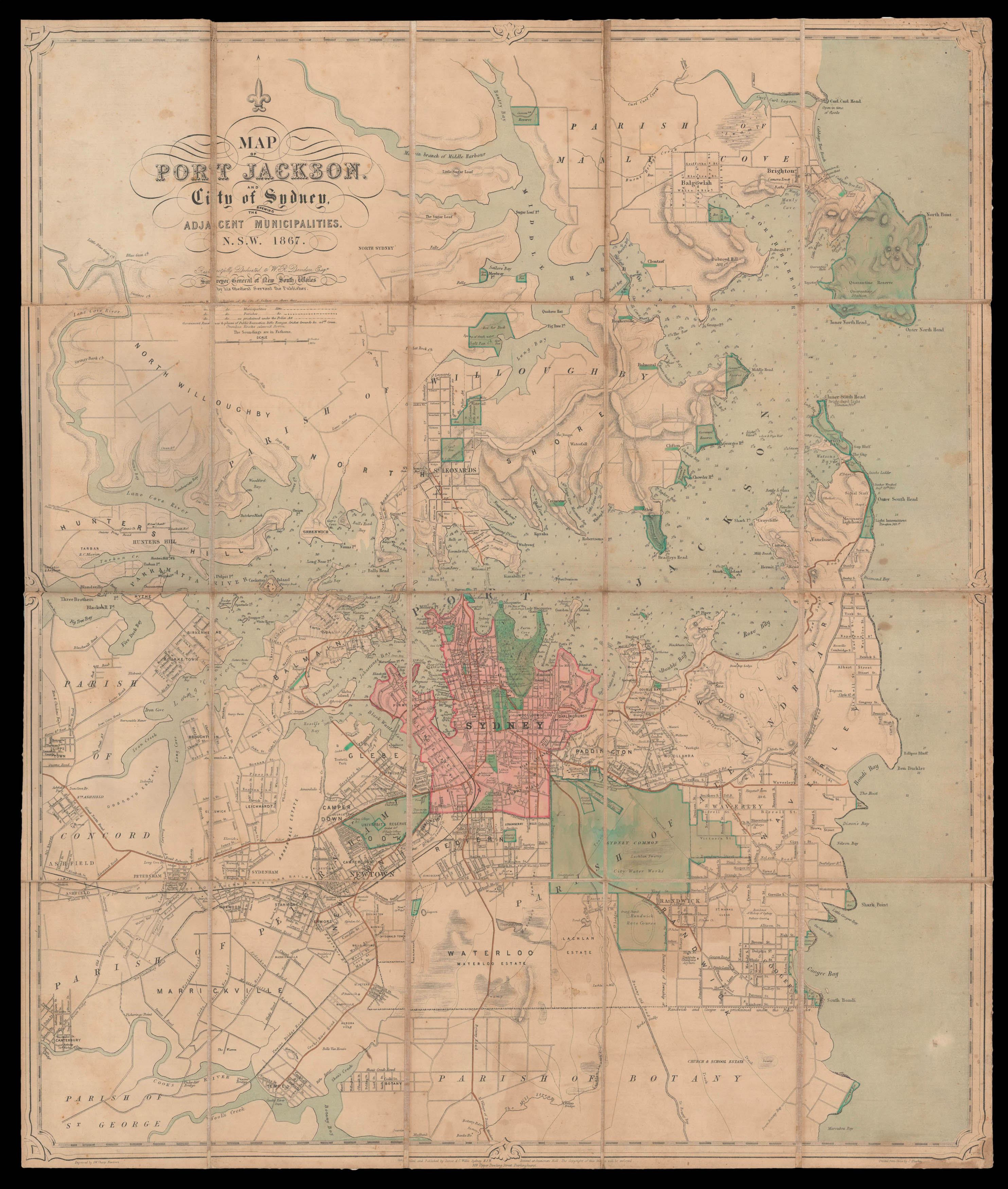
Sydney Harbour during the Gold Rush
1 x
£7,000
|
£7,000 |
|
£7,000 |
|
× |
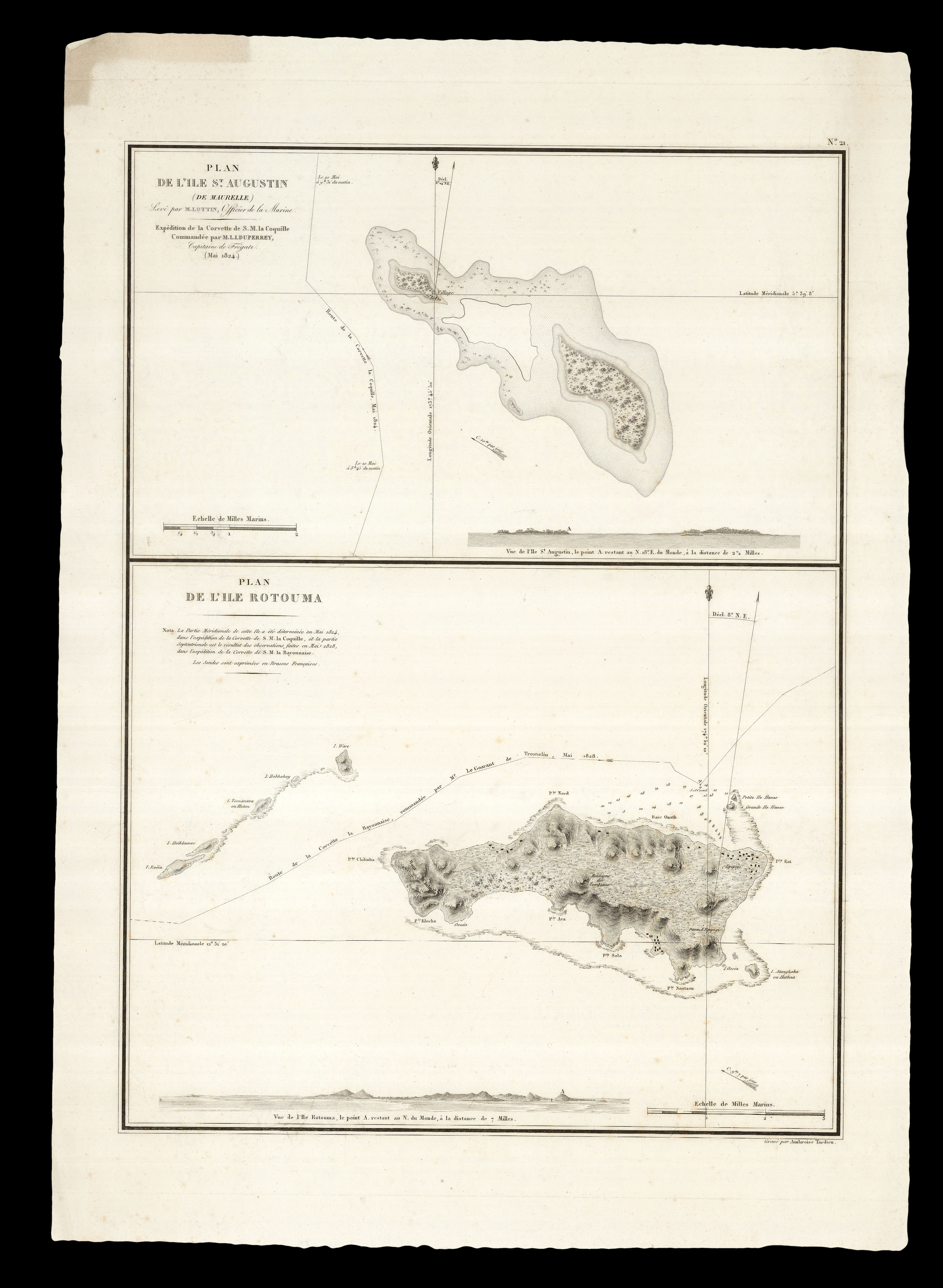 |
Following in Louis Freycinet's "footsteps"
1 x
£250
|
£250 |
|
£250 |
|
× |
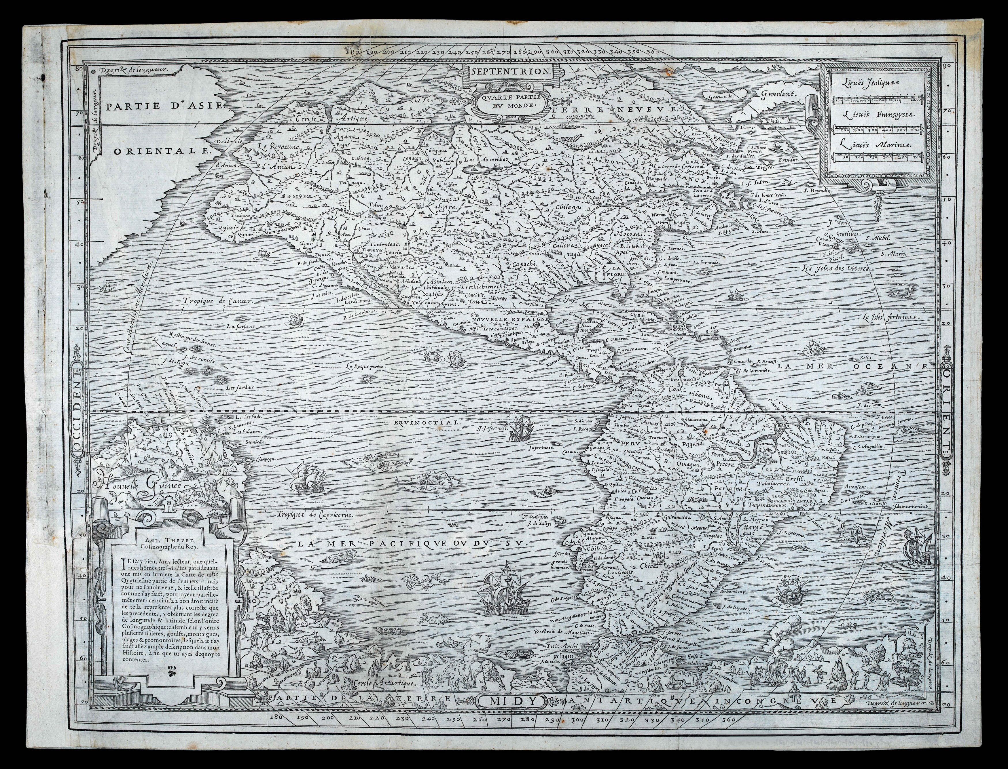 |
One of only a few maps of the period created from first-hand knowledge
1 x
£13,000
|
£13,000 |
|
£13,000 |
|
× |
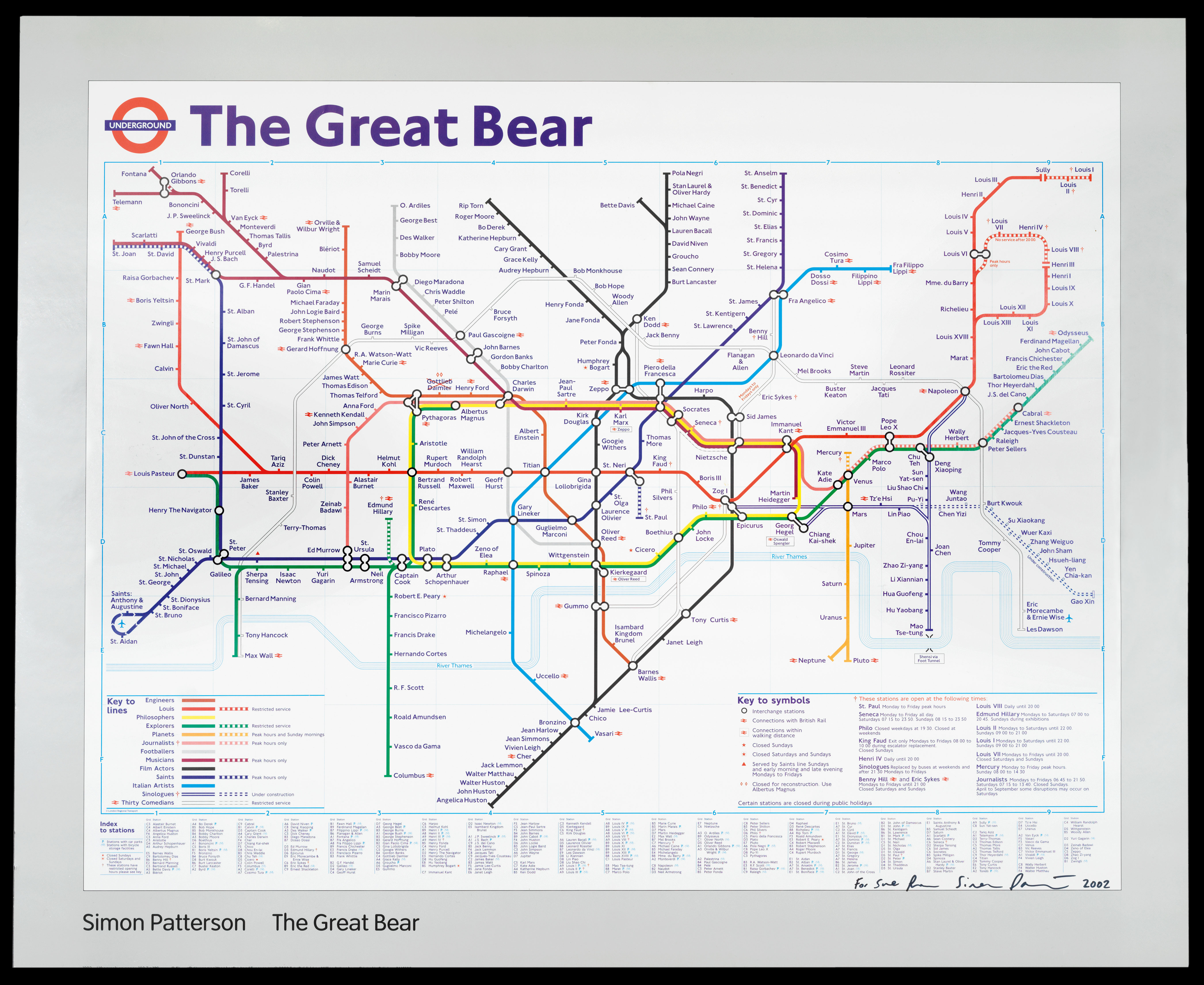 |
The Great Bear
1 x
£5,000
|
£5,000 |
|
£5,000 |
|
× |
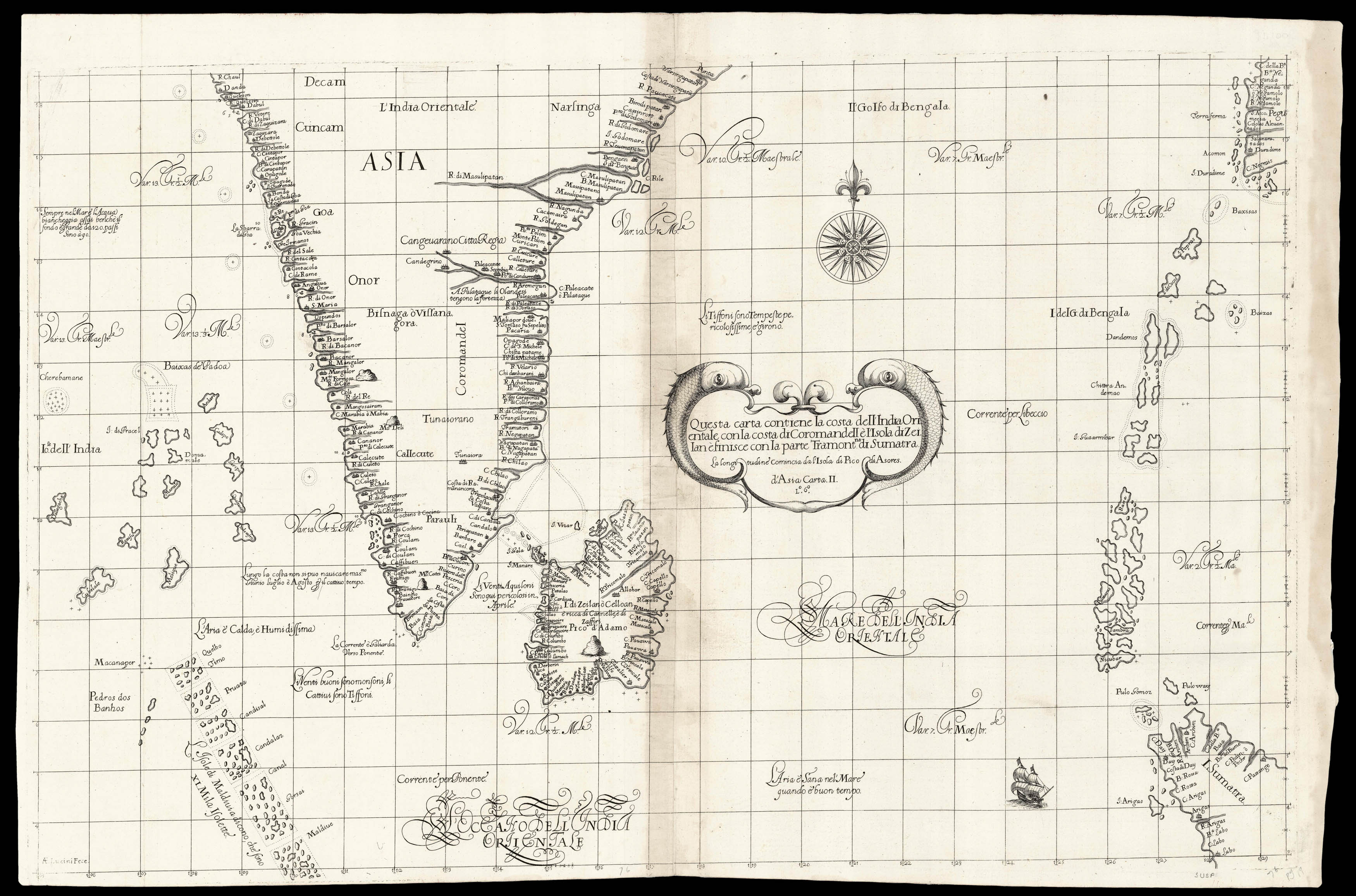 |
Dudley's chart of southern India
1 x
£8,000
|
£8,000 |
|
£8,000 |
|
× |
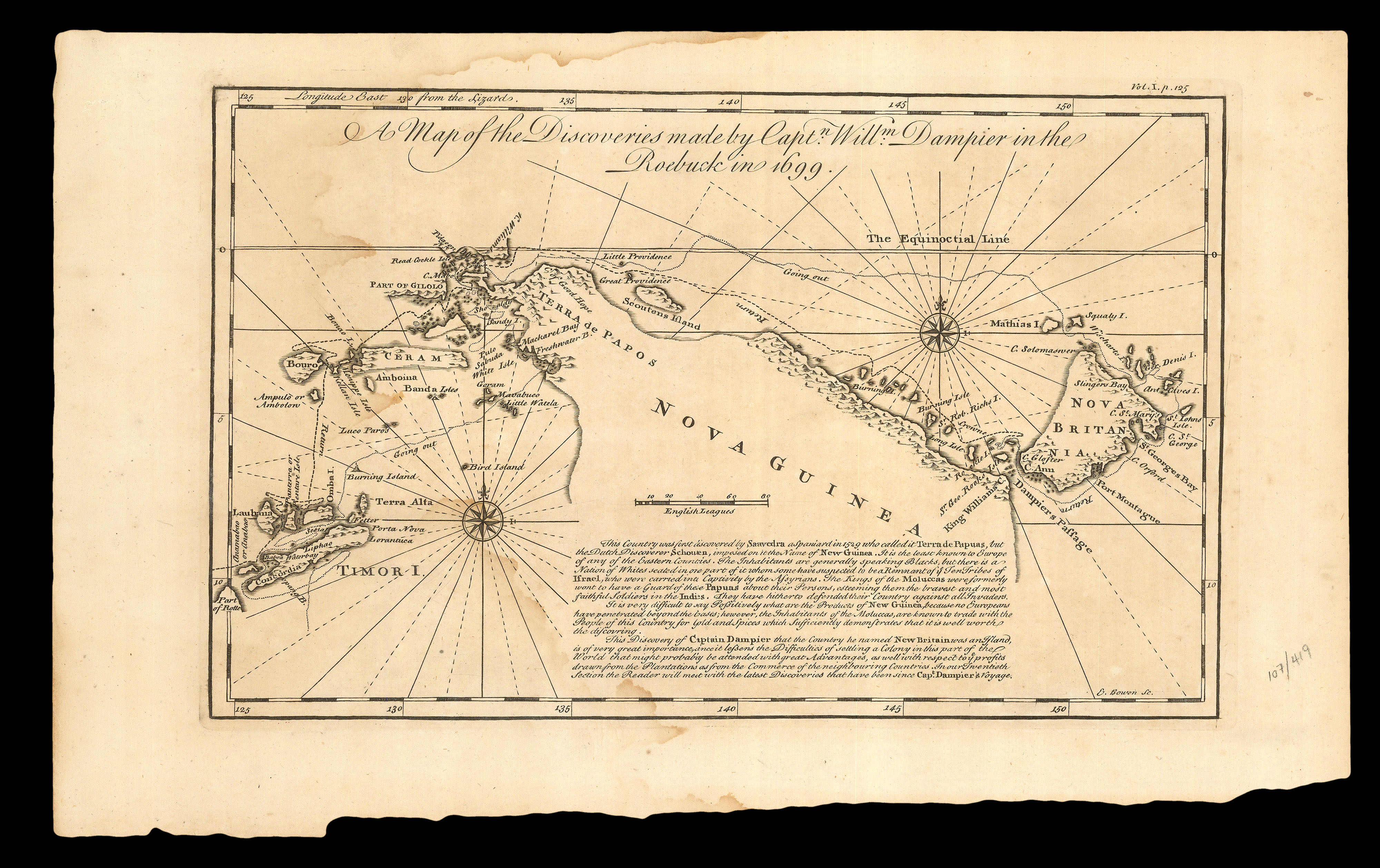 |
"The least known to Europe of any of the Eastern Countries"
1 x
£250
|
£250 |
|
£250 |
|
× |
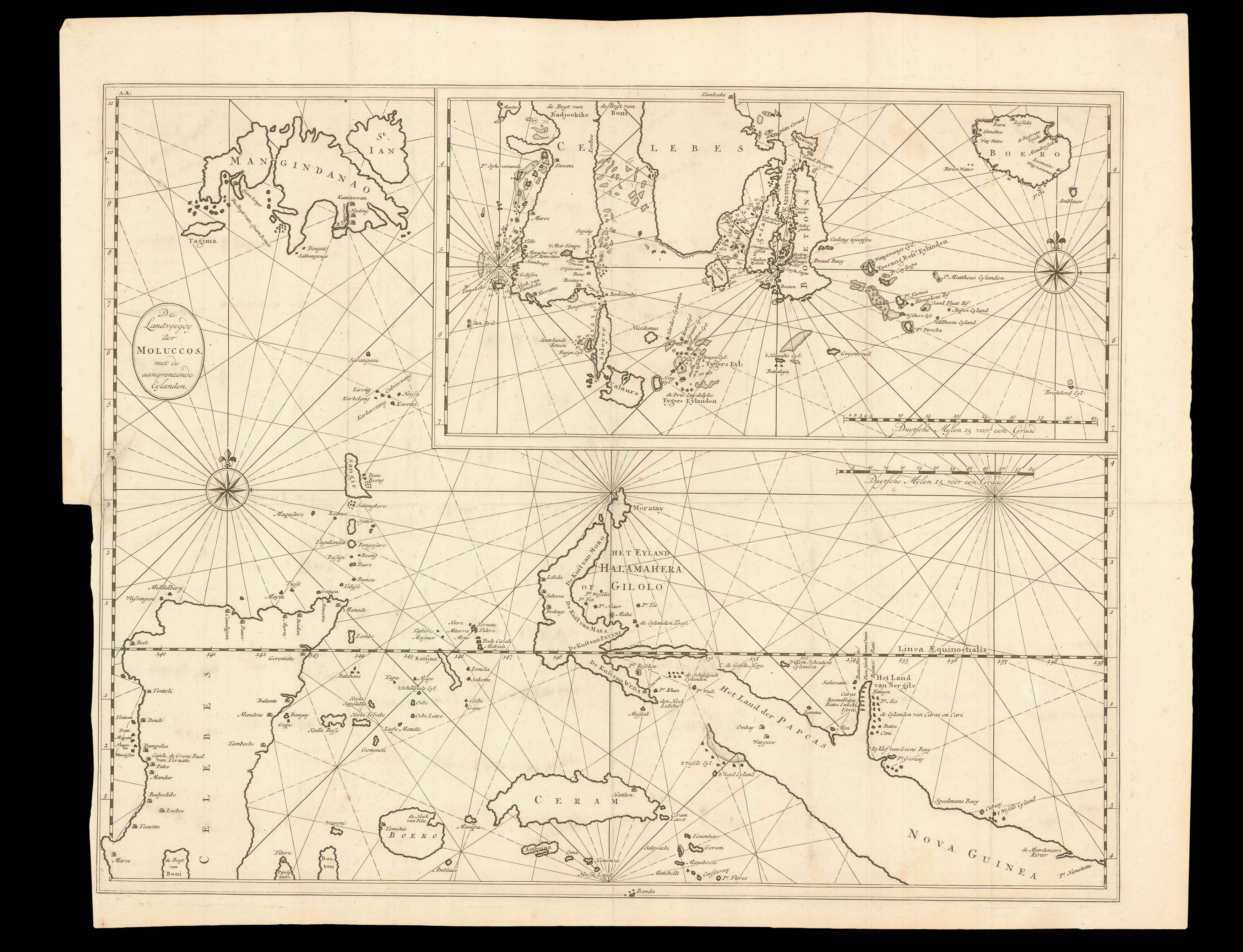 |
The Moluccas
1 x
£370
|
£370 |
|
£370 |
|
× |
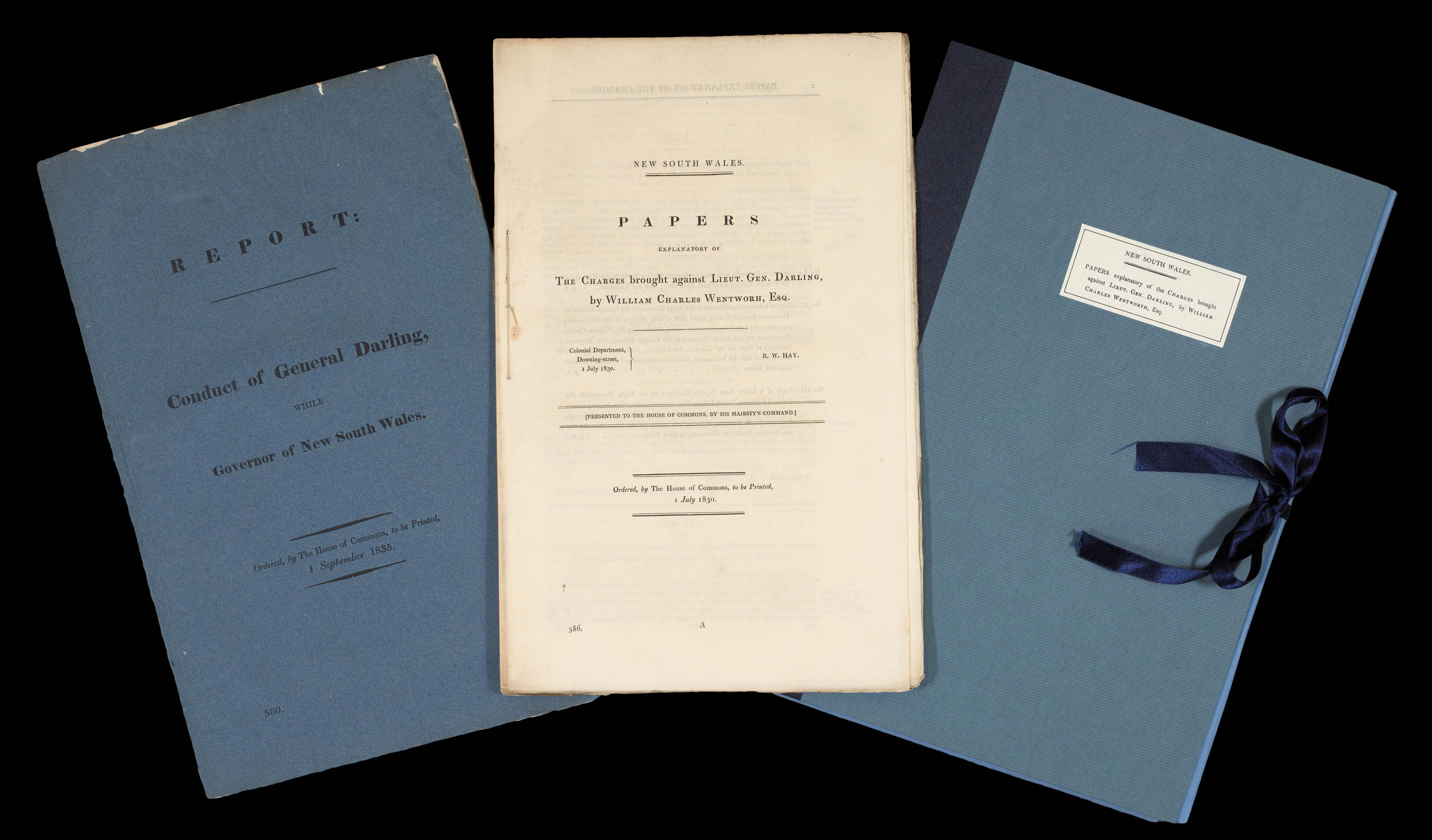 |
First inklings of self-government and nationhood for Australia
1 x
£2,000
|
£2,000 |
|
£2,000 |
|
× |
 |
Sydney's CBD
1 x
£8,000
|
£8,000 |
|
£8,000 |
|
× |
 |
The Battle of the Downs
1 x
£2,000
|
£2,000 |
|
£2,000 |
|
× |
![PTOLEMAEUS, Claudius [translated by ANGELUS, Jacobus, edited by GERMANUS, Nicolaus] [Southeast Asia] Undecima Asie tabula.](https://omega.crouchrarebooks.com/wp-content/uploads/2025/03/18410_1H.jpg) |
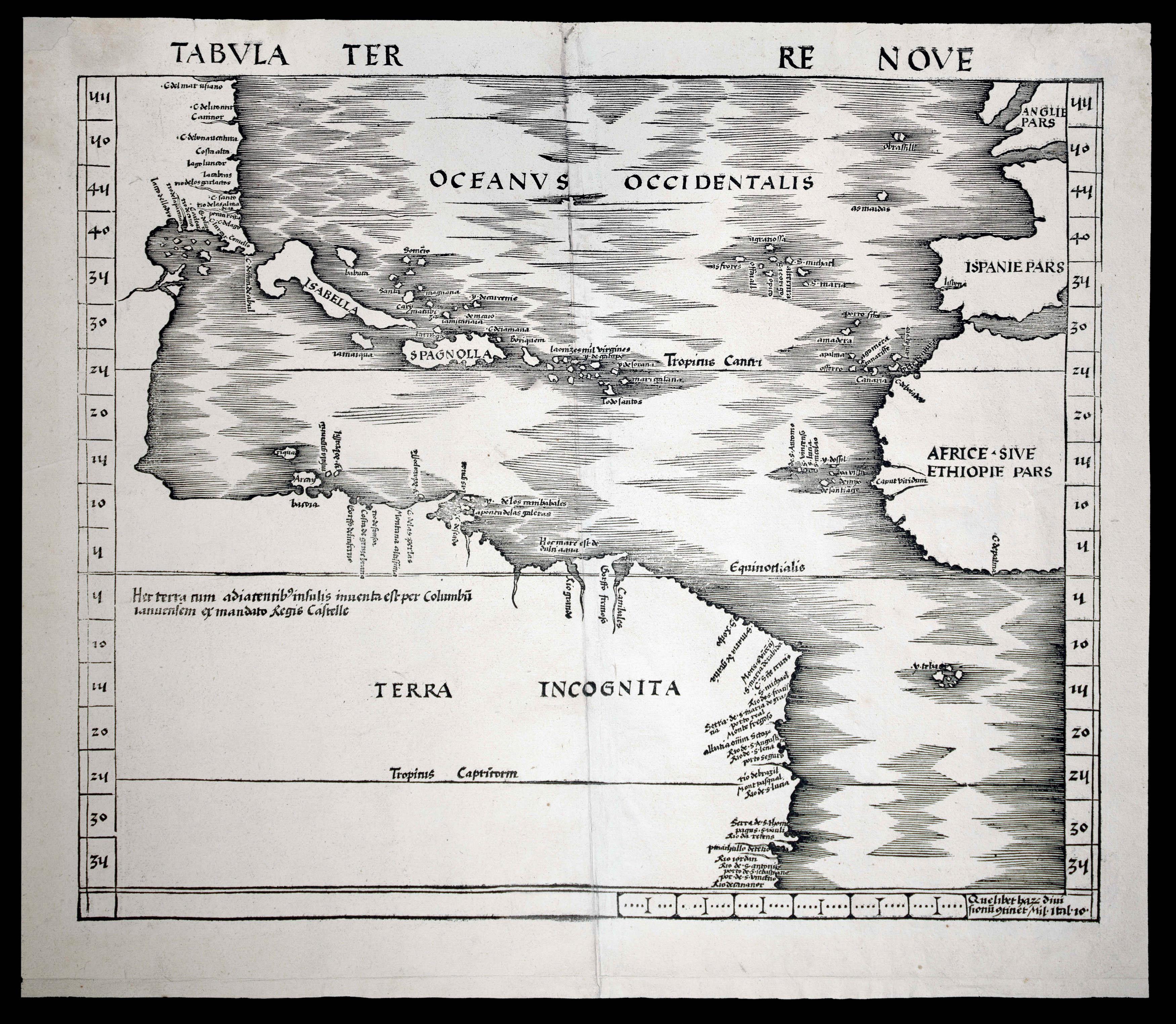
A striking map of Southeast Asia from the 1482 Ulm Ptolemy
1 x
£37,500
|
£37,500 |
|
£37,500 |
|
× |
 |
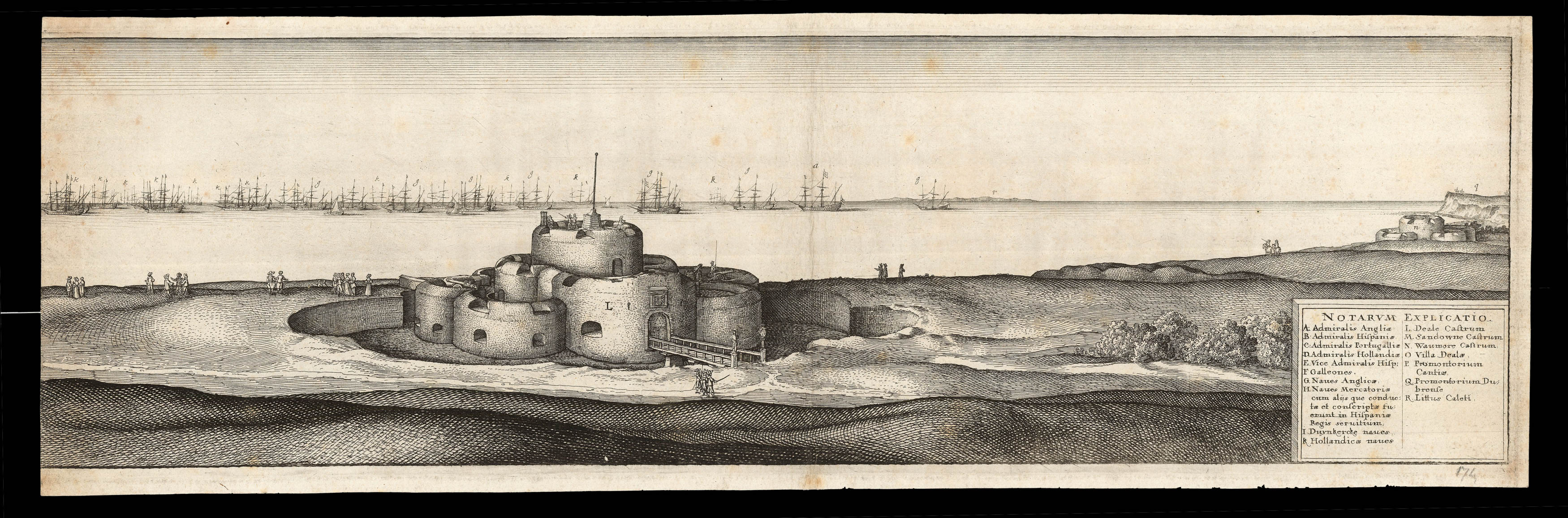
A guide to sailing to Jamaica
1 x
£6,000
|
£6,000 |
|
£6,000 |
|
× |
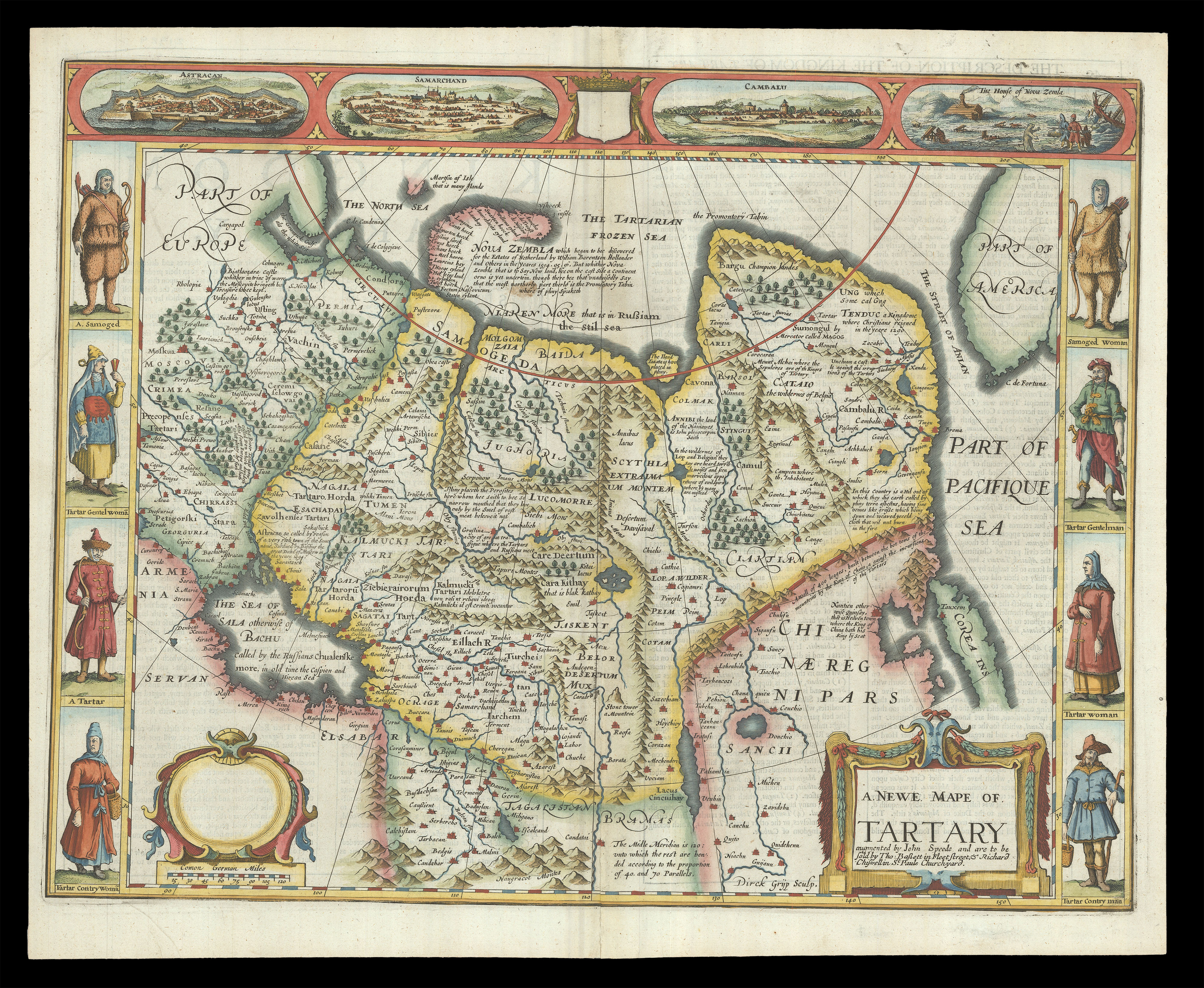 |
Speed's map of 'Tartary'
1 x
£2,200
|
£2,200 |
|
£2,200 |
|
× |
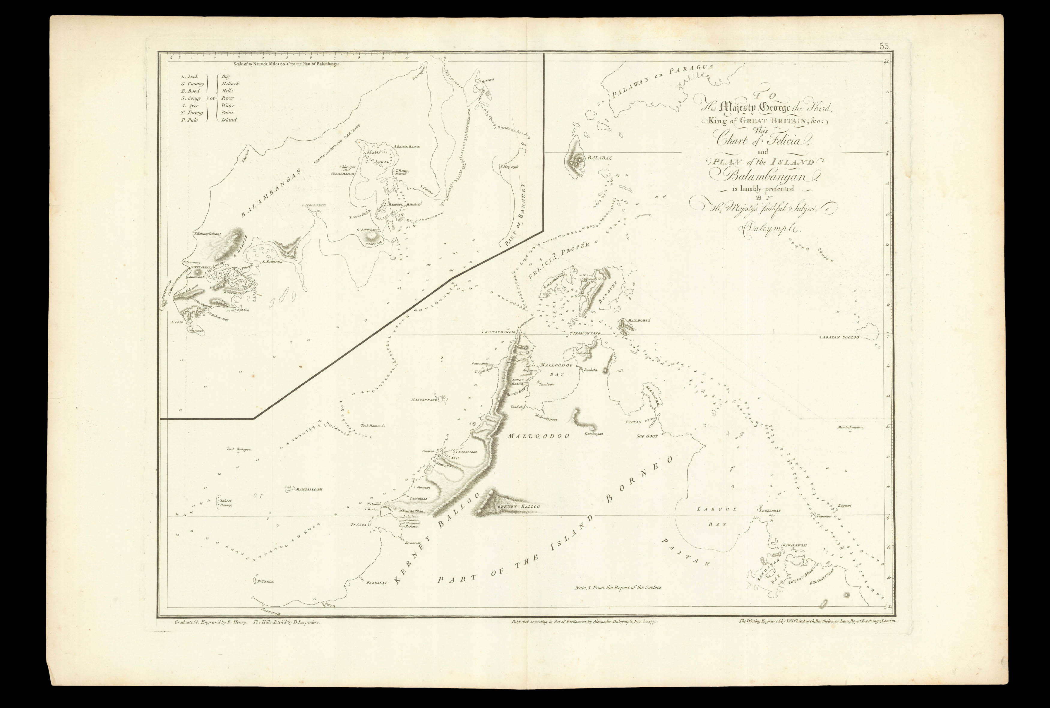 |
Dalrymple proposes an EIC settlement on Balambangan
1 x
£370
|
£370 |
|
£370 |
|
× |
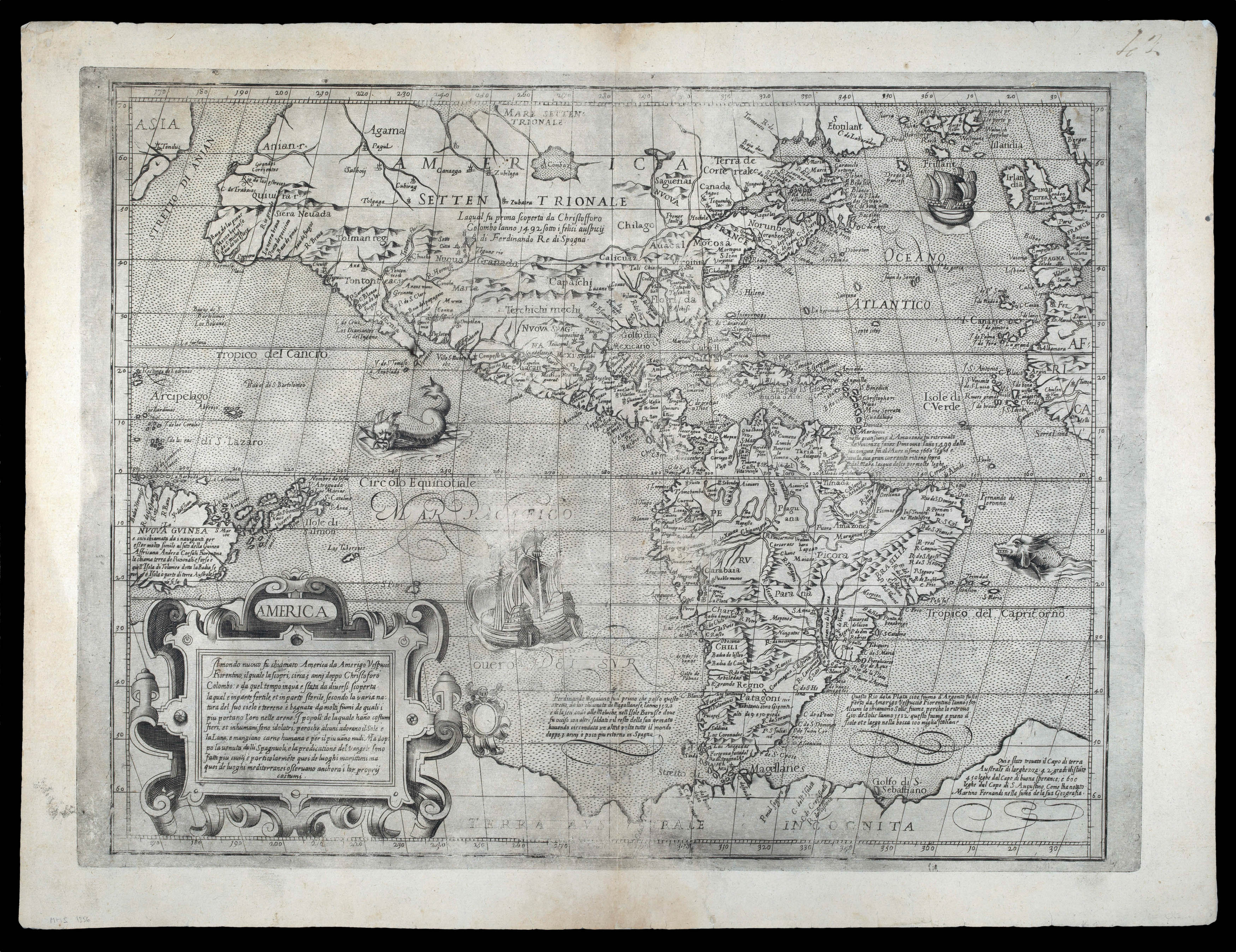 |
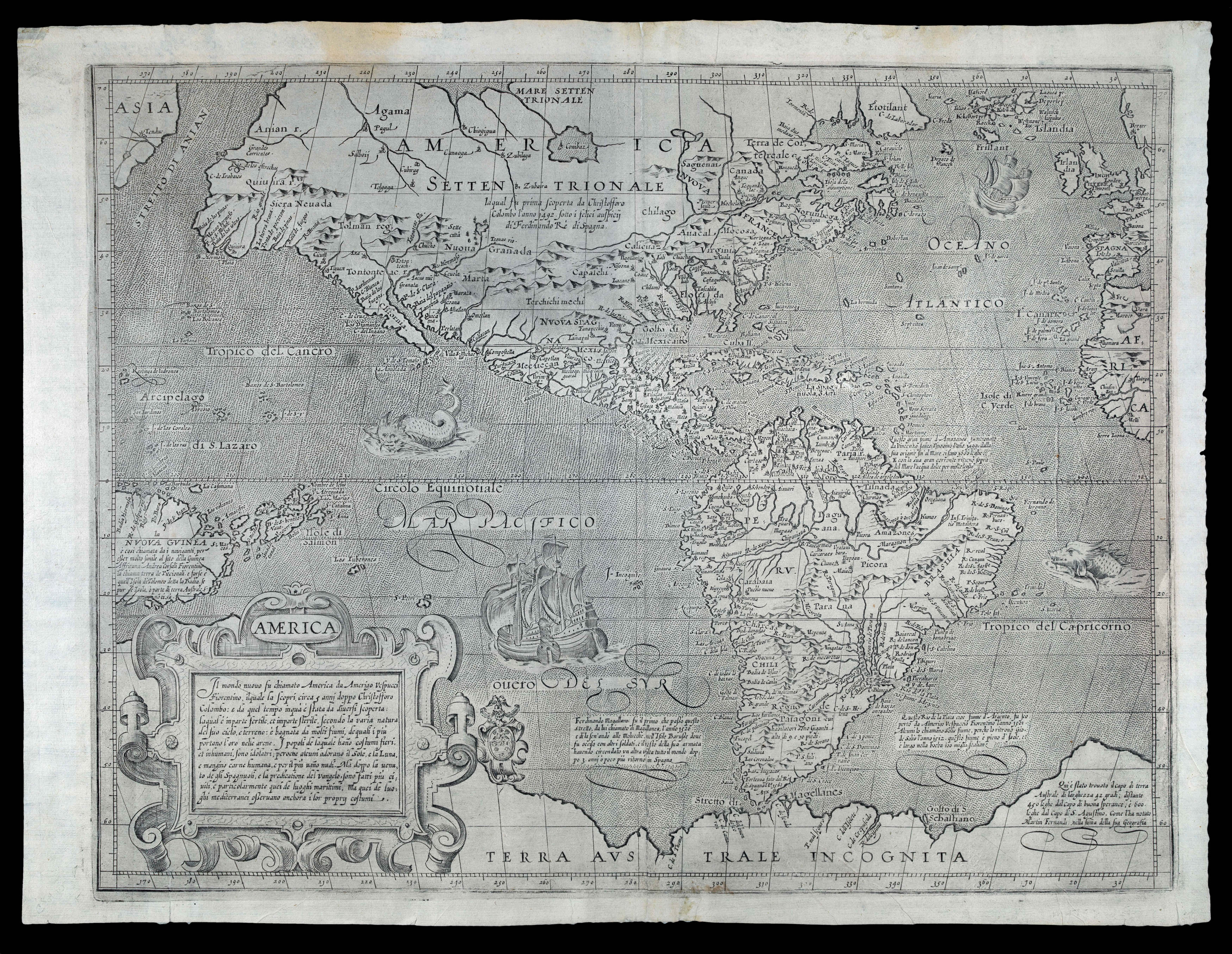
Lafreri school map of the Americas
1 x
£27,500
|
£27,500 |
|
£27,500 |
|
× |
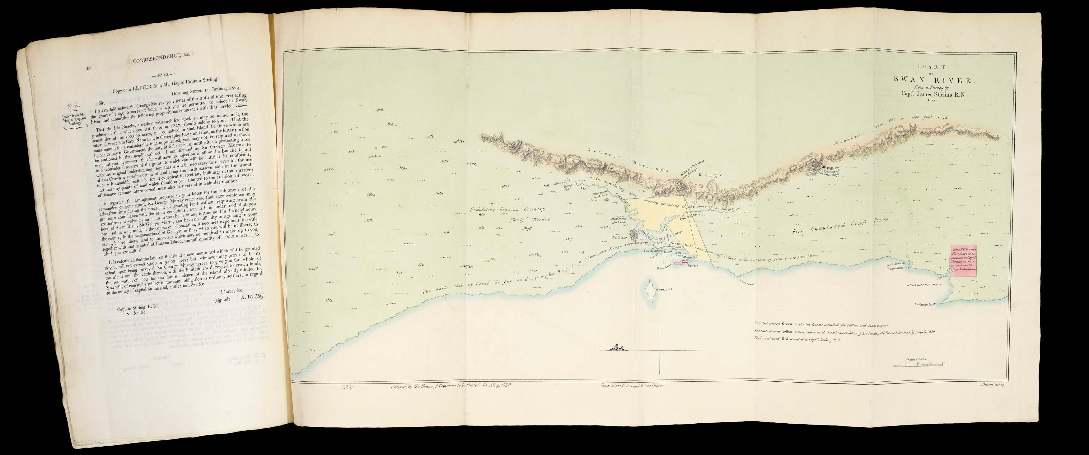 |
"The capabilities of this most important possession to the British interest are too numerous for the undersigned here to set forth" (Peel)
1 x
£12,000
|
£12,000 |
|
£12,000 |
|
× |
 |
The first map devoted to America to appear in an atlas
1 x
£50,000
|
£50,000 |
|
£50,000 |
|
× |
 |
John Rocque's rare index to his large wall map of Dublin, including a price list of all Rocque's published works
1 x
£1,200
|
£1,200 |
|
£1,200 |
|
× |
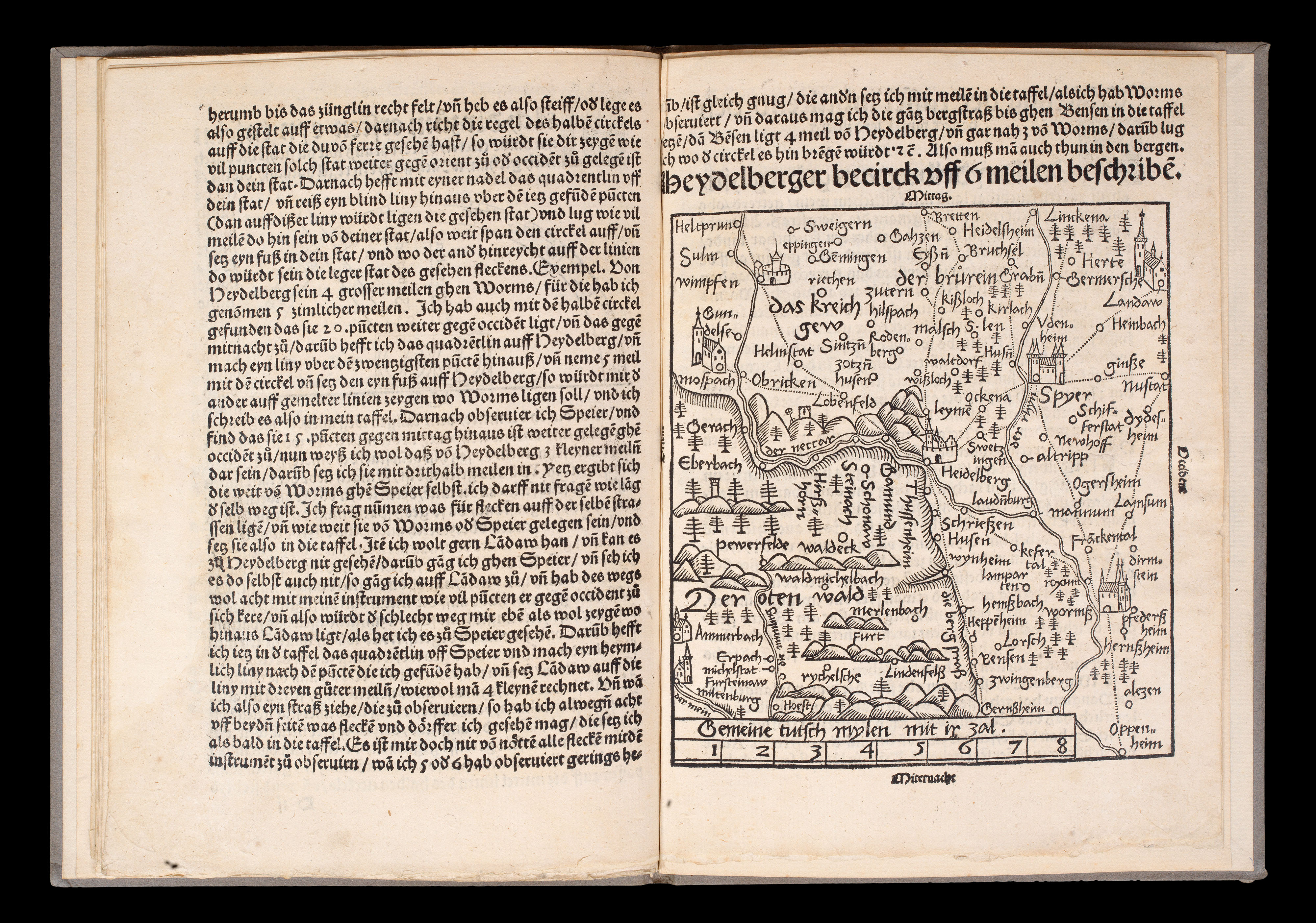 |
The seminal standardization of cartography
1 x
£18,000
|
£18,000 |
|
£18,000 |
|
× |
![JODE, Gerard de Moscoviae Maximi amplissimi Que Ducatus. [WITH] Livoniae Provinciae ac Eius.](https://omega.crouchrarebooks.com/wp-content/uploads/2025/03/13044_1H.jpg) |
De Jode's rare map of Russia in full original colour
1 x
£5,000
|
£5,000 |
|
£5,000 |
|
× |
 |
Arnoldi's separately-published map of the Americas, with the thumb print of the printer!
1 x
£30,000
|
£30,000 |
|
£30,000 |
|
× |
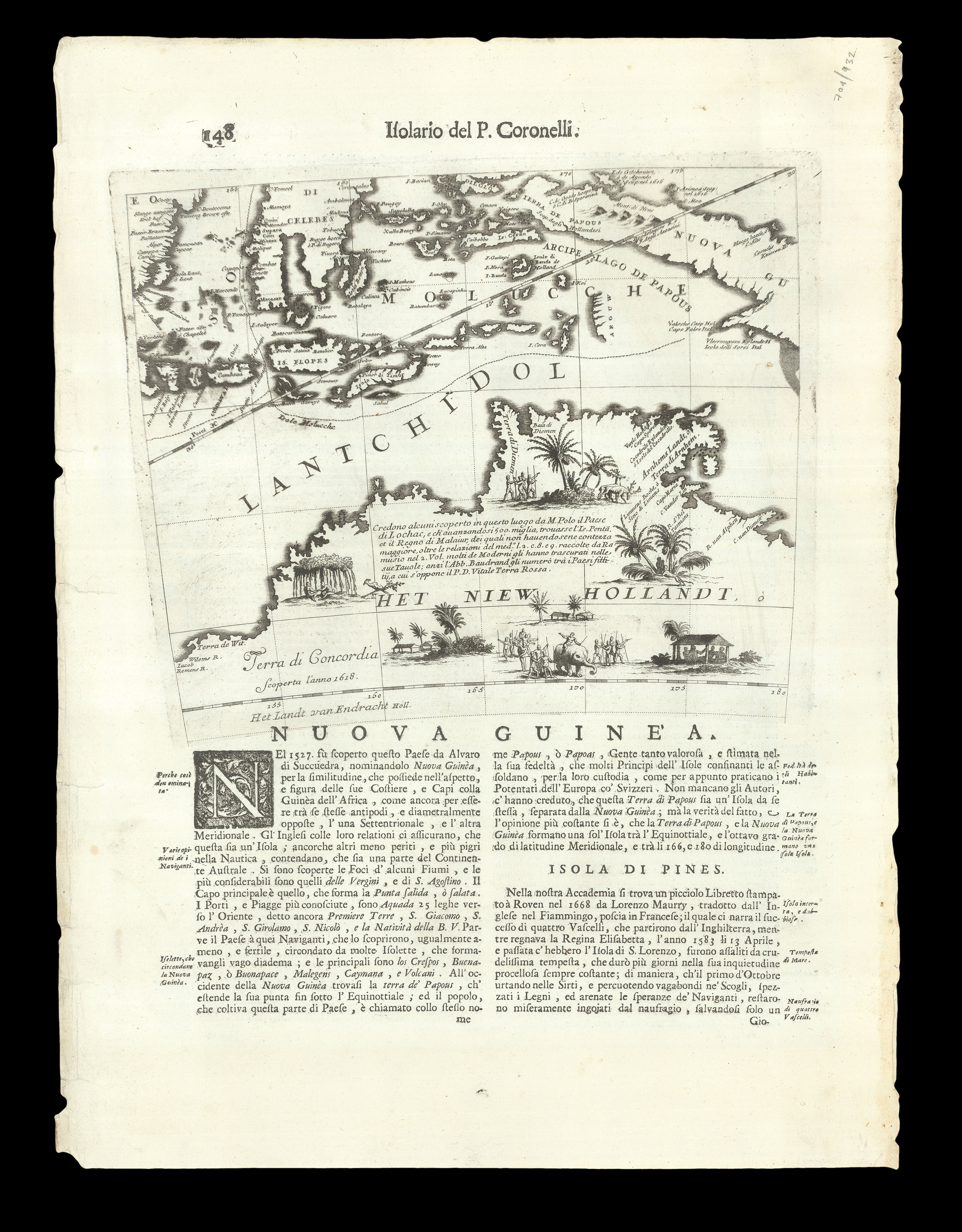 |
"Het Niew Hollandt"
1 x
£1,000
|
£1,000 |
|
£1,000 |
|
× |
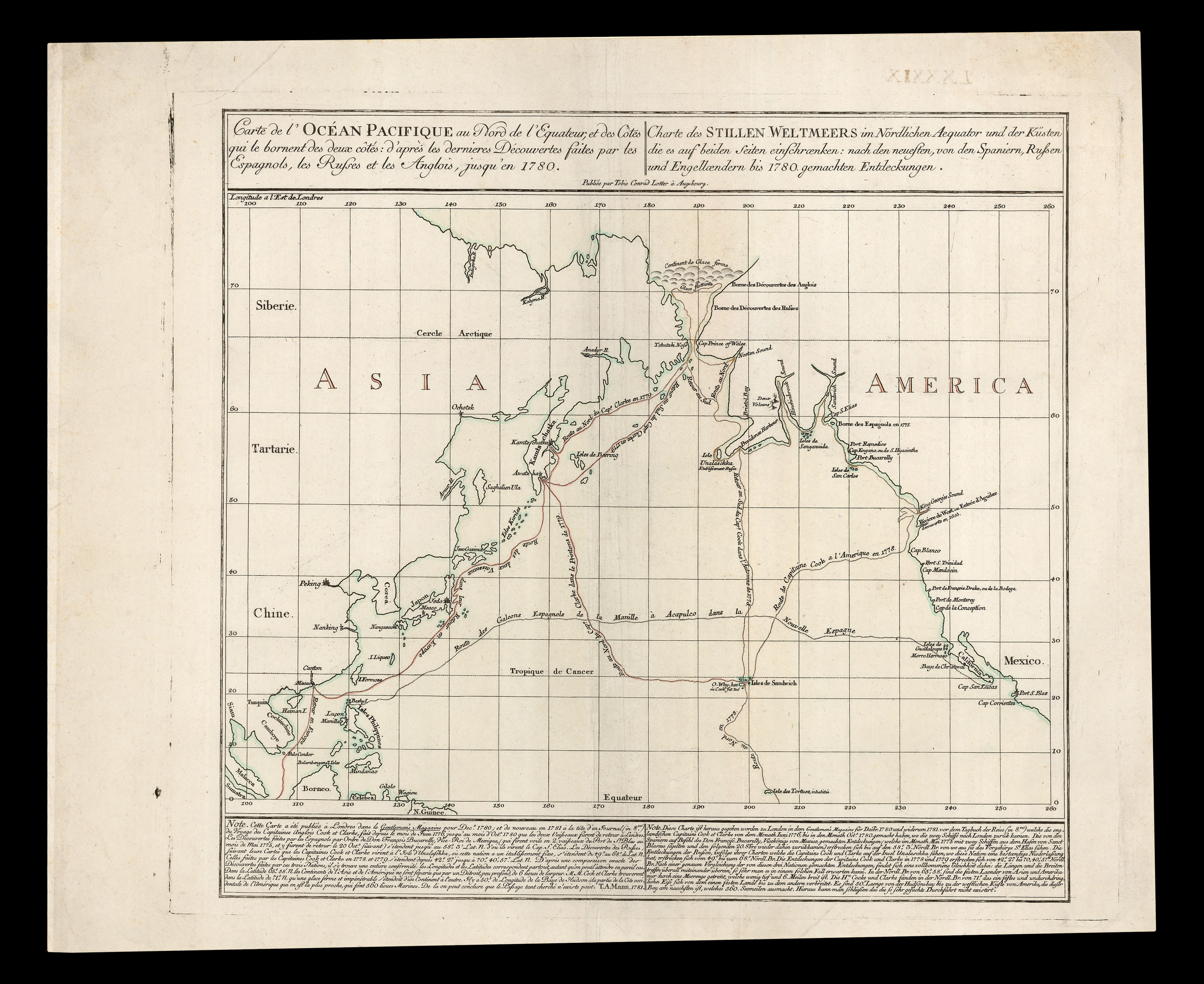 |
The first separately-issued map to depict Hawaii
1 x
£1,000
|
£1,000 |
|
£1,000 |
|
× |
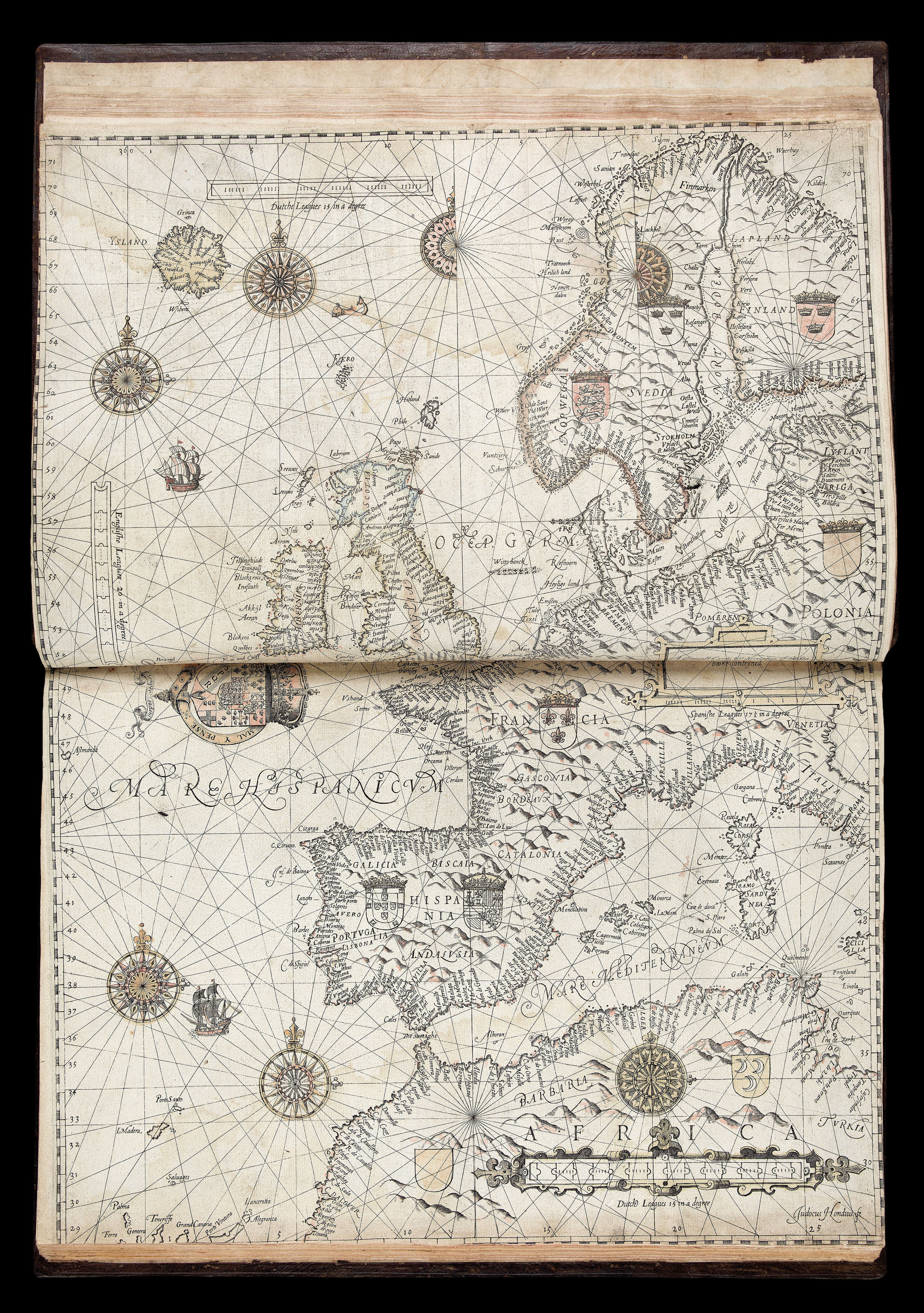 |
The first sea pilot printed in English
1 x
£195,000
|
£195,000 |
|
£195,000 |
|
|


