
Rare Maps

Rare Atlases

Rare Books

Rare Prints

![PURCHAS, Samuel Purchas his pilgrimes... [WITH] Purchas his pilgrimage. Or relations of the world and the religions observed in all ages and places.](https://omega.crouchrarebooks.com/wp-content/uploads/2025/03/1008_1H.jpg)
By PURCHAS, Samuel, 1625 [but 1626].
![[after VAN SYPE, Nicolas] La heroike interprinse faict par le Signeur Draeck d'avoir cirquit toute la terre.](https://omega.crouchrarebooks.com/wp-content/uploads/2025/03/23148_1H.jpg)
By [after VAN SYPE, Nicolas], c1587].
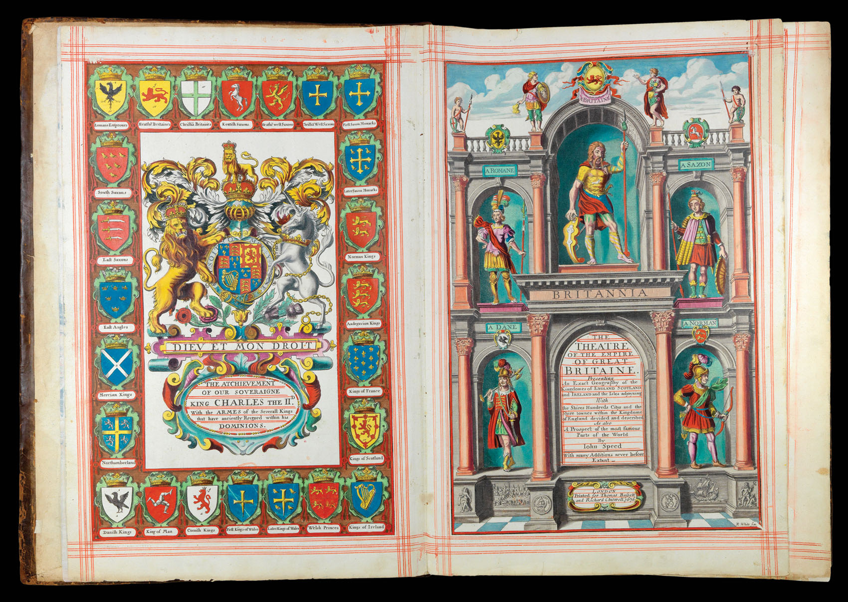
By SPEED, John, 1676
![[after VAN SYPE, Nicolas] La heroike interprinse faict par le Signeur Draeck d'avoir cirquit toute la terre.](https://omega.crouchrarebooks.com/wp-content/uploads/2025/03/11815_1H.jpg)
By [after VAN SYPE, Nicolas], c.1587].
By BISHOP, Captain Robert; John STEPHENSON; and Robert SAYER, [?c.1796].