|
× |
 |
Detailed chart of the Singapore Strait
1 x
£3,700
|
£3,700 |
|
£3,700 |
|
× |
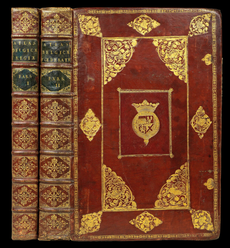 |
An exceptionally fine example of Blaeu's great work on the towns of the Netherlands bound in full red morocco with the coats-of-arms of James Butler, 1st Duke of Ormond
1 x
£300,000
|
£300,000 |
|
£300,000 |
|
× |
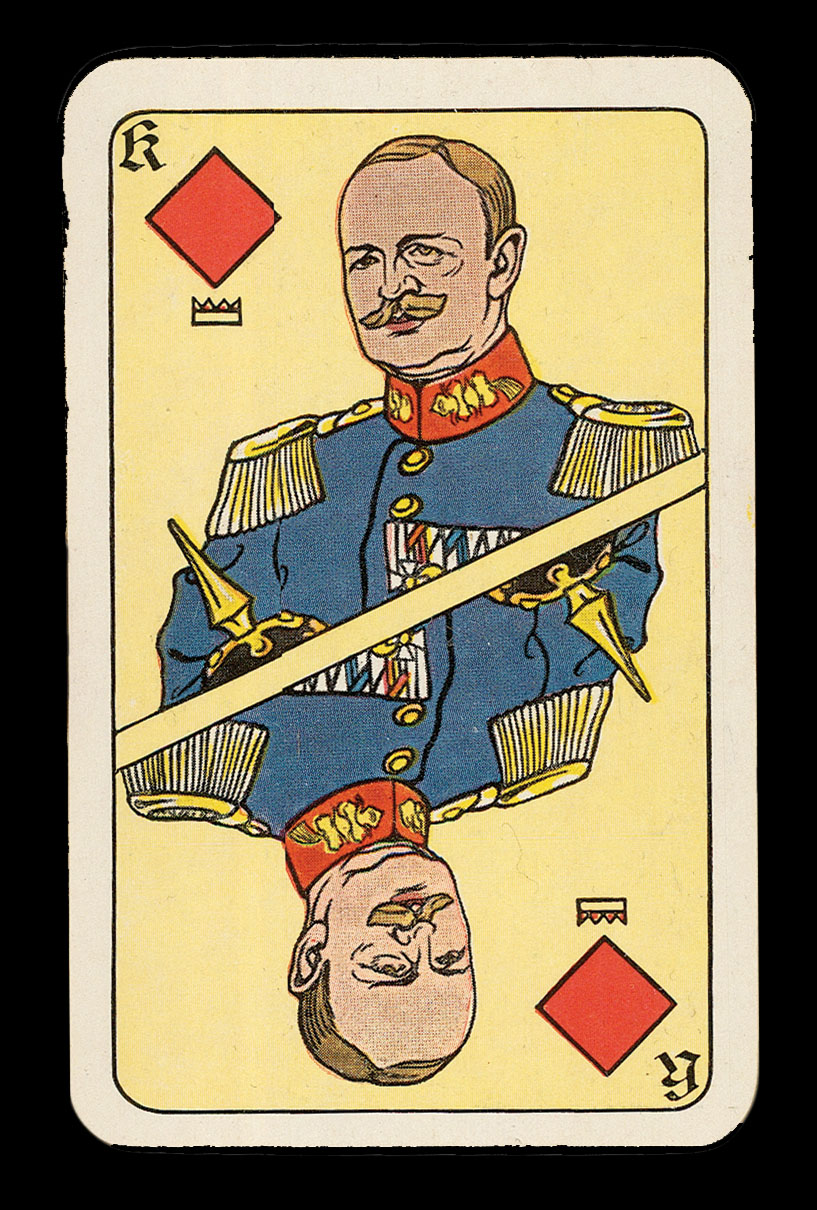 |
German WWI Cards
1 x
£1,500
|
£1,500 |
|
£1,500 |
|
× |
![GOODALL, Cha[rle]s Goodall's Victorian Playing Cards](https://omega.crouchrarebooks.com/wp-content/uploads/2025/03/20698_1H.jpg) |
Diamond Jubilee Cards
1 x
£400
|
£400 |
|
£400 |
|
× |
 |
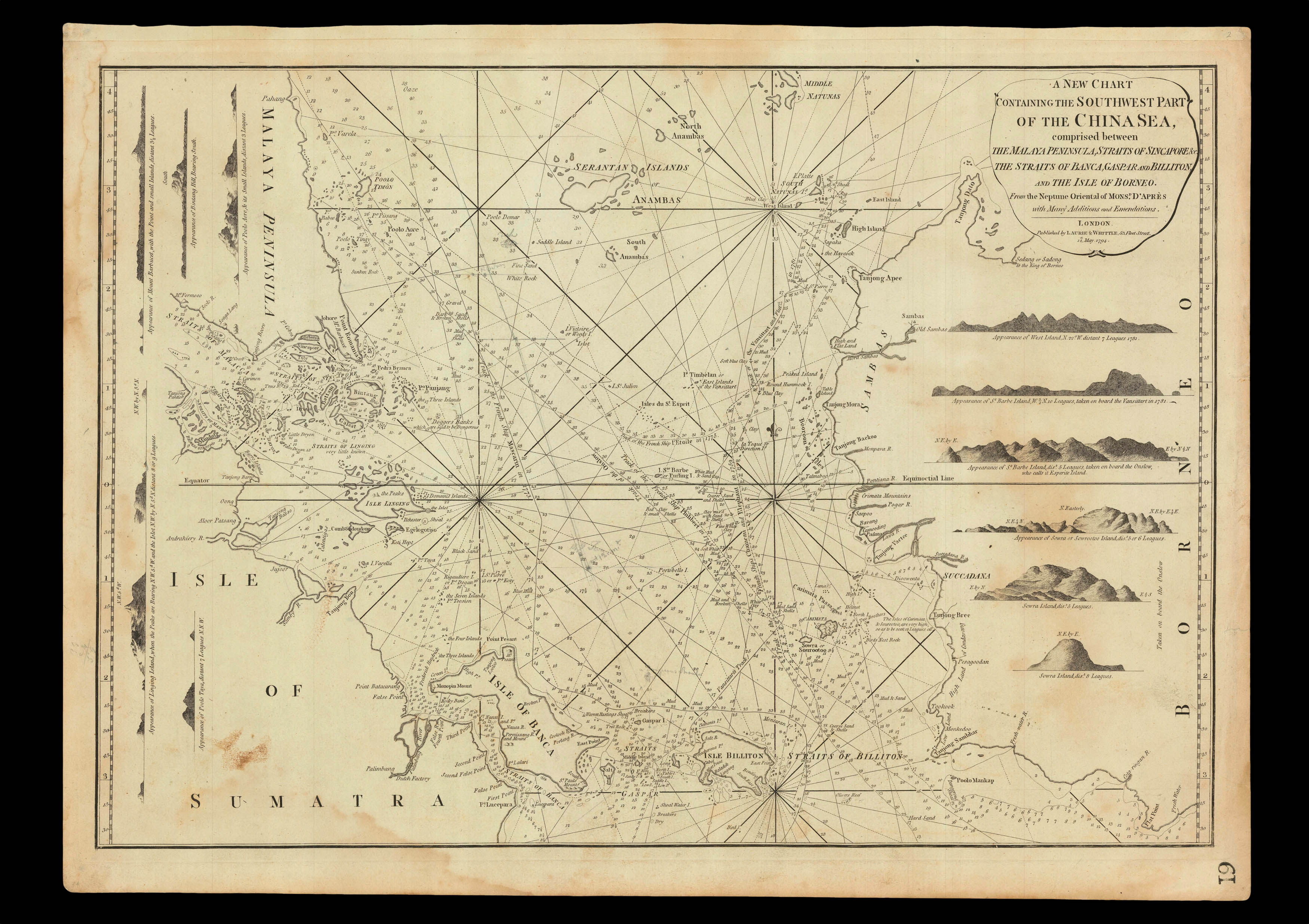
"...being the best for LEAKY VESSELS, during the strength of the S.W. Monsoon"
1 x
£5,750
|
£5,750 |
|
£5,750 |
|
× |
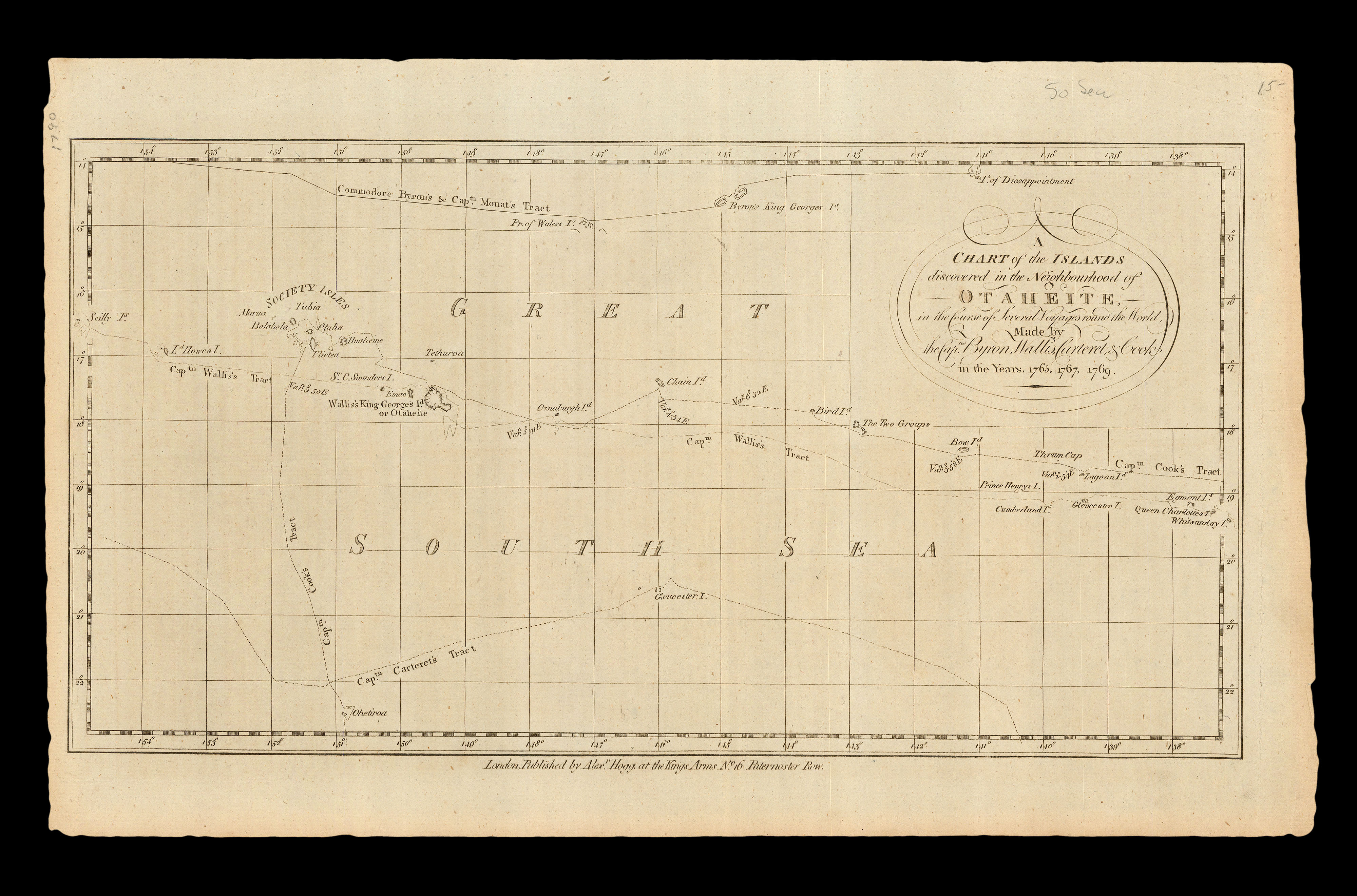 |
The Society Islands
1 x
£750
|
£750 |
|
£750 |
|
× |
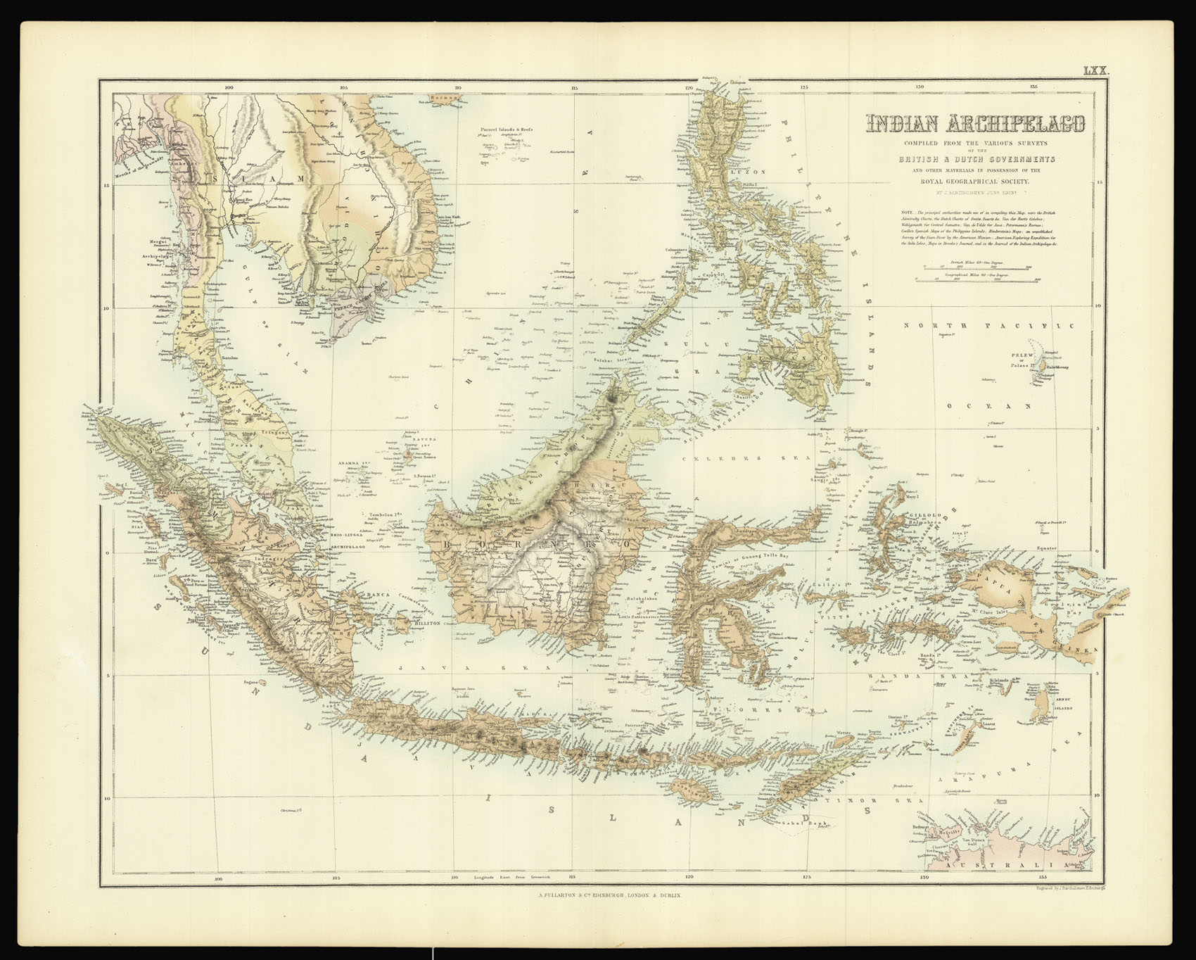 |
Bartholomew's Southeast Asia
1 x
£150
|
£150 |
|
£150 |
|
× |
![[Anonymous] L'Attaque et la Riposte](https://omega.crouchrarebooks.com/wp-content/uploads/2025/03/1735_1H.jpg) |
French Caricature cards of the Outbreak of the First World War
1 x
£1,200
|
£1,200 |
|
£1,200 |
|
× |
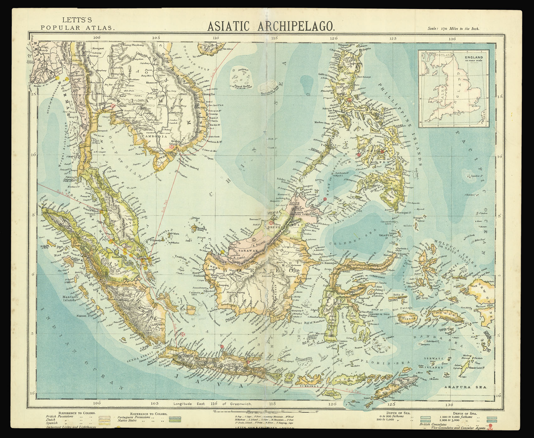 |
Southeast Asia
1 x
£60
|
£60 |
|
£60 |
|
× |
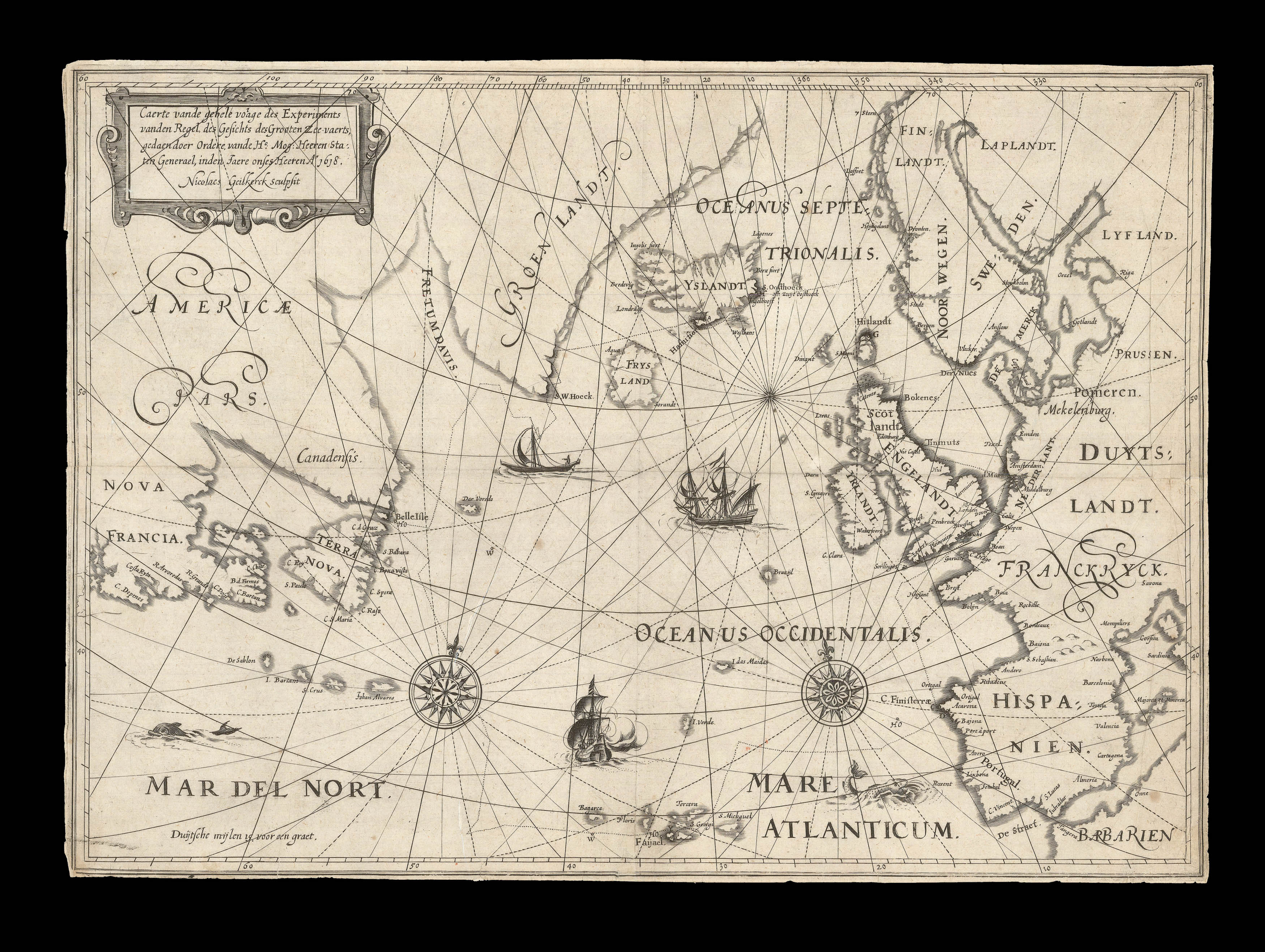 |
Jarichs' Solution to the Longitude Problem
1 x
£30,000
|
£30,000 |
|
£30,000 |
|
× |
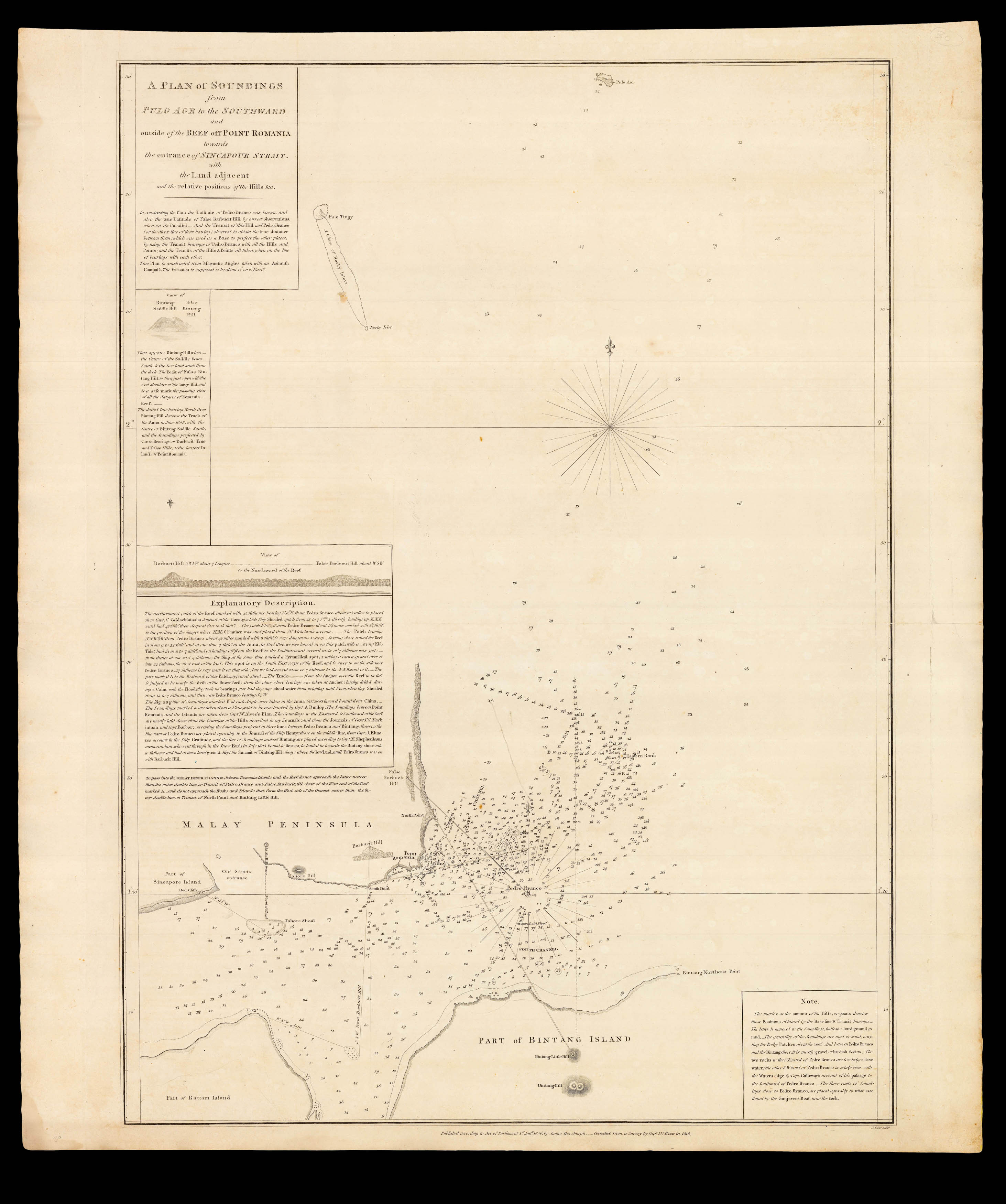 |
The eastern entrance to the Singapore Strait
1 x
£4,000
|
£4,000 |
|
£4,000 |
|
× |
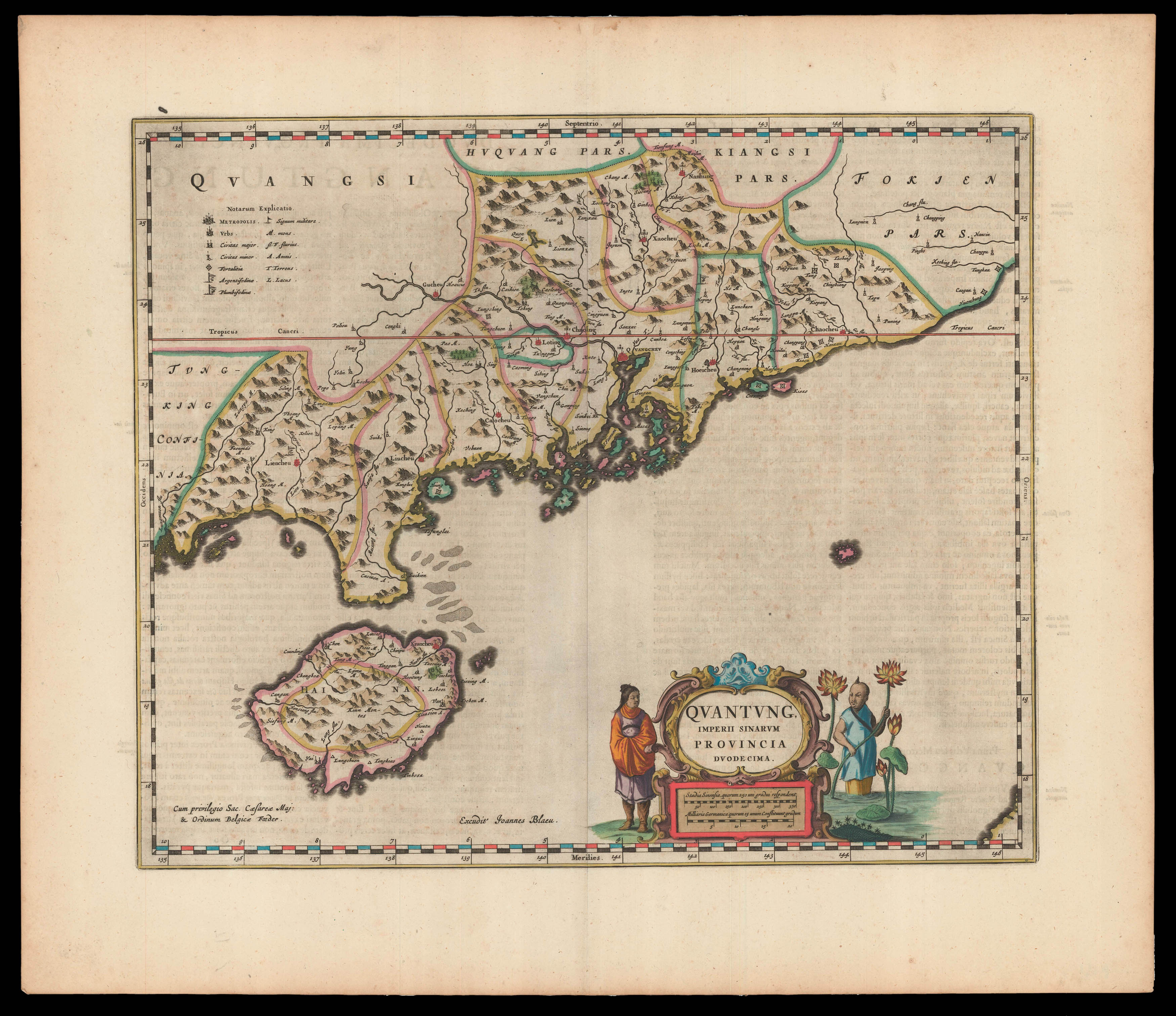 |
First Western Map of Quantung
1 x
£3,500
|
£3,500 |
|
£3,500 |
|
× |
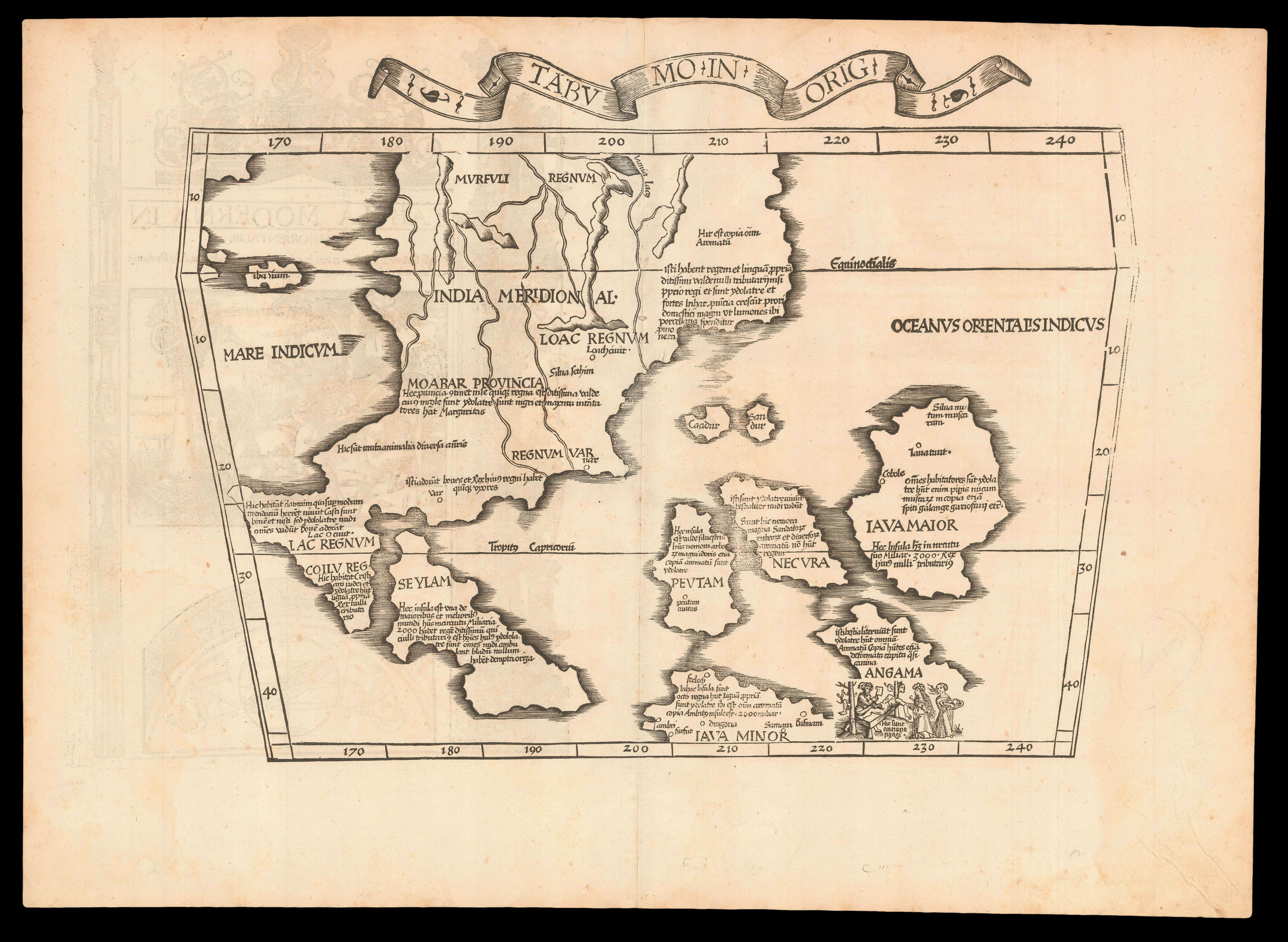 |
"The first printed map of European origin devoted to Southeast Asia and its islands" (Suarez)
1 x
£7,200
|
£7,200 |
|
£7,200 |
|
× |
 |
An innovative globe
1 x
£3,000
|
£3,000 |
|
£3,000 |
|
× |
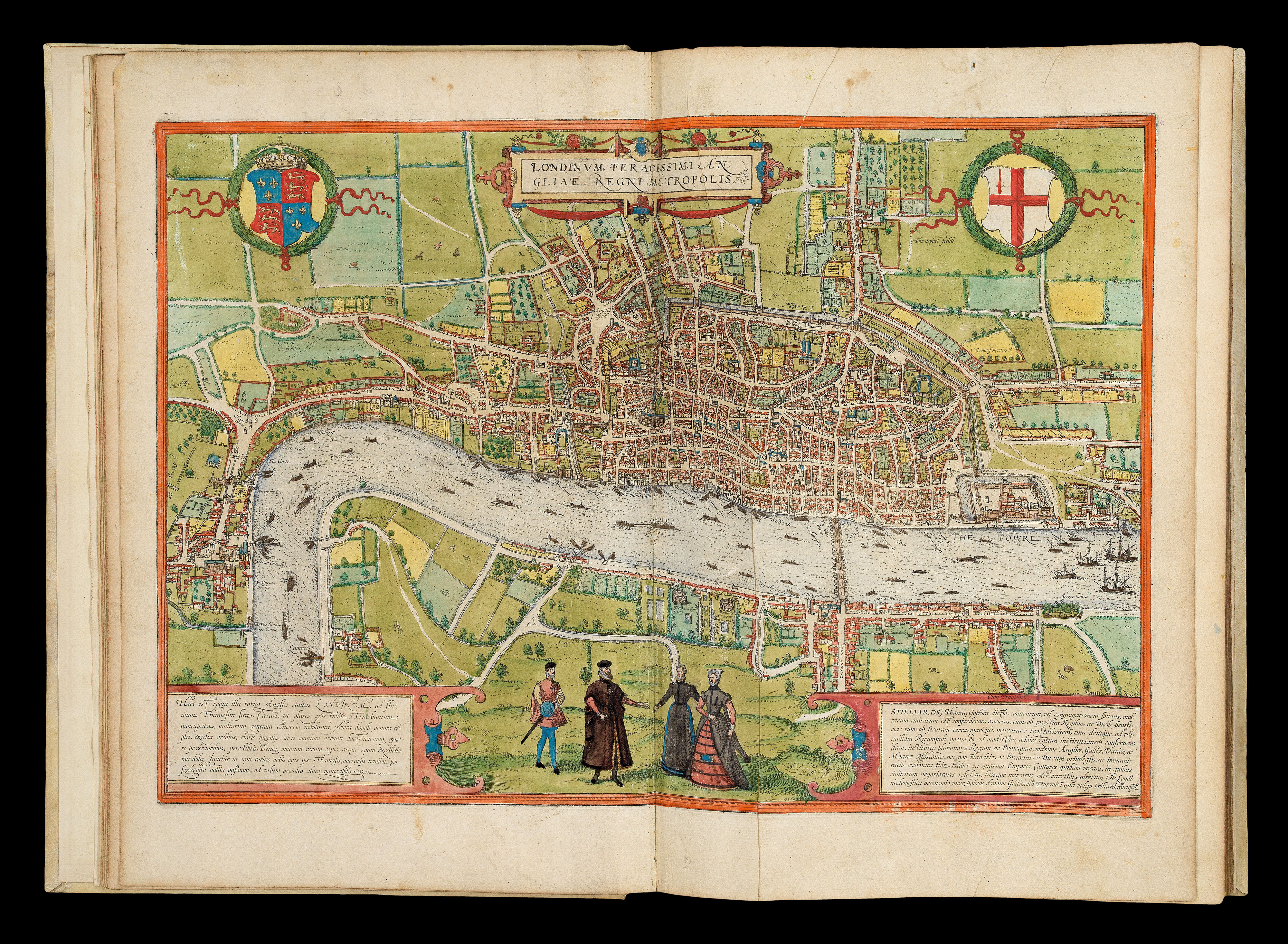 |
The earliest systematic city atlas
1 x
£300,000
|
£300,000 |
|
£300,000 |
|
× |
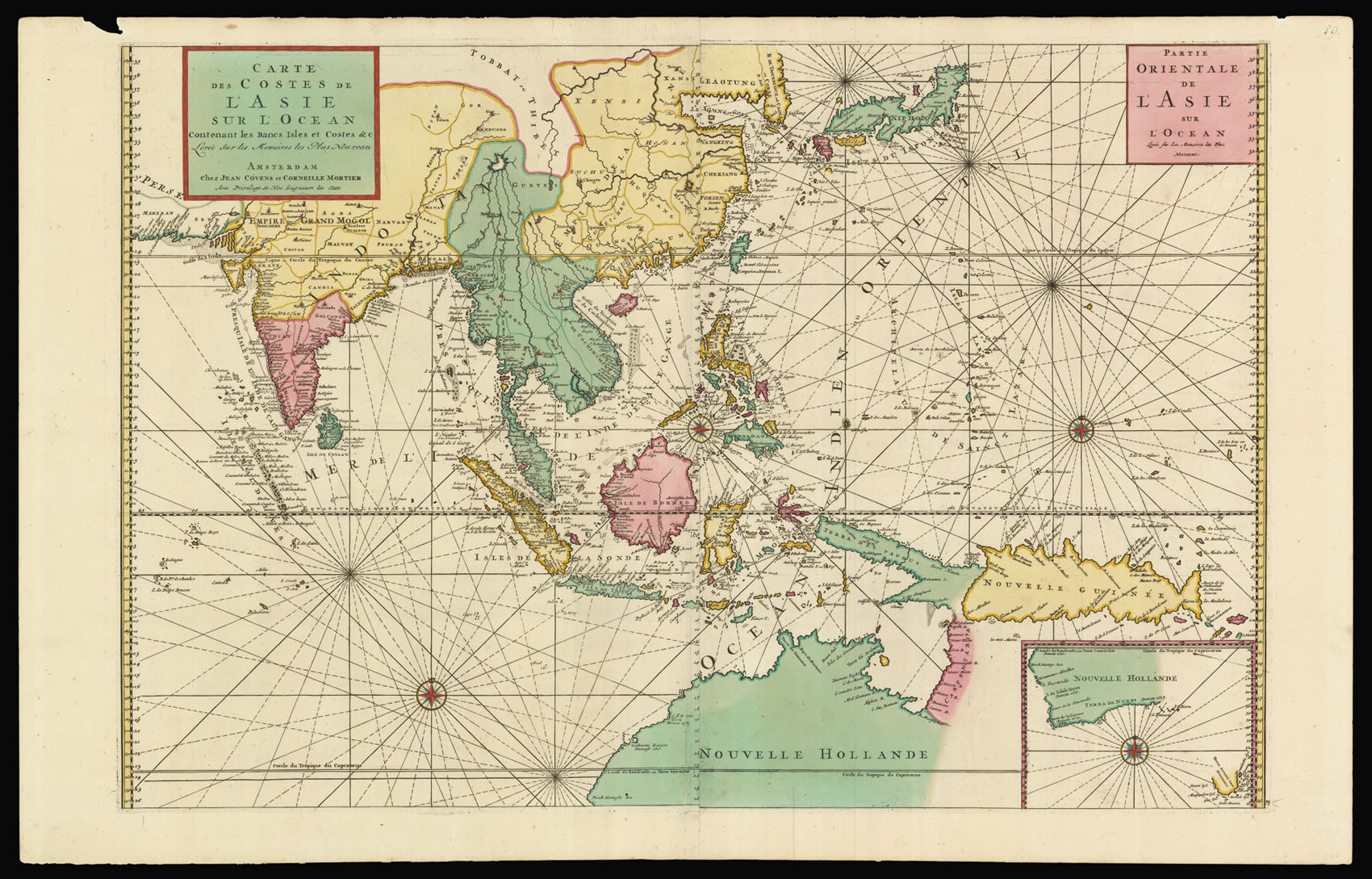 |
Covens and Mortier's Southeast Asia
1 x
£6,000
|
£6,000 |
|
£6,000 |
|
× |
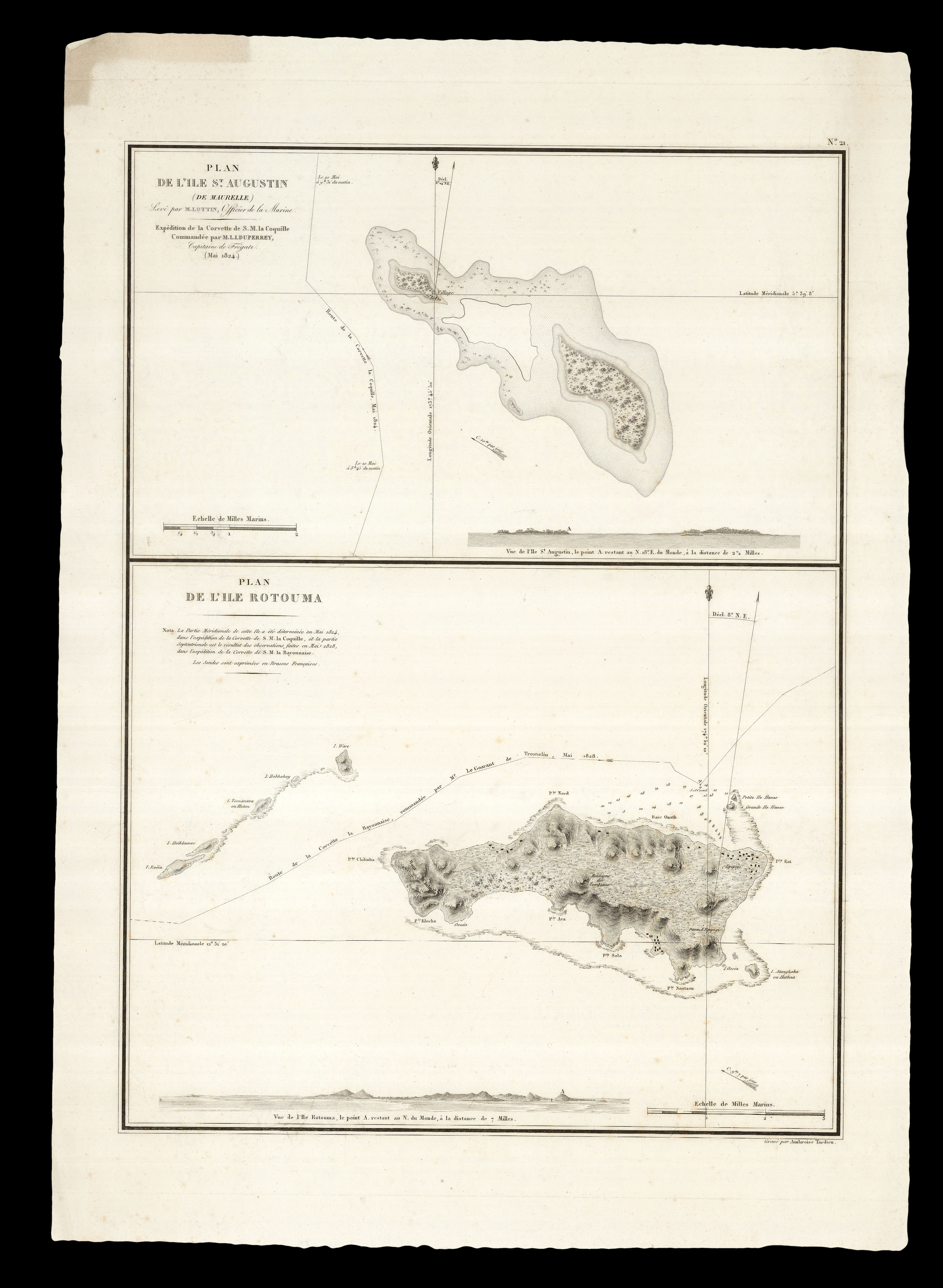 |
Following in Louis Freycinet's "footsteps"
1 x
£250
|
£250 |
|
£250 |
|
× |
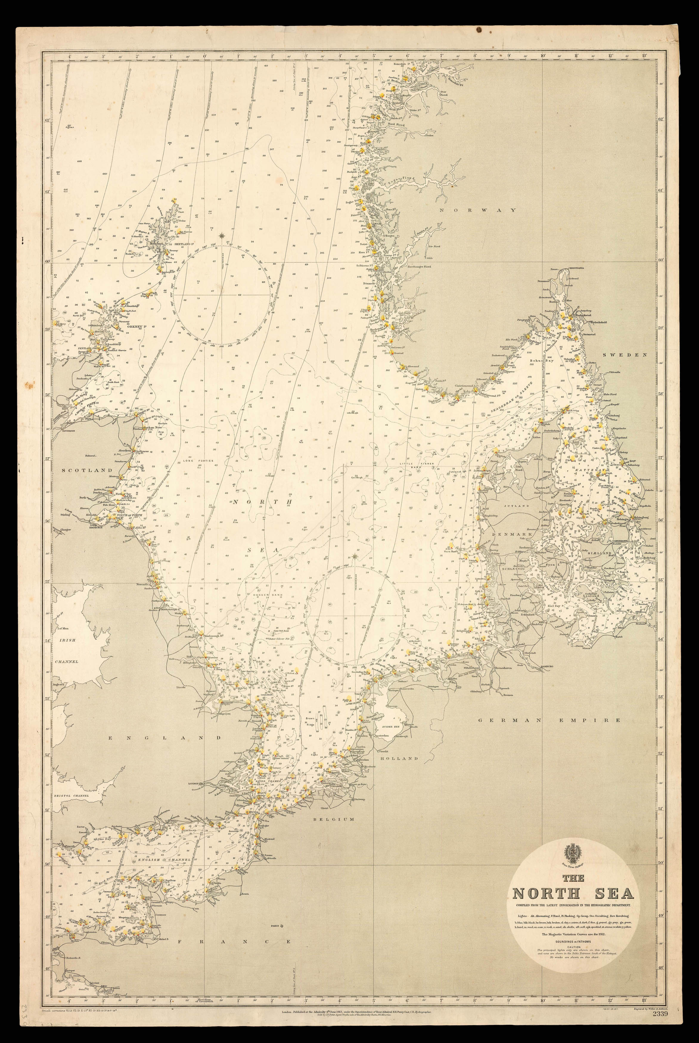 |
Admiralty Chart of the North Sea
1 x
£750
|
£750 |
|
£750 |
|
× |
![LUFFMAN, John A Map of the Western Pyrenees Mount[ai]ns](https://omega.crouchrarebooks.com/wp-content/uploads/2025/03/11348_1H.jpg) |
The final phase of the Peninsular War
1 x
£1,200
|
£1,200 |
|
£1,200 |
|
|


