No products in the basket.
Return to shop
The Grierson pirated edition of Moll’s map of southeast Asia
By MOLL, Herman, 1735].
Early chart of the Banda islands
By VALENTYN, François, [1724-1726].
The Sulu Archipelago
By DALRYMPLE, Alexander, Dec.r 10, 1771
First large-scale map of the Spice Islands by an Englishman
By DUDLEY, Robert, 1647].
Dudley’s chart of the Philippines
By DUDLEY, Robert, 1661
Map of Singapore, the Molucques, Java and Borneo,
By LE ROUGE, George Louis, 1756
From Calcutta through the Malacca Strait and beyond
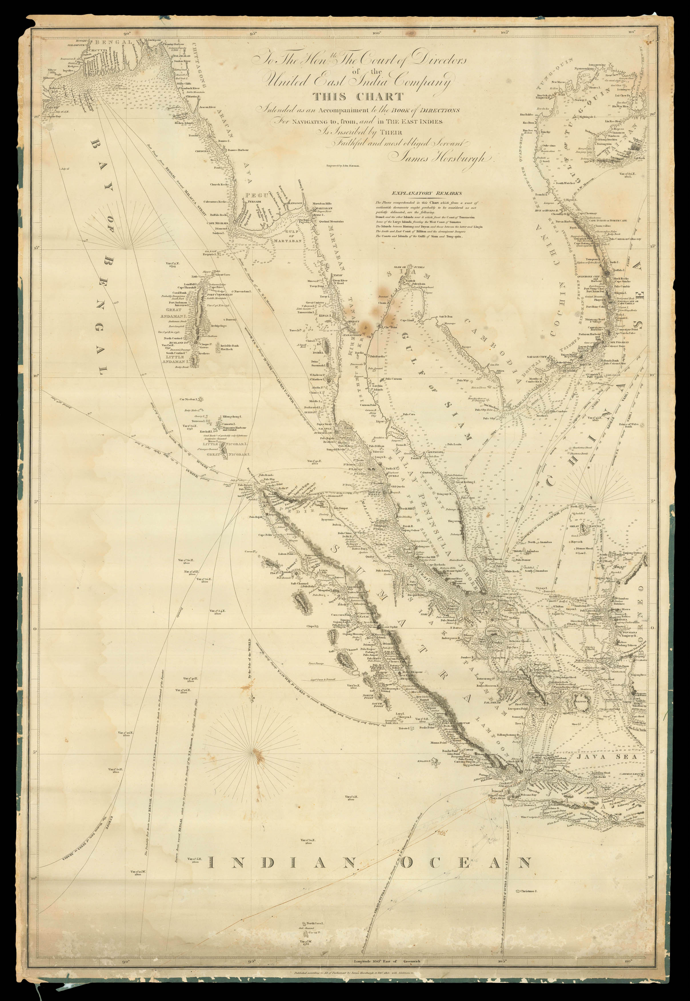
By HORSBURGH, James, 12 Feb.y, 1813, with Additions to [?1833].
Covens and Mortier’s Southeast Asia
By COVENS, Johannes and MORTIER, Cornelius, [c1720].
Sumatra
By WELLER, Edward, [1857].
“in all these straits Piratical Proas usually Lurk, ready to Assault Defenceless Vessels…”
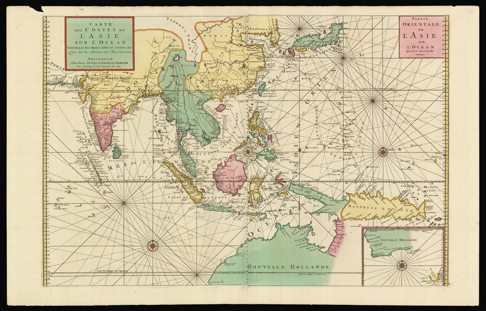
By HORSBURGH, James, Jan.y 1, 1819.
Southeast Asia
By LETTS & SON, [1882].
The Sunda Strait
Username or email address *Required
Password *Required
Remember me Log in
Lost your password?
Email address *Required
A link to set a new password will be sent to your email address.
Your personal data will be used to support your experience throughout this website, to manage access to your account, and for other purposes described in our privacy policy.
Register