Rare Maps

Rare Atlases

Rare Books

Rare Prints

![[ARROWSMITH, Aaron] Japon.](https://omega.crouchrarebooks.com/wp-content/uploads/2025/03/15836_1H.jpg)
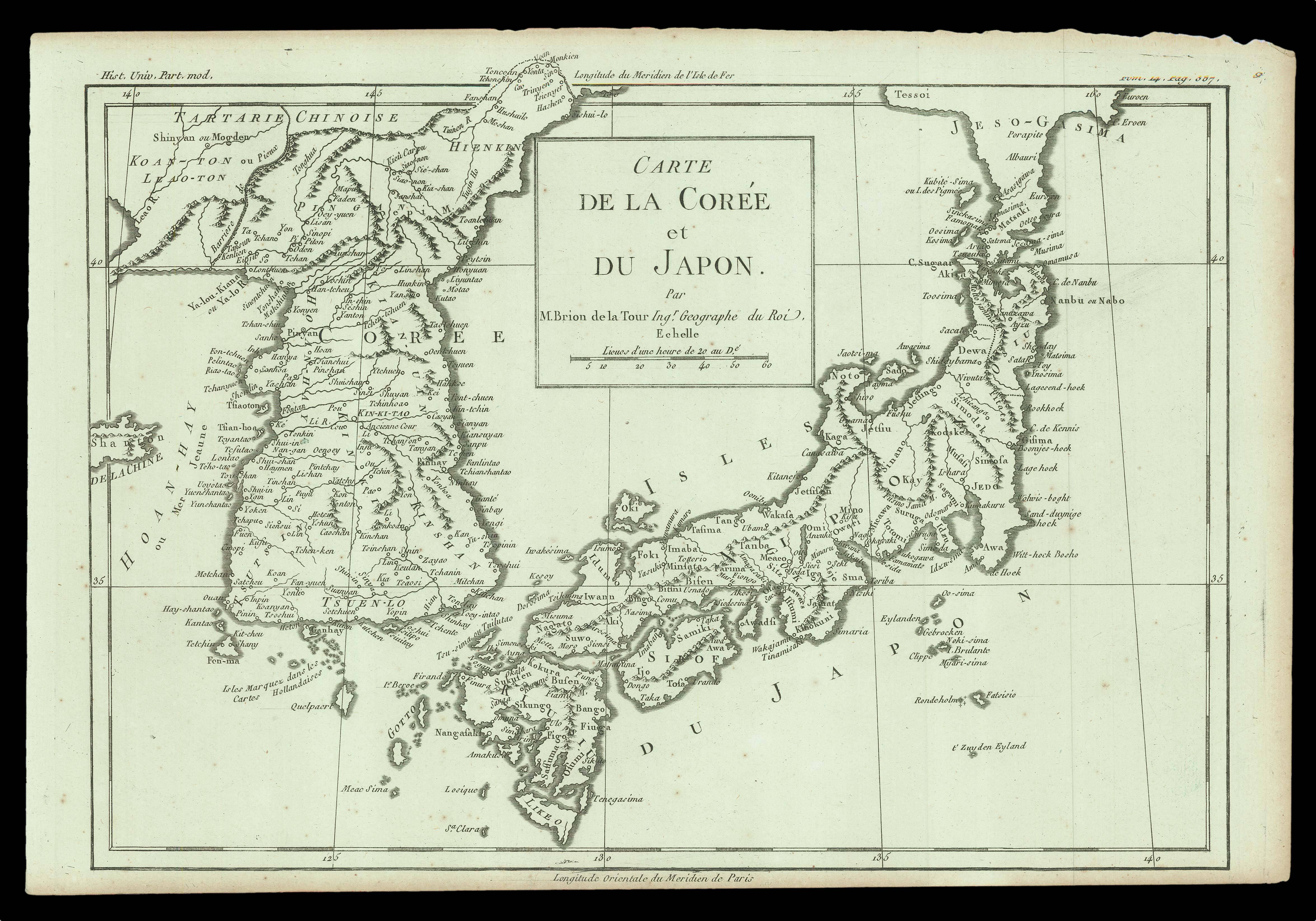
![MAYER, Tobias [Carte Generale de Tartarie Chinoise] des Royaumes de Coree et de Iapan](https://omega.crouchrarebooks.com/wp-content/uploads/2025/03/15920_1H.jpg)
By LAKE SURVEY BRANCH, ARMY MAP SERVICE, August 1945.
![DUFOUR, A[dolphe] H[ippolyte] Japon par A. H. Dufour. (pl 66).](https://omega.crouchrarebooks.com/wp-content/uploads/2025/03/15797_1H.jpg)
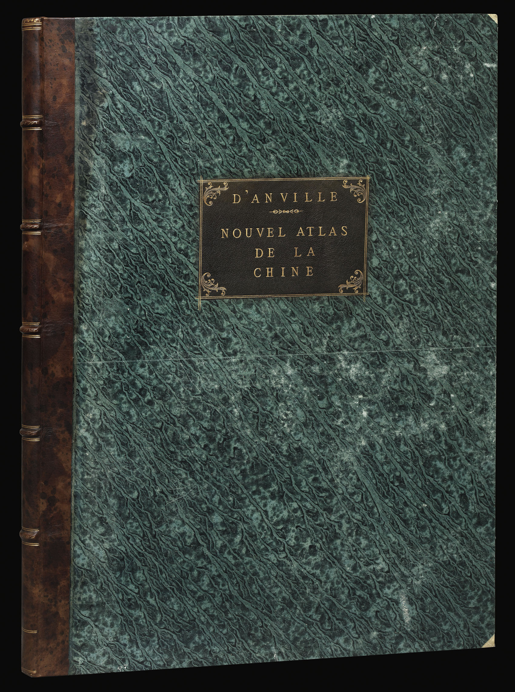
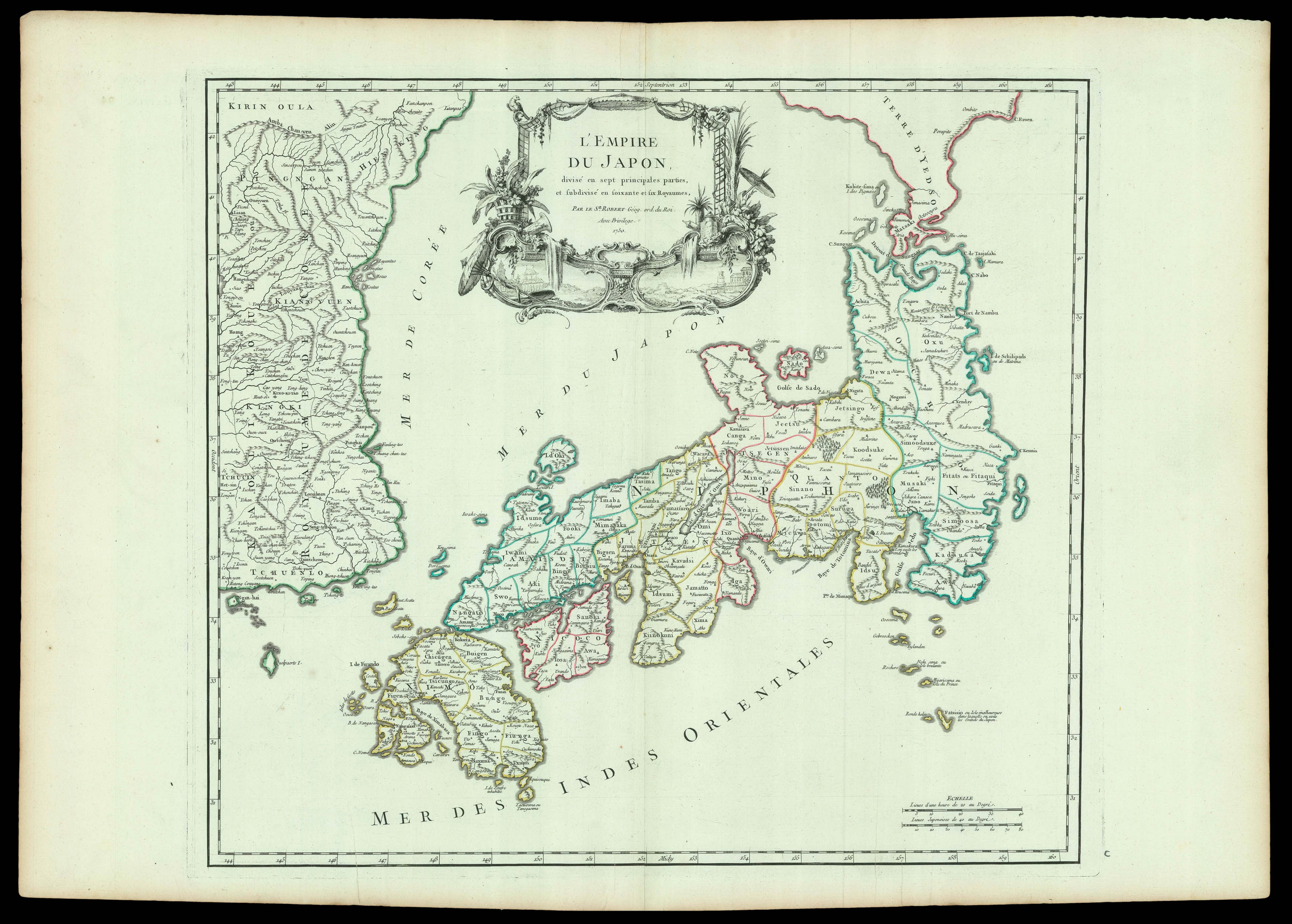
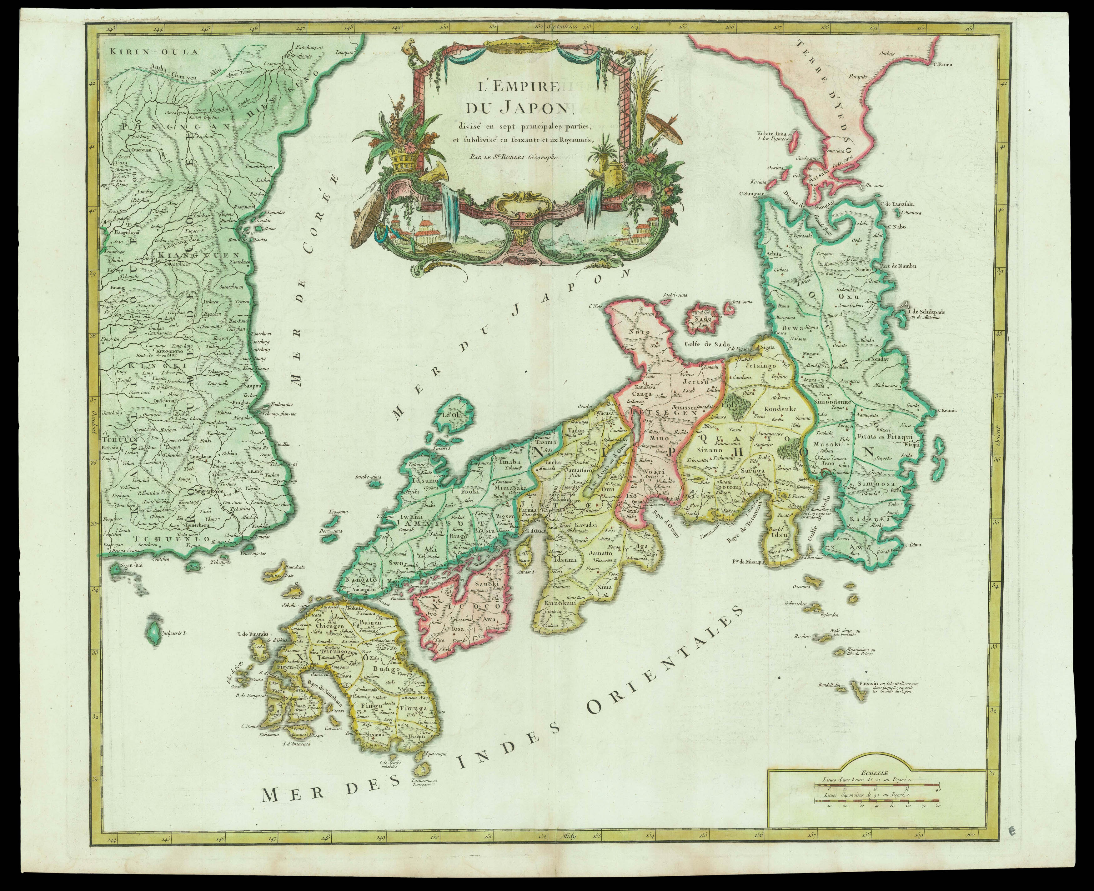
By D'ANVILLE, Jean Baptiste Bourguignon, 1737