-
×
![CARY, John [World and four continents]](https://omega.crouchrarebooks.com/wp-content/uploads/2025/03/1759_1H.jpg) Cary's rare wall maps of the world and four continents
1 × £15,000
Cary's rare wall maps of the world and four continents
1 × £15,000 -
×
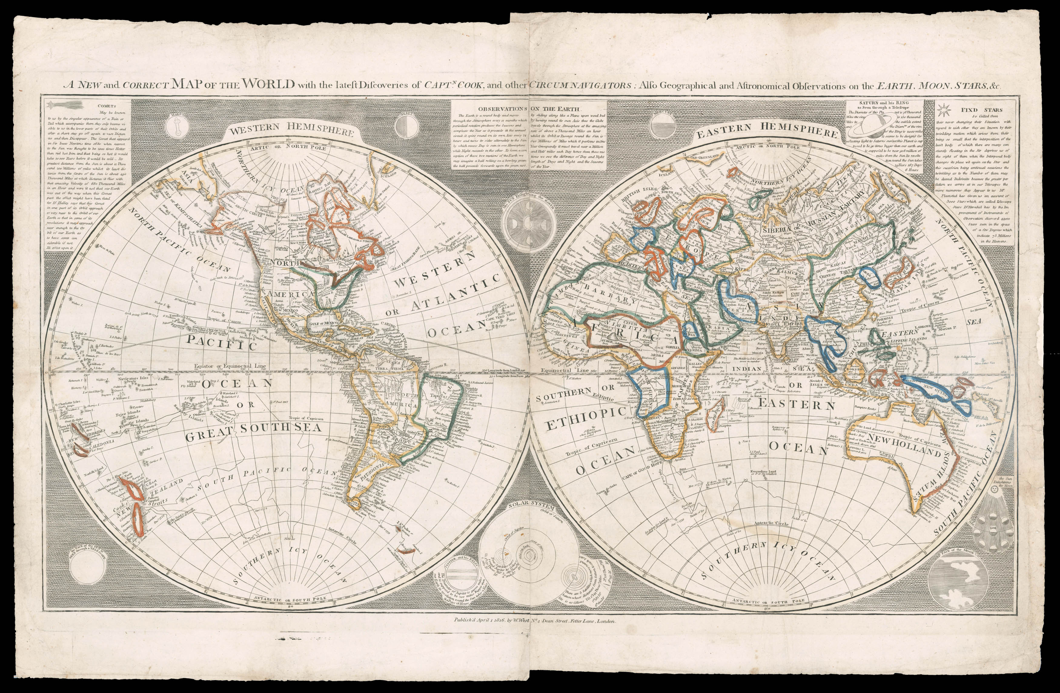 Unrecorded state of William West's two sheet world map
1 × £5,000
Unrecorded state of William West's two sheet world map
1 × £5,000 -
×
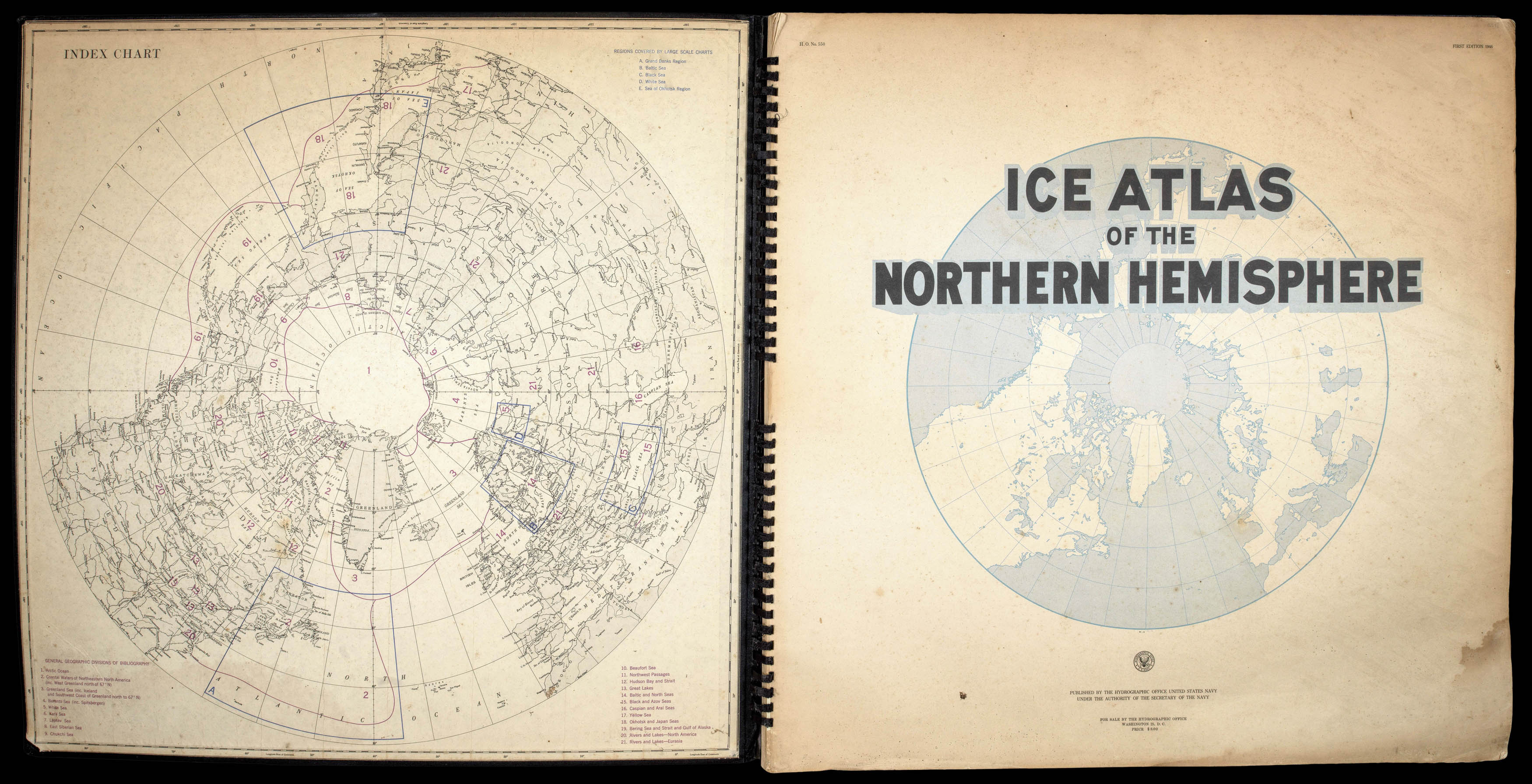 Arctic Ice Atlas
1 × £2,000
Arctic Ice Atlas
1 × £2,000

Rare Maps

Rare Atlases

Rare Books

Rare Prints

![DE JODE, Cornelis Novae Guineae Formus and Situs; Quivirae Regnu[m], cum alijs versus Borea[lem]](https://omega.crouchrarebooks.com/wp-content/uploads/2025/03/21877_1H.jpg)